


Saraburi, Thailand
เทศบาลเมืองสระบุรี
Saraburi is a regional capital of 67,763 people in Saraburi, Thailand.
Why visit Saraburi
Townapedia lists 5 parks and trails, 14 places to eat and 11 places to stay in and around town.
Weather in Saraburi
Forecast from MET Norway (CC BY 4.0). Full forecast
About Saraburi
Saraburi City (thesaban mueang) is the provincial capital of Saraburi Province in central Thailand. In 2020, it had a population of 60,809 people, and covers the complete tambon Pak Phriao of the Mueang Saraburi district.
From the Wikipedia article Saraburi (this version), under CC BY-SA 4.0.
Travel tips from other travellers: Saraburi on Wikivoyage (CC BY-SA 4.0).
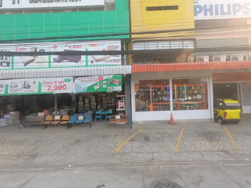
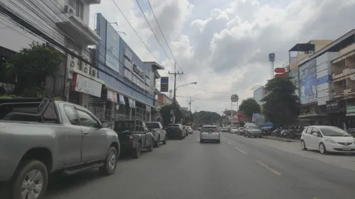
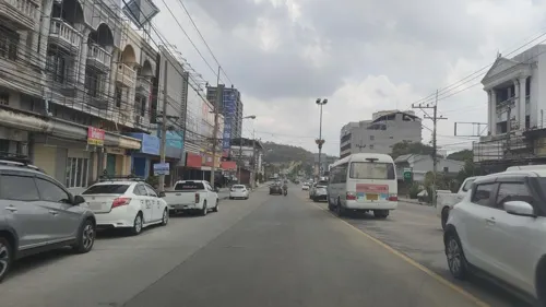
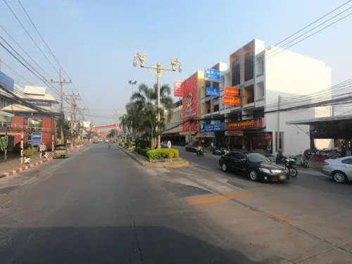
Photos of Saraburi


Parks, trails and playgrounds5


Restaurants and cafes14
ก๋วยเตี๋ยวเรือเจ้าค่ะ
Restaurant · ก๋วยเตี๋ยว · 1.3 km
Sut Banthat, สระบุรี
10:00-22:00

ลาน คาเฟ่ ลิตเติ้ลพิก
Cafe · Coffee Shop, Regional
352/19 ถนนพิชัยรณรงค์สงคราม, ปากเพรียว
Mo-Su 10:00-20:00

Triple A Thai Indian Restaurant
Restaurant · 0.8 km
Very local authentic Indian restaurant with a large menu of Indian dishes as well as Thai fare
216/1 Thetsaban 9
จั๊บบ้านจู
Restaurant · 1.1 km
100/102 Phahon Yothin Soi 4
Mo-Sa 07:30-14:00
ข้าวมันไก่บ้านบึง 2
Restaurant · 1.2 km
229/13 ถนนเทศบาล 4, ปากเพรียว
จันทร์-อาทิตย์ 16:00 - 20:30
2 more on the map.
Where to stay11

Churches and places of worship7


History
Saraburi was founded in 1549 as a base for troop recruitment by King Maha Chakkraphat due to the threat of the growing Burmese Toungoo Dynasty.
In 1624, Wat Phra Phutthabat was built by King Songtham of Ayutthaya on the city.
The royal decree established the Saraburi Municipality on 10 December 1835 with an area of 5 square kilometers.
From the History section of Saraburi on Wikipedia, under CC BY-SA 4.0.
Notable people from Saraburi
 Dechawat PoomjaengThai snooker playerPhoto: Benutzer:Bill da Flute, CC BY-SA 3.0
 Nutcharut WongharuthaiThai snooker playerPhoto: BennyOnTheLoose, CC0
 Kesarin ChaichalermpolThai actressPhoto: YingsakfoodTV, CC BY 3.0
 Pakorn PrempakThai footballerPhoto: El_Loko für www.thai-fussball.com, CC BY 4.0
- Totchtawan SripanThai footballer
- Prakit DeepormThai footballer
- Nitipong SelanonThai footballer
- Sivakorn Tiatrakulassociation football player
- Nattachai Srisuwanassociation football player
- Chaleumpol TikumpornteerawongThai actor
- Amnart Chalermchaowaritformer football player from Thailand
- Arthit TanusornThai footballer
Born in Saraburi, according to Wikidata (CC0). Each name links to its Wikipedia article.
Shopping5
Gas and EV charging3
Schools, colleges and libraries3
Healthcare4
Map of Saraburi
52 places. The map loads OpenStreetMap tiles when you open it.
Getting there and nearby towns
Khok Kathiam Airforce Base (KKM) is the nearest airport with scheduled flights listed in OpenStreetMap, 47 km away.
- Sing Buri 68 km northwest, about 1 h 15 min by car
- Sai Mai 74 km southwest, about 1 h 15 min by car
- Nong Chok 76 km south, about 1 h 15 min by car
- Khlong Sam Wa 76 km south, about 1 h 15 min by car
- Lak Si 81 km southwest, about 1 h 15 min by car
- Pak Kret 83 km southwest, about 1 h 30 min by car
- Mueang Nonthaburi 86 km southwest, about 1 h 30 min by car
- Chatuchak 87 km southwest, about 1 h 30 min by car
- Bueng Kum 87 km south, about 1 h 30 min by car
- Lat Phrao 88 km south, about 1 h 30 min by car
Drive times are estimates from straight-line distance, not routes.
Towns near Saraburi


Keep exploring
Local news
Headlines from INDB.
Reviews, tips and questions
Loading what members have shared...
Sources and licences
- GeoNames (CC BY 4.0): population, coordinates, regions and time zone
- Mapillary (see each image): photos
- OpenStreetMap contributors (ODbL 1.0): places, airports, map data
- Wikidata (CC0 1.0): elevation, founding date, time zone, website
- Wikimedia Commons (see each image): photos
- Wikipedia (CC BY-SA 4.0): overview and history text
Photo credits
- Province hall Saraburi, Ahoerstemeier, CC BY-SA 3.0
- SANY R285R excavator in Thailand, Syced, CC0
- Ischiodon scutellaris 252488884, portioid, CC BY-SA 4.0
- Oplodontha rubrithorax 252488909, portioid, CC BY-SA 4.0
- Bagrada hilaris 252489354, portioid, CC BY-SA 4.0
- Cheilomenes sexmaculata 252489063, portioid, CC BY-SA 4.0
- Cheilomenes sexmaculata 252489066, portioid, CC BY-SA 4.0
- Ricania speculum 252489198, portioid, CC BY-SA 4.0
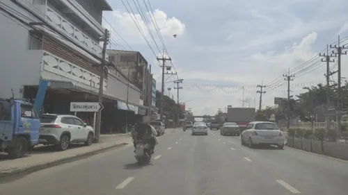
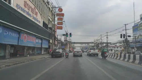
- Street-level photo, koki2529, CC BY-SA 4.0
- Street-level photo, ozflor, CC BY-SA 4.0
- Street-level photo, ozflor, CC BY-SA 4.0
- Street-level photo, koki2529, CC BY-SA 4.0
- Street-level photo, jetman11, CC BY-SA 4.0
- Street-level photo, koki2529, CC BY-SA 4.0
- Street-level photo, koki2529, CC BY-SA 4.0
- Street-level photo, ratirat, CC BY-SA 4.0
- Street-level photo, koki2529, CC BY-SA 4.0
- Street-level photo, ozflor, CC BY-SA 4.0
- Street-level photo, koki2529, CC BY-SA 4.0
- Street-level photo, ozflor, CC BY-SA 4.0
- Street-level photo, koki2529, CC BY-SA 4.0
- Street-level photo, ThailandCambodia, CC BY-SA 4.0
Page built November 10, 2026. Spotted a mistake? Tell us or suggest a place.