


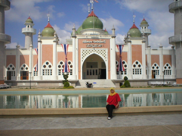

Pattani, Thailand
เทศบาลเมืองปัตตานี
Pattani is a regional capital of 43,690 people in Pattani, Thailand.
Why visit Pattani
Townapedia lists 1 museum or landmark, 2 parks and trails, 8 places to eat and 4 places to stay in and around town.
Weather in Pattani
Forecast from MET Norway (CC BY 4.0). Full forecast
About Pattani
Pattani is a town (thesaban mueang) in the far south of Thailand, near the border with Malaysia. It is the capital of Pattani Province. The city has a population of 44,353 (2018). It covers the whole tambon Sabarang, Anoru and Chabang Tiko of Mueang Pattani district.
From the Wikipedia article Pattani, Thailand (this version), under CC BY-SA 4.0.
Travel tips from other travellers: Pattani on Wikivoyage (CC BY-SA 4.0).
Photos of Pattani


Museums and landmarks1
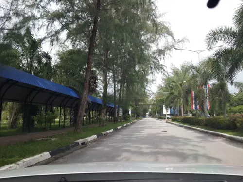
Parks, trails and playgrounds2


Restaurants and cafes8
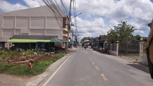
Black Blood Roastery Pattani
Cafe · Coffee Shop · 0.8 km
ถนนโรงอ่าง
Mo-Su 07:30-22:00
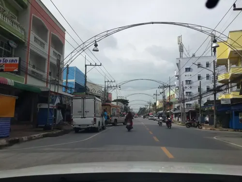

Eyvall Cafe
Cafe · Coffee Shop, อาหาร · 1.3 km
8/11 Yarang Soi 8 Road
Mo-Su 08:00-22:00
Sapakafe 36 Pattani
Cafe · Coffee Shop
139 Pattanipirom Road
Mo-Su 09:00-21:00

Where to stay4

History
Modern Pattani is located at the mouth of the Pattani River. The river may have changed course and empty into the sea at the current location in the 16th century. A small port existed in the current location at Kuala Bekah (Kuala Sungai Patani) at the mouth of Patani River by the late 16th and early 17th centuries. Kuala Bekah was one of the two river mouths of old Pattani, the other being Kuala Ru, near which was the old historical centre of the Patani Kingdom that ruled over the region of Patani. The older centre was located 6–7 km to the east of the present city; near Ban Kru Se or Kampong Kersik, which is where the Krue Se Mosque is located. Pattani was captured and sacked by the Siamese in 1785. The town centre developed in the current location and the Sultan moved to Cabang Tiga at the southern side of present-day Pattani in the 19th century. The Patani City municipality was established in 1935 by royal decree.
From the History section of Pattani, Thailand on Wikipedia, under CC BY-SA 4.0.
Notable people from Pattani
 Supachai Jaidedassociation football playerPhoto: Explicit, CC BY-SA 4.0
- Haji Sulong Abdul QadirThai politician (1893–1954?)
Born in Pattani, according to Wikidata (CC0). Each name links to its Wikipedia article.
Churches and places of worship8
Shopping2
Gas and EV charging1
Schools, colleges and libraries10
Healthcare1
Map of Pattani
37 places. The map loads OpenStreetMap tiles when you open it.
Getting there and nearby towns
Pattani Airport (PAN) is the nearest airport with scheduled flights listed in OpenStreetMap, 14 km away.
- Nong Chik 8 km west, about 8 min by car
- Yaring 13 km east, about 13 min by car
- Yala 37 km south, about 37 min by car
- Ban I Sing 43 km southeast, about 43 min by car
- Sai Buri 45 km southeast, about 45 min by car
- Ban Asin Mittraphap 45 km south, about 45 min by car
- Songkhla 81 km northwest, about 1 h 15 min by car
- Narathiwat 80 km southeast, about 1 h 15 min by car
- Hat Yai 87 km west, about 1 h 30 min by car
- Ban Mai 86 km northwest, about 1 h 30 min by car
Drive times are estimates from straight-line distance, not routes.
Towns near Pattani


Keep exploring
Local news
Headlines from INDB.
Reviews, tips and questions
Loading what members have shared...
Sources and licences
- GeoNames (CC BY 4.0): population, coordinates, regions and time zone
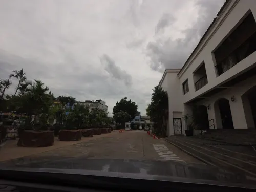
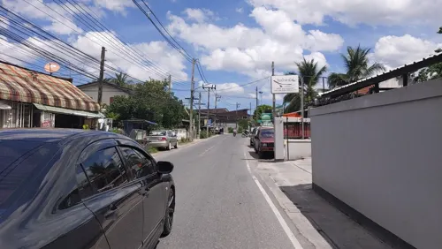
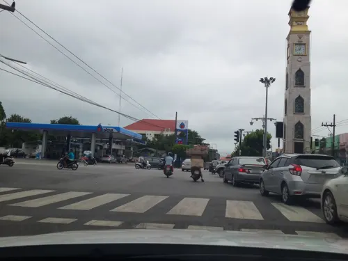
- Mapillary (see each image): photos
- OpenStreetMap contributors (ODbL 1.0): places, airports, map data
- Wikidata (CC0 1.0): elevation, founding date, time zone, website
- Wikimedia Commons (see each image): photos
- Wikipedia (CC BY-SA 4.0): overview and history text
Photo credits
- Anoru, Mueang Pattani District, Pattani 94000, Thailand - panoramio (4), กิตติ เลขะกุล, CC BY 3.0
- Anoru, Mueang Pattani District, Pattani 94000, Thailand - panoramio (2), กิตติ เลขะกุล, CC BY 3.0
- Anoru, Mueang Pattani District, Pattani 94000, Thailand - panoramio (3), กิตติ เลขะกุล, CC BY 3.0
- Anoru, Mueang Pattani District, Pattani 94000, Thailand - panoramio (1), กิตติ เลขะกุล, CC BY 3.0
- Anoru, Mueang Pattani District, Pattani 94000, Thailand - panoramio, กิตติ เลขะกุล, CC BY 3.0
- Leng Chu Kiang Shrine in Pattani, 2012, กิตติ เลขะกุล, CC BY 3.0
- Leng Chu Kiang Shrine in Pattani at night, 2012, กิตติ เลขะกุล, CC BY 3.0
- Rusamilae, Mueang Pattani District, Pattani, Thailand - panoramio (5), กิตติ เลขะกุล, CC BY 3.0
- Rusamilae, Mueang Pattani District, Pattani, Thailand - panoramio (11), กิตติ เลขะกุล, CC BY 3.0
- Rusamilae, Mueang Pattani District, Pattani, Thailand - panoramio (13), กิตติ เลขะกุล, CC BY 3.0
- Rusamilae, Mueang Pattani District, Pattani, Thailand - panoramio (12), กิตติ เลขะกุล, CC BY 3.0
- Rusamilae, Mueang Pattani District, Pattani, Thailand - panoramio (6), กิตติ เลขะกุล, CC BY 3.0
- Rusamilae, Mueang Pattani District, Pattani, Thailand - panoramio (14), กิตติ เลขะกุล, CC BY 3.0
- Rusamilae, Mueang Pattani District, Pattani, Thailand - panoramio, Mozhar, CC BY-SA 3.0
- Rusamilae, Mueang Pattani District, Pattani, Thailand - panoramio (1), Mozhar, CC BY-SA 3.0
- Rusamilae, Mueang Pattani District, Pattani, Thailand - panoramio (4), Mozhar, CC BY-SA 3.0
- Rusamilae, Mueang Pattani District, Pattani, Thailand - panoramio (2), Mozhar, CC BY-SA 3.0
- Rusamilae, Mueang Pattani District, Pattani, Thailand - panoramio (3), Mozhar, CC BY-SA 3.0
- Rusamilae, Mueang Pattani District, Pattani, Thailand - panoramio (16), กิตติ เลขะกุล, CC BY 3.0
- Pattani mosque, Ukwaenterprise, CC BY 2.0
- Leng Chu Kiang Shrine in 2018, แอนเดอร์สัน, CC BY-SA 4.0
- Unnamed2 - panoramio (1923), กิตติ เลขะกุล, CC BY 3.0
- Street-level photo, EricJai, CC BY-SA 4.0
- Street-level photo, mishari, CC BY-SA 4.0
- Street-level photo, mishari, CC BY-SA 4.0
- Street-level photo, EricJai, CC BY-SA 4.0
- Street-level photo, mishari, CC BY-SA 4.0
- Street-level photo, mishari, CC BY-SA 4.0
- Street-level photo, mishari, CC BY-SA 4.0


Page built November 10, 2026. Spotted a mistake? Tell us or suggest a place.