
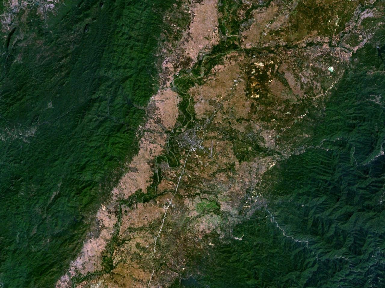


Phrae, Thailand
เทศบาลเมืองแพร่
Phrae is a regional capital of 38,538 people in Phrae, Thailand.
Why visit Phrae
Townapedia lists 14 museums and landmarks, 3 parks and trails, 37 places to eat and 19 places to stay in and around town.
Highlights include Khum Vongburi Museum and Baan Thep Museum.
Weather in Phrae
Forecast from MET Norway (CC BY 4.0). Full forecast
About Phrae
Phrae (Northern Thai: ᨻᩯᩖ᩵; Thai: แพร่; pronounced [pʰrɛ̂ː]) is a town (thesaban mueang) and capital of Phrae Province and Mueang Phrae district. It is located in Northern Thailand on the east bank of the Yom river, 555 km north of Bangkok by road.
From the Wikipedia article Phrae (this version), under CC BY-SA 4.0.
Travel tips from other travellers: Phrae on Wikivoyage (CC BY-SA 4.0).
Photos of Phrae


Museums and landmarks14


2 more on the map.
Parks, trails and playgrounds3

Restaurants and cafes37
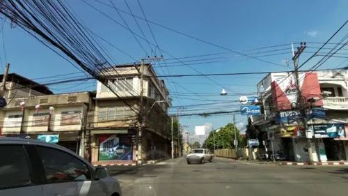
Gingerbread House Cafe B&B Gallery
Cafe · Coffee Shop, Cake, Dessert
1 เจริญเมือง
Mo-Su 08:00-17:00
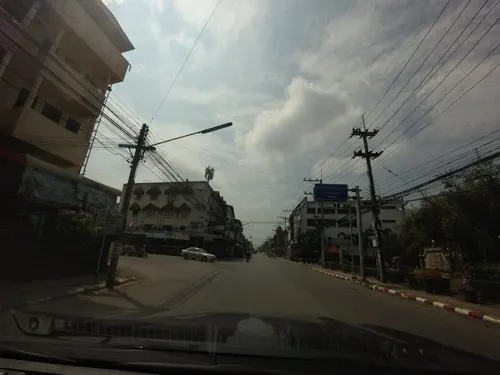
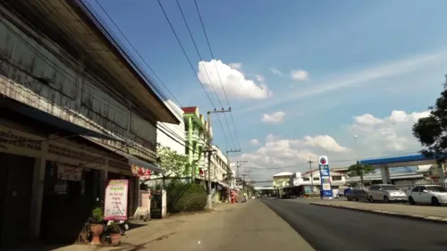

Am Tea สาขาเมืองเก่าแพร่
Cafe · Bubble Tea
19/2 ไชยบูรณ์, ในเวียง
Mo-Su 09:00-17:00

Wee Wee
Restaurant · Burger, Italian, Cake, Italian Pizza, Coffee Shop · 1.8 km
ราชอุทิศ
Tu-Su 10:00-21:00
Nong Hang restaurant
Restaurant · 0.7 km
5 พระนอนใต้
Mo-Su 09:00-21:00
25 more on the map.
Where to stay19

Huen Him Kong hotel
Motel and hotel
16/1 Chumchon Wat Luang Alley, Thung Kwao, Mueang Phrae District, Chang Wat Phrae , 54000 Phrae, T
7 more on the map.
History
Phrae was constructed during the Early to Mid Hiran Ngoenyang and Haripunchai period. One of the earliest temples to be constructed in Phrae was Wat Phra That Cho Hae around 1336-1338 during the Sukhothai period. During the 16th century, the town served as an outpost controlled by the Kingdom of Lan Na.
During the 19th century, the Northern Thailand experienced economic growth through the teak industry. Due to Phrae's location to numerous teak forests, the town become home to several foreign residences and companies that operated teak farms nearby, such as the East Asiatic company and the Bombay Burmah Trading Corporation. The East Asiatic company began logging in 1897 until it expired in 1936; while the Bombay Burmah was granted in 1889 a logging concession. Increased foreign presence of companies later led to an influx of foreign residences from different nations such as the United Kingdom, United States and Denmark. It also led to an influx of Christians and Christian missionaries, such as the American Presbyterian mission.
Read more of the history
The last chao luang (king) of Phrae, Phiriya Theppawong, ascended the throne upon his father's death on 5 April 1889. In 1891, the former treasurer of Phrae constructed the Wichai Racha Residence, which would act as a safehouse during the Ngiao rebellion and World War II. In 1892, Khum Chao Luang was constructed as the royal residence of the chao luang. In 1897, Chinese architects from Guangzhou constructed a pink-white mansion made from teak which served as a wedding present for the king of Phrae to his stepdaughter. Also in the same year, in line with Chulalongkorn centralisation reforms, Bangkok appointed Phraya Chaiboon (Thongyuu Suwanbat) as the governor.
On 25 July 1902, a group of Shan miners who previously ambushed Siamese police and soldiers, stormed the police station in Phrae led by Sala Po Chai and Phaka Mong. The rioters, now numbering around 300, stormed the governor's residence and forced the chao luang to aid the rebellion. They then went about killing ethnic Central Thai residences, including the governor Thongyuu. From 25 July to 16 August, the town remained under Shan control. However, military defeat to the Siamese army led to mass disorganisation and anarchy in the town after the death of their leaders. On August 5, Harold Lyle, the British vice-consul in Nan, moved into the former governor's residence in an attempt to restore order. He however delayed the Siamese and Danish armies from entering the town in fear that a massacre of local and foreign residences would occur. Finally on August 16, Pichai provincial police reclaimed the town before the main Siamese army led by Surasak Montri arrived on August 20. For his involvement in the rebellion, the chao luang went into exile in Luang Prabang and the Kingdom of Phrae was ended.
During World War II after the Japanese invasion of Thailand and Thailand siding with the Japanese, members of the Free Thai movement operated in Phrae and used the Wichai Racha Residence as a safehouse.
Following the 2014 coup, the National Council for Peace and Order ceased all duties of Mayor Chokchai Phanomkwan on 25 June 2015. Prime-minister Prayut Chan-o-cha reinstated Chokchai's duties on 28 August 2020. Chokchai Phanomkwan was removed as mayor of Phrae due to corruption in delaying hotel taxes and parking fee collection on 25 January 2022.
From the History section of Phrae on Wikipedia, under CC BY-SA 4.0.
More about Phrae
Geography
Phrae lies on the Yom River, at an elevation of 159 metres (522 ft). The town is mostly built on the east side of the river, but some outlying parts are built on the west side of the river and are connected to the main part by bridges. There are hills both to the east and west of the town; the Phlueng Range to the east are higher, reaching about 800 metres (2,600 ft) above sea level, whereas the Phi Pan Nam Range to the west are about 500 metres (1,600 ft) above sea level.
At Phae Muang Phi, a few kilometres north of Phrae, there is a landscape of mushroom rocks and pillars shaped by natural erosive action.
Arts and culture
Phrae is home to many notable Buddhist temples, including Wat Phrathat Cho Hae, Wat Pongsunan (Temple of the Tortoise), Wat Chorm Sawan, Khum Chao Luang, and Wat Phra That Cho Hae.
The latter is on a hill, nine km away from the town center. During the 1800s, two teak bungalows were built by Christians in place of churches and are still present in the town.
From the Wikipedia article Phrae, under CC BY-SA 4.0.
Notable people from Phrae
- Sanukran Thinjomassociation football player
- Nopparat Sakun-oodassociation football player (1986-)
- Thongchai RungreanglesThai football manager (born 1986)
Born in Phrae, according to Wikidata (CC0). Each name links to its Wikipedia article.
Churches and places of worship27
Shopping7
Gas and EV charging7
Schools, colleges and libraries16
Healthcare6
Map of Phrae
136 places. The map loads OpenStreetMap tiles when you open it.
Getting there and nearby towns
Phrae Airport (PRH) is the nearest airport with scheduled flights listed in OpenStreetMap, 3 km away.
- Den Chai 20 km southwest, about 20 min by car
- Rong Kwang 28 km northeast, about 28 min by car
- Long 34 km west, about 34 min by car
- Uttaradit 58 km south, about 58 min by car
- Lampang 70 km west, about 1 h 15 min by car
- Si Satchanalai 81 km southwest, about 1 h 15 min by car
Drive times are estimates from straight-line distance, not routes.
Towns near Phrae


Keep exploring
Local news
Headlines from INDB.
Reviews, tips and questions
Loading what members have shared...
Sources and licences
- GeoNames (CC BY 4.0): population, coordinates, regions and time zone
- Mapillary (see each image): photos
- OpenStreetMap contributors (ODbL 1.0): places, airports, map data
- Wikidata (CC0 1.0): elevation, founding date, time zone, website
- Wikimedia Commons (see each image): photos
- Wikipedia (CC BY-SA 4.0): overview and history text
Photo credits
- Phrae 100.14743E 18.13585N, NASA, Public domain
- Earth pillars at Phae Mueang Phi Forest Park, Phrae Province, Thailand, Danai khoche, CC BY-SA 4.0
- วัดหลวง, วิชญ์พล เมืองคุ้ม, CC BY-SA 3.0
- Group of earth pillars at Phae Mueang Phi Forest Park, Thailand, Danai khoche, CC BY-SA 4.0
- Wat luang pagoda, Tittabut, CC BY-SA 4.0
- จวนเจ้าเมืองแพร่, Andromeda Oscar, CC BY-SA 3.0
- ลายจำหลักไม้คุ้มวิชัยราชา, Andromeda Oscar, CC BY-SA 3.0
- ลายฉลุประดับจวนเจ้าเมืองแพร่, Andromeda Oscar, CC BY-SA 3.0
- เจดีย์พม่าวัดจอมสวรรค์, Andromeda Oscar, CC BY-SA 3.0
- Street-level photo, toffy, CC BY-SA 4.0
- Street-level photo, toffy, CC BY-SA 4.0
- Street-level photo, mishari, CC BY-SA 4.0
- Street-level photo, toffy, CC BY-SA 4.0
- Street-level photo, toffy, CC BY-SA 4.0
- Street-level photo, toffy, CC BY-SA 4.0
- Street-level photo, toffy, CC BY-SA 4.0
- Street-level photo, balthus_mc, CC BY-SA 4.0
- Street-level photo, mishari, CC BY-SA 4.0
Page built November 10, 2026. Spotted a mistake? Tell us or suggest a place.