


San Pa Tong, Thailand
เทศบาลตำบลสันป่าตอง
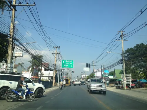
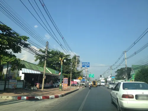
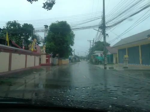
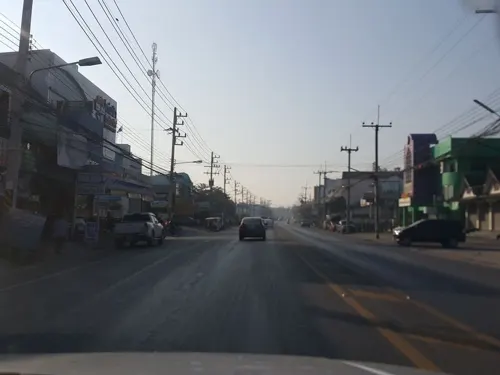
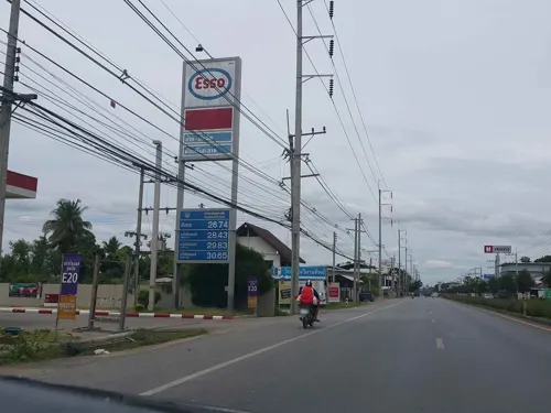
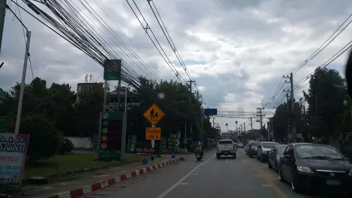
San Pa Tong is a town of 17,773 people in Chiang Mai, Thailand, founded in September 17, 1955.
Loading the weather...
Population17,773
GeoNames
Local nameเทศบาลตำบลสันป่าตอง
RegionChiang Mai
Elevation300 m
984 ft
FoundedSeptember 17, 1955
Time zoneAsia/Bangkok
Nearest airportChiang Mai International Airport (CNX)
17 km
Why visit San Pa Tong
Townapedia lists 5 places to eat and 1 place to stay in and around town.
Weather in San Pa Tong
Forecast from MET Norway (CC BY 4.0). Full forecast
Restaurants and cafes5

ร้านอาหารบ้านสองนคร
Restaurant · 2.0 km
Yu Wa, San Pa Tong District, Chiang Mai 50120, Таиланд
Mo-Su 10:00-22:00

Where to stay1

Churches and places of worship10


Gas and EV charging4



Schools, colleges and libraries4
Map of San Pa Tong
24 places. The map loads OpenStreetMap tiles when you open it.
Getting there and nearby towns
Chiang Mai International Airport (CNX) is the nearest airport with scheduled flights listed in OpenStreetMap, 17 km away.
- Hang Dong 7 km north, about 7 min by car
- Lamphun 13 km southeast, about 13 min by car
- Pa Sang 12 km south, about 12 min by car
- Chiang Mai 20 km northeast, about 20 min by car
- San Kamphaeng 27 km northeast, about 27 min by car
- Mae Tha 32 km southeast, about 32 min by car
- Chom Thong 33 km southwest, about 33 min by car
- Ban Pa Khaem 56 km north, about 56 min by car
- Ban Aen Mai 72 km southwest, about 1 h 15 min by car
- Lampang 73 km southeast, about 1 h 15 min by car
Drive times are estimates from straight-line distance, not routes.
Keep exploring
Local news
Headlines from INDB.
Reviews, tips and questions
Loading what members have shared...
Sources and licences
- GeoNames (CC BY 4.0): population, coordinates, regions and time zone
- Mapillary (see each image): photos
- OpenStreetMap contributors (ODbL 1.0): places, airports, map data
- Wikidata (CC0 1.0): elevation, founding date, time zone, website, landmarks and historic places
- Wikimedia Commons (see each image): photos
Photo credits
- 0003459SanpatongLuang14, Yawamast Liptaseeree, CC BY-SA 4.0
- ก่อนลงที่เชียงใหม่ - panoramio, ::::=UT=::::, CC BY-SA 3.0
- Street-level photo, jrcarlsen, CC BY-SA 4.0
- Street-level photo, jrcarlsen, CC BY-SA 4.0
- Street-level photo, jimwatana, CC BY-SA 4.0
- Street-level photo, jimwatana, CC BY-SA 4.0
- Street-level photo, jrcarlsen, CC BY-SA 4.0
- Street-level photo, chanon, CC BY-SA 4.0
- Street-level photo, jrcarlsen, CC BY-SA 4.0
- Street-level photo, jrcarlsen, CC BY-SA 4.0
Page built November 10, 2026. Spotted a mistake? Tell us or suggest a place.