


Why visit Boyalıca
Townapedia lists 1 place to eat in and around town.
Weather in Boyalıca
Forecast from MET Norway (CC BY 4.0). Full forecast
About Boyalıca
Boyalıca is a neighbourhood of the municipality and district of İznik, Bursa Province, Turkey. Its population is 2,152 (2022). Before the 2013 reorganisation, it was a town (belde).
From the Wikipedia article Boyalıca, İznik (this version), under CC BY-SA 4.0.
Restaurants and cafes1
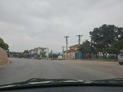
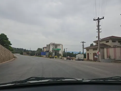
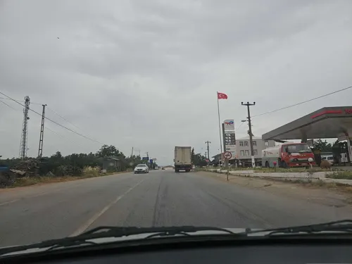
Gas and EV charging2


History
During Ottoman Empire era Boyalıca had a mixed population of Turks (who called themselves as Manav) and Greeks who were the fishermen of the lake. According to legend, the name of Boyalıca is a corrupt form of Buyalı. (Yalı means "waterfront"). After Russo-Turkish War (1877-1878) Turkish refugees from Bulgaria were settled in Boyalıca. After the Population exchange agreement between Turkey and Greece following the Turkish War of Independence in 1920s, Greeks left Boyalıca. In 1989, during the ethnic cleansing years in Bulgaria, another wave of Turkish families from Bulgaria were also settled in Boyalıca, but after Bulgarian government changed policy towards Turks, most of them returned. (See Turks in Bulgaria) In the same year Boyalıca was declared a seat of township.
From the History section of Boyalıca, İznik on Wikipedia, under CC BY-SA 4.0.
Map of Boyalıca
3 places. The map loads OpenStreetMap tiles when you open it.
Getting there and nearby towns
Bursa Yenişehir Airport (YEI) is the nearest airport with scheduled flights listed in OpenStreetMap, 25 km away.
- İznik 15 km southeast, about 15 min by car
- Karamürsel 24 km north, about 24 min by car
- Yalova 31 km northwest, about 31 min by car
- Diliskelesi 33 km north, about 33 min by car
- Gölcük 34 km northeast, about 34 min by car
- Gemlik 34 km west, about 34 min by car
- Gebze 37 km north, about 37 min by car
- Derince 37 km northeast, about 37 min by car
- Körfez 37 km northeast, about 37 min by car
- İzmit 44 km northeast, about 44 min by car
Drive times are estimates from straight-line distance, not routes.
Local news
Headlines from INDB.
Reviews, tips and questions
Loading what members have shared...
Sources and licences
- GeoNames (CC BY 4.0): population, coordinates, regions and time zone
- Mapillary (see each image): photos
- OpenStreetMap contributors (ODbL 1.0): places, airports, map data
- Wikidata (CC0 1.0): elevation, founding date, time zone, website
- Wikimedia Commons (see each image): photos
- Wikipedia (CC BY-SA 4.0): overview and history text
Photo credits
- Boyalıca, 16860 Boyalıca-İznik-Bursa, Turkey - panoramio, Oğuz Han Erol, CC BY 3.0
- 16860 Boyalıca-İznik-Bursa, Turkey - panoramio, suataffeder, CC BY 3.0
- Road232, Archaeology Tur - Şahin Uysal, CC BY-SA 4.0
- Street-level photo, kubikanber, CC BY-SA 4.0
- Street-level photo, kubikanber, CC BY-SA 4.0
- Street-level photo, kubikanber, CC BY-SA 4.0
Page built November 8, 2026. Spotted a mistake? Tell us or suggest a place.