


Why visit Diliskelesi
Townapedia lists 3 museums and landmarks, 4 parks and trails, 17 places to eat, 1 place to stay and 1 attraction in and around town.
Highlights include Osmangazi Bridge, Libyssa, Dilovası Mimar Sinan Köprüsü and Silicon Valley of Turkey.
Weather in Diliskelesi
Forecast from MET Norway (CC BY 4.0). Full forecast
About Diliskelesi
Diliskelesi is a neighbourhood of the municipality and district of Dilovası, Kocaeli Province, Turkey. Its population is 10,910 (2022). It is a port on the north side of the Gulf of İzmit.
From the Wikipedia article Diliskelesi (this version), under CC BY-SA 4.0.
Things to do1

Osmangazi Bridge
Bridge · 2.5 km
Suspension bridge between Yalova and Kocaeli
Museums and landmarks3

Libyssa
Monument and historic site · 1.3 km
Ancient city of Bithynia in modern-day Turkey


Parks, trails and playgrounds4

Silicon Valley of Turkey
Park · 2.1 km
Technology development zone in Turkey


Restaurants and cafes17

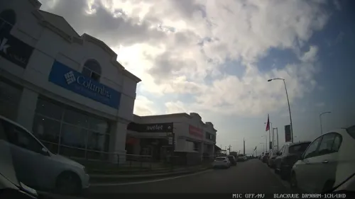
Kahve Dünyası
Cafe · Coffee Shop · 0.6 km
50/3A 735. Sokak, Kocaeli
06:30-23:00
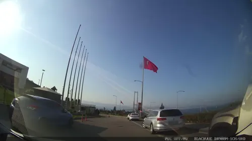
Bursa Kebap Evi
Restaurant · Turkish · 0.7 km
50/4F 735. Sokak, Kocaeli
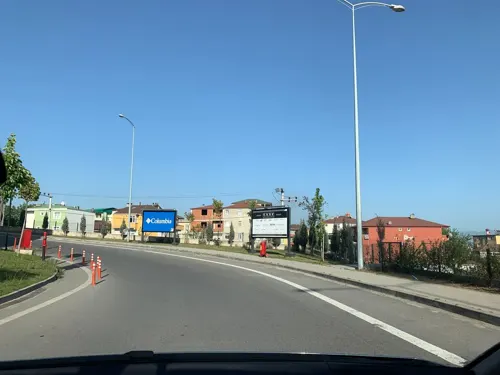
Günaydın
Restaurant · Turkish · 0.7 km
50/1G 735. Sokak, Kocaeli
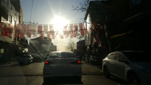




5 more on the map.
Where to stay1
Churches and places of worship9
Shopping8
Gas and EV charging7
Schools, colleges and libraries13
Healthcare15
Map of Diliskelesi
78 places. The map loads OpenStreetMap tiles when you open it.
Getting there and nearby towns
Sabiha Gökçen International Airport (SAW) is the nearest airport with scheduled flights listed in OpenStreetMap, 22 km away.
- Gebze 9 km west, about 9 min by car
- Karamürsel 12 km southeast, about 12 min by car
- Körfez 22 km east, about 22 min by car
- Derince 24 km east, about 24 min by car
- Gölcük 25 km east, about 25 min by car
- İzmit 34 km east, about 34 min by car
- Sancaktepe 35 km northwest, about 35 min by car
- İznik 42 km southeast, about 42 min by car
- Ümraniye 43 km northwest, about 43 min by car
- Istanbul 55 km northwest, about 55 min by car
Drive times are estimates from straight-line distance, not routes.
Local news
Headlines from INDB.
Reviews, tips and questions
Loading what members have shared...
Sources and licences
- GeoNames (CC BY 4.0): population, coordinates, regions and time zone
- Mapillary (see each image): photos
- OpenStreetMap contributors (ODbL 1.0): places, airports, map data
- Wikidata (CC0 1.0): elevation, founding date, time zone, website, landmarks and historic places
- Wikimedia Commons (see each image): photos
- Wikipedia (CC BY-SA 4.0): overview and history text
Photo credits
- Osman Gazi Bridge1, Glabb, CC BY-SA 3.0
- Silicon Valley of Turkey, Yasin isa yildirim, CC BY-SA 4.0
- Hanibal's Tomb (7471635270), William Neuheisel from DC, US, CC BY 2.0
- Street-level photo, empty, CC BY-SA 4.0
- Street-level photo, asturksever, CC BY-SA 4.0
- Street-level photo, asturksever, CC BY-SA 4.0
- Street-level photo, empty, CC BY-SA 4.0
- Street-level photo, emrezbas, CC BY-SA 4.0
- Street-level photo, emrezbas, CC BY-SA 4.0
- Street-level photo, asturksever, CC BY-SA 4.0
- Street-level photo, emrezbas, CC BY-SA 4.0
- Street-level photo, emrezbas, CC BY-SA 4.0
- Street-level photo, emrezbas, CC BY-SA 4.0
- Street-level photo, emrezbas, CC BY-SA 4.0
- Street-level photo, emrezbas, CC BY-SA 4.0
- Street-level photo, emrezbas, CC BY-SA 4.0
- Street-level photo, emrezbas, CC BY-SA 4.0
- Street-level photo, emrezbas, CC BY-SA 4.0
Page built November 8, 2026. Spotted a mistake? Tell us or suggest a place.