


Why visit Çatalca
Townapedia lists 1 museum or landmark, 5 parks and trails, 13 places to eat, 1 place to stay and 5 attractions in and around town.
Weather in Çatalca
Forecast from MET Norway (CC BY 4.0). Full forecast
About Çatalca
Çatalca (Turkish pronunciation: [tʃaˈtaɫdʒa]) is a municipality and district of Istanbul Province, Turkey. Its area is 1142 km2, making it the largest district in Istanbul Province by area. Its population is 77,468 (2022). It is in East Thrace, on the ridge between the Marmara and the Black Sea.
From the Wikipedia article Çatalca (this version), under CC BY-SA 4.0.
Travel tips from other travellers: Çatalca on Wikivoyage (CC BY-SA 4.0).
Things to do5

Museums and landmarks1
Parks, trails and playgrounds5


Restaurants and cafes13

Doğa Cafe Restaurant - Alev Hanım'ın Mutfağı
Restaurant · Regional · 0.6 km
6-8 Martı sokak, İstanbul
Mo-Su 09:00-21:00




1 more on the map.
Where to stay1
Churches and places of worship6
Shopping10
Schools, colleges and libraries6
Healthcare18
Çakıl Eczanesi
Clinic and pharmacy · 2.2 km
34/D Mustafa Kemal Atatürk Caddesi, İstanbul
Map of Çatalca
65 places. The map loads OpenStreetMap tiles when you open it.
Getting there and nearby towns
Istanbul Airport (IST) is the nearest airport with scheduled flights listed in OpenStreetMap, 29 km away.
- Tepecik 15 km southeast, about 15 min by car
- Silivri 19 km southwest, about 19 min by car
- Gürpınar 20 km southeast, about 20 min by car
- Beylikdüzü 23 km southeast, about 23 min by car
- Arnavutköy 24 km east, about 24 min by car
- İmrahor 25 km east, about 25 min by car
- Küçükçekmece 31 km southeast, about 31 min by car
- Bağcılar 35 km east, about 35 min by car
- Esenler 37 km east, about 37 min by car
- Bahçelievler 37 km southeast, about 37 min by car
Drive times are estimates from straight-line distance, not routes.
Local news
Headlines from INDB.
Reviews, tips and questions
Loading what members have shared...
Sources and licences
- GeoNames (CC BY 4.0): population, coordinates, regions and time zone
- Mapillary (see each image): photos
- OpenStreetMap contributors (ODbL 1.0): places, airports, map data
- Wikidata (CC0 1.0): elevation, founding date, time zone, website
- Wikimedia Commons (see each image): photos
- Wikipedia (CC BY-SA 4.0): overview and history text
Photo credits
- ÇilingozNaturePark (14), CeeGee, CC BY-SA 4.0
- Çatalca Ortaokul Çeşmesi IMG 1609, Ali Osman Dilekoğlu, CC BY-SA 4.0
- Kaleiçi Camii IMG 1499, Ali Osman Dilekoğlu, CC BY-SA 4.0
- Ferhad Paşa Camii, Ali Osman Dilekoğlu, CC BY-SA 4.0
- Ferhat Paşa Çeşmesi IMG 1547, Ali Osman Dilekoğlu, CC BY-SA 4.0
- Ferhat Paşa Çeşmesi Kitabe, Ali Osman Dilekoğlu, CC BY-SA 4.0
- Ferhat Paşa Çeşmesi IMG 1561, Ali Osman Dilekoğlu, CC BY-SA 4.0
- Ali Paşa Camii Çeşmesi, Ali Osman Dilekoğlu, CC BY-SA 4.0
- Kaleiçi Camii IMG 1496, Ali Osman Dilekoğlu, CC BY-SA 4.0
- Fotaki Çeşmesi IMG 1540, Ali Osman Dilekoğlu, CC BY-SA 4.0
- Topuklu Çeşme IMG 1535, Ali Osman Dilekoğlu, CC BY-SA 4.0
- Topuklu Çeşme IMG 1529, Ali Osman Dilekoğlu, CC BY-SA 4.0
- Topuklu Çeşme IMG 1524, Ali Osman Dilekoğlu, CC BY-SA 4.0
- Topuklu Çeşme IMG 1511, Ali Osman Dilekoğlu, CC BY-SA 4.0
- Emotion - panoramio (1), osmanm, CC BY 3.0
- Gaffar OKAN POLİS EVİ - panoramio, nami yildirim, CC BY 3.0
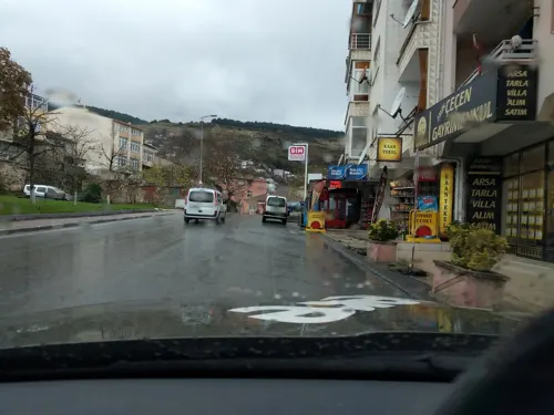
- Street-level photo, suleyman, CC BY-SA 4.0
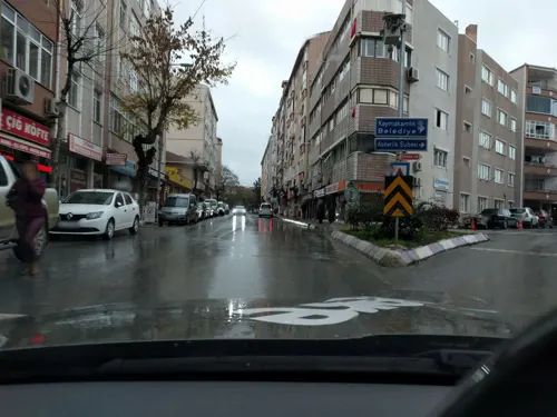
- Street-level photo, suleyman, CC BY-SA 4.0
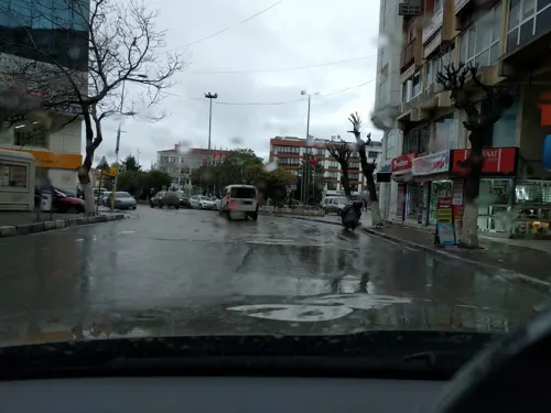
- Street-level photo, suleyman, CC BY-SA 4.0
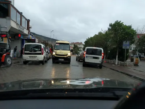
- Street-level photo, suleyman, CC BY-SA 4.0
- Street-level photo, suleyman, CC BY-SA 4.0
- Street-level photo, suleyman, CC BY-SA 4.0
- Street-level photo, suleyman, CC BY-SA 4.0
- Street-level photo, suleyman, CC BY-SA 4.0
- Street-level photo, suleyman, CC BY-SA 4.0
- Street-level photo, suleyman, CC BY-SA 4.0


Page built November 8, 2026. Spotted a mistake? Tell us or suggest a place.