


Why visit Gülpınar
Townapedia lists 7 museums and landmarks and 2 places to eat in and around town.
Highlights include Smintheion and Chryse (Troad).
Weather in Gülpınar
Forecast from MET Norway (CC BY 4.0). Full forecast
About Gülpınar
Gülpınar is a village in the Ayvacık District of Çanakkale Province in Turkey. Its population is 1,232 (2022).
From the Wikipedia article Gülpınar, Ayvacık (this version), under CC BY-SA 4.0.
Museums and landmarks7


Chryse (Troad)
Monument and historic site
Ancient city of Troas in modern-day Turkey

Hamaxitus
Monument and historic site · 2.5 km
Ancient city of Troas in modern-day Turkey

Restaurants and cafes2
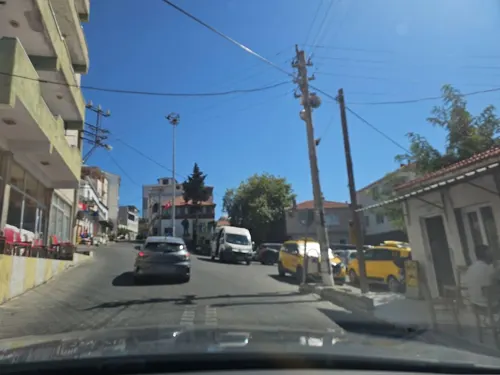
Manzara
Restaurant · Chicken, Grill, Turkish
Mo-Su 08:00-00:00
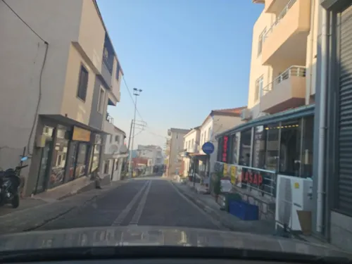
Shopping2
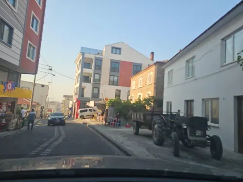
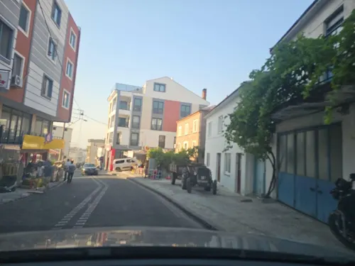
Gas and EV charging1
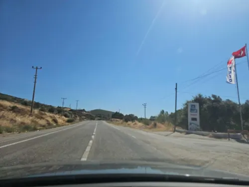


History
The name of the village is referred to as Hamaksitós in the records of 454 and Külahlı in the records of 1912. The village has the same name since 1928.
Gülpınar, which became a township in 1951, became a municipality on November 2, 1991. The municipality status of the town ended at the 2013 reorganisation when its population fell below 2000 people. The hamlet of Kızılkeçili is part of Gülpınar.
From the History section of Gülpınar, Ayvacık on Wikipedia, under CC BY-SA 4.0.
Healthcare2
Map of Gülpınar
14 places. The map loads OpenStreetMap tiles when you open it.
Getting there and nearby towns
Çanakkale Airport (CKZ) is the nearest airport with scheduled flights listed in OpenStreetMap, 72 km away.
- Tuzla 6 km northeast, about 6 min by car
- Çamkalabak 7 km east, about 7 min by car
- Kösedere 12 km northeast, about 12 min by car
- Ezine 34 km northeast, about 34 min by car
- Altınoluk 53 km east, about 53 min by car
- Gömeç 64 km east, about 1 h by car
- Burhaniye 73 km east, about 1 h 15 min by car
- Çanakkale 74 km north, about 1 h 15 min by car
- Edremit 78 km east, about 1 h 15 min by car
- Dikili 84 km southeast, about 1 h 30 min by car
Drive times are estimates from straight-line distance, not routes.
Local news
Headlines from INDB.
Reviews, tips and questions
Loading what members have shared...
Sources and licences
- GeoNames (CC BY 4.0): population, coordinates, regions and time zone
- Mapillary (see each image): photos
- OpenStreetMap contributors (ODbL 1.0): places, airports, map data
- Wikidata (CC0 1.0): elevation, founding date, time zone, website, landmarks and historic places
- Wikimedia Commons (see each image): photos
- Wikipedia (CC BY-SA 4.0): overview and history text
Photo credits
- Gülpınar - panoramio, incedere.123, CC BY-SA 3.0
- Chryse, Klaus-Peter Simon, CC BY 3.0
- Apollo Smintheion 1, Leon petrosyan, CC BY-SA 4.0
- Smintheion 20250830 162952, Özgür Arda BAYRAM, CC BY-SA 4.0
- Smintheion 2025-08-30 16-18-29, Özgür Arda BAYRAM, CC BY-SA 4.0
- Smintheion 20250830 163212, Özgür Arda BAYRAM, CC BY-SA 4.0
- Çeşme (Smintheion) 2026-09-14 14.46.54 1789477599, Emirhan Sağdır, CC BY-SA 4.0
- Hamam (Smintheion) 2026-09-14 15.12.18 1789587132, Emirhan Sağdır, CC BY-SA 4.0
- Hamam (Smintheion) 2026-09-14 14.59.52 1789587102, Emirhan Sağdır, CC BY-SA 4.0
- Hamam (Smintheion) 2026-09-14 14.59.54 1789587116, Emirhan Sağdır, CC BY-SA 4.0
- Smintheion 2025-08-30 16-07-22, Özgür Arda BAYRAM, CC BY-SA 4.0
- Smintheion 2025-08-30 16-22-52, Özgür Arda BAYRAM, CC BY-SA 4.0
- Smintheion 2025-08-30 16-06-03, Özgür Arda BAYRAM, CC BY-SA 4.0
- Smintheion 2025-08-30 16-06-37, Özgür Arda BAYRAM, CC BY-SA 4.0
- Smintheion 2025-08-30 16-10-33, Özgür Arda BAYRAM, CC BY-SA 4.0
- Smintheion 2025-08-30 16-05-22, Özgür Arda BAYRAM, CC BY-SA 4.0
- Smintheion 2025-08-30 16-10-59, Özgür Arda BAYRAM, CC BY-SA 4.0
- Smintheion 2025-08-30 16-20-18, Özgür Arda BAYRAM, CC BY-SA 4.0
- Smintheion 2025-08-30 16-22-41, Özgür Arda BAYRAM, CC BY-SA 4.0
- Smintheion 2025-08-30 16-04-02, Özgür Arda BAYRAM, CC BY-SA 4.0
- Smintheion 2025-08-30 16-24-05, Özgür Arda BAYRAM, CC BY-SA 4.0
- Smintheion 2025-08-30 16-14-01, Özgür Arda BAYRAM, CC BY-SA 4.0
- Smintheion 2025-08-30 16-10-10, Özgür Arda BAYRAM, CC BY-SA 4.0
- Smintheion 2025-08-30 16-15-31, Özgür Arda BAYRAM, CC BY-SA 4.0
- Smintheion 2025-08-30 16-23-43, Özgür Arda BAYRAM, CC BY-SA 4.0
- Smintheion 2025-08-30 16-25-02, Özgür Arda BAYRAM, CC BY-SA 4.0
- Smintheion 2025-08-30 16-13-41, Özgür Arda BAYRAM, CC BY-SA 4.0
- Smintheion 2025-08-30 16-20-37, Özgür Arda BAYRAM, CC BY-SA 4.0
- Smintheion 2025-08-30 16-09-57, Özgür Arda BAYRAM, CC BY-SA 4.0
- Smintheion 2025-08-30 16-14-45, Özgür Arda BAYRAM, CC BY-SA 4.0
- Smintheion 2025-08-30 16-11-23, Özgür Arda BAYRAM, CC BY-SA 4.0
- Smintheion 2025-08-30 16-05-49, Özgür Arda BAYRAM, CC BY-SA 4.0
- Smintheion 2025-08-30 16-09-34, Özgür Arda BAYRAM, CC BY-SA 4.0
- Smintheion 2025-08-30 16-07-03, Özgür Arda BAYRAM, CC BY-SA 4.0
- Apollon Smintheus Tapınağı 2026-09-14 15.16.16 1789477690, Emirhan Sağdır, CC BY-SA 4.0
- Apollon Smintheus Tapınağı 2026-10-08 21.25.16 1791484007, Adalar denizi sakini, CC BY-SA 4.0
- Apollon Smintheus Tapınağı 2026-09-14 14.50.32 1789477675, Emirhan Sağdır, CC BY-SA 4.0
- Apollon Smintheus Tapınağı 2026-09-14 14.51.32 1789477731, Emirhan Sağdır, CC BY-SA 4.0
- Apollon Smintheus Tapınağı 2026-09-14 14.53.49 1789477717, Emirhan Sağdır, CC BY-SA 4.0
- Apollon Smintheus Tapınağı 2026-09-14 14.50.41 1789477744, Emirhan Sağdır, CC BY-SA 4.0
- Street-level photo, observer17, CC BY-SA 4.0
- Street-level photo, observer17, CC BY-SA 4.0
- Street-level photo, observer17, CC BY-SA 4.0
- Street-level photo, observer17, CC BY-SA 4.0
- Street-level photo, observer17, CC BY-SA 4.0


Page built November 8, 2026. Spotted a mistake? Tell us or suggest a place.