


Why visit Vezirhan
Townapedia lists 1 museum or landmark, 1 park or trail, 3 places to eat and 1 place to stay in and around town.
Highlights include Köprülü Mehmet Paşa Caravanserai.
Weather in Vezirhan
Forecast from MET Norway (CC BY 4.0). Full forecast
About Vezirhan
Vezirhan is a town (belde) and municipality in the Bilecik District, Bilecik Province, Turkey. Its population is 2,907 (2021). The name of the town refers to a caravansarai in the town.
From the Wikipedia article Vezirhan (this version), under CC BY-SA 4.0.
Museums and landmarks1

Parks, trails and playgrounds1
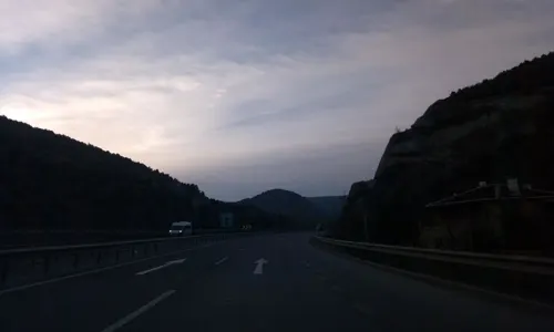
Restaurants and cafes3
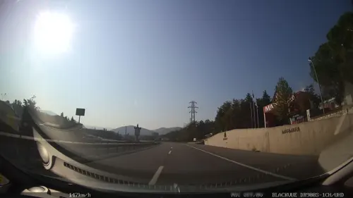

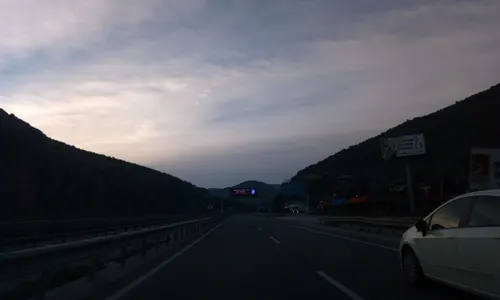


Where to stay1

History
The town is very near to Söğüt where the Ottoman Empire was founded, but earliest reliable documents about the town go back to the 17th century. According to these documents, the settlement was a part of Köprülü Mehmet Pasha’s (an Ottoman Grand Vizier) possessions in 1661. The Pasha commissioned a complex in the town (Turkish: külliye) which constituted a caravansarai, a mosque, a hamam (bathhouse), a drinking water well and a bridge over the river. These were dedicated to travellers from Istanbul to Central Anatolia. There was also a church, a sign of Greek presence. But during the compulsory population exchange between Greece and Turkey (Turkish: mübadele) in 1920s, they left the town.
From the History section of Vezirhan on Wikipedia, under CC BY-SA 4.0.
Churches and places of worship1
Gas and EV charging3
Healthcare1
Map of Vezirhan
11 places. The map loads OpenStreetMap tiles when you open it.
Getting there and nearby towns
Bursa Yenişehir Airport (YEI) is the nearest airport with scheduled flights listed in OpenStreetMap, 39 km away.
- Bilecik 12 km south, about 12 min by car
- İznik 33 km northwest, about 33 min by car
- Pamukova 32 km northeast, about 32 min by car
- Geyve 37 km northeast, about 37 min by car
- İnegol 47 km southwest, about 47 min by car
- Sapanca 54 km northeast, about 54 min by car
- Gölcük 55 km north, about 55 min by car
- İzmit 58 km north, about 58 min by car
- Derince 60 km north, about 1 h by car
- Eskişehir 67 km southeast, about 1 h by car
Drive times are estimates from straight-line distance, not routes.
Local news
Headlines from INDB.
Reviews, tips and questions
Loading what members have shared...
Sources and licences
- GeoNames (CC BY 4.0): population, coordinates, regions and time zone
- Mapillary (see each image): photos
- OpenStreetMap contributors (ODbL 1.0): places, airports, map data
- Wikidata (CC0 1.0): elevation, founding date, time zone, website
- Wikimedia Commons (see each image): photos
- Wikipedia (CC BY-SA 4.0): overview and history text
Photo credits
- 11130 Vezirhan-Bilecik Merkez-Bilecik, Turkey - panoramio (3), MERMERCİ ÖZGÜR1, CC BY 3.0
- 11130 Vezirhan-Bilecik Merkez-Bilecik, Turkey - panoramio (6), MERMERCİ ÖZGÜR1, CC BY 3.0
- 11130 Vezirhan-Bilecik Merkez-Bilecik, Turkey - panoramio (7), MERMERCİ ÖZGÜR1, CC BY 3.0
- 11130 Vezirhan-Bilecik Merkez-Bilecik, Turkey - panoramio (8), MERMERCİ ÖZGÜR1, CC BY 3.0
- 11130 Vezirhan-Bilecik Merkez-Bilecik, Turkey - panoramio (1), MERMERCİ ÖZGÜR1, CC BY 3.0
- Vezirhan 1724, Dosseman, CC BY-SA 4.0
- Dinlenme Tesisi... - panoramio, Sinan Şahin, CC BY 3.0
- Şelale ve Dağlar... - panoramio, Sinan Şahin, CC BY 3.0
- YENİ ACILAN OCAK YOL ÜSTÜ - panoramio, MERMERCİ ÖZGÜR1, CC BY 3.0
- YOL ÜSTÜ ACIK BEJ OCAĞI - panoramio, MERMERCİ ÖZGÜR1, CC BY 3.0
- PRODEM ALTI İNCELEMELERİ - panoramio, MERMERCİ ÖZGÜR1, CC BY 3.0
- TARLALARIN ÜSTÜ - panoramio, MERMERCİ ÖZGÜR1, CC BY 3.0
- Street-level photo, azadezey, CC BY-SA 4.0
- Street-level photo, erdoganksgn, CC BY-SA 4.0
- Street-level photo, erdoganksgn, CC BY-SA 4.0


Page built November 8, 2026. Spotted a mistake? Tell us or suggest a place.