


Why visit Yakuplu
Townapedia lists 7 museums and landmarks, 16 parks and trails, 59 places to eat, 7 places to stay and 4 attractions in and around town.
Highlights include Tiyatro Çocuk, Cyprus Monument and Haramidere Bridge.
Weather in Yakuplu
Forecast from MET Norway (CC BY 4.0). Full forecast
Things to do4

Beylikdüzü Fatih Sultan Mehmet Kültür Sanat Merkezi Rasim Öztekin Sahnesi
Cinema and theater
44. Sokak, İstanbul

Museums and landmarks7

Cyprus Monument
Monument and historic site · 3.9 km
Monument in İstanbul, Turkey

Beylikdüzü Fatih Sultan Mehmet Kültür Sanat Merkezi
Museum
44. Sokak, İstanbul

Parks, trails and playgrounds16

4 more on the map.
Restaurants and cafes59

Hot Wings Haydar
Restaurant · Barbecue, Chicken, Kebab, Turkish · 2.4 km
D-100 Güney Yanyolu
Mo-Su 11:30-00:30

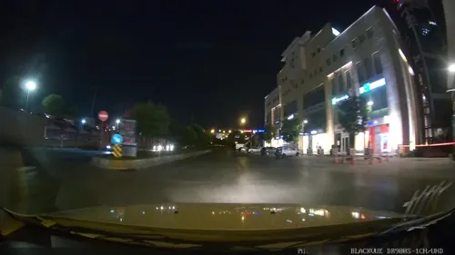
Luuq Coffee Beylikdüzü Migros Avm
Cafe · Coffee Shop, Dessert · 2.4 km
1/H Sakarya Caddesi, İstanbul
Mo-Su 08:00-02:00
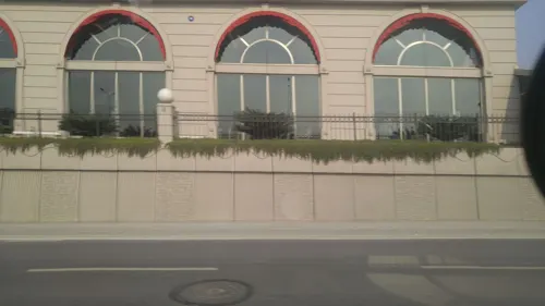
Dodo Belgium Waffle & Coffee
Cafe · Waffle, Coffee Shop, Dessert · 2.5 km
16-20 A Orhangazi Caddesi, istanbul
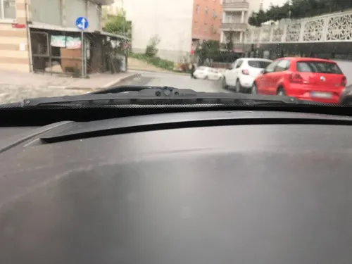
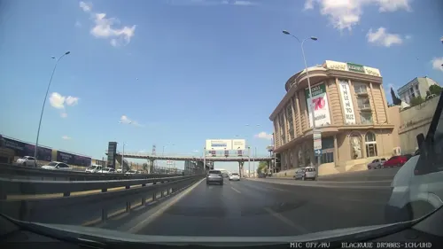
Paçacı Yaşar
Restaurant · Turkish, Kebab, Steak House, Soup · 2.1 km
30 68. Sokak, İstanbul


Midyeci Ferhat Midye-Kokoreç
Restaurant · Turkish · 2.0 km
29A 64. Sokak, İstanbul
47 more on the map.
Where to stay7
Churches and places of worship17
Ada Hz. Ebubekir Camii
Place of worship · Sunni · 0.7 km
Karanfil Sokak, İstanbul
Shopping45
Gas and EV charging9
Schools, colleges and libraries31
Healthcare60
Aleyna Çakırgöz Eczanesi
Clinic and pharmacy · 1.4 km
319/4D/12 Kocatepe Caddesi, İstanbul
Map of Yakuplu
250 places. The map loads OpenStreetMap tiles when you open it.
Getting there and nearby towns
Istanbul Atatürk Airport (ISL) is the nearest airport with scheduled flights listed in OpenStreetMap, 12 km away.
- Beylikdüzü 3 km west, about 3 min by car
- Küçükçekmece 8 km east, about 8 min by car
- Bahçelievler 16 km east, about 16 min by car
- Bağcılar 16 km east, about 16 min by car
- Esenler 18 km east, about 18 min by car
- Istanbul 23 km east, about 23 min by car
- Fatih 23 km east, about 23 min by car
- Arnavutköy 22 km north, about 22 min by car
- Üsküdar 29 km east, about 29 min by car
- Ümraniye 38 km east, about 38 min by car
Drive times are estimates from straight-line distance, not routes.
Local news
Headlines from INDB.
Reviews, tips and questions
Loading what members have shared...
Sources and licences
- GeoNames (CC BY 4.0): population, coordinates, regions and time zone
- Mapillary (see each image): photos
- OpenStreetMap contributors (ODbL 1.0): places, airports, map data
- Wikidata (CC0 1.0): elevation, founding date, time zone, website, landmarks and historic places
- Wikimedia Commons (see each image): photos
Photo credits
- Cyprus Monument, Maurice Flesier, CC BY-SA 4.0
- Haramidere Bridge Istanbul, İbrdznl, Public domain
- Ksg - panoramio, woha61, CC BY 3.0
- Ambarli City - panoramio, ---=XEON=---, CC BY 3.0
- Haramidere Sarnıcı 2022-11-27 14.14.53 1791994275, Canercangul, CC BY-SA 4.0
- Otoport Önü... - panoramio, Sinan Şahin, CC BY 3.0
- Sunset at Haramidere Metrobus Station, Sezenkerem, CC BY-SA 3.0
- Ambarli - panoramio, ---=XEON=---, CC BY 3.0
- Saadetdere metrobus station, Hamdigumus, CC BY-SA 4.0
- Abdullahi Mohamoud Ali, QalasQalas, CC BY 4.0
- Abdullahi Mohamoud Ali 3, QalasQalas, CC BY 4.0
- Abdihafid Hashi Mohamed, QalasQalas, CC BY 4.0
- Abdihafid Hashi Mohamed 2, QalasQalas, CC BY 4.0
- Abdullahi Mohamoud Ali 2, QalasQalas, CC BY 4.0
- Abdihafid Hashi Mohamed 3, QalasQalas, CC BY 4.0
- TORİUM AVM - panoramio, by rock, CC BY 3.0
- Abdullahi Mohamoud Ali (Xiddig), QalasQalas, CC BY 4.0
- Torium Mall 2, QalasQalas, CC BY 4.0
- Torium Mall, QalasQalas, CC BY 4.0
- Coffy, Torium Mall, QalasQalas, CC BY 4.0
- KARPARK TORİUM AVM - panoramio, by rock, CC BY 3.0
- İnka Bütünlük Ütopyası, QalasQalas, CC BY 4.0
- ESENYURT 66.sokak - panoramio, aslanali, CC BY 3.0
- 66.sokak Esenyurt - panoramio, aslanali, CC BY 3.0
- TORİUM AVM - panoramio (1), by rock, CC BY 3.0
- Edris sorouri, Edris sorouri, CC BY-SA 4.0
- Istanbul (49), Mostafameraji, CC BY 3.0
- Istanbul (49) (cropped), Mostafameraji, CC BY 3.0
- Cars and Streets of Istanbul, Turkey 49 (cropped), Mostafameraji, CC BY-SA 4.0
- Cars and Streets of Istanbul, Turkey 49, Mostafameraji, CC BY-SA 4.0
- Cars and Streets of Istanbul, Turkey 50, Mostafameraji, CC BY-SA 4.0
- ISS056-E-185261 - View of Earth, Earth Science and Remote Sensing Unit, NASA Johnson Space Center, Public domain
- ISS056-E-184707 - View of Earth, Earth Science and Remote Sensing Unit, NASA Johnson Space Center, Public domain
- ISS056-E-185260 - View of Earth, Earth Science and Remote Sensing Unit, NASA Johnson Space Center, Public domain
- Beylikduzu SKYPORT Residence - panoramio, buzkozan, CC BY 3.0
- ÖZ-ERDE J BLOK - panoramio, OZCAN ENGİN, CC BY 3.0
- Beylikdüzü Saatli Bina İş Merkezi, Açelya Caddesi - panoramio, buzkozan, CC BY 3.0
- Beylikduzu 5M MIGROS - panoramio, buzkozan, CC BY 3.0
- Street-level photo, lutfullah, CC BY-SA 4.0
- Street-level photo, volkan, CC BY-SA 4.0
- Street-level photo, ozkanilyasaksu, CC BY-SA 4.0
- Street-level photo, ozkanilyasaksu, CC BY-SA 4.0
- Street-level photo, ozkanilyasaksu, CC BY-SA 4.0
- Street-level photo, ahmetegri, CC BY-SA 4.0
- Street-level photo, yeliz, CC BY-SA 4.0
- Street-level photo, yeliz, CC BY-SA 4.0
- Street-level photo, yeliz, CC BY-SA 4.0
- Street-level photo, ozkanilyasaksu, CC BY-SA 4.0
- Street-level photo, yeliz, CC BY-SA 4.0
- Street-level photo, yeliz, CC BY-SA 4.0
- Street-level photo, yeliz, CC BY-SA 4.0


Page built November 8, 2026. Spotted a mistake? Tell us or suggest a place.