


Why visit Zekeriya
Townapedia lists 13 museums and landmarks, 10 parks and trails, 24 places to eat, 1 place to stay and 14 attractions in and around town.
Highlights include Argyronion and Chalcaea.
Weather in Zekeriya
Forecast from MET Norway (CC BY 4.0). Full forecast
About Zekeriya
Zekeriyaköy is an area of Sarıyer district in the European side of Istanbul. It is an upscale area in the hills to the north of downtown Istanbul. It is near the Black Sea coast and the Belgrad Forest.
From the Wikipedia article Zekeriyaköy, Istanbul (this version), under CC BY-SA 4.0.
Things to do14


2 more on the map.
Museums and landmarks13

Argyronion
Monument and historic site · 5.3 km
Ancient city of Bithynia in modern-day Turkey
Chalcaea
Monument and historic site · 4.3 km
Ancient city of Thrace in modern-day Turkey
Daphne Mainomene
Monument and historic site · 6.4 km
Ancient city of Bithynia, in modern-day Turkey

Joshua's Hill
Monument and historic site · 6.1 km
Prominence in northeast Istanbul
Kalos Agros
Monument and historic site · 4.8 km
Ancient city of Thrace in modern-day Turkey

Maslak Pavilion
Museum · 1.8 km
Maslak Pavilion is a former imperial Ottoman pavilion located in Istanbul, Turkey. It was constructed during the reign of Sultan...
Phosphorus
Monument and historic site · 4.7 km
Ancient city of Thrace in modern-day Turkey

1 more on the map.
Parks, trails and playgrounds10


Restaurants and cafes24
Brio İtalian İstanbul
Restaurant · Italian, Pizza, European · 3.0 km
322 Kilyos Caddesi, İstanbul
Mo-Su 12:00-24:00





12 more on the map.
Where to stay1
Churches and places of worship11
Shopping11
Gas and EV charging2
Schools, colleges and libraries9
Healthcare19
Köy Eczanesi
Clinic and pharmacy · 0.6 km
6B/12-13 Profesör Doktor Oktay Sinanoğlu Caddesi, İstanbul
Şifa Suyu Eczanesi
Clinic and pharmacy · 3.0 km
2/B Şifa Yolu Üstü Sokağı, İstanbul
Map of Zekeriya
114 places. The map loads OpenStreetMap tiles when you open it.
Getting there and nearby towns
Istanbul Airport (IST) is the nearest airport with scheduled flights listed in OpenStreetMap, 25 km away.
- Üsküdar 20 km south, about 20 min by car
- Istanbul 22 km south, about 22 min by car
- Fatih 21 km south, about 21 min by car
- Esenler 21 km southwest, about 21 min by car
- Ümraniye 22 km south, about 22 min by car
- Bağcılar 23 km southwest, about 23 min by car
- Arnavutköy 24 km west, about 24 min by car
- Bahçelievler 26 km southwest, about 26 min by car
- Sancaktepe 28 km southeast, about 28 min by car
- Küçükçekmece 32 km southwest, about 32 min by car
Drive times are estimates from straight-line distance, not routes.
Local news
Headlines from INDB.
Reviews, tips and questions
Loading what members have shared...
Sources and licences
- GeoNames (CC BY 4.0): population, coordinates, regions and time zone
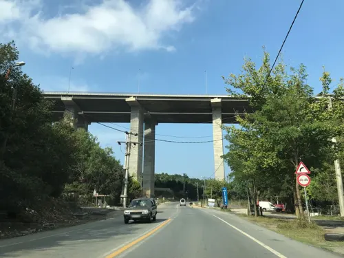
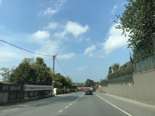
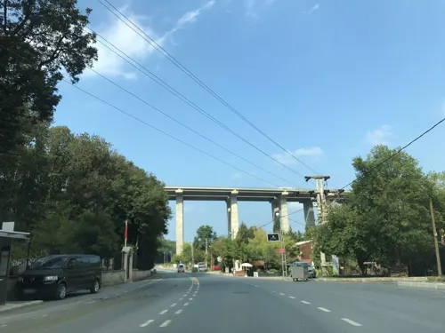
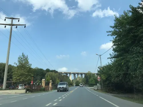
- Mapillary (see each image): photos
- OpenStreetMap contributors (ODbL 1.0): places, airports, map data
- Wikidata (CC0 1.0): elevation, founding date, time zone, website, landmarks and historic places
- Wikimedia Commons (see each image): photos
- Wikipedia (CC BY-SA 4.0): overview and history text
Photo credits
- Ayşe Hanım Çeşmesi, Zekeriyaköy IMG 0415, Ali Osman Dilekoğlu, CC BY-SA 4.0
- Ayşe Hanım Çeşmesi, Zekeriyaköy IMG 0405, Ali Osman Dilekoğlu, CC BY-SA 4.0
- Ayşe Hanım Çeşmesi, Zekeriyaköy IMG 0408, Ali Osman Dilekoğlu, CC BY-SA 4.0
- Zekeriyaköy GİS trafo merkezi - panoramio, Allen Turner, CC BY-SA 3.0
- Zekeriyaköy yolları - panoramio, Allen Turner, CC BY-SA 3.0
- Maslak Kasrı, KalafatElif, CC BY-SA 4.0
- Sadberkhanımmüzesi1, Berfu at Turkish Wikipedia, CC BY-SA 3.0
- Surp Hripsimyants Kilisesi, Özgür Arda BAYRAM, CC BY-SA 3.0
- KoçUniversity2, Jorge1767, Public domain
- Zekeriyaköy Cami 2024-02-24 17.44.16 1791374216, Ali Osman Dilekoğlu, CC BY-SA 4.0
- Могила святого Юши, Юрочкин Роман, CC BY-SA 4.0
- Emetullah Hatun Çeşmesi (Sarıyer) Kitabe, Ali Osman Dilekoğlu, CC BY-SA 4.0
- Emetullah Hatun Çeşmesi (Sarıyer), Ali Osman Dilekoğlu, CC BY-SA 4.0
- Kirazlıbahçe Çeşmeleri 2, Ali Osman Dilekoğlu, CC BY-SA 4.0
- Kirazlıbahçe Çeşmeleri, Ali Osman Dilekoğlu, CC BY-SA 4.0
- A wedding in the forest, Ratib rajab, CC BY-SA 4.0
- 2×380 KV - panoramio, Allen Turner, CC BY-SA 3.0
- İmam Hasan Efendi Çeşmesi IMG 0375, Ali Osman Dilekoğlu, CC BY-SA 4.0
- ISS044-E-59354 - View of Earth, Earth Science and Remote Sensing Unit , Lyndon B. Johnson Space Center, Public domain
- ISS044-E-59353 - View of Earth, Earth Science and Remote Sensing Unit , Lyndon B. Johnson Space Center, Public domain
- ISS065-E-30813 - View of Earth, Earth Science and Remote Sensing Unit , Lyndon B. Johnson Space Center, Public domain
- ISS065-E-30814 - View of Earth, Earth Science and Remote Sensing Unit , Lyndon B. Johnson Space Center, Public domain
- ISS044-E-59352 - View of Earth, Earth Science and Remote Sensing Unit , Lyndon B. Johnson Space Center, Public domain
- Necip Ağa Çeşmesi IMG 0364, Ali Osman Dilekoğlu, CC BY-SA 4.0
- Necip Ağa Çeşmesi IMG 0360, Ali Osman Dilekoğlu, CC BY-SA 4.0
- Mehmetopolis (41588955750), Cristian Iohan Ştefănescu from Buharest, Romania, CC BY 2.0
- Köç Üni - panoramio, Allen Turner, CC BY-SA 3.0
- Koc University - 0339, Meisam, CC BY-SA 4.0
- World of its own, Anas Abdeen, CC BY-SA 4.0
- Long greens, Anas Abdeen, CC BY-SA 4.0
- Valid bant, Hatemnsf, CC BY-SA 4.0
- Bridge3Istanbul, Elgaard, CC BY-SA 3.0
- Street-level photo, ferahkoksal, CC BY-SA 4.0
- Street-level photo, ferahkoksal, CC BY-SA 4.0
- Street-level photo, Eray_ozturk, CC BY-SA 4.0
- Street-level photo, ferahkoksal, CC BY-SA 4.0
- Street-level photo, ferahkoksal, CC BY-SA 4.0
- Street-level photo, ferahkoksal, CC BY-SA 4.0
- Street-level photo, ferahkoksal, CC BY-SA 4.0
- Street-level photo, ferahkoksal, CC BY-SA 4.0
- Street-level photo, ozkanilyasaksu, CC BY-SA 4.0
- Street-level photo, ferahkoksal, CC BY-SA 4.0
- Street-level photo, ferahkoksal, CC BY-SA 4.0
- Street-level photo, ferahkoksal, CC BY-SA 4.0


Page built November 8, 2026. Spotted a mistake? Tell us or suggest a place.