


Why visit Kiratu
Townapedia lists 3 museums and landmarks, 1 park or trail, 8 places to eat and 21 places to stay in and around town.
Weather in Kiratu
Forecast from MET Norway (CC BY 4.0). Full forecast
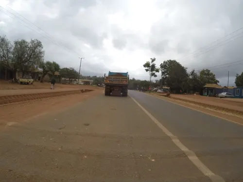
Photos of Kiratu


Museums and landmarks3

Parks, trails and playgrounds1
Restaurants and cafes8
Lilac Cafe
Cafe · African, Sandwich, Grill, Cake, Coffee Shop, Noodles, Pasta, Pancake, Pizza, Fish And Chips, Diner, Chicken, Curry, Breakfast, Tea, Seafood, Sausage, Caribbean, American, Fine Dining · 1.6 km
Karatu

Where to stay21
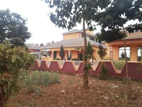


9 more on the map.
Churches and places of worship2
Shopping1
Gas and EV charging3
Schools, colleges and libraries7
Healthcare3
Map of Kiratu
49 places. The map loads OpenStreetMap tiles when you open it.
Getting there and nearby towns
Lake Manyara Airport (LKY) is the nearest airport with scheduled flights listed in OpenStreetMap, 17 km away.
- Mto wa Mbu 20 km east, about 20 min by car
- Ngorongoro 22 km northwest, about 22 min by car
- Makuyuni 54 km southeast, about 54 min by car
- Mbulu 59 km south, about 59 min by car
- Magugu 77 km south, about 1 h 15 min by car
- Dongobesh 87 km south, about 1 h 30 min by car
- Monduli 87 km east, about 1 h 30 min by car
Drive times are estimates from straight-line distance, not routes.
Towns near Kiratu


Keep exploring
Local news
Headlines from INDB.
Reviews, tips and questions
Loading what members have shared...
Sources and licences
- GeoNames (CC BY 4.0): population, coordinates, regions and time zone
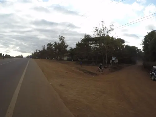
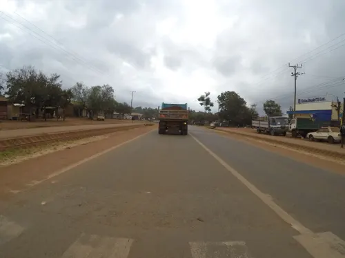
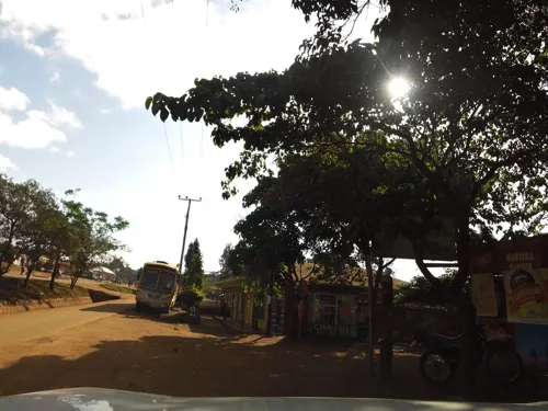
- Mapillary (see each image): photos
- OpenStreetMap contributors (ODbL 1.0): places, airports, map data
- Wikidata (CC0 1.0): elevation, founding date, time zone, website
- Wikimedia Commons (see each image): photos
Photo credits
- Scenes around Karatu, Tanzania - panoramio (1), Michelle Maria, CC BY 3.0
- Grey Crowned Crane Balearica regulorum Tanzania 4315 Nevit, Nevit Dilmen ( talk ), CC BY-SA 3.0
- Grey Crowned Crane Balearica regulorum Tanzania 4313 Nevit, Nevit Dilmen ( talk ), CC BY-SA 3.0
- Scenes around Karatu, Tanzania - panoramio (21), Michelle Maria, CC BY 3.0
- Lesser Flamingo Phoeniconaias minor in Tanzania 4316 Nevit, Nevit Dilmen ( talk ), CC BY-SA 3.0
- Tanzania 2007-08-16 (1526129902), Guillaume Baviere from Uppsala, Sweden, CC BY 2.0
- Tanzania 2007-08-16 (1526143982), Guillaume Baviere from Uppsala, Sweden, CC BY 2.0
- Scenes around Karatu, Tanzania - panoramio (20), Michelle Maria, CC BY 3.0
- Fruit Stand in Karatu, Tanzania - panoramio, Michelle Maria, CC BY 3.0
- Scenes around Karatu, Tanzania - panoramio (44), Michelle Maria, CC BY 3.0
- Scenes around Karatu, Tanzania - panoramio (9), Michelle Maria, CC BY 3.0
- Scenes around Karatu, Tanzania - panoramio (50), Michelle Maria, CC BY 3.0
- Atelerix albiventris 316800096, Jason Graham, CC0
- Wildebeest Connochaetes taurinus in Tanzania 4320 Nevit, Nevit Dilmen ( talk ), CC BY-SA 3.0
- Street-level photo, ebel, CC BY-SA 4.0
- Street-level photo, rkiselev, CC BY-SA 4.0
- Street-level photo, rkiselev, CC BY-SA 4.0
- Street-level photo, rkiselev, CC BY-SA 4.0
- Street-level photo, rkiselev, CC BY-SA 4.0
- Street-level photo, rkiselev, CC BY-SA 4.0
- Street-level photo, rkiselev, CC BY-SA 4.0
- Street-level photo, stonor, CC BY-SA 4.0
- Street-level photo, rkiselev, CC BY-SA 4.0
- Street-level photo, ebel, CC BY-SA 4.0
- Street-level photo, stonor, CC BY-SA 4.0
- Street-level photo, rkiselev, CC BY-SA 4.0
- Street-level photo, stonor, CC BY-SA 4.0
- Street-level photo, stonor, CC BY-SA 4.0


Page built November 10, 2026. Spotted a mistake? Tell us or suggest a place.