


Makuyuni, Tanzania
Makuyuni (Monduli)
Makuyuni is a town of 20,000 people in Arusha, Tanzania.
Why visit Makuyuni
Townapedia lists 1 museum or landmark, 3 parks and trails, 1 place to eat and 2 places to stay in and around town.
Highlights include Lake Manyara Biosphere Reserve.
Weather in Makuyuni
Forecast from MET Norway (CC BY 4.0). Full forecast
About Makuyuni
Makuyuni is an administrative ward in the Monduli district of the Arusha Region of Tanzania. In 2016 the Tanzania National Bureau of Statistics report there were 12,529 people in the ward, from 11,228 in 2012.
From the Wikipedia article Makuyuni, Monduli (this version), under CC BY-SA 4.0.
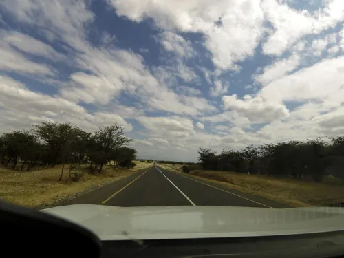
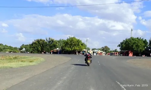
Photos of Makuyuni


Museums and landmarks1
Parks, trails and playgrounds3

Lake Manyara Biosphere Reserve
Park · 12.4 km
UNESCO biosphere reserve in Tanzania

Restaurants and cafes1

Where to stay2
Gas and EV charging2
Schools, colleges and libraries10
Healthcare6
Map of Makuyuni
25 places. The map loads OpenStreetMap tiles when you open it.
Getting there and nearby towns
Lake Manyara Airport (LKY) is the nearest airport with scheduled flights listed in OpenStreetMap, 37 km away.
- Mto wa Mbu 36 km northwest, about 36 min by car
- Monduli 48 km northeast, about 48 min by car
- Kiratu 54 km northwest, about 54 min by car
- Magugu 64 km southwest, about 1 h by car
- Arusha 68 km east, about 1 h 15 min by car
- Mbulu 71 km southwest, about 1 h 15 min by car
- Ngorongoro 76 km northwest, about 1 h 15 min by car
- Babati 84 km southwest, about 1 h 30 min by car
- Galappo 84 km south, about 1 h 30 min by car
- Usa River 86 km east, about 1 h 30 min by car
Drive times are estimates from straight-line distance, not routes.
Towns near Makuyuni


Keep exploring
Local news
Headlines from INDB.
Reviews, tips and questions
Loading what members have shared...
Sources and licences
- GeoNames (CC BY 4.0): population, coordinates, regions and time zone
- Mapillary (see each image): photos
- OpenStreetMap contributors (ODbL 1.0): places, airports, map data
- Wikidata (CC0 1.0): elevation, founding date, time zone, website, landmarks and historic places
- Wikimedia Commons (see each image): photos
- Wikipedia (CC BY-SA 4.0): overview and history text
Photo credits
- Lake Manyara, Clem23, CC BY-SA 3.0
- ISS063-E-86445 - View of Earth, Earth Science and Remote Sensing Unit, NASA Johnson Space Center, Public domain
- ISS063-E-90096 - View of Earth, Earth Science and Remote Sensing Unit, NASA Johnson Space Center, Public domain
- ISS065-E-13734 - View of Earth, Earth Science and Remote Sensing Unit , Lyndon B. Johnson Space Center, Public domain
- ISS063-E-90098 - View of Earth, Earth Science and Remote Sensing Unit, NASA Johnson Space Center, Public domain
- ISS066-E-4919 - View of Earth, Earth Science and Remote Sensing Unit , Lyndon B. Johnson Space Center, Public domain
- ISS063-E-86444 - View of Earth, Earth Science and Remote Sensing Unit, NASA Johnson Space Center, Public domain
- ISS063-E-90097 - View of Earth, Earth Science and Remote Sensing Unit, NASA Johnson Space Center, Public domain
- ISS063-E-90099 - View of Earth, Earth Science and Remote Sensing Unit, NASA Johnson Space Center, Public domain
- ISS063-E-86440 - View of Earth, Earth Science and Remote Sensing Unit, NASA Johnson Space Center, Public domain
- ISS067-E-286258 - View of Earth, Earth Science and Remote Sensing Unit , Lyndon B. Johnson Space Center, Public domain
- ISS067-E-286257 - View of Earth, Earth Science and Remote Sensing Unit , Lyndon B. Johnson Space Center, Public domain
- ISS063-E-86442 - View of Earth, Earth Science and Remote Sensing Unit, NASA Johnson Space Center, Public domain
- ISS063-E-86443 - View of Earth, Earth Science and Remote Sensing Unit, NASA Johnson Space Center, Public domain
- ISS063-E-86441 - View of Earth, Earth Science and Remote Sensing Unit, NASA Johnson Space Center, Public domain
- Tanzania 2007-08-14 (1469810014), Guillaume Baviere from Uppsala, Sweden, CC BY 2.0
- Calendulauda africanoides 254897282, Laura Gaudette, CC BY 4.0
- Street-level photo, rkiselev, CC BY-SA 4.0
- Street-level photo, kobykarin, CC BY-SA 4.0
- Street-level photo, calista2019, CC BY-SA 4.0
- Street-level photo, stonor, CC BY-SA 4.0


Page built November 10, 2026. Spotted a mistake? Tell us or suggest a place.