
Thị Trấn Phố Ràng, Vietnam
Bảo Yên
Thị Trấn Phố Ràng is a town of 8,886 people in Lao Cai, Vietnam.
Why visit Thị Trấn Phố Ràng
Townapedia lists 2 places to eat and 3 places to stay in and around town.
Weather in Thị Trấn Phố Ràng
Forecast from MET Norway (CC BY 4.0). Full forecast
Restaurants and cafes2

Where to stay3

Shopping1
Healthcare1

History
The area has a long history. During the reign of the Later Lê dynasty, around 1516–1522, the area was associated with Đô thống sứ of Tuyên Quang and served as a base for the brothers Vũ Văn Uyên and Vũ Văn Mật.
On 11 January 1986, under Decision No. 03/HĐBT, Phố Ràng township was established from 1,092 hectares of natural area separated from Phố Ràng commune, later renamed Yên Sơn commune, and 783 hectares of natural area separated from Xuân Thượng commune.
On 16 June 2025, the Standing Committee of the National Assembly of Vietnam issued Resolution No. 1673/NQ-UBTVQH15 on the reorganization of commune-level administrative units in Lào Cai province in 2025. Under the resolution, the entire area and population of Phố Ràng township and the former communes of Yên Sơn, Lương Sơn, and Xuân Thượng in Bảo Yên district were consolidated to form a new commune named Bảo Yên.
From the History section of Bảo Yên on Wikipedia, under CC BY-SA 4.0.
Map of Thị Trấn Phố Ràng
7 places. The map loads OpenStreetMap tiles when you open it.
Getting there and nearby towns
- Thị Trấn Khánh Yên 28 km southwest, about 28 min by car
- Thị Trấn Phố Lu 31 km west, about 31 min by car
- Thị Trấn Việt Quang 39 km northeast, about 39 min by car
- Thị Trấn Vĩnh Tuy 43 km east, about 43 min by car
- Bắc Quang 49 km northeast, about 49 min by car
- Hekou 59 km northwest, about 59 min by car
- Lào Cai 59 km northwest, about 59 min by car
- Sa Pa 66 km west, about 1 h by car
- Yên Bái 72 km southeast, about 1 h 15 min by car
- Hà Giang 84 km northeast, about 1 h 30 min by car
Drive times are estimates from straight-line distance, not routes.
Local news
Headlines from INDB.
Reviews, tips and questions
Loading what members have shared...
Sources and licences
- GeoNames (CC BY 4.0): population, coordinates, regions and time zone
- Mapillary (see each image): photos
- OpenStreetMap contributors (ODbL 1.0): places, airports, map data
- Wikidata (CC0 1.0): elevation, founding date, time zone, website
- Wikipedia (CC BY-SA 4.0): overview and history text
Photo credits
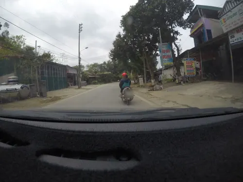
- Street-level photo, 24dakenlo, CC BY-SA 4.0
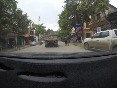
- Street-level photo, 24dakenlo, CC BY-SA 4.0
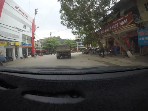
- Street-level photo, 24dakenlo, CC BY-SA 4.0
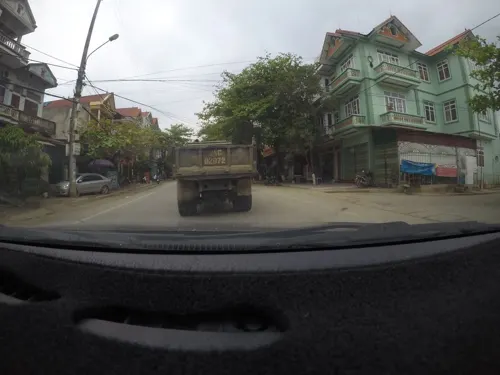
- Street-level photo, 24dakenlo, CC BY-SA 4.0
Page built November 8, 2026. Spotted a mistake? Tell us or suggest a place.