


Why visit Asseln
Townapedia lists 36 museums and landmarks, 8 parks and trails, 81 places to eat, 2 places to stay and 4 attractions in and around town.
Highlights include Fischers Hofladen, Haus Sölde, Magnet Museum and Buschei.
Weather in Asseln
Forecast from MET Norway (CC BY 4.0). Full forecast
Things to do4


Museums and landmarks36

Haus Sölde
Monument and historic site · 2.9 km
31 Ruthgerusstraße, Dortmund


Kriegerdenkmal in Wickede, Gefallene 1870-1871
Monument and historic site · 1.5 km
Gedenkstein Deportation jüdischer Bürger nach Ausschwitz
Monument and historic site · 3.0 km
Gedenkstein für den jüdischen Friedhof Wickede
Monument and historic site · 2.0 km
Gedenktafel für die Widerstandskämpfer Gähner, Mörchel und Weber
Monument and historic site · 2.9 km
24 more on the map.
Parks, trails and playgrounds8




Restaurants and cafes81
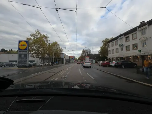
Net Viet
Restaurant · Vietnamese, Sushi · 2.7 km
Vietnamesische Cuisine & Sushi
167 Brackeler Hellweg, Dortmund
Tu-Su,PH 11:30-21:00

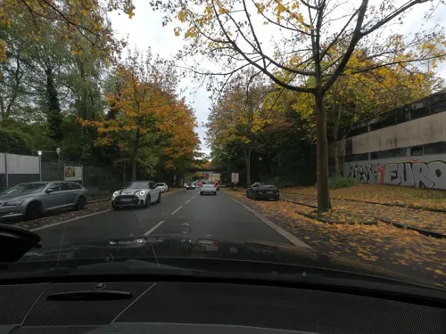
Grillhaus Zum Griechen
Restaurant · Greek · 2.1 km
128 Holzwickeder Straße, Dortmund
We,Th 12:00-21:00; Fr 12:00-22:00; Sa 12:00-22:00; Su,PH...
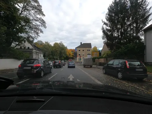
Italy To Go
Restaurant · Pizza · 2.1 km
229 Aplerbecker Straße, Dortmund
Mo-Fr 11:30-23:00; Sa,Su 12:30-23:00
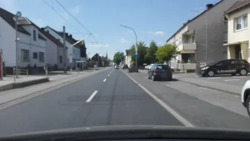
Kuhbar Eiscafé
Ice cream · Ice Cream · 0.6 km
188 Asselner Hellweg, Dortmund
Mo-Fr 13:00-18:00; PH,Sa,Su 12:00-18:00

Pizzeria Punto Alto
Restaurant · Pizza · 2.6 km
46 Flemerskamp, Dortmund
Tu-Th,Sa 13:00-21:00; Fr 16:00-21:00
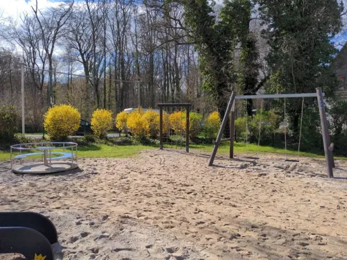
Zur Loheide
Restaurant · Regional · 2.9 km
245 Wickeder Straße, Dortmund
Mo,Th,Fr 15:00-22:00; Sa; Su 12:30-22:00

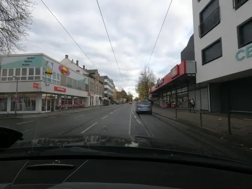
Bäcker Beckmann
Bakery · 2.7 km
67 Flemerskamp, Dortmund
Mo-Fr 05:30-15:00; Sa 06:00-13:00; Su 07:00-12:00
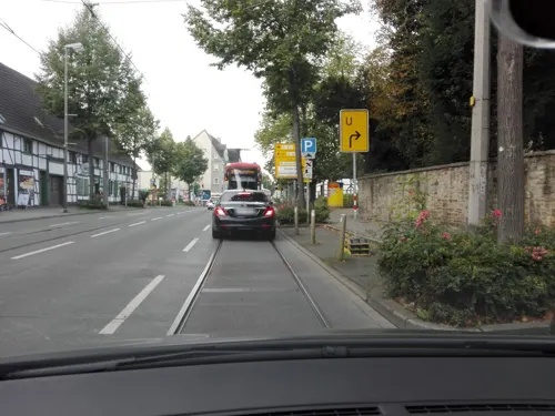
Bäckerei Beckmann
Bakery · 3.0 km
129 Brackeler Hellweg, Dortmund
Mo-Fr 06:00-17:00; Sa 06:00-13:00; Su 07:00-13:00
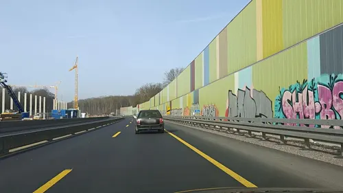
Fisch Gericht 2
Restaurant · Fish, Seafood · 2.9 km
Maritimer Genuss neu definiert
153 Brackeler Hellweg, Dortmund
Mo, We-Sa 12:00-21:00; Su 13:00-21:00


69 more on the map.
Where to stay2
Churches and places of worship17
Evangelische Friedhofskapelle
Church · Protestant · 2.0 km
11 Fränkischer Friedhof, Dortmund
Shopping24
Gas and EV charging10
Schools, colleges and libraries13
Katholische Hauptschule Husen
School · 3.1 km
270 Husener Eichwaldstraße, Dortmund
Healthcare10
Map of Asseln
205 places. The map loads OpenStreetMap tiles when you open it.
Getting there and nearby towns
Dortmund Airport (DTM) is the nearest airport with scheduled flights listed in OpenStreetMap, 2 km away.
- Wickede 2 km east, about 2 min by car
- Brackel 3 km west, about 3 min by car
- Sölde 3 km south, about 3 min by car
- Holzwickede 4 km southeast, about 4 min by car
- Sölderholz 5 km south, about 5 min by car
- Lanstrop 5 km north, about 5 min by car
- Unna 7 km east, about 7 min by car
- Derne 7 km northwest, about 7 min by car
- Dortmund 9 km west, about 9 min by car
- Kamen 9 km northeast, about 9 min by car
Drive times are estimates from straight-line distance, not routes.
Local news
Headlines from INDB.
Reviews, tips and questions
Loading what members have shared...
Sources and licences
- GeoNames (CC BY 4.0): population, coordinates, regions and time zone
- Mapillary (see each image): photos
- OpenStreetMap contributors (ODbL 1.0): places, airports, map data
- Wikidata (CC0 1.0): elevation, founding date, time zone, website, landmarks and historic places
- Wikimedia Commons (see each image): photos
Photo credits
- Lutherkirche Do-Asseln 2016-07-27, Dr. W. Strickling, CC BY-SA 4.0
- Bahnhof Dortmund Asseln-Mitte, F20052011, CC BY-SA 3.0
- Aplerbeck Kirche St Georg, Itti, CC BY-SA 3.0
- Asseln, die Lutherkirche foto2 2012-03-25 11.07, Michielverbeek, CC BY-SA 3.0
- St.-Elisabeth-Krankenhaus Kurl 006, Helfmann, CC BY-SA 4.0
- IKG Dortmund neu, Dr. Volker Schmidt, CC BY-SA 4.0
- Dortmund Haus Sölde 4, User:Stahlkocher, CC BY-SA 3.0
- Naturschutzgebiet Buschei 002, Tbachner, CC BY-SA 3.0
- Naturschutzgebiet Buschei 001, Tbachner, CC BY-SA 3.0
- Street-level photo, flugyflay, CC BY-SA 4.0
- Street-level photo, flugyflay, CC BY-SA 4.0
- Street-level photo, saschahaberkorn, CC BY-SA 4.0
- Street-level photo, saschahaberkorn, CC BY-SA 4.0
- Street-level photo, flugyflay, CC BY-SA 4.0
- Street-level photo, flugyflay, CC BY-SA 4.0
- Street-level photo, flugyflay, CC BY-SA 4.0
- Street-level photo, saschahaberkorn, CC BY-SA 4.0
- Street-level photo, saschahaberkorn, CC BY-SA 4.0
- Street-level photo, geogladbecker, CC BY-SA 4.0
- Street-level photo, saschahaberkorn, CC BY-SA 4.0
- Street-level photo, ribuman, CC BY-SA 4.0
- Street-level photo, flugyflay, CC BY-SA 4.0
- Street-level photo, flugyflay, CC BY-SA 4.0
- Street-level photo, flugyflay, CC BY-SA 4.0
- Street-level photo, saschahaberkorn, CC BY-SA 4.0
- Street-level photo, flugyflay, CC BY-SA 4.0
- Street-level photo, flugyflay, CC BY-SA 4.0
- Street-level photo, amenophis, CC BY-SA 4.0
- Street-level photo, cuspis, CC BY-SA 4.0
- Street-level photo, saschahaberkorn, CC BY-SA 4.0
- Street-level photo, flugyflay, CC BY-SA 4.0
- Street-level photo, flugyflay, CC BY-SA 4.0
- Street-level photo, flugyflay, CC BY-SA 4.0
- Street-level photo, flugyflay, CC BY-SA 4.0
- Street-level photo, flugyflay, CC BY-SA 4.0
- Street-level photo, saschahaberkorn, CC BY-SA 4.0
- Street-level photo, saschahaberkorn, CC BY-SA 4.0
- Street-level photo, flugyflay, CC BY-SA 4.0

Page built November 9, 2026. Spotted a mistake? Tell us or suggest a place.