


Why visit Derne
Townapedia lists 15 museums and landmarks, 10 parks and trails, 18 places to eat, 1 place to stay and 6 attractions in and around town.
Highlights include Hof Kuse, Hof Mertin, Auf dem Brink and Lanstroper See.
Weather in Derne
Forecast from MET Norway (CC BY 4.0). Full forecast
Things to do6

Hof Mertin
Farm and orchard · 2.4 km
5 Bönninghauser Straße, Dortmund
Mo-Fr 09:00-18:00; Sa, Su 09:00-17:00

Museums and landmarks15

Bücherei / Lesehalle der Harpener Bergbau AG
Monument and historic site · 2.0 km
24/7
Grab- und Ehrenmal für die Opfer des Grubenunglücks auf der Zeche Gneisenau
Monument and historic site · 1.9 km
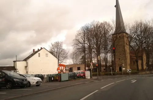
Grab- und Ehrenmal für die Opfer des Grubenunglücks auf der Zeche Minister Stein
Monument and historic site · 2.0 km
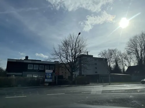
Kriegerdenkmal in Kirchderne, Gefallene 1870-1871
Monument and historic site · 1.9 km
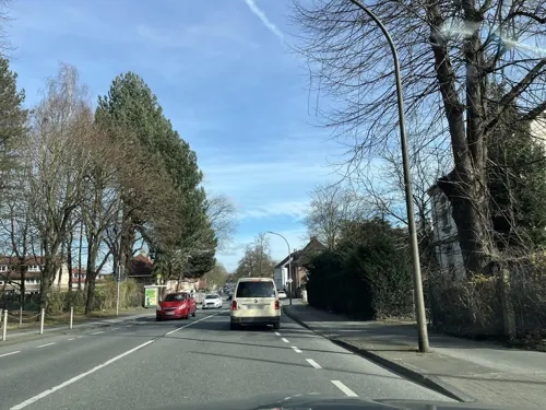
Kriegerdenkmal in Kirchderne, Gefallene 1914-1918
Monument and historic site · 1.8 km
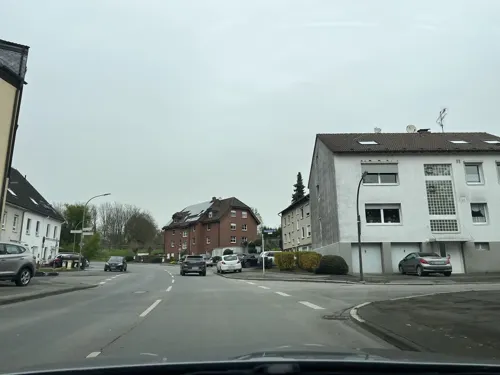
Kriegerdenkmal in Scharnhorst, Gefallene 1914-1918 und 1939-1945
Monument and historic site · 2.3 km
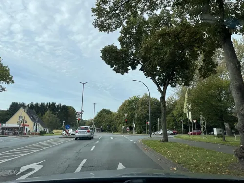
3 more on the map.
Parks, trails and playgrounds10


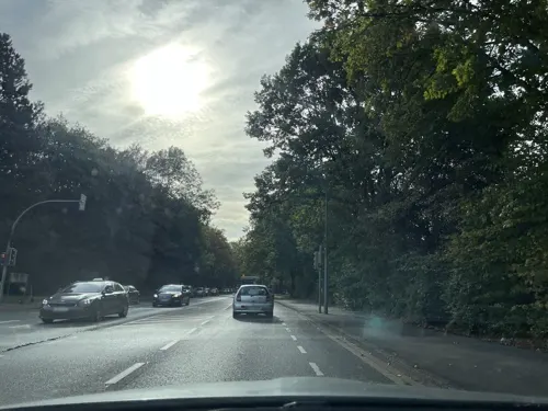
Abenteuerspielplatz Scharnhorst
Playground · 1.9 km
Mo-Fr 13:00-18:00


Restaurants and cafes18
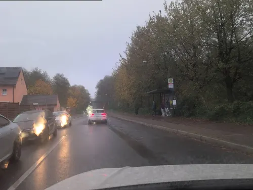
Dvin
Restaurant · Armenian · 2.4 km
166 Gahmener Straße, Lünen
Mo,Tu off; We-Th 15:00-23:00; Fr 15:00-24:00; Sa 12:00-24:00; Su...

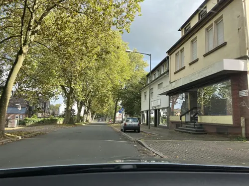
Hacı Baba
Fast food · Turkish, Pizza, Baguette, Burger · 2.3 km
64 Droote, Dortmund
Mo-Su, PH 10:00-23:30


6 more on the map.
Where to stay1
Churches and places of worship11
Ibadullah Camii - Türkisch Islamischer Kulturverein
Place of worship
63 Altenderner Straße, Dortmund
Iglesia Ni Cristo - Locale of Dortmund
Church · 0.9 km
31 Hostedder Straße, Dortmund
Shopping11
Gas and EV charging1
Schools, colleges and libraries10
Healthcare6
Map of Derne
89 places. The map loads OpenStreetMap tiles when you open it.
Getting there and nearby towns
Dortmund Airport (DTM) is the nearest airport with scheduled flights listed in OpenStreetMap, 9 km away.
- Lanstrop 3 km east, about 3 min by car
- Lünen 5 km north, about 5 min by car
- Brackel 5 km south, about 5 min by car
- Lindenhorst 5 km southwest, about 5 min by car
- Dortmund 7 km southwest, about 7 min by car
- Wickede 8 km southeast, about 8 min by car
- Bergkamen 10 km northeast, about 10 min by car
- Waltrop 10 km northwest, about 10 min by car
- Mengede 9 km west, about 9 min by car
- Kamen 10 km east, about 10 min by car
Drive times are estimates from straight-line distance, not routes.
Local news
Headlines from INDB.
Reviews, tips and questions
Loading what members have shared...
Sources and licences
- GeoNames (CC BY 4.0): population, coordinates, regions and time zone
- Mapillary (see each image): photos
- OpenStreetMap contributors (ODbL 1.0): places, airports, map data
- Wikidata (CC0 1.0): elevation, founding date, time zone, website
- Wikimedia Commons (see each image): photos
Photo credits
- Dortmund-Derne-2009-2-0054, user:Mbdortmund, GFDL 1.2
- Dortmund-Derne-2009-2-0057, user:Mbdortmund, GFDL 1.2
- Dortmund-Derne-2009-2-0059, user:Mbdortmund, GFDL 1.2
- Dortmund-Derne-2009-2-0056, user:Mbdortmund, GFDL 1.2
- Dortmund-Derne-2009-2-0060, user:Mbdortmund, GFDL 1.2
- Zeche-Gneisenau-Dortmund-Derne-000011, user:Mbdortmund, GFDL 1.2
- Zeche-Gneisenau-Dortmund-Derne-000127, user:Mbdortmund, GFDL 1.2
- Zeche-Gneisenau-Dortmund-Derne-000124, user:Mbdortmund, GFDL 1.2
- Zeche-Gneisenau-Dortmund-Derne-000123, user:Mbdortmund, GFDL 1.2
- Zeche-Gneisenau-Dortmund-Derne-000122, user:Mbdortmund, GFDL 1.2
- Zeche-Gneisenau-Dortmund-Derne-000118, user:Mbdortmund, GFDL 1.2
- Zeche-Gneisenau-Dortmund-Derne-000117, user:Mbdortmund, GFDL 1.2
- Dortmund-Derne-Arbeitersiedlung-0004, user:Mbdortmund, GFDL 1.2
- Dortmund-Derne-Arbeitersiedlung-0007, user:Mbdortmund, GFDL 1.2
- Dortmund-Derne-Arbeitersiedlung-0006, user:Mbdortmund, GFDL 1.2
- Dortmund-Derne-Arbeitersiedlung-0024, user:Mbdortmund, GFDL 1.2
- Dortmund-Scharnhorst, Ev. Kirche St. Dionysus Kirchderne, Tbachner, CC BY-SA 3.0
- Naturschutzgebiet Lanstroper See, BinaFalcon, CC BY-SA 3.0
- Naturschutzgebiet Auf dem Brink02, Helfmann, CC BY-SA 3.0
- Naturschutzgebiet Auf dem Brink01, Helfmann, CC BY-SA 3.0
- Naturschutzgebiet Sanderoth 002, Itti, CC BY-SA 3.0
- Lanstropersee, Kira Nerys, CC BY-SA 3.0
- Ev. Kirche St. Dionysus Kirchderne 52, Tbachner, CC BY-SA 3.0
- Naturschutzgebiet Sanderoth 006, Itti, CC BY-SA 3.0
- Muesersiedlung Mueserstrasse IMGP7695, Smial, CC BY-SA 2.0 de
- Zeche Gneisenau Thomson-Bock 02, Unukorno, CC BY 4.0
- Muesersiedlung Bogenstrasse IMGP7731, Smial, CC BY-SA 2.0 de
- Zeche Gneisenau in 2021, Unukorno, CC BY 4.0
- Zeche Gneisenau im Juni 2021, Unukorno, CC BY 4.0
- Street-level photo, m1map, CC BY-SA 4.0
- Street-level photo, ptks, CC BY-SA 4.0
- Street-level photo, poxonline, CC BY-SA 4.0
- Street-level photo, poxonline, CC BY-SA 4.0
- Street-level photo, ptks, CC BY-SA 4.0
- Street-level photo, m1map, CC BY-SA 4.0
- Street-level photo, poxonline, CC BY-SA 4.0
- Street-level photo, ptks, CC BY-SA 4.0
- Street-level photo, ptks, CC BY-SA 4.0
- Street-level photo, ptks, CC BY-SA 4.0
- Street-level photo, poxonline, CC BY-SA 4.0
- Street-level photo, ptks, CC BY-SA 4.0
- Street-level photo, ptks, CC BY-SA 4.0
- Street-level photo, ptks, CC BY-SA 4.0
- Street-level photo, mapchris, CC BY-SA 4.0
- Street-level photo, poxonline, CC BY-SA 4.0
- Street-level photo, ptks, CC BY-SA 4.0
- Street-level photo, ptks, CC BY-SA 4.0
- Street-level photo, miguel_andrade, CC BY-SA 4.0
- Street-level photo, ptks, CC BY-SA 4.0
- Street-level photo, poxonline, CC BY-SA 4.0
- Street-level photo, m1map, CC BY-SA 4.0
- Street-level photo, ptks, CC BY-SA 4.0
- Street-level photo, ptks, CC BY-SA 4.0
- Street-level photo, donortheast, CC BY-SA 4.0
- Street-level photo, ptks, CC BY-SA 4.0
- Street-level photo, ptks, CC BY-SA 4.0
- Street-level photo, ptks, CC BY-SA 4.0


Page built November 9, 2026. Spotted a mistake? Tell us or suggest a place.