


Why visit Aulendorf
Townapedia lists 39 museums and landmarks, 17 parks and trails, 50 places to eat, 12 places to stay and 10 attractions in and around town.
Highlights include Hatzenturm, Atzenberger Höhe, Oberschwäbisches Museumsdorf Kürnbach and Schloss Aulendorf.
Weather in Aulendorf
Forecast from MET Norway (CC BY 4.0). Full forecast
About Aulendorf
Aulendorf (German pronunciation: [ˈaʊləndɔʁf] ) is a town in the district of Ravensburg, in Baden-Württemberg, Germany. It is situated 20 kilometres (12 miles) southwest of Biberach an der Riß, and 19 kilometres (12 miles) north of Ravensburg.
From the Wikipedia article Aulendorf (this version), under CC BY-SA 4.0.
Things to do10



Museums and landmarks39

Oberschwäbisches Museumsdorf Kürnbach
Museum · 5.4 km
Mar-Apr,Oct-Nov: 10:00-17:00; May-Sep: 10:00-18:00 "Führungen nach...

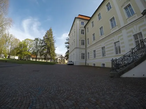
Schloss Aulendorf
Monument and historic site
Mo-Fr 08:00-12:00; We-Fr 13:00-18:00; Sa,Su,PH 10:00-14:00


27 more on the map.
Parks, trails and playgrounds17

Schwaben Therme
Sports field and stadium · 0.6 km
5 Ebisweilerstraße, Aulendorf
May-Aug: 09:30-21:00 open "Letzter Einlass 90 Minuten vor...





5 more on the map.
Restaurants and cafes50
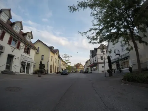
Schussenrieder Erlebnisbrauerei
Restaurant · Regional · 6.1 km
Durchgehend warme Küche
12 Wilhelm-Schussen-Straße, Bad Schussenried
Tu-Su 11:00+; Mo,PH off
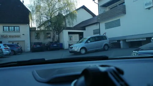

Jägerhäusle
Restaurant · Regional · 1.8 km
5, Aulendorf
We-Fr 11:00-24:00; Sa, Su 10:00-24:00; Mo 11:00-14:00
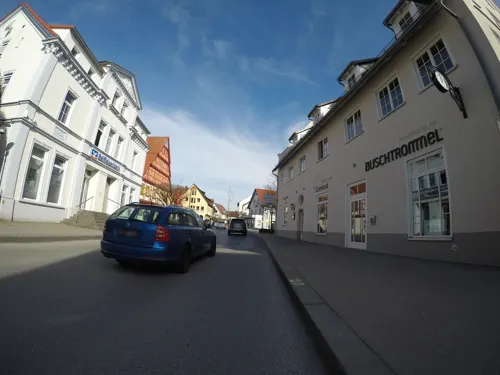
Klosterhof
Restaurant · Regional · 6.3 km
4 Klosterstraße, Bad Schussenried
We-Su 11:30-13:30,17:00-21:00; PH 11:00-14:00,17:00-21:00

Schlossgarten Café-Bar
Cafe · Coffee Shop, Regional
35 Hauptstraße, Aulendorf
Mo-Tu 14:30-00:00, Th-Fr 14:30-02:00, Su 13:30-19:00
Wirtshaus Schalander
Restaurant · German
32 Hauptstraße, Aulendorf
Mo-Sa 11:30-14:00, 17:00-24:00; Su 11:30-14:00, 17:00-22:00
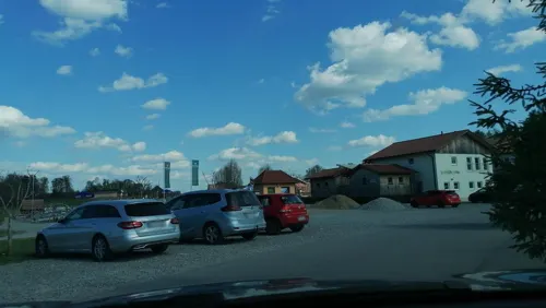

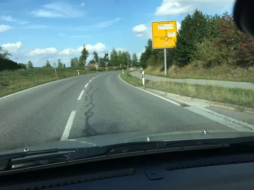
Dicke Hilde
Restaurant · Regional · 4.7 km
2 Ziegeleiweg, Bad Schussenried
Mo-Fr 16:00-23:00, Sa 16:00-24:00, Su 09:30-21:00, Oct-Jun: Tu off
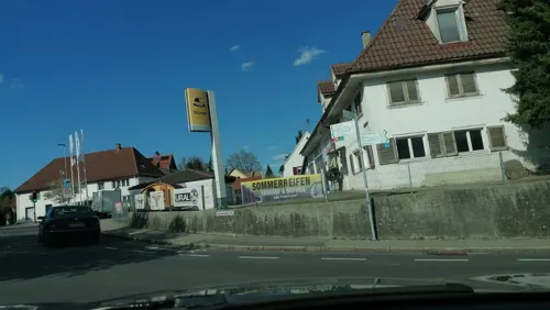
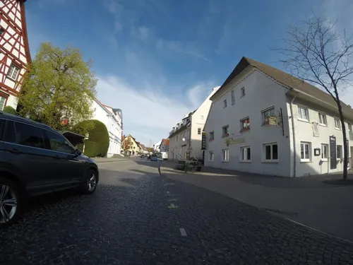


Pizza Paradies
Restaurant · Turkish, Pizza · 6.2 km
28 Wilhelm-Schussen-Straße, Bad Schussenried
PH,Mo-Su 11:00-21:30
38 more on the map.
Where to stay12
Churches and places of worship18
Marienkapelle Stuben
Church · Roman Catholic · 6.1 km
4 Aulendorfer Weg, Altshausen
Shopping12
Gas and EV charging1
Schools, colleges and libraries7
Drümmelbergschule Bad Schussenried
School · 6.1 km
2 Friedrich-Jahn-Straße, Bad Schussenried
Gymnasium, Real- und Werkrealschule
School · 0.7 km
25 Schussenrieder Straße, Aulendorf
Healthcare5
Map of Aulendorf
171 places. The map loads OpenStreetMap tiles when you open it.
Getting there and nearby towns
Friedrichshafen Airport (FDH) is the nearest airport with scheduled flights listed in OpenStreetMap, 32 km away.
- Bad Waldsee 9 km east, about 9 min by car
- Bad Saulgau 13 km northwest, about 13 min by car
- Weingarten 16 km south, about 16 min by car
- Ravensburg 19 km south, about 19 min by car
- Biberach an der Riß 20 km northeast, about 20 min by car
- Bad Wurzach 20 km east, about 20 min by car
- Mengen 25 km northwest, about 25 min by car
- Riedlingen 26 km northwest, about 26 min by car
- Meckenbeuren 28 km south, about 28 min by car
- Pfullendorf 28 km west, about 28 min by car
Drive times are estimates from straight-line distance, not routes.
Local news
Headlines from INDB.
Reviews, tips and questions
Loading what members have shared...
Sources and licences
- GeoNames (CC BY 4.0): population, coordinates, regions and time zone
- Mapillary (see each image): photos
- OpenStreetMap contributors (ODbL 1.0): places, airports, map data
- Wikidata (CC0 1.0): elevation, founding date, time zone, website, landmarks and historic places
- Wikimedia Commons (see each image): photos
- Wikipedia (CC BY-SA 4.0): overview and history text
Photo credits
- Wasserrad - Vogel Herrenmühle - Aulendorf, Reutlingendorf, CC BY-SA 4.0
- Aulendorf - Altstadt - Schloss - Schlosshof - Marienstatue, Kirchturm und Himmel (1), Roman Eisele, CC BY-SA 4.0
- Aulendorf - Altstadt - Schloss - Schlosshof - Marienstatue (1), Roman Eisele, CC BY-SA 4.0
- Aulendorf - Altstadt - Schloss - SO-Portal - Blick in den Hof (1), Roman Eisele, CC BY-SA 4.0
- Aulendorf - Altstadt - Schloss - SO-Portal - Blick in die Landschaft (1), Roman Eisele, CC BY-SA 4.0
- Pfarrkirche St. Martin Aulendorf 01, Helmlechner, CC0
- Kaugummiautomaten Irreal-Bar Aulendorf, Looniverse, CC BY-SA 4.0
- Kondomautomat Aulendorf Irreal-Bar, Looniverse, CC BY-SA 4.0
- Pfarrkirche St. Martin Aulendorf 02, Helmlechner, CC0
- Kneipp-Anlage Stadtpark Aulendorf, Dl1gkr, CC0
- 25.05.17 Aulendorf 612.021 (34885176531), Phil Richards from London, UK, CC BY-SA 2.0
- 28.05.17 Aulendorf 612.012 (34858865120), Phil Richards from London, UK, CC BY-SA 2.0
- 28.05.17 Aulendorf 650.745+650.746 (35116157441), Phil Richards from London, UK, CC BY-SA 2.0
- 28.05.17 Aulendorf 218.438 (34436972383), Phil Richards from London, UK, CC BY-SA 2.0
- Reichssilo Aulendorf II, Hohenzollernsche Lande, CC BY-SA 4.0
- Reichssilo Aulendorf III, Hohenzollernsche Lande, CC BY-SA 4.0
- Reichssilo Aulendorf I, Hohenzollernsche Lande, CC BY-SA 4.0
- AulendorfSchloss, Benutzer:Ssch, CC BY-SA 3.0
- Hatzenturm 1, Photo: Andreas Praefcke, CC BY 3.0
- Aulendorf Pfarrkirche Blick zum Chor, Photo: Andreas Praefcke, CC BY 3.0
- NSG 4.308 Brunnenholzried-Bannwald 2024-3, NorbertWLang, CC0
- D-BW-RV-Aulendorf - Haslacher Weiher 001, ANKAWÜ, CC BY-SA 4.0
- Otterswang Pfarrkirche außen1, Photo: Andreas Praefcke, CC BY 3.0
- Museumsdorf Kürnbach-0148, DKrieger, CC BY-SA 3.0
- St. Anna-Kapelle Bad Schussenried-Kürnbach-0048, DKrieger, CC BY-SA 3.0
- Aulendorf Evangelische Kirche, Photo: Andreas Praefcke, CC BY 3.0
- Aulendorf Pfarrkirche und Schloss, Photo: Andreas Praefcke, CC BY 3.0
- Das Strohdachhaus "Laternser" im Museumsdorf Kürnbach, Buchstapler, CC BY-SA 4.0
- Hofgarten - panoramio (1), Mathias Schwarz, CC BY-SA 3.0
- Moorbahn Infotafel, 5R-MFT, CC BY-SA 4.0
- Räuberbahn, 5R-MFT, CC BY-SA 4.0
- Bierkrugmuseum - panoramio, Richard Mayer, CC BY 3.0
- Street-level photo, ray66, CC BY-SA 4.0
- Street-level photo, mammi71, CC BY-SA 4.0
- Street-level photo, ray66, CC BY-SA 4.0
- Street-level photo, rausk, CC BY-SA 4.0
- Street-level photo, mammi71, CC BY-SA 4.0
- Street-level photo, ray66, CC BY-SA 4.0
- Street-level photo, mammi71, CC BY-SA 4.0
- Street-level photo, arturs, CC BY-SA 4.0
- Street-level photo, ray66, CC BY-SA 4.0
- Street-level photo, ray66, CC BY-SA 4.0
- Street-level photo, mammi71, CC BY-SA 4.0
- Street-level photo, mammi71, CC BY-SA 4.0
- Street-level photo, mammi71, CC BY-SA 4.0
- Street-level photo, mammi71, CC BY-SA 4.0
- Street-level photo, arturs, CC BY-SA 4.0
- Street-level photo, rausk, CC BY-SA 4.0
- Street-level photo, ray66, CC BY-SA 4.0


Page built November 8, 2026. Spotted a mistake? Tell us or suggest a place.