


Why visit Aulhausen
Townapedia lists 19 museums and landmarks, 5 parks and trails, 34 places to eat, 4 places to stay and 21 attractions in and around town.
Highlights include Hindenburg Bridge, Rossel, Burg Rheinstein and Niederwalddenkmal.
Weather in Aulhausen
Forecast from MET Norway (CC BY 4.0). Full forecast
About Aulhausen
Aulhausen is a village in Hesse, Germany. First mentioned in 1108 as Aulhausen im Rheingau, it has about 1,200 inhabitants (2018). This wine and air recreation town lies in a valley above Assmannshausen, and from 1970 to 1977 Aulhausen was a district in Assmannshausen. It is separated from Rüdesheim by Niederwald.
From the Wikipedia article Aulhausen (this version), under CC BY-SA 4.0.
Things to do21

Hindenburg Bridge
Bridge · 4.3 km
Former train bridge over the Rhine at Rüdesheim, Germany




9 more on the map.
Museums and landmarks19

Burg Rheinstein
Monument and historic site · 2.4 km
Romantik-Schloß Burg Rheinstein
Burg Rheinstein, Trechtingshausen


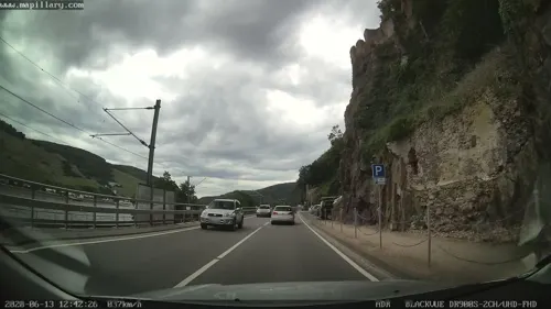

Historischer Töpferofen
Monument and historic site
Nachbau eines Brennofens, wie er seit dem Mittelalter bis zum Ende des 19. Jahrhunderts von den Töpfern des Ortes verwendet wurde.
Magic Hut
Monument and historic site · 1.7 km
Im Winter ist die Tür abgeschlossen. Ansonsten theoretisch als Schutzhütte nutzbar.
7 more on the map.
Parks, trails and playgrounds5



Restaurants and cafes34

Besucherzentrum auf dem Niederwald
Restaurant · 1.5 km
4 Am Niederwald, Rüdesheim am Rhein
Apr-Oct Th-Tu 11:00-18:00+


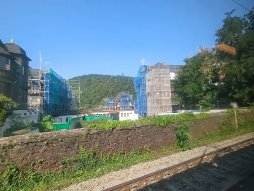
Hotel Restaurant Monte Somma
Restaurant · Italian, Pizza · 1.9 km
5 Lorcher Straße, Rüdesheim am Rhein
Fr,Sa,Su 11:00-23:00
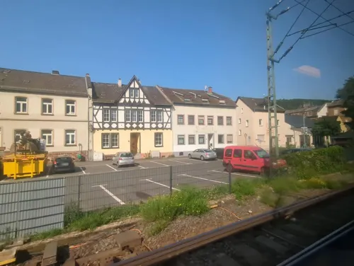
La Romantica
Restaurant · Pizza, Italian · 2.0 km
4 Am alten Bahnhof, Rüdesheim am Rhein
Mo,Tu 11:00-14:30,17:30-23:30; Th-Su 11:00-14:30,17:30-23:30
Restaurant "Zum Anker"
Restaurant · Regional · 2.0 km
7 Rheinuferstraße, Rüdesheim am Rhein
Mo-Fr 11:00-22:30; Sa,Su,PH 10:00+
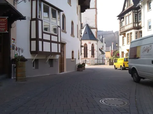
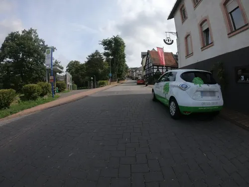
Gutsausschank Zum Schöne Michel
Restaurant
78 Hauptstraße, Rüdesheim am Rhein
Sa 17:00-23:00,Su 16:00-23:00; PH 16:00-23:00
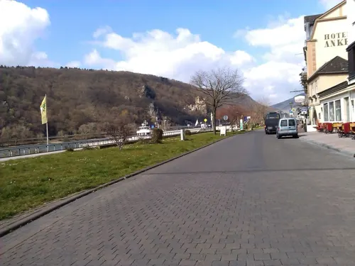
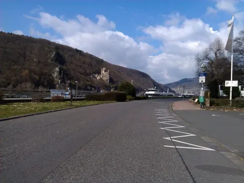
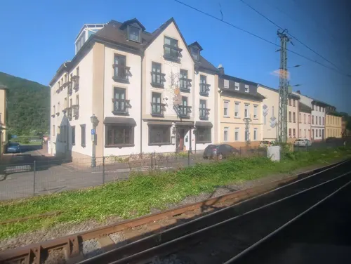


Rheinhotel Germania
Restaurant · Regional · 2.0 km
Durchgehend warme Küche
4 Bahnhofstraße, Rüdesheim am Rhein
22 more on the map.
Where to stay4
Churches and places of worship6
Heilig-Kreuz-Kirche
Church · Roman Catholic · 1.9 km
2 Lorcher Straße, Rüdesheim am Rhein
Schools, colleges and libraries2
Map of Aulhausen
91 places. The map loads OpenStreetMap tiles when you open it.
Getting there and nearby towns
Wiesbaden Army Airfield (WIE) is the nearest airport with scheduled flights listed in OpenStreetMap, 32 km away.
- Rüdesheim am Rhein 3 km southeast, about 3 min by car
- Bingen am Rhein 3 km south, about 3 min by car
- Geisenheim 6 km east, about 6 min by car
- Ingelheim am Rhein 12 km east, about 12 min by car
- Bad Kreuznach 17 km south, about 17 min by car
- Schlangenbad 19 km northeast, about 19 min by car
- Bad Schwalbach 21 km northeast, about 21 min by car
- Frauenstein 20 km northeast, about 20 min by car
- Wiesbaden 27 km east, about 27 min by car
- Mainz 28 km east, about 28 min by car
Drive times are estimates from straight-line distance, not routes.
Local news
Headlines from INDB.
Reviews, tips and questions
Loading what members have shared...
Sources and licences
- GeoNames (CC BY 4.0): population, coordinates, regions and time zone
- Mapillary (see each image): photos
- OpenStreetMap contributors (ODbL 1.0): places, airports, map data
- Wikidata (CC0 1.0): elevation, founding date, time zone, website, landmarks and historic places
- Wikimedia Commons (see each image): photos
- Wikipedia (CC BY-SA 4.0): overview and history text
Photo credits
- Aulhausen Friedhofskreuz, RichHein, CC BY 3.0
- Aulhausen, Kloster Marienhausen, RichHein, CC BY-SA 4.0
- Aulhausen St. Vincent-Stift Kirche, RichHein, CC BY 3.0
- Niederwalddenkmal label QS:Lit,"Niederwalddenkmal" label QS:Lfr,"Niederwalddenkmal" label QS:Lde,"Niederwalddenkmal" label QS:Lvi,"Đài tưởng niệm Niederwald" label QS:Lzh,"下瓦尔德纪念碑" label..., Johannes Schilling / Karl Weißbach, Public domain
- Brömserburg1, Peter Weller at German Wikipedia, CC BY-SA 3.0
- Burg Reichenstein Luftbild 01, MFSG, CC BY-SA 3.0
- Aulhausen Rheingau Kloster Marienhausen Marienkirche, Marion Halft, CC BY-SA 4.0
- St Hildegard Eibingen, Marion Halft, CC BY-SA 3.0
- RüdesheimRheinStJakobusSW, Brühl, Public domain
- Bingen Rhein Rochuskapelle 2009 4, Manfred Heyde, CC BY-SA 3.0
- Bingen Rochusallee 4 Fachhochschule 001, Aidexxx, CC BY-SA 4.0
- HE Taunus Ruedesheim Ehrenfels 007, Steffen 962, Public domain
- Aulhausen Pfarrkirche, Karl-Heinz Meurer, Public domain
- Hotel Jagdschloss Niederwald Rüdesheim am Rhein (02), Marion Halft, CC BY-SA 4.0
- Heilig-Kreuz-Kirche Assmannshausen, Gabriele Delhey, CC BY-SA 3.0
- RüdesheimNiederwaldRosselN, Brühl, Public domain
- NSG Niederwald bei Rüdesheim D61 0603-1, Arnomoni, CC BY-SA 3.0
- Ebental bei Rüdesheim 003, Christian Pirkl, CC BY-SA 4.0
- Lorch am Rhein NSG Teufelskadrich (07) Steinbruch, Marion Halft, CC BY-SA 4.0
- Aussichtstempel Monopteros Landschaftspark Niederwald Rüdesheim am Rhein (01), Marion Halft, CC BY-SA 4.0
- Landschaftspark Niederwald Rittersaal Rüdesheim am Rhein (02), Marion Halft, CC BY-SA 4.0
- Besucherzentrum Niederwald Rüdesheim Rhein (01), Marion Halft, CC BY-SA 4.0
- Rheinstein, Manfred Heyde, CC BY-SA 3.0
- RüdesheimNiederwaldMonopterosRheintal, Brühl, Public domain
- Assmannshausen, Pfarrkirche Heilig Kreuz, Rolf Kranz, CC BY-SA 4.0
- JagdschlossNiederwaldS, Brühl, Public domain
- Burgruine Rossel 5115, Welt-der-Form, CC BY-SA 3.0
- ISS047-E-105747 - View of Earth, Earth Science and Remote Sensing Unit , Lyndon B. Johnson Space Center, Public domain
- ISS067-E-224050 - View of Earth, Earth Science and Remote Sensing Unit , Lyndon B. Johnson Space Center, Public domain
- ISS067-E-262161 - View of Earth, Earth Science and Remote Sensing Unit , Lyndon B. Johnson Space Center, Public domain
- ISS067-E-262160 - View of Earth, Earth Science and Remote Sensing Unit , Lyndon B. Johnson Space Center, Public domain
- ISS067-E-228672 - View of Earth, Earth Science and Remote Sensing Unit , Lyndon B. Johnson Space Center, Public domain
- ISS067-E-224051 - View of Earth, Earth Science and Remote Sensing Unit , Lyndon B. Johnson Space Center, Public domain
- ISS051-E-22671 - View of Earth, Earth Science and Remote Sensing Unit , Lyndon B. Johnson Space Center, Public domain
- ISS067-E-228671 - View of Earth, Earth Science and Remote Sensing Unit , Lyndon B. Johnson Space Center, Public domain
- Jagdschloss Niederwald (4042882290), Oliver Bildesheim, CC BY 2.0
- Rheingau-Taunus-Kreis - Jagdschloss Niederwald Hotel - geo.hlipp.de - 27304, Lewis Clarke on geo.hlipp.de, CC BY-SA 2.0
- SeilbahnstationJagdschlossNiederwald, Brühl, Public domain
- Joseph Knippenberg, Rheinisches Bildarchiv, rba 225454 kni, Joseph Knippenberg, CC BY-SA 3.0
- Youth. (50364400278), Martin Fisch from Wiesbaden, Germany, CC BY 2.0
- Street-level photo, miguel_andrade, CC BY-SA 4.0
- Street-level photo, miguel_andrade, CC BY-SA 4.0
- Street-level photo, bernd1960, CC BY-SA 4.0
- Street-level photo, changchun1, CC BY-SA 4.0
- Street-level photo, miguel_andrade, CC BY-SA 4.0
- Street-level photo, changchun1, CC BY-SA 4.0
- Street-level photo, changchun1, CC BY-SA 4.0
- Street-level photo, miguel_andrade, CC BY-SA 4.0
- Street-level photo, VIA_KK, CC BY-SA 4.0
- Street-level photo, changchun1, CC BY-SA 4.0
- Street-level photo, bernd1960, CC BY-SA 4.0
- Street-level photo, changchun1, CC BY-SA 4.0
- Street-level photo, changchun1, CC BY-SA 4.0
- Street-level photo, miguel_andrade, CC BY-SA 4.0
- Street-level photo, miguel_andrade, CC BY-SA 4.0
- Street-level photo, changchun1, CC BY-SA 4.0
- Street-level photo, changchun1, CC BY-SA 4.0
- Street-level photo, changchun1, CC BY-SA 4.0
- Street-level photo, chuck, CC BY-SA 4.0
- Street-level photo, changchun1, CC BY-SA 4.0
- Street-level photo, clemdoc, CC BY-SA 4.0
- Street-level photo, bernd1960, CC BY-SA 4.0
- Street-level photo, ziltoidium, CC BY-SA 4.0
- Street-level photo, mapcreator, CC BY-SA 4.0


Page built November 9, 2026. Spotted a mistake? Tell us or suggest a place.