


Why visit Frauenstein
Townapedia lists 24 museums and landmarks, 12 parks and trails, 82 places to eat, 7 places to stay and 6 attractions in and around town.
Highlights include Hof Rosenköppel, Gustav Vietor Tower, Schloss Freudenberg and Dotzheimer Museum.
Weather in Frauenstein
Forecast from MET Norway (CC BY 4.0). Full forecast
About Frauenstein
Frauenstein (German pronunciation: [ˈfʁaʊənˌʃtaɪn] ) is the westernmost borough of the city of Wiesbaden, located in the Rhine Main Area near Frankfurt and capital of the federal state of Hesse, Germany. The borough has a population of approximately 2,400. The formerly independent village was incorporated into Wiesbaden in 1928.
From the Wikipedia article Wiesbaden-Frauenstein (this version), under CC BY-SA 4.0.
Things to do6
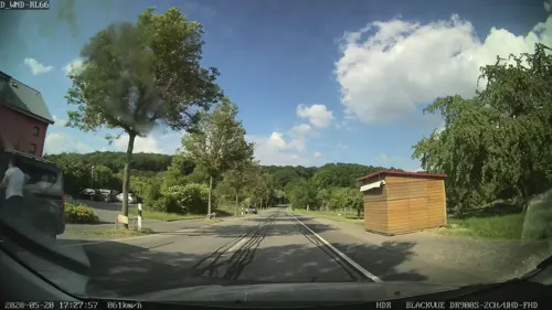
Hof Rosenköppel
Farm and orchard · 1.4 km
Obst und Gemüse Fruchtweine und Fruchtsäfte Likör und Schnaps Milch und Eier Käse und Wurst Marmelade und Honig Vollkornprodukte und...
90 Kirschblütenstraße, Wiesbaden
Mo-Fr 09:00-18:00; Sa 09:00-13:00

Gustav Vietor Tower
Monument and historic site · 5.1 km
Former observation tower in Taunusstein, Hesse, Germany



Museums and landmarks24

Schloss Freudenberg
Museum · 2.0 km
1 Schloss Freudenberg, Wiesbaden
Sa,Su 11:00-18:00; Tu-Fr 09:00-16:00; Mo off

Dotzheimer Museum
Museum · 3.1 km
We 17:00-19:00; Su 10:00-12:00; SH off


Goethe stone
Monument and historic site
Ein auf der Grundfläche eines gleichseitigen Dreiecks aus Quadern errichteter Tetraeder, dessen hochaufragende Spitze an einen Obelisk erinnert.

Burgturm Frauenstein
Monument and historic site
1 Adolf-Lupp-Platz, Wiesbaden
Su 15:00-17:00


12 more on the map.
Parks, trails and playgrounds12

Schlosspark Biebrich
Park · 6.4 km
Park and national heritage site in WIesbaden, Germany







Restaurants and cafes82

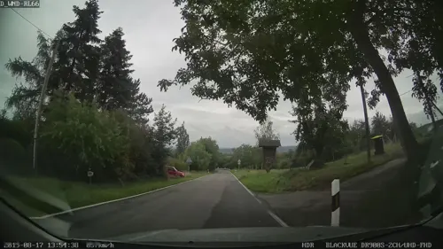
Knopp's Alm
Bar and pub · Regional
Küche nur von 16:00-22:00 Uhr.
30 Georgenborner Straße, Wiesbaden
Tu-Su 15:00-23:00

Langehof
Restaurant · Regional · 3.1 km
Bis 22:00 warme Küche
4 Martinsthaler Straße, Eltville am Rhein
Mo,Tu,Fr 16:00+; Sa 15:00+; Su,PH 12:00+
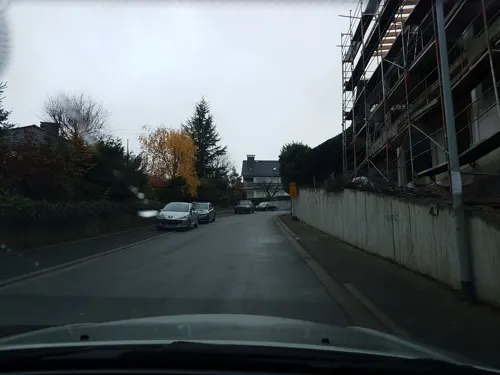
Rauenthaler Stuben
Restaurant · Regional · 2.8 km
Durchgehend warme Küche. Hausgemachte Kuchen. Terrasse.
8 Alte Chaussee, Eltville am Rhein
Mo,Tu,Fr,Sa 15:00+; Su,PH 12:00+
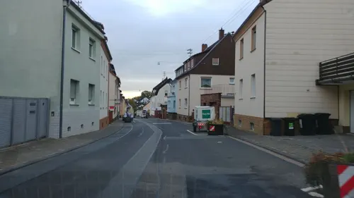
Schneiders Weinschlösschen
Restaurant · Regional, German
Gutsausschank
13 Quellbornstraße, Wiesbaden
Mo,Th-Sa 14:30-23:00; Su 12:00-22:00

Weinhaus Klepper
Bar and pub · Regional
Gutbürgerliche Küche und hausgemachte Wurst, Schlachtfeste, separate Weinprobierstube
12-16 Georgstraße, Wiesbaden
Mo-Sa 15:00+; Su 12:00+
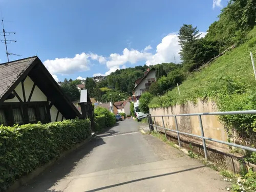
Weinhaus Sinz
Restaurant · German
Durchgehend warme Küche Tu-Sa 11:30-21:30; Su 11:30-14:00. Terasse.
17-19 Herrnbergstraße, Wiesbaden
Tu-Sa 11:00-24:00; Su 11:00-15:00
Agathes Gute Küche
Restaurant · Regional · 3.3 km
32 Hauptstraße, Walluf
Mo-Tu off; We-Sa 16:30-21:30; Su,PH 12:00-21:30
Annas Cuisine
Restaurant · Buschenschank · 2.6 km
11 Lehrstraße, Eltville am Rhein
Mo,Th-Fr 17:00-21:00; Su,PH 12:00-20:30
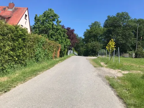
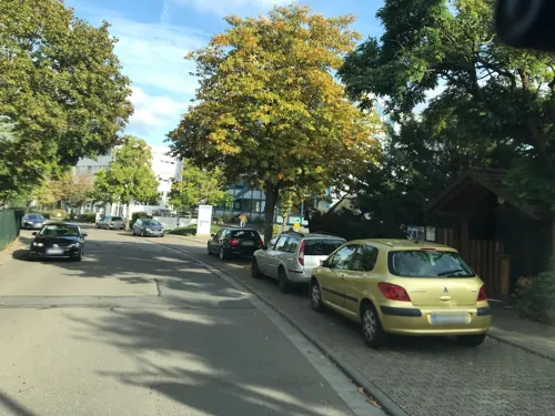
Baumstammhaus
Restaurant · Regional · 2.3 km
2a Am Klingenweg, Walluf
Tu-Sa 17:00-24:00; Su 12:00-23:00; Mo off


70 more on the map.
History
While the German name Frauen-Stein can be translated "women's stone", it actually derives from Vrowenstein, a name which first appears in the historical record in 1221. In that year, a deed names a Heinrich Bodo von Vrowenstein (in 1207/1209, he was mentioned as being from Idstein) as a lord of Frauenstein Castle. In the year 1231, a document of the Erbach monastery mentions a knight by the name of Siegfried von Frauenstein who was a marshal with the bishopric of Mainz. He was a descendant of an aristocratic Schierstein family (which would become extinct in 1380).
It is not known who built Frauenstein Castle, but, based on dendrochronological evidence, its construction has been dated to around 1184. Built on a quartzite outcropping of the Spitzen Stein the castle was not intended as a defensive fortress, but rather as a watch-tower. It also served the tower guards as a dwelling. The construction of the castle with its high walls and battlements gave protection to farmers in the area and led to the emergence of the village of the same name. Later, the castle was extended by a fore-castle with pond, as could be confirmed by excavations in the year 1943.
From the History section of Wiesbaden-Frauenstein on Wikipedia, under CC BY-SA 4.0.
Where to stay7
Churches and places of worship28
St. Sebastianus und Laurentius
Church · Catholic · 2.6 km
25 Kirchstraße, Eltville am Rhein
Shopping14
Gas and EV charging5
Schools, colleges and libraries11
Healthcare4
Map of Frauenstein
193 places. The map loads OpenStreetMap tiles when you open it.
Getting there and nearby towns
Wiesbaden Army Airfield (WIE) is the nearest airport with scheduled flights listed in OpenStreetMap, 12 km away.
- Klarenthal 4 km northeast, about 4 min by car
- Schlangenbad 5 km northwest, about 5 min by car
- Wiesbaden 7 km east, about 7 min by car
- Sonnenberg 9 km northeast, about 9 min by car
- Taunusstein 10 km north, about 10 min by car
- Bad Schwalbach 10 km northwest, about 10 min by car
- Kloppenheim 11 km east, about 11 min by car
- Mainz 13 km southeast, about 13 min by car
- Ingelheim am Rhein 12 km southwest, about 12 min by car
- Nordenstadt 14 km east, about 14 min by car
Drive times are estimates from straight-line distance, not routes.
Local news
Headlines from INDB.
Reviews, tips and questions
Loading what members have shared...
Sources and licences
- GeoNames (CC BY 4.0): population, coordinates, regions and time zone
- Mapillary (see each image): photos
- OpenStreetMap contributors (ODbL 1.0): places, airports, map data
- Wikidata (CC0 1.0): elevation, founding date, time zone, website, landmarks and historic places
- Wikimedia Commons (see each image): photos
- Wikipedia (CC BY-SA 4.0): overview and history text
Photo credits
- WI-Frauenstein-01, Traveler100, CC BY-SA 3.0
- NSG Sommerberg bei Frauenstein, Joschi71, CC BY-SA 4.0
- Wiesbaden Frauenstein Burg von Georgstraße, Athletograph, CC BY-SA 4.0
- Wiesbaden Frauenstein Katholische Kirche und Häuser in Georgstraße, Athletograph, CC BY-SA 4.0
- Wiesbaden Frauenstein Falkerscher Hof Georgstraße 24, Athletograph, CC BY-SA 4.0
- Wiesbaden Frauenstein Mittelgasse 7 Schönbornscher Hof 1, Oliver Abels ( SBT ), CC BY-SA 3.0
- Wiesbaden Frauenstein Treppe und Haus neben Katholischer Kirche, Athletograph, CC BY-SA 4.0
- Burg Frauenstein-01, Muck, CC BY-SA 4.0
- Komunionbank Wi-Frauenstein mit Sohlern'schem Wappen, Unbekannt Foto: RichHein, Public domain
- Wiesbaden Frauenstein Weinhaus und Burg, Athletograph, CC BY-SA 4.0
- Wiesbaden Frauenstein Weinhaus und Burg 2, Athletograph, CC BY-SA 4.0
- Wiesbaden Frauenstein Weinhaus zur Burg, Athletograph, CC BY-SA 4.0
- Wiesbaden-Frauenstein Church 60126, Jacquesverlaeken, CC BY-SA 3.0
- Wiesbaden-Frauenstein Haus 60125, Jacquesverlaeken, CC BY-SA 3.0
- Wiesbaden-Frauenstein Church 60124, Jacquesverlaeken, CC BY-SA 3.0
- Wiesbaden Frauenstein Falkersches Haus von Burg, Athletograph, CC BY-SA 4.0
- Wiesbaden Frauenstein Kirche St. Georg, Athletograph, CC BY-SA 4.0
- Burg Frauenstein-03-innen, Muck, CC BY-SA 4.0
- Burg Frauenstein-04-Aussicht Süd, Muck, CC BY-SA 4.0
- Burg Frauenstein-05-Aussicht West, Muck, CC BY-SA 4.0
- Burg Frauenstein-02-innen, Muck, CC BY-SA 4.0
- Wiesbaden Frauenstein Kirche St. Georg und Blutlinde 2, Athletograph, CC BY-SA 4.0
- Wiesbaden Frauenstein Burg, Athletograph, CC BY-SA 4.0
- Wiesbaden Frauenstein Straße am Lindenbaum, Athletograph, CC BY-SA 4.0
- Wiesbaden Frauenstein Schloss Sommerberg Park, Athletograph, CC BY-SA 4.0
- Wiesbaden Frauenstein Naturdenkmal Traubeneichenwald, Oliver Abels ( SBT ), CC BY-SA 3.0
- Wiesbaden Frauenstein Naturdenkmal Blutlinde, Oliver Abels ( SBT ), CC BY-SA 3.0
- Wiesbaden Frauenstein Burg aus Georgenborner Straße, Athletograph, CC BY-SA 4.0
- Wiesbaden Frauenstein Schloss Sommerberg von Georgenborner Straße 5, Athletograph, CC BY-SA 4.0
- Wiesbaden Frauenstein Schloss Sommerberg von Georgenborner Straße 4, Athletograph, CC BY-SA 4.0
- Wiesbaden Frauenstein Schloss Sommerberg Einfahrt von Georgenborner Straße, Athletograph, CC BY-SA 4.0
- Aussichtsturm Frauenstein-Aussicht, Muck, CC0
- Aussichtsplattform Frauenstein (3292959915), salomon10 from Germany, CC BY-SA 2.0
- Oberhalb von Wiesbaden Frauenstein (3293782094), salomon10 from Germany, CC BY-SA 2.0
- Aussichtsturm Frauenstein, Muck, CC BY-SA 4.0
- Wiesbaden Frauenstein Schloss Sommerberg von Georgenborner Straße 2, Athletograph, CC BY-SA 4.0
- Wiesbaden Schiersteiner Brücke 2013-08 Gesamt 2, Oliver Abels ( SBT ), CC BY-SA 3.0
- Luftbild Wiesbaden Schlosspark mit Schloss Biebrich, Wolfgang Pehlemann, Wiesbaden, Germany ( Wolfgang Pehlemann at de.wikipedia ), CC BY-SA 3.0 de
- Schierstein - Christophoruskirche, Oliver Abels ( SBT ), CC BY 2.5
- Lutherkirche wiesbaden 1, Toddy, Public domain
- Wiesbaden - Mariae Heimsuchung, Oliver Abels ( SBT ), CC BY 2.5
- Ringkirche 2025, Martin Fisch, CC BY 4.0
- Wiesbaden Bonifatius Church, TMg, CC BY-SA 3.0
- Hochschule RheinMain Wiesbaden Bleichstrasse, Oliver Abels ( SBT ) modified by xavax, CC BY 2.5
- Wiesbaden burgruine frauenstein 1, No machine-readable author provided. Toddy assumed (based on copyright claims)., Public domain
- Schloss Freudenberg in Wiesbaden von Süden, Arcalino, CC BY-SA 3.0
- HSK-Wiesbaden, Amras wi at German Wikipedia, Public domain
- 20120203 StMartinOberwalluf, Marion Halft, CC BY-SA 3.0
- Wiesbaden Goethestein 1, Joschi71, CC BY-SA 4.0
- Ruine Johanniskirche, Schwege at German Wikipedia, Public domain
- Martinsthal Alte Kirche St. Sebastian und Laurentius, Oliver Abels ( SBT ), CC BY-SA 3.0
- Kriegerdenkmal Wiesbaden-Dotzheim, 1928, amras.wi, CC BY-SA 3.0 de
- MK13016 NSG Rechtenbachtal bei Georgenborn, Martin Kraft, CC BY-SA 3.0
- Walluf Rhein 05, J.-H. Janßen, CC BY-SA 3.0
- RauenthalPfarrkircheStAntoniusSO, Brühl, Public domain
- Wiesbaden Frauenstein Nürnberger Hof, Oliver Abels ( SBT ), CC BY-SA 3.0
- WIFrauensteinKircheGeorgsbrunnenBlutlinde, Brühl, CC BY-SA 3.0 de
- Martinsthal Rödchen-Kapelle 2, Oliver Abels ( SBT ), CC BY-SA 3.0
- Rauenthal Jahnstraße Kapelle an der Waldpforte 1, Oliver Abels, CC BY-SA 4.0
- Wiesbaden Frauenstein Blutlinde, Athletograph, CC BY-SA 4.0
- MK12980 ND Monstranzenbaum, Martin Kraft, CC BY-SA 3.0
- Street-level photo, miguel_andrade, CC BY-SA 4.0
- Street-level photo, kreuzschnabel, CC BY-SA 4.0
- Street-level photo, miguel_andrade, CC BY-SA 4.0
- Street-level photo, mapcreator, CC BY-SA 4.0
- Street-level photo, mapcreator, CC BY-SA 4.0
- Street-level photo, miguel_andrade, CC BY-SA 4.0
- Street-level photo, mapcreator, CC BY-SA 4.0
- Street-level photo, mapcreator, CC BY-SA 4.0
- Street-level photo, mapcreator, CC BY-SA 4.0
- Street-level photo, miguel_andrade, CC BY-SA 4.0
- Street-level photo, miguel_andrade, CC BY-SA 4.0
- Street-level photo, marpa, CC BY-SA 4.0
- Street-level photo, miguel_andrade, CC BY-SA 4.0
- Street-level photo, miguel_andrade, CC BY-SA 4.0
- Street-level photo, miguel_andrade, CC BY-SA 4.0
- Street-level photo, mapcreator, CC BY-SA 4.0
- Street-level photo, mapcreator, CC BY-SA 4.0
- Street-level photo, jurgenweighardt, CC BY-SA 4.0
- Street-level photo, miguel_andrade, CC BY-SA 4.0
- Street-level photo, bumi76, CC BY-SA 4.0
- Street-level photo, changchun1, CC BY-SA 4.0
- Street-level photo, jurgenweighardt, CC BY-SA 4.0
- Street-level photo, miguel_andrade, CC BY-SA 4.0
- Street-level photo, wambacher, CC BY-SA 4.0
- Street-level photo, miguel_andrade, CC BY-SA 4.0
- Street-level photo, mapcreator, CC BY-SA 4.0


Page built November 9, 2026. Spotted a mistake? Tell us or suggest a place.