


Why visit Bad Schwalbach
Townapedia lists 108 museums and landmarks, 19 parks and trails, 62 places to eat, 12 places to stay and 47 attractions in and around town.
Highlights include Gustav Vietor Tower, Hof Grilseifen, Kur- Stadt- und Apothekenmuseum and Aartalbahn.
Weather in Bad Schwalbach
Forecast from MET Norway (CC BY 4.0). Full forecast
About Bad Schwalbach
Bad Schwalbach (German pronunciation: [baːt ˈʃvalbax] ; called Langenschwalbach until 1927) is the district seat of Rheingau-Taunus-Kreis, in Hesse, Germany.
From the Wikipedia article Bad Schwalbach (this version), under CC BY-SA 4.0.
Things to do47

Gustav Vietor Tower
Monument and historic site · 6.1 km
Former observation tower in Taunusstein, Hesse, Germany

Hof Grilseifen
Farm and orchard · 4.9 km
Biohof mit Verkauf eigener Produkten vom Galloway-Rind. Öffnungszeiten Montag-Sonntag 8:00-20:00 Uhr



35 more on the map.
Museums and landmarks108
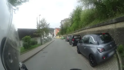


Alte Bahnmeisterei
Monument and historic site · 1.3 km
42 Bahnhofstraße, Bad Schwalbach
Alter Lokschuppen
Monument and historic site · 1.2 km
21 Aarstraße, Bad Schwalbach
96 more on the map.
Parks, trails and playgrounds19

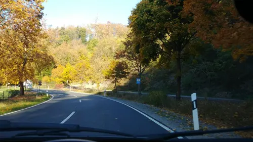
Wunderkiste
Playground · 1.0 km
11 Heimbacher Straße, Bad Schwalbach
Mo-Fr 14:30-19:00; Sa,Su 10:30-18:30





Auf der Unner
Hiking and trails · 4.7 km
Alter Baumbestand auf dem ehemaligen Festplatz

7 more on the map.
Restaurants and cafes62
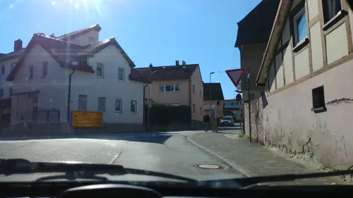

Langenschwalbacher Schlemmer & Kultur Station
Restaurant · German · 1.3 km
7 Aarstraße, Bad Schwalbach
Mo-Fr 11:30-14:00,17:00-23:00; Sa 17:00-23:00; Su 11:00-23:00
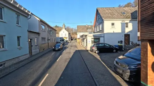
Waldrestaurant Platte Da Nunzio
Restaurant · Italian · 1.4 km
55 Reitallee, Bad Schwalbach
Tu-Sa 11:30-14:30,17:00-22:30; Su 12:00-22:30; Mo off
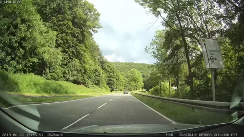
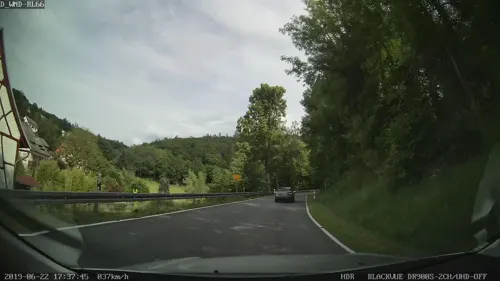
Zum Wispertal
Restaurant · German, Trout · 2.6 km
1 Wisperstraße, Bad Schwalbach
We-Sa 11:30-14:00,17:30-21:00; Su 11:30-20:00; Mo,Tu off
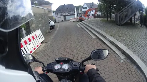
Zur Sonne
Restaurant · Italian · 4.4 km
18 Hauptstraße, Schlangenbad
Mo-Fr 17:00-23:00; Su 11:30-14:30,17:00-23:00; Sa off

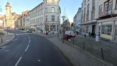


50 more on the map.
History
Bad Schwalbach was first mentioned in a document in 1352 as Langinswalbach. The first reliable report of the mineral springs came in 1568 from the Worms doctor Tabernaemontanus, who also made the place known in his 1581 work Neuw Wasserschatz (New Water Resources). Although Langenschwalbach was utterly destroyed in the Thirty Years' War, it was quickly rebuilt, and the healing water trade began to blossom. At first, the water would be sold by the jug or barrel throughout Europe by mail order. Only a few seekers of healing undertook the arduous journey to the Taunus.
The health resort started at the beginning of the 19th century only after the improvement of road conditions through construction. The Aartalbahn (railway) from Wiesbaden to Langenschwalbach, finished in 1889, also contributed substantially to its founding. Many crowned heads, princes and counts then came to take the waters and visit the gaming parlours where few strict rules applied. After the end of the First World War, the nobility quickly lost importance and thus began the long, drawn-out and somewhat painful transition from a luxury spa to a public one, which only ended after the Second World War.
In a wood near Bad Schwalbach in late 1800 or early 1801, Katharina Pfeifer is said to have borne the outlaw Schinderhannes (Johannes Bückler) a child.
From the History section of Bad Schwalbach on Wikipedia, under CC BY-SA 4.0.
Where to stay12
Churches and places of worship17
Martin-Luther-Kirche
Church · Lutheran · 0.7 km
145 Adolfstraße, Bad Schwalbach
Martinskirche
Church · Protestant · 4.4 km
2 Schützenstraße, Schlangenbad
Maria Hilfe der Christen Kapelle
Church · Roman Catholic · 2.1 km
29 Hauptstraße, Bad Schwalbach
Shopping12
Gas and EV charging7
Schools, colleges and libraries7
Healthcare9
Map of Bad Schwalbach
250 places. The map loads OpenStreetMap tiles when you open it.
Getting there and nearby towns
Wiesbaden Army Airfield (WIE) is the nearest airport with scheduled flights listed in OpenStreetMap, 21 km away.
- Klarenthal 11 km southeast, about 11 min by car
- Wiesbaden 14 km southeast, about 14 min by car
- Niedernhausen 18 km east, about 18 min by car
- Geisenheim 19 km southwest, about 19 min by car
- Mainz 23 km southeast, about 23 min by car
- Bad Camberg 22 km northeast, about 22 min by car
- Eppstein 23 km east, about 23 min by car
- Bischofsheim 27 km southeast, about 27 min by car
- Ginsheim-Gustavsburg 27 km southeast, about 27 min by car
- Königstein im Taunus 29 km east, about 29 min by car
Drive times are estimates from straight-line distance, not routes.
Local news
Headlines from INDB.
Reviews, tips and questions
Loading what members have shared...
Sources and licences
- GeoNames (CC BY 4.0): population, coordinates, regions and time zone
- Mapillary (see each image): photos
- OpenStreetMap contributors (ODbL 1.0): places, airports, map data
- Wikidata (CC0 1.0): elevation, founding date, time zone, website, landmarks and historic places
- Wikimedia Commons (see each image): photos
- Wikipedia (CC BY-SA 4.0): overview and history text
Photo credits
- Bad Langenschwalbach 1900, Unknown author Unknown author, Public domain
- Bad Schwalbach – ev. Reformationskirche - panoramio, Edgar El, CC BY 3.0
- Bad Schwalbach, – In dem 1620 erbauten Fachwerkhaus findet man das Gasthaus „Das GlasWerk“ - panoramio, Edgar El, CC BY 3.0
- Bad Schwalbach - Gaststätte Weidenhof - panoramio, giggel, CC BY 3.0
- Bad Schwalbach, Adolfstraße- Ecke Koblenzer Straße – „Das GlasWerk“ ist ein außergewöhnliches Gasthaus. Das Fachwerkhaus wurde 1620 erbaut - panoramio, giggel, CC BY 3.0
- Bad Schwalbach Lindebrunnen, Indiana68, CC BY-SA 4.0
- Bad Schwalbach – Fachwerkhaus in der Kirchstraße - panoramio, giggel, CC BY 3.0
- Bad Schwalbach – Schönes Fachwerkhaus in der Kirchstraße - panoramio, giggel, CC BY 3.0
- Bad Schwalbach – das Fachwerkhaus Adolfstraße- Ecke Pestgäßchen wurde 1617 erbaut - panoramio, giggel, CC BY 3.0
- Bad Schwalbach - Kurhaus - panoramio, giggel, CC BY 3.0
- Bad Schwalbach - Amtsgericht - panoramio, giggel, CC BY 3.0
- Bad Schwalbach - Kath. Pfarrkirche St. Elisabeth - panoramio, Edgar El, CC BY 3.0
- Bad Schwalbach – Hotel Kaiserhof - panoramio, giggel, CC BY 3.0
- Bad Schwalbach Stahlbrunnen Info 1, Indiana68, CC BY-SA 4.0
- Bad Schwalbach Stahlbrunnen-1, Indiana68, CC BY-SA 4.0
- Bad Schwalbach Stahlbrunnen-2, Indiana68, CC BY-SA 4.0
- Bad Schwalbach – Fachwerkhaus Schmidtberg-Ecke Adolfstraße - panoramio (1), Edgar El, CC BY 3.0
- Bad Schwalbach Stahlbrunnen Info 2, Indiana68, CC BY-SA 4.0
- Bad Schwalbach – Fachwerkhaus Schmidtberg-Ecke Adolfstraße - panoramio, giggel, CC BY 3.0
- Bad Schwalbach Weinbrunnen, Indiana68, CC BY-SA 4.0
- Bad Schwalbach Brodelbrunnen, Indiana68, CC BY-SA 4.0
- Bad Schwalbach - Bahnhofstraße, Bahnübergang, ManuelB701, CC0
- Bad Schwalbach - Bahnhofstraße, BÜ-Signal, ManuelB701, CC0
- Bad Schwalbach - Martin- Luther- Kirche - panoramio, Edgar El, CC BY 3.0
- Bad Schwalbach – Mühlenweg-Ecke Adolfstraße - panoramio, giggel, CC BY 3.0
- Bad Schwalbach Neubrunnen, Indiana68, CC BY-SA 4.0
- Bad Schwalbach Panorama ks01, Kreuzschnabel, CC BY-SA 3.0
- Bad Schwalbach Paulinenbrunnen, Indiana68, CC BY-SA 4.0
- 2016 Aar Bad Schwalbach, Kreuzschnabel, CC BY-SA 3.0
- Hohe Wurzel, hintertaunus, Public domain
- Burg-adolfseck-mauer-aussen, Adolfseggle, CC BY-SA 4.0
- AdolfseckBurgKapelleNW, Brühl, Public domain
- Bad Schwalbach Kurhaus am Kurpark Cursaal Bau Baumeister Ph. Hoffmann bis 1879 - Hessen - Foto Wolfgang Pehlemann IMG 4586, Wolfgang Pehlemann, CC BY-SA 3.0 de
- Evangelische Martin-Luther-Kirche - Bad Schwalbach - 2, Nixnubix, CC BY-SA 3.0
- Adler-Apotheke - Adolfstraße 32, Nixnubix, CC BY-SA 4.0
- Neuapostolische Kirche Bad Schwalbach - 2, Nixnubix, CC BY-SA 3.0
- Evangelische Kirche Heidenrod Kemel (01), Marion Halft, CC BY-SA 4.0
- 14217 Bleidenstadt Stift Kirche1, Oliver Abels ( SBT ), CC BY-SA 3.0
- 2016 St. Peter auf dem Berg Bleidenstadt, Kreuzschnabel, CC BY-SA 3.0
- Adolfseck-burg-kirche-2, Adolfseggle, CC BY-SA 4.0
- Pohlbachtal bei Adolfseck 01, Adolfseggle, CC BY-SA 4.0
- KircheBaerstadt, Werner Kleefeld, Public domain
- Alexanders Rest, Oliver kuehlert, CC BY-SA 3.0
- Katholische Pfarrkirche St. Elisabeth - 1, Nixnubix, CC BY-SA 3.0
- Eingang Taunus Wunderland 2019, TWL Muckel, CC BY-SA 4.0
- Street-level photo, wambacher, CC BY-SA 4.0
- Street-level photo, mapcreator, CC BY-SA 4.0
- Street-level photo, bct, CC BY-SA 4.0
- Street-level photo, wambacher, CC BY-SA 4.0
- Street-level photo, mapcreator, CC BY-SA 4.0
- Street-level photo, kreuzschnabel, CC BY-SA 4.0
- Street-level photo, rml, CC BY-SA 4.0
- Street-level photo, bct, CC BY-SA 4.0
- Street-level photo, mapcreator, CC BY-SA 4.0
- Street-level photo, mapcreator, CC BY-SA 4.0
- Street-level photo, mapcreator, CC BY-SA 4.0
- Street-level photo, mapcreator, CC BY-SA 4.0
- Street-level photo, wambacher, CC BY-SA 4.0
- Street-level photo, wambacher, CC BY-SA 4.0
- Street-level photo, wambacher, CC BY-SA 4.0
- Street-level photo, mapcreator, CC BY-SA 4.0
- Street-level photo, mapcreator, CC BY-SA 4.0
- Street-level photo, kreuzschnabel, CC BY-SA 4.0
- Street-level photo, mapcreator, CC BY-SA 4.0
- Street-level photo, wambacher, CC BY-SA 4.0
- Street-level photo, mapcreator, CC BY-SA 4.0
- Street-level photo, mapcreator, CC BY-SA 4.0


Page built November 8, 2026. Spotted a mistake? Tell us or suggest a place.