


Why visit Baiersdorf
Townapedia lists 23 museums and landmarks, 5 parks and trails, 30 places to eat, 5 places to stay and 4 attractions in and around town.
Highlights include Erlebnisbauernhof Clemens Schmitt, Fürstberg, Steinkreuz and Treidelstein 140.
Weather in Baiersdorf
Forecast from MET Norway (CC BY 4.0). Full forecast
About Baiersdorf
Baiersdorf (German pronunciation: [ˈbaɪɐsˌdɔʁf] ) is a town in the district of Erlangen-Höchstadt, in northern Bavaria, Germany.
From the Wikipedia article Baiersdorf (this version), under CC BY-SA 4.0.
Things to do4
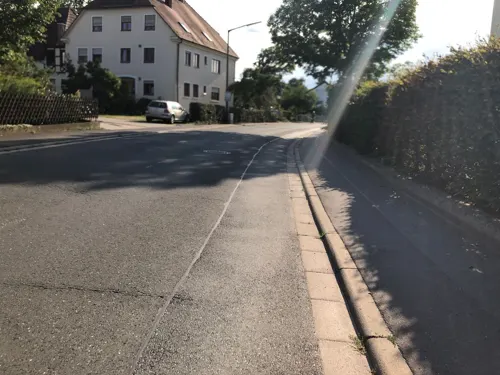
Erlebnisbauernhof Clemens Schmitt
Farm and orchard · 3.0 km
8 Bubenreuther Straße, Langensendelbach
Mo-Su 09:00-18:00

Museums and landmarks23
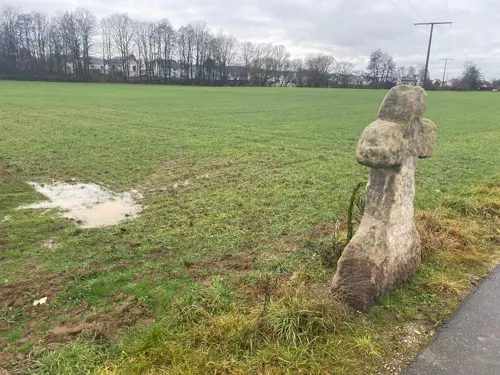

Treidelstein 140
Monument and historic site
Myriameterstein 14, Ludwig-Donau-Main-Kanal

Kulturscheune Baiersdorf
Museum
Ein kleines non-profit Kulturzentrum im Zentrum der Baiersdorfer Altstadt mit Herz für Subkultur.




11 more on the map.
Parks, trails and playgrounds5



Restaurants and cafes30
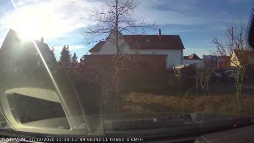

Der Beck
Cafe · German, Coffee Shop, Pastry · 3.0 km
8 Kleinseebacher Straße
Mo-Fr 06:00-20:00; Sa 06:00-18:00; Su 08:00-11:00
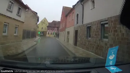
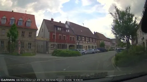

Landgasthof Schuh
Restaurant · German, Regional · 2.2 km
6 Dorfstraße, Möhrendorf
Mo,Tu,Th 11:30-14:00,17:00-22:00, Fr,Sa 11:00-22:00, Su 10:00-20:00
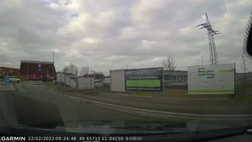
Der Beck
Cafe · German, Coffee Shop, Pastry
2 Fritz-Hartmann-Straße, Baiersdorf
Mo-Fr 05:30-18:00; Sa 06:00-18:00; Su,PH 07:00-18:00
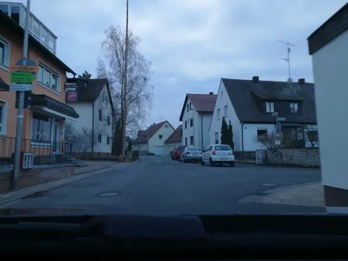
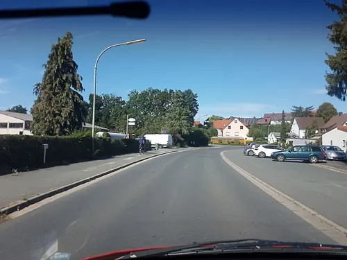

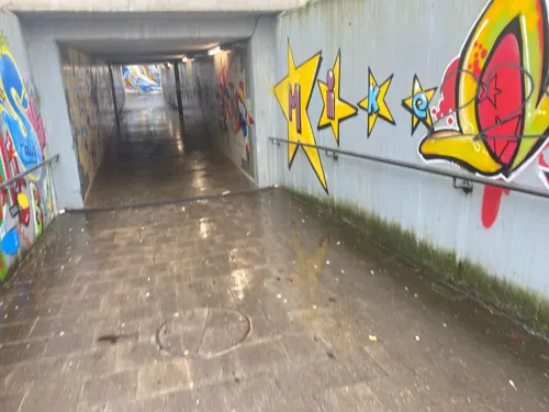
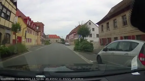
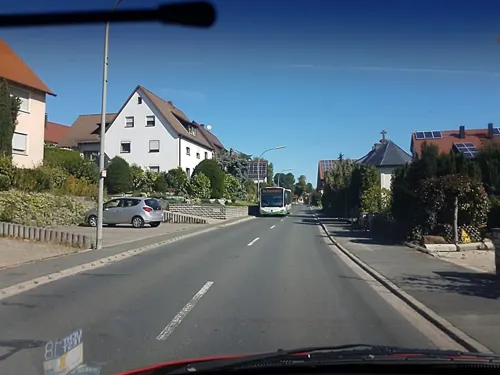


18 more on the map.
History
Baiersdorf was first mentioned in 1062 AD and has been chartered since 1460.
As Baiersdorf is famous for farming and processing horseradish, the Meerrettich Museum for horseradish ("the spiciest museum of the world") is located in the old center of the town. A horseradish queen is even chosen every year on the third Saturday in September. The margrave Johann der Alchimist (1401–1464) started the cultivation of horseradish in the region.
Baiersdorf's Jewish cemetery attests to the fact that the town has been home to Jews since the 15th century. Among others the family of Joseph Seligman who emigrated to the United States and founded an international bank lived there.
Joseph's brother James who later followed him to the United States, is the grandfather of American art collector and socialite Peggy Guggenheim.
The district of Hagenau was founded in 1939 as a German Luftwaffe base. French prisoners of war lived there. After 1945, Hagenau was a home for refugees from the Sudetenland. Today it is a part of the town, and the Karl Höfner Corporation is located there, world famous for its guitars and bass guitars.
In July 2007, the town was flooded by torrential rain. Over 1000 homes were flooded, and the Bundesautobahn was temporarily closed to traffic.
From the History section of Baiersdorf on Wikipedia, under CC BY-SA 4.0.
Where to stay5
Churches and places of worship15
Pfarrkirche St. Wolfgang Altbau
Church · Catholic · 3.5 km
6 Wunderburg, Hausen
Shopping8
Gas and EV charging2
Schools, colleges and libraries8
Healthcare2
Map of Baiersdorf
102 places. The map loads OpenStreetMap tiles when you open it.
Getting there and nearby towns
Verkehrslandeplatz Burg Feuerstein (URD) is the nearest airport with scheduled flights listed in OpenStreetMap, 17 km away.
- Heroldsbach 5 km northwest, about 5 min by car
- Forchheim 7 km north, about 7 min by car
- Erlangen 8 km south, about 8 min by car
- Hemhofen 8 km west, about 8 min by car
- Eggolsheim 12 km north, about 12 min by car
- Herzogenaurach 15 km southwest, about 15 min by car
- Weisendorf 16 km west, about 16 min by car
- Höchstadt an der Aisch 17 km west, about 17 min by car
- Heroldsberg 16 km southeast, about 16 min by car
- Ebermannstadt 17 km northeast, about 17 min by car
Drive times are estimates from straight-line distance, not routes.
Local news
Headlines from INDB.
Reviews, tips and questions
Loading what members have shared...
Sources and licences
- GeoNames (CC BY 4.0): population, coordinates, regions and time zone
- Mapillary (see each image): photos
- OpenStreetMap contributors (ODbL 1.0): places, airports, map data
- Wikidata (CC0 1.0): elevation, founding date, time zone, website
- Wikimedia Commons (see each image): photos
- Wikipedia (CC BY-SA 4.0): overview and history text
Photo credits
- BaiersdorfZentrum, Kassandro, CC BY-SA 3.0
- Baiersdorf Pfarrkirche St. Nikolaus, Barbaraglessinger, CC BY-SA 4.0
- Baiersdorf Tor Seligmannstraße 17, Barbaraglessinger, CC BY-SA 4.0
- Baiersdorf Forchheimer Straße 5, Barbaraglessinger, CC BY-SA 4.0
- Baiersdorf Judengasse 26, Barbaraglessinger, CC BY-SA 4.0
- Baiersdorf Forchheimer Straße 7, Barbaraglessinger, CC BY-SA 4.0
- Baiersdorf Judengasse 28, Barbaraglessinger, CC BY-SA 4.0
- Baiersdorf Herbergsgässchen 1, Barbaraglessinger, CC BY-SA 4.0
- Baiersdorf Hauptstraße 11, Barbaraglessinger, CC BY-SA 4.0
- Baiersdorf Judengasse 8, Barbaraglessinger, CC BY-SA 4.0
- Baiersdorf Judengasse 2, Barbaraglessinger, CC BY-SA 4.0
- Baiersdorf Hauptstraße 8, Barbaraglessinger, CC BY-SA 4.0
- Baiersdorf Hauptstraße 17, Barbaraglessinger, CC BY-SA 4.0
- Baiersdorf Hauptstraße 19, Barbaraglessinger, CC BY-SA 4.0
- Baiersdorf Hauptstraße 28, Barbaraglessinger, CC BY-SA 4.0
- Baiersdorf Hauptstraße 29, Barbaraglessinger, CC BY-SA 4.0
- Baiersdorf Hauptstraße 26, Barbaraglessinger, CC BY-SA 4.0
- Baiersdorf Rathausplatz 1, Barbaraglessinger, CC BY-SA 4.0
- Baiersdorf Rathausplatz 3, Barbaraglessinger, CC BY-SA 4.0
- Baiersdorf Hauptstraße 32, Barbaraglessinger, CC BY-SA 4.0
- Baiersdorf Hauptstraße 25, Barbaraglessinger, CC BY-SA 4.0
- Baiersdorf Hauptstraße 30, Barbaraglessinger, CC BY-SA 4.0
- Baiersdorf Hauptstraße 27, Barbaraglessinger, CC BY-SA 4.0
- Baiersdorf Judengasse 1, Barbaraglessinger, CC BY-SA 4.0
- Baiersdorf Pfarrkirche St. Josef, Barbaraglessinger, CC BY-SA 4.0
- Baiersdorf Rathausplatz 2, Barbaraglessinger, CC BY-SA 4.0
- Baiersdorf Apothergässchen 1, Barbaraglessinger, CC BY-SA 4.0
- Baiersdorf katholische Kirche Luftaunahme-20220303-RM-164642, Ermell, CC BY-SA 4.0
- Baiersdorf katholische Kirche Luftaunahme-20220303-RM-164657, Ermell, CC BY-SA 4.0
- Baiersdorf Hauptstraße 36, Barbaraglessinger, CC BY-SA 4.0
- Baiersdorf In der Hut Luftbild-20230422-RM-160102, Reinhold Möller Ermell, CC BY-SA 4.0
- Baiersdorf Haltepunkt Luftbild-20230422-RM-160056, Reinhold Möller Ermell, CC BY-SA 4.0
- Baiersdorf Rathausplatz 4, Barbaraglessinger, CC BY-SA 4.0
- Baiersdorf Hauptstraße 33, Barbaraglessinger, CC BY-SA 4.0
- Bücherschrank Baiersdorf, Padd y, CC BY-SA 4.0
- Baiersdorf Waaggasse 11, Barbaraglessinger, CC BY-SA 4.0
- Baiersdorf Haltepunkt Luftbild-20230422-RM-160032, Reinhold Möller Ermell, CC BY-SA 4.0
- Baiersdorf Haltepunkt Luftbild-20230422-RM-155903, Ermell, CC BY-SA 4.0
- Baiersdorf Eisenbahnstrecke Luftbild-20230422-RM-155915, Reinhold Möller Ermell, CC BY-SA 4.0
- Möhrendorf St. Oswald und Martin-20220220-RM-163824, Ermell, CC BY-SA 4.0
- Ludwig-Donau-Main-Kanal Kilometerstein 140 001, Janericloebe, CC BY 3.0
- St.-Laurentius-Kirche-Möhrendorf, Checko-der-leo, CC BY-SA 3.0
- Baiersdorf Stolpersteine 001, Janericloebe, CC BY 3.0
- Möhrendorf Rinnigrad 003, Janericloebe, CC BY-SA 3.0
- Möhrendorf Schlossangerrad 001, Janericloebe, CC BY-SA 3.0
- Möhrendorf Wasserräder Schmiedsrad, Moehri, CC BY-SA 3.0
- Möhrendorf Vierzigmannrad 001, Janericloebe, CC BY-SA 3.0
- Möhrendorf Wässerwiesenrad 002, Janericloebe, CC BY-SA 3.0
- Poxdorf Kirche Mariä Opferung-20200216-RM-173007, Ermell, CC BY-SA 4.0
- Seligmannstraße 19 Baiersdorf 20180427 001, Tilman2007, CC BY-SA 4.0
- Wunderburg 6 Katholische Pfarrkirche St. Wolfgang D-4-74-134-1, Hanniball200, CC BY-SA 3.0
- Langensendelbach Kirche-20200126-RM-170242, Ermell, CC BY-SA 4.0
- Street-level photo, curtisnewton, CC BY-SA 4.0
- Street-level photo, curtisnewton, CC BY-SA 4.0
- Street-level photo, curtisnewton, CC BY-SA 4.0
- Street-level photo, curtisnewton, CC BY-SA 4.0
- Street-level photo, curtisnewton, CC BY-SA 4.0
- Street-level photo, curtisnewton, CC BY-SA 4.0
- Street-level photo, r66, CC BY-SA 4.0
- Street-level photo, mike409, CC BY-SA 4.0
- Street-level photo, curtisnewton, CC BY-SA 4.0
- Street-level photo, curtisnewton, CC BY-SA 4.0
- Street-level photo, curtisnewton, CC BY-SA 4.0
- Street-level photo, curtisnewton, CC BY-SA 4.0
- Street-level photo, curtisnewton, CC BY-SA 4.0
- Street-level photo, r66, CC BY-SA 4.0
- Street-level photo, smiley269, CC BY-SA 4.0
- Street-level photo, curtisnewton, CC BY-SA 4.0
- Street-level photo, curtisnewton, CC BY-SA 4.0
- Street-level photo, curtisnewton, CC BY-SA 4.0
- Street-level photo, danfuh, CC BY-SA 4.0
- Street-level photo, curtisnewton, CC BY-SA 4.0
- Street-level photo, smiley269, CC BY-SA 4.0
- Street-level photo, smiley269, CC BY-SA 4.0


Page built November 9, 2026. Spotted a mistake? Tell us or suggest a place.