


Why visit Weisendorf
Townapedia lists 10 museums and landmarks, 6 parks and trails, 30 places to eat, 2 places to stay and 9 attractions in and around town.
Highlights include Lindenhof Erlebnishof, Morgentau Spargel and Vogelfreistätte Weihergebiet bei Mohrhof.
Weather in Weisendorf
Forecast from MET Norway (CC BY 4.0). Full forecast
About Weisendorf
Weisendorf (German pronunciation: [ˈvaɪzn̩dɔʁf]) is a municipality in the district of Erlangen-Höchstadt, in Bavaria, Germany. It belongs to the administrative region of Middle Franconia.
From the Wikipedia article Weisendorf (this version), under CC BY-SA 4.0.
Things to do9



Museums and landmarks10

Marterl
Monument and historic site · 5.1 km
Bildstock Marienkrönung 1865 bei Ailersbach

Parks, trails and playgrounds6



Restaurants and cafes30
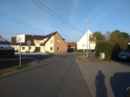
Gasthaus Süß
Restaurant · Fish · 2.8 km
1 Reichenbacher Straße, Weisendorf
Mo-Tu off; We 17:00-20:30; Th-Sa 11:00-14:00,17:00-21:00; Su,PH...
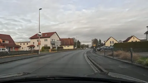
Brezen Meyer
Bakery · 3.9 km
14 Hauptstraße, Großenseebach
Mo-Fr 06:30-18:00; Sa 06:30-14:00; Su 08:00-11:00
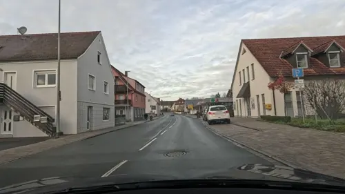



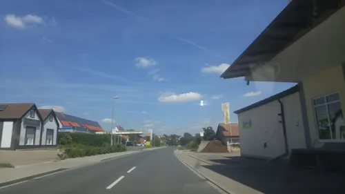
Der Beck
Cafe · German, Coffee Shop, Pastry · 5.2 km
Mo-Fr 05:00-13:00; Sa 07:00-14:00; PH 07:00-17:00 open
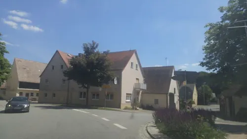
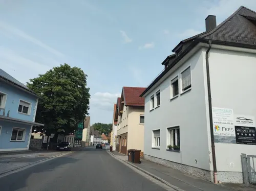
Gasthaus Walter
Restaurant · Regional · 5.4 km
17 Poppenwind, Gremsdorf
Fr, Sa 17:00-20:00; Su 11:00-14:00, 17:00-20:00


18 more on the map.
Where to stay2
Churches and places of worship14
St. Kilian
Church · Lutheran · 2.5 km
36 Kairlindacher Straße, Weisendorf
St.-Katharinen-Kirche
Church · Lutheran · 3.8 km
2 Sebald-Rieter-Weg, Weisendorf
Shopping3
Gas and EV charging4
Schools, colleges and libraries6
Healthcare2
Map of Weisendorf
86 places. The map loads OpenStreetMap tiles when you open it.
Getting there and nearby towns
Albrecht Dürer Airport Nuremberg (NUE) is the nearest airport with scheduled flights listed in OpenStreetMap, 23 km away.
- Herzogenaurach 7 km southeast, about 7 min by car
- Höchstadt an der Aisch 9 km north, about 9 min by car
- Erlangen 14 km east, about 14 min by car
- Langenzenn 14 km south, about 14 min by car
- Neustadt an der Aisch 16 km west, about 16 min by car
- Pommersfelden 16 km north, about 16 min by car
- Wilhermsdorf 17 km southwest, about 17 min by car
- Cadolzburg 19 km south, about 19 min by car
- Forchheim 20 km northeast, about 20 min by car
- Fürth 20 km southeast, about 20 min by car
Drive times are estimates from straight-line distance, not routes.
Local news
Headlines from INDB.
Reviews, tips and questions
Loading what members have shared...
Sources and licences
- GeoNames (CC BY 4.0): population, coordinates, regions and time zone
- Mapillary (see each image): photos
- OpenStreetMap contributors (ODbL 1.0): places, airports, map data
- Wikidata (CC0 1.0): elevation, founding date, time zone, website
- Wikimedia Commons (see each image): photos
- Wikipedia (CC BY-SA 4.0): overview and history text
Photo credits
- Blick auf Weisendorf, Jobi98, CC BY-SA 3.0
- Weisendorf Kirche 8255539, Ermell, CC BY-SA 4.0
- Weisendorf Kriegerdenkmal 8255541-PSD, Ermell, CC BY-SA 4.0
- Schloss Weisendorf 01, Spike, CC BY-SA 4.0
- Weisendorf Panorama 01, Spike, CC BY-SA 4.0
- Oberlindach (Weisendorf) von Osten, Migunal, CC BY-SA 4.0
- Nankendorf Weisendorf Panorama 01, Spike, CC BY-SA 4.0
- St. Martin Ailersbach Hoechstadt an der Aisch-3, Rufus46, CC BY-SA 3.0
- Obermembach - Katholische Kapelle St. Valentin - D-5-72-133-32 (1), Emerco, CC BY-SA 3.0
- Kirche (Rezelsdorf, Sebald-Rieter-Weg 2), Migunal, CC BY-SA 4.0
- Ev. Pfarrkirche Weisendorf-1, Rufus46, CC BY-SA 3.0
- Kath. Pfarrkirche St. Josef Weisendorf-1, Rufus46, CC BY-SA 3.0
- Mohrhof Weihergebiet 17RM0278, Ermell, CC BY-SA 4.0
- Naturschutzgebiet Mohrhof 3, Hochgeistungssportler, CC BY-SA 4.0
- Kairlindach Kirche 17RM1737-PSD, Ermell, CC BY-SA 4.0
- Kairlindach Kirche 8255544, Ermell, CC BY-SA 4.0
- Rezelsdorf, Evang.-Luth. Filialkirche Weisendorf 20231229 0136, Tilman2007, CC BY-SA 4.0
- Street-level photo, thetornado76, CC BY-SA 4.0
- Street-level photo, Felix23, CC BY-SA 4.0
- Street-level photo, Felix23, CC BY-SA 4.0
- Street-level photo, thetornado76, CC BY-SA 4.0
- Street-level photo, falk, CC BY-SA 4.0
- Street-level photo, falk, CC BY-SA 4.0
- Street-level photo, falk, CC BY-SA 4.0
- Street-level photo, bravewaffle, CC BY-SA 4.0
- Street-level photo, falk, CC BY-SA 4.0
- Street-level photo, falk, CC BY-SA 4.0
- Street-level photo, falk, CC BY-SA 4.0
- Street-level photo, thetornado76, CC BY-SA 4.0
- Street-level photo, Felix23, CC BY-SA 4.0
- Street-level photo, Felix23, CC BY-SA 4.0
- Street-level photo, bravewaffle, CC BY-SA 4.0
- Street-level photo, curtisnewton, CC BY-SA 4.0
- Street-level photo, Felix23, CC BY-SA 4.0
- Street-level photo, Felix23, CC BY-SA 4.0
- Street-level photo, thetornado76, CC BY-SA 4.0


Page built November 9, 2026. Spotted a mistake? Tell us or suggest a place.