


Why visit Heroldsbach
Townapedia lists 49 museums and landmarks, 15 parks and trails, 17 places to eat, 4 places to stay and 5 attractions in and around town.
Highlights include Singer's Bauernladen, Fürstberg, Schloss Thurn and Dorfmuseum im Greifenhaus.
Weather in Heroldsbach
Forecast from MET Norway (CC BY 4.0). Full forecast
About Heroldsbach
Heroldsbach is a municipality in the district of Forchheim in Bavaria in Germany.
From the Wikipedia article Heroldsbach (this version), under CC BY-SA 4.0.
Things to do5
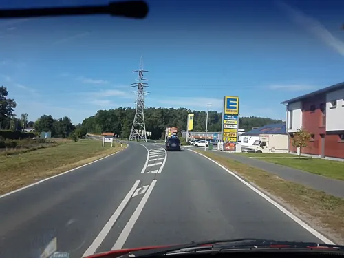
Singer's Bauernladen
Farm and orchard · 2.1 km
42a Heroldsbacher Straße, Hausen
Mo,We-Fr 09:00-12:00,14:00-18:00; Sa 08:00-13:00; Tu off

Museums and landmarks49



Stadtbefestigung
Monument and historic site · 5.2 km
Cultural heritage monument D-4-74-126-3 (0) in Forchheim, Bavaria
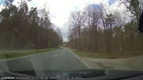

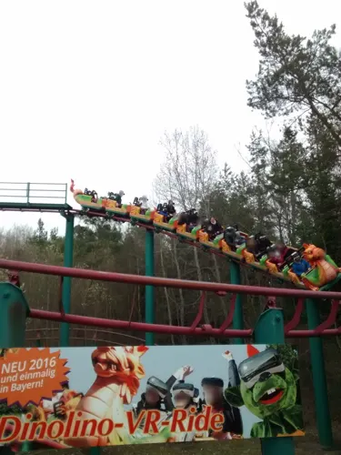

37 more on the map.
Parks, trails and playgrounds15




3 more on the map.
Restaurants and cafes17

Der Pilatushof - Erlebnisgastronomie Pilatus
Restaurant · German · 3.2 km
32 Pilatusring, Hausen
Mo-Su 09:00-20:00
Lindenhof
Restaurant · Regional
6 Löffelholzweg, Heroldsbach
We-Fr 17:00-23:00; Sa-Su 11:00-14:00,17:30-23:00
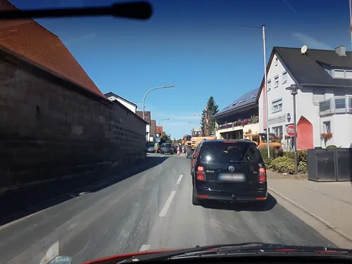
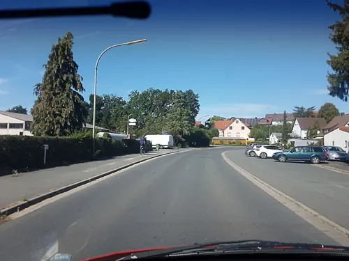
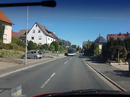
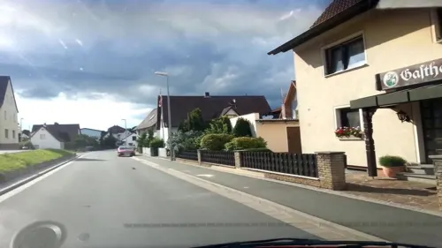
Gaststätte Dippacher
Restaurant · 2.4 km
23 Dorfstraße, Heroldsbach
Mo,We off


5 more on the map.
Where to stay4
Churches and places of worship15
Pfarrkirche St. Wolfgang Altbau
Church · Catholic · 2.6 km
6 Wunderburg, Hausen
St. Georg
Church · Roman Catholic · 2.4 km
18 St.-Georgen-Straße, Heroldsbach
Rosenkranzkapelle;Rosenkranzkapelle Gebetsstätte Heroldsbach
Church
20 Am Herrengarten, Heroldsbach
Shopping6
Blümlein Naturfarben biologische Dämmstoffe Bodenbeläge
Hardware store · 2.5 km
11 Heroldsbacher Straße, Hausen
Gas and EV charging5
Schools, colleges and libraries2
Healthcare4
Map of Heroldsbach
122 places. The map loads OpenStreetMap tiles when you open it.
Getting there and nearby towns
Verkehrslandeplatz Burg Feuerstein (URD) is the nearest airport with scheduled flights listed in OpenStreetMap, 15 km away.
- Forchheim 5 km northeast, about 5 min by car
- Hemhofen 5 km west, about 5 min by car
- Erlangen 11 km south, about 11 min by car
- Höchstadt an der Aisch 13 km west, about 13 min by car
- Hirschaid 14 km north, about 14 min by car
- Weisendorf 15 km southwest, about 15 min by car
- Herzogenaurach 16 km southwest, about 16 min by car
- Pommersfelden 15 km northwest, about 15 min by car
- Pettstadt 16 km north, about 16 min by car
- Fürth 24 km south, about 24 min by car
Drive times are estimates from straight-line distance, not routes.
Local news
Headlines from INDB.
Reviews, tips and questions
Loading what members have shared...
Sources and licences
- GeoNames (CC BY 4.0): population, coordinates, regions and time zone
- Mapillary (see each image): photos
- OpenStreetMap contributors (ODbL 1.0): places, airports, map data
- Wikidata (CC0 1.0): elevation, founding date, time zone, website, landmarks and historic places
- Wikimedia Commons (see each image): photos
- Wikipedia (CC BY-SA 4.0): overview and history text
Photo credits
- Heroldsbach Luftbild-20220303-RM-160642, Ermell, CC BY-SA 4.0
- Heroldsbach Kirche Luftbild-20220303-RM-155309, Ermell, CC BY-SA 4.0
- Heroldsbach Kirche Innen -20200209-RM-152928, Ermell, CC BY-SA 4.0
- Heroldsbach Kirche Altar -20200209-RM-151804, Ermell, CC BY-SA 4.0
- Heroldsbach St. Michael Wetterhahn-20220303-RM-155655, Ermell, CC BY-SA 4.0
- Heroldsbach Turmuhr-20220303-RM-155528, Ermell, CC BY-SA 4.0
- Heroldsbach Kirche Innen -20200209-RM-151558, Ermell, CC BY-SA 4.0
- Heroldsbach Kirche-20200209-RM-152129, Ermell, CC BY-SA 4.0
- Heroldsbach Kreuz-20200209-RM-153551, Ermell, CC BY-SA 4.0
- Heroldsbach Kirche Altar -20200209-RM-151238, Ermell, CC BY-SA 4.0
- Heroldsbach Kirche Altar -20200209-RM-150914, Ermell, CC BY-SA 4.0
- Heroldsbach Kirche Tür-20200209-RM-150341, Ermell, CC BY-SA 4.0
- Heroldsbach Kirche Kruzifix-20200209-RM-150311, Ermell, CC BY-SA 4.0
- Heroldsbach Kirche Tür-20200209-RM-150501, Ermell, CC BY-SA 4.0
- Heroldsbach Kirche-20200209-RM-154244, Ermell, CC BY-SA 4.0
- Heroldsbach Kirche Luftbild-20220303-RM-155325, Ermell, CC BY-SA 4.0
- Heroldsbach Luftbild-20220303-RM-160746, Ermell, CC BY-SA 4.0
- Heroldsbach, Helmlechner, CC0
- Heroldsbach Luftbild-20220303-RM-160651, Ermell, CC BY-SA 4.0
- St. Veit-Bastion Forchheim 20190705 017, Tilman2007, CC BY-SA 4.0
- Schloss Thurn, Heroldsbach 005, Wolkenkratzer, CC BY-SA 4.0
- Forchheim Burk Weintraubenmarter-20200216-RM-154358, Ermell, CC BY-SA 4.0
- Wunderburg 6 Katholische Pfarrkirche St. Wolfgang D-4-74-134-1, Hanniball200, CC BY-SA 3.0
- Poppendorf (Heroldsbach) Kirche 02, Mikmaq, CC BY-SA 4.0
- Katholische Pfarrkirche St. Michael Heroldsbach, Ofarts, CC BY-SA 4.0
- Schloss Thurn 1, MarcelBuehner, CC BY-SA 4.0
- Hausen St.Wolfgang-20200126-RM-152004, Ermell, CC BY-SA 4.0
- Poppendorf Kirche -20200209-RM-160751, Ermell, CC BY-SA 4.0
- Schloss Thurn Luftbild-20220303-RM-160830, Ermell, CC BY-SA 4.0
- Schloss Thurn Luftbild-20220303-RM-160852, Ermell, CC BY-SA 4.0
- ISS065-E-32804 - View of Earth, Earth Science and Remote Sensing Unit , Lyndon B. Johnson Space Center, Public domain
- ISS030-E-281215 - View of Earth, Earth Science and Remote Sensing Unit , Lyndon B. Johnson Space Center, Public domain
- ISS065-E-26950 - View of Earth, Earth Science and Remote Sensing Unit , Lyndon B. Johnson Space Center, Public domain
- ISS030-E-117175 - View of Earth, Earth Science and Remote Sensing Unit , Lyndon B. Johnson Space Center, Public domain
- ISS065-E-32803 - View of Earth, Earth Science and Remote Sensing Unit , Lyndon B. Johnson Space Center, Public domain
- ISS022-E-5788 - View of Switzerland, Earth Science and Remote Sensing Unit , Lyndon B. Johnson Space Center, Public domain
- ISS023-E-45493 - View of Earth, Earth Science and Remote Sensing Unit , Lyndon B. Johnson Space Center, Public domain
- Street-level photo, r66, CC BY-SA 4.0
- Street-level photo, curtisnewton, CC BY-SA 4.0
- Street-level photo, r66, CC BY-SA 4.0
- Street-level photo, r66, CC BY-SA 4.0
- Street-level photo, r66, CC BY-SA 4.0
- Street-level photo, mike409, CC BY-SA 4.0
- Street-level photo, curtisnewton, CC BY-SA 4.0
- Street-level photo, r66, CC BY-SA 4.0
- Street-level photo, mike409, CC BY-SA 4.0
- Street-level photo, r66, CC BY-SA 4.0
- Street-level photo, r66, CC BY-SA 4.0
- Street-level photo, curtisnewton, CC BY-SA 4.0
- Street-level photo, curtisnewton, CC BY-SA 4.0
- Street-level photo, r66, CC BY-SA 4.0
- Street-level photo, r66, CC BY-SA 4.0
- Street-level photo, lwm, CC BY-SA 4.0
- Street-level photo, mike409, CC BY-SA 4.0
- Street-level photo, r66, CC BY-SA 4.0
- Street-level photo, r66, CC BY-SA 4.0
- Street-level photo, r66, CC BY-SA 4.0


Page built November 9, 2026. Spotted a mistake? Tell us or suggest a place.