


Why visit Beckingen
Townapedia lists 170 museums and landmarks, 42 parks and trails, 167 places to eat, 10 places to stay and 18 attractions in and around town.
Highlights include Marienhof Gerlfangen, Galgenberg, Fremersdorfer Schloss and Bahnhof Beckingen.
Weather in Beckingen
Forecast from MET Norway (CC BY 4.0). Full forecast
About Beckingen
Beckingen (German pronunciation: [ˈbɛkɪŋən] ; Saarlandic dialect: Beckinge) is a municipality in the Merzig-Wadern district in Saarland, Germany. It is situated on the river Saar, approximately 7 km southeast of Merzig and 30 km northwest of Saarbrücken. It was created on January 1, 1974 as part of the territorial and administrative reform of the villages Beckingen, Düppenweiler, Erbringen, Hargarten, Haustadt, Honzrath, Oppen, Reimsbach and Saarfels.
From the Wikipedia article Beckingen (this version), under CC BY-SA 4.0.
Things to do18

Marienhof Gerlfangen
Farm and orchard · 5.6 km
Apfelsaft, hauseigene Backwaren, Konfitüre, Milch, großes Bio-Sortiment Mitglied der Viezstraße / Route du Cidre



6 more on the map.
Museums and landmarks170

Fremersdorfer Schloss
Monument and historic site · 3.7 km
Schloss mit Hauptgebäude und Seitenflügeln, Türmen, Kapelle, Wirtschaftsgebäude, Schlosspark und Einfriedung, Mauerzüge vom Vorgängerbau...
1 Fährweg, Rehlingen-Siersburg

Bahnhof Beckingen
Monument and historic site · 1.7 km
Bahnhofsempfangsgebäude
8 Bahnhofstraße, Beckingen

Bodinets-kreuz
Monument and historic site · 5.8 km
Barockes helles Sandsteinkreuz mit Steinkruzifix auf Steinsockel


Contiomagus
Monument and historic site · 4.9 km
Archaeological site in Dillingen/Saar, Germany


158 more on the map.
Parks, trails and playgrounds42






30 more on the map.
Restaurants and cafes167


Landgasthaus Wilscheider Hof
Restaurant · German · 5.4 km
1 Zum Wilscheider Hof, Beckingen
Fr-Sa 17:00-21:30; Su 10:00-14:00, 18:00-21:00
Capizzi Napoletana
Restaurant · Pizza · 4.8 km
We, Th 17:30-22:00; Fr 17:30-23:00; Sa 14:30-23:00; Su 12:00-22:00
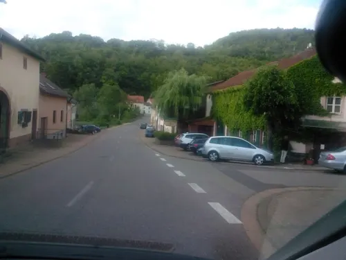
Taj Mahal
Restaurant · Indian · 5.1 km
0-1 Tolberberg, Rehlingen-Siersburg
Tu-Mo 11:30-14:00; Tu-Mo 17:30-22:30
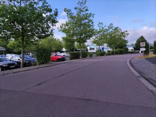

Bietzer Mühlenbrand Edelobstbrennerei
Brewery and winery · 3.6 km
Edelbrände, Likör, Verkostung Mitglied der Viezstraße / Route du Cidre
42 Zum Mühlengrund, Merzig
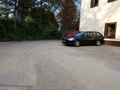
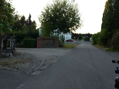
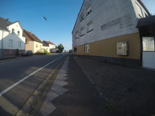
Roma
Restaurant · Italian · 2.9 km
1 Poststraße, Rehlingen-Siersburg
Mo-Sa 16:30-22:50, Su 11:30-21:50
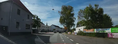
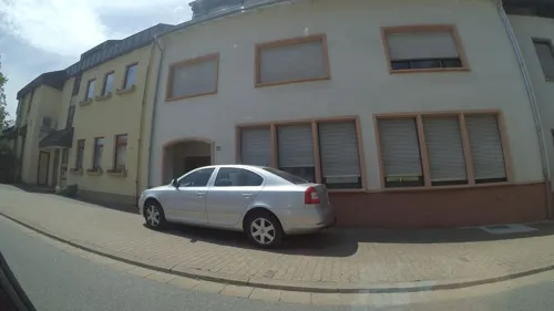


Trattoria il Castello
Restaurant · Pizza · 4.5 km
We off; Mo,Tu,Th,Fr 18:00-22:00; Sa,Su,PH 17:30-22:00
155 more on the map.
Where to stay10
Churches and places of worship39
Katholische Pfarrkirche Heilig Sakrament
Church · Roman Catholic · 5.2 km
Shopping26
Gas and EV charging9
bike-energy Ladestation
EV charging · 6.1 km
14 Wallerfanger Straße, Dillingen/Saar
Schools, colleges and libraries21
Healthcare12
Ärztehaus Friedrich-Ebert-Straße Dillingen Saar
Clinic and pharmacy · 4.9 km
40 Friedrich-Ebert-Straße, Dillingen/Saar
Map of Beckingen
250 places. The map loads OpenStreetMap tiles when you open it.
Getting there and nearby towns
Saarbrücken Airport (SCN) is the nearest airport with scheduled flights listed in OpenStreetMap, 36 km away.
- Saarwellingen 9 km southeast, about 9 min by car
- Schmelz 11 km east, about 11 min by car
- Schwalbach 14 km southeast, about 14 min by car
- Wadgassen 16 km south, about 16 min by car
- Überherrn 18 km south, about 18 min by car
- Eppelborn 19 km east, about 19 min by car
- Riegelsberg 20 km southeast, about 20 min by car
- Wadern 21 km northeast, about 21 min by car
- Illingen 25 km east, about 25 min by car
- Saarbrücken 29 km southeast, about 29 min by car
Drive times are estimates from straight-line distance, not routes.
Local news
Headlines from INDB.
Reviews, tips and questions
Loading what members have shared...
Sources and licences
- GeoNames (CC BY 4.0): population, coordinates, regions and time zone
- Mapillary (see each image): photos
- OpenStreetMap contributors (ODbL 1.0): places, airports, map data
- Wikidata (CC0 1.0): elevation, founding date, time zone, website, landmarks and historic places
- Wikimedia Commons (see each image): photos
- Wikipedia (CC BY-SA 4.0): overview and history text
Photo credits
- Beckingen vom Oberlimberg1, LoKiLeCh, CC BY-SA 3.0
- BeckingenMarcellus-Kapelle (6), LoKiLeCh, CC BY-SA 3.0
- Beckingen Gardens, Southern Germany. Vorleser, LoKiLeCh, CC BY 3.0
- Blick über Beckingen, LoKiLeCh, CC BY 3.0
- Beckingen Wegekreuz, LoKiLeCh, CC BY-SA 3.0
- BeckingenMarcellus-Kapelle (1), LoKiLeCh, CC BY-SA 3.0
- Beckingen Denkmal WW2 (2), LoKiLeCh, CC BY-SA 3.0
- Beckingen Weinberg pano a, Orgwin Camera location 49° 23′ 56.7″ N, 6° 41′ 21.4″ E View this and other nearby images on: OpenStreetMap 49.399083; 6.689278, CC BY-SA 3.0
- Beckingen Denkmal Kinder, LoKiLeCh, CC BY-SA 3.0
- Beckingen-Öffentlicher Bücherschrank, TeKaBe, CC BY-SA 4.0
- SaartalBeckingenDillingen, Orgwin, CC BY 3.0
- Beckingen Umzug 2017, LoKiLeCh, CC BY-SA 4.0
- MerzigFellenbergmühle2, Lokilech, CC BY-SA 3.0
- Museum Pachten,, Lokilech, CC BY-SA 3.0
- DillingenSaarL1100566 (2), Oktobersonne, CC BY-SA 4.0
- Dillingen Altes Schloss1, User Kolling on de.wikipedia, CC BY-SA 3.0
- DillingenSchwedenkreuz-2, Lokilech, CC BY-SA 3.0
- Bunker 20, Canbro, CC BY-SA 3.0 de
- Dillinge Maria Trost (13), LoKiLeCh, CC BY-SA 3.0
- Peter-Wust-Gymnasium Merzig 2011, SFiJ10, CC BY-SA 3.0 de
- Beckingen Kirche, Lokilech, CC BY-SA 3.0
- Dillingen Evangelische Kirche1, Lokilech, CC BY-SA 3.0
- Merchingen St. Agatha 01, atreyu, CC BY-SA 3.0
- Mechern (8), LoKiLeCh, CC BY 3.0
- 20200820 Dillinger See 02, Flocci Nivis, CC BY 4.0
- Fremersdorf schloss 2013, atreyu, CC BY 3.0
- Skulptur auf dem Wolferskopf 8, LoKiLeCh, CC BY 3.0
- Beckingen evangelische Kirche, LoKiLeCh, CC BY-SA 3.0
- 20210417 Fischerberghaus 01, Flocci Nivis, CC BY 4.0
- 20210417 Saartalblick Beckingen 03, Flocci Nivis, CC BY 4.0
- 20210417 Beckinger Bildchen 01, Flocci Nivis, CC BY 4.0
- PachtenWestwallbunkerAnnastr, Lokilech, CC BY-SA 3.0
- DillingenGrabmalDefrance, Lokilech, CC BY-SA 3.0
- DillingenKreuzPeterHillen, Lokilech, CC BY-SA 3.0
- Museum Pachten, pano, Lokilech, CC BY-SA 3.0
- BilsdorfNalbachL1080600 (2), Oktobersonne, CC BY-SA 4.0
- BurgSiersburgL1020137 (2), Oktobersonne, CC BY-SA 4.0
- Pachten Bunker Kuppel, Lokilech, CC BY-SA 3.0
- Dillinge Maria Trost (2), LoKiLeCh, CC BY-SA 3.0
- ISS034-E-15412 - View of Earth, Earth Science and Remote Sensing Unit , Lyndon B. Johnson Space Center, Public domain
- Hoesberg (Siersburg), LoKiLeCh, CC BY 3.0
- Reihersberg Beckingen (46), SP2011, CC BY-SA 4.0
- Bunker gegenüber Bahnhof Beckingen, LoKiLeCh, CC BY-SA 3.0
- Römerkastell Contiomagus Pachten Dillingen Saarland, Amber16, CC BY-SA 4.0
- Street-level photo, zors1843, CC BY-SA 4.0
- Street-level photo, teddy73, CC BY-SA 4.0
- Street-level photo, reisender, CC BY-SA 4.0
- Street-level photo, lokilech, CC BY-SA 4.0
- Street-level photo, teddy73, CC BY-SA 4.0
- Street-level photo, lokilech, CC BY-SA 4.0
- Street-level photo, mfa, CC BY-SA 4.0
- Street-level photo, lokilech, CC BY-SA 4.0
- Street-level photo, lokilech, CC BY-SA 4.0
- Street-level photo, lokilech, CC BY-SA 4.0
- Street-level photo, teddy73, CC BY-SA 4.0
- Street-level photo, lokilech, CC BY-SA 4.0
- Street-level photo, lokilech, CC BY-SA 4.0
- Street-level photo, teddy73, CC BY-SA 4.0
- Street-level photo, lokilech, CC BY-SA 4.0
- Street-level photo, teddy73, CC BY-SA 4.0
- Street-level photo, teddy73, CC BY-SA 4.0
- Street-level photo, mfa, CC BY-SA 4.0
- Street-level photo, lokilech, CC BY-SA 4.0
- Street-level photo, teddy73, CC BY-SA 4.0
- Street-level photo, lokilech, CC BY-SA 4.0
- Street-level photo, lokilech, CC BY-SA 4.0
- Street-level photo, lokilech, CC BY-SA 4.0
- Street-level photo, lokilech, CC BY-SA 4.0
- Street-level photo, lokilech, CC BY-SA 4.0


Page built November 8, 2026. Spotted a mistake? Tell us or suggest a place.