


Why visit Saarwellingen
Townapedia lists 141 museums and landmarks, 31 parks and trails, 180 places to eat, 12 places to stay and 21 attractions in and around town.
Highlights include Latz Obstplantage, Bio Paul, Jüdischer Friedhof Saarwellingen and Bodinets-kreuz.
Weather in Saarwellingen
Forecast from MET Norway (CC BY 4.0). Full forecast
About Saarwellingen
Saarwellingen (German pronunciation: [ˌzaːɐ̯ˈvɛlɪŋən]; French: Sarrevailingue [saʁvɛlɛ̃ɡ]) is a municipality in the district of Saarlouis in Saarland, Germany. As of 2022 it has a population of 13,302.
From the Wikipedia article Saarwellingen (this version), under CC BY-SA 4.0.
Things to do21
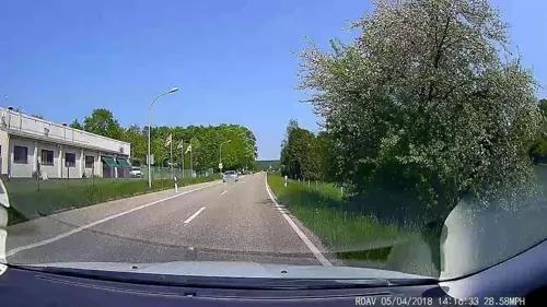
Latz Obstplantage
Farm and orchard · 0.9 km
125 Lebacher Straße, Saarwellingen
Tu-Fr 09:00-13:00; Sa 09:00-13:00
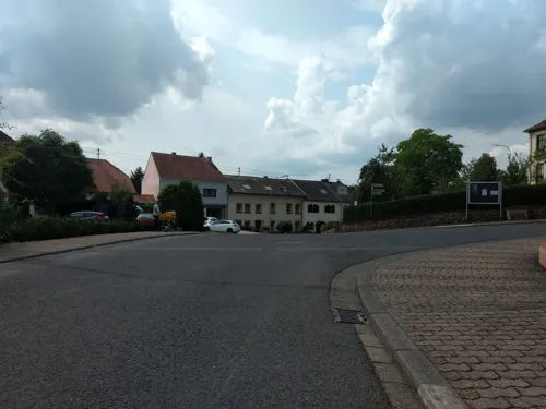



Weiter Blick
Scenic view · 4.2 km
Nordpanorama, bis zum Schimmelkopf (Weiskirchen, 4 WEA)
9 more on the map.
Museums and landmarks141


Bodinets-kreuz
Monument and historic site · 5.6 km
Barockes helles Sandsteinkreuz mit Steinkruzifix auf Steinsockel

Saar Polygon
Monument and historic site · 4.3 km
Monument in Ensdorf, Saarland, Germany


Contiomagus
Monument and historic site · 7.0 km
Archaeological site in Dillingen/Saar, Germany



Schmiede- und Schlossermuseum Schwalbach
Museum · 6.6 km
Museum in Germany

Alice Cahn geb. Gans
Monument and historic site · 5.5 km
Stolperstein für Alice Cahn, geb.Gans (frühere Adresse der heutigen Hüttenwerkstraße 21 war Nr.7)

Gefallene Soldaten
Monument and historic site · 5.0 km
Steinkreuz mit Metalkruzifix auf Steinsockel
129 more on the map.
Parks, trails and playgrounds31
Indoor Spielpark Kids-World
Playground · 3.4 km
Kinder- und Freizeitzentrum
199 Saarwellinger Straße, Saarlouis

Landschaftsschutzgebiet Im Landkreis Saarlouis - Im Bereich Der Gemeinden Saarwellingen (Und Lebach)
Hiking and trails · 3.8 km
Landschaftsschutzgebiet im Saarland mit der Kennung L 3.06.21



Sonnenbad Steinrausch
Sports field and stadium · 3.4 km
131 Kurt-Schumacher-Allee, Saarlouis

19 more on the map.
Restaurants and cafes180
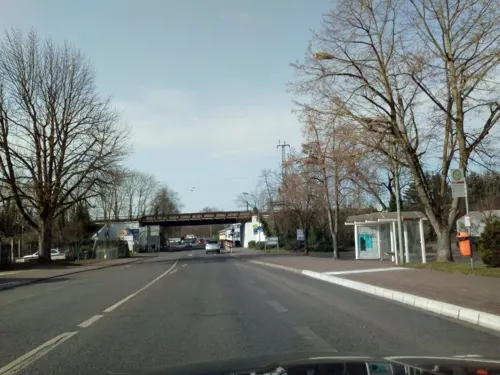
Gudd Gess
Restaurant · German · 5.5 km
4 Saarlouiser Straße, Ensdorf/Saar
Mo off; Tu 11:30-15:00,17:30-22:00; We 11:30-15:00; Th...

Hotel-Restaurant-Litermont
Restaurant · Regional · 5.1 km
40 Am Litermont, Nalbach
We-Sa 17:00-21:00; Su 11:00-21:00
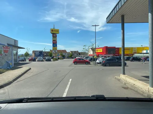
Wasgau Bäckerei
Bakery · 4.2 km
91E Saarbrücker Straße, Saarlouis
Mo-Sa 07:00-20:00; Su 08:00-11:00; PH off
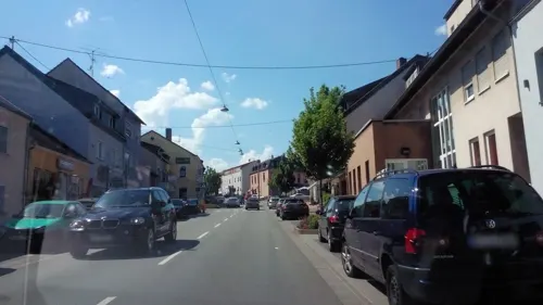

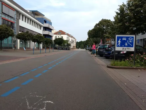

Dong Dong Asia Bistro
Restaurant · Chinese · 5.4 km
17 Am Markt, Dillingen/Saar
Mo,We-Fr 11:00-15:00,17:00-22:00; Tu off; Sa,Su,PH 12:00-22:00


168 more on the map.
Where to stay12
Kitz Alm
Motel and hotel · German · 1.2 km
26 Werner-von-Siemens-Straße, Saarwellingen
Churches and places of worship39
Katholische Pfarrkirche Heilig Sakrament
Church · Roman Catholic · 5.7 km
Shopping31
Gas and EV charging11
Schools, colleges and libraries27
Healthcare19
Schulze-Kathrin Apotheke
Clinic and pharmacy · 4.7 km
8 Bartholomäusstraße, Saarwellingen
Map of Saarwellingen
250 places. The map loads OpenStreetMap tiles when you open it.
Getting there and nearby towns
Saarbrücken Airport (SCN) is the nearest airport with scheduled flights listed in OpenStreetMap, 27 km away.
- Schwalbach 6 km south, about 6 min by car
- Schmelz 9 km north, about 9 min by car
- Wadgassen 10 km south, about 10 min by car
- Überherrn 15 km southwest, about 15 min by car
- Saarbrücken 20 km southeast, about 20 min by car
- Sulzbach 19 km east, about 19 min by car
- Wadern 22 km north, about 22 min by car
- Tholey 22 km northeast, about 22 min by car
- Spiesen-Elversberg 24 km east, about 24 min by car
- Zweibrücken 43 km east, about 43 min by car
Drive times are estimates from straight-line distance, not routes.
Local news
Headlines from INDB.
Reviews, tips and questions
Loading what members have shared...
Sources and licences
- GeoNames (CC BY 4.0): population, coordinates, regions and time zone
- Mapillary (see each image): photos
- OpenStreetMap contributors (ODbL 1.0): places, airports, map data
- Wikidata (CC0 1.0): elevation, founding date, time zone, website, landmarks and historic places
- Wikimedia Commons (see each image): photos
- Wikipedia (CC BY-SA 4.0): overview and history text
Photo credits
- Saarwellingen, houses on the Schloßstraße, Dguendel, CC BY 3.0
- Saarwellingen, die Schlossstraße, Dguendel, CC BY 3.0
- Saarwellingen, ehemaliges italienische Restaurant, Dguendel, CC BY 3.0
- Wegekreuz Saarwellingen, LoKiLeCh, CC BY-SA 3.0
- Saarwellingen, der Gasthof "Nassauer Hof", Dguendel, CC BY 3.0
- Saarwellingen, die Häuser Schlossplatz 9 und Lebacher Straße 1, Dguendel, CC BY 3.0
- Saarwellingen, Häuserzeile in der Schlossstraße, Dguendel, CC BY 3.0
- Saarwellingen, das Schloss (Rathaus), Dguendel, CC BY 3.0
- Saarwellingen, der Kreisel am Südende des Schlossplatzes, Dguendel, CC BY 3.0
- Wegekreuz in Saarwellingen 2, LoKiLeCh, CC BY-SA 3.0
- Saarwellingen, der Rathausbrunnen, Dguendel, CC BY 3.0
- Saarwellingen, der Gasthof "Zum Adler", Dguendel, CC BY 3.0
- Saarwellingen, die Kirche St. Blasius und Martinus, Dguendel, CC BY 3.0
- Saarwellingen, das Pfarramt, Dguendel, CC BY 3.0
- Saarwellingen, die Kirche St. Blasius und Martinus, Marienstatue, Dguendel, CC BY 3.0
- Saarwellingen, die Häuser Engelstraße 18 und 20, Dguendel, CC BY 3.0
- Mühle in Saarwellingen, LoKiLeCh, CC BY-SA 3.0
- Bücherschrank Saarwellingen (2), Gripweed, CC BY-SA 4.0
- Bücherschrank Saarwellingen (3), Gripweed, CC BY-SA 4.0
- Bücherschrank Saarwellingen 1, Gripweed, CC BY-SA 4.0
- Wegekreuz Saarwellingen 2, LoKiLeCh, CC BY-SA 3.0
- Friedhof Saarwellingen, LoKiLeCh, CC BY-SA 3.0
- Tankstelle Saarwellingen, LoKiLeCh, CC BY-SA 3.0
- Mühle Saarwellingen, LoKiLeCh, CC BY-SA 3.0
- Saarpolygon 2024, Jörg Braukmann, CC BY-SA 4.0
- Saarlouis Haus Ludwig, -- Xocolatl ( talk ) 14:14, 11 April 2010 (UTC), Public domain
- Museum Pachten,, Lokilech, CC BY-SA 3.0
- DillingenSaarL1100566 (2), Oktobersonne, CC BY-SA 4.0
- Dillingen Altes Schloss1, User Kolling on de.wikipedia, CC BY-SA 3.0
- Saarlouis, the church of the Peter brotherhood society, Dguendel, CC BY 3.0
- DillingenSchwedenkreuz-2, Lokilech, CC BY-SA 3.0
- SLS RobertSchumanGymnasium, Phrontis, CC BY-SA 3.0
- SLS MaxPlanckGymnasium, Phrontis, CC BY-SA 3.0
- EnsdorfKirche, Lokilech, CC BY-SA 3.0
- Fraulautern Friedhofskapelle (11), LoKiLeCh, CC BY-SA 3.0
- Fraulautern Kirche pano, Lokilech, CC BY-SA 3.0
- MariaHimmelfahrtRodenL1020676 (3), Oktobersonne, CC BY-SA 4.0
- Schwalbach St. Martin 02, atreyu, CC BY-SA 3.0
- Steinrausch St Johann (1), LoKiLeCh, CC BY-SA 3.0
- StJosefFraulautern, Matthwiki ( Diskussion ) 22:04, 23. Jun. 2013 (CEST), CC BY-SA 3.0 de
- HerzJesuBilsdorfL1020692 (2), Oktobersonne, CC BY-SA 4.0
- Saarwellingen Jüdischer Friedhof (14), LoKiLeCh, CC BY-SA 3.0
- 20191124Mühlenbach Schluchtentour13, Flocci Nivis, CC BY-SA 4.0
- 20191124Wildfreigehege Wolfsrat 03, Flocci Nivis, CC BY-SA 4.0
- DillingenGrabmalDefrance, Lokilech, CC BY-SA 3.0
- DillingenKreuzPeterHillen, Lokilech, CC BY-SA 3.0
- Stolperstein für Alice Cahn (Dillingen), Christian Michelides, CC BY-SA 4.0
- Wegekreuz Roden, LoKiLeCh, CC BY-SA 3.0
- Saarwellingen-Schwarzenholz, Bartholomäuskirche., Rosarap, CC BY-SA 3.0
- BilsdorfNalbachL1080600 (2), Oktobersonne, CC BY-SA 4.0
- Blick von Conny Hill, LoKiLeCh, CC BY-SA 4.0
- Römerkastell Contiomagus Pachten Dillingen Saarland, Amber16, CC BY-SA 4.0
- Street-level photo, derfred, CC BY-SA 4.0
- Street-level photo, abusimbel16, CC BY-SA 4.0
- Street-level photo, elton4711, CC BY-SA 4.0
- Street-level photo, elton4711, CC BY-SA 4.0
- Street-level photo, elton4711, CC BY-SA 4.0
- Street-level photo, elton4711, CC BY-SA 4.0
- Street-level photo, teddy73, CC BY-SA 4.0
- Street-level photo, elton4711, CC BY-SA 4.0
- Street-level photo, lokilech, CC BY-SA 4.0
- Street-level photo, arayla, CC BY-SA 4.0
- Street-level photo, elton4711, CC BY-SA 4.0
- Street-level photo, lokilech, CC BY-SA 4.0
- Street-level photo, lokilech, CC BY-SA 4.0
- Street-level photo, teddy73, CC BY-SA 4.0
- Street-level photo, teddy73, CC BY-SA 4.0
- Street-level photo, teddy73, CC BY-SA 4.0
- Street-level photo, teddy73, CC BY-SA 4.0
- Street-level photo, lokilech, CC BY-SA 4.0
- Street-level photo, lokilech, CC BY-SA 4.0
- Street-level photo, teddy73, CC BY-SA 4.0
- Street-level photo, teddy73, CC BY-SA 4.0
- Street-level photo, teddy73, CC BY-SA 4.0
- Street-level photo, elton4711, CC BY-SA 4.0
- Street-level photo, lokilech, CC BY-SA 4.0
- Street-level photo, lokilech, CC BY-SA 4.0


Page built November 8, 2026. Spotted a mistake? Tell us or suggest a place.