


Why visit Illingen
Townapedia lists 52 museums and landmarks, 14 parks and trails, 162 places to eat, 2 places to stay and 15 attractions in and around town.
Highlights include Göttelborner Höhe, Großer Elmersberg (Schäferberg), Burg Kerpen and Zentrum für Biodokumentation.
Weather in Illingen
Forecast from MET Norway (CC BY 4.0). Full forecast
About Illingen
Illingen (German pronunciation: [ˈɪlɪŋən]) is a municipality in the district of Neunkirchen, in Saarland, Germany. It is situated approximately 10 km northwest of Neunkirchen, and 17 km northeast of Saarbrücken.
From the Wikipedia article Illingen, Saarland (this version), under CC BY-SA 4.0.
Things to do15





3 more on the map.
Museums and landmarks52


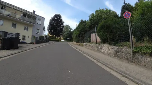
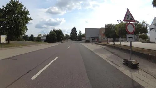


Gedenkstein an Gabriel Schramm
Monument and historic site · 3.0 km
Verunglückte 1748 an dieser sumpfigen Stelle - gedrungenes Sandsteinkreuz

Missionskreuz
Monument and historic site · 3.0 km
Überdachtes Holzkreuz mit Corpus

Sachsenkreuz
Monument and historic site · 3.8 km
Schlichtes Kreuz auf eiem Fundament.

Stein Nr.14
Monument and historic site · 2.6 km
Außer der Nummer ist nichts mit Gewissheit zu entziffern
40 more on the map.
Parks, trails and playgrounds14




2 more on the map.
Restaurants and cafes162
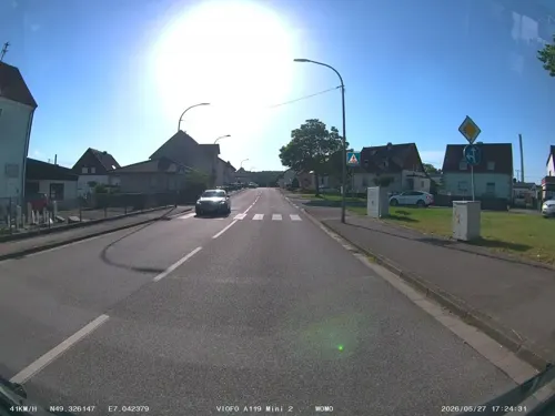
Quierschied's Döner - Pizzahaus
Restaurant · Kebab, Pizza · 5.3 km
53 Rathausstraße, Quierschied
Mo-Sa 11:00-22:00; Su 12:00-22:00
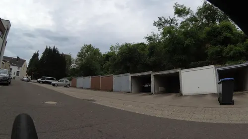
Ristorante Pizzeria Al Bacio
Restaurant · Pizza, Italian · 5.3 km
3 Rathausplatz, Quierschied
Tu-Th 17:00-22:30; Fr-Su,PH 12:00-22:30

Thai Bistro Buriram
Restaurant · Thai · 4.3 km
16 Itzenplitzstraße, Schiffweiler
11:30-14:30,17:00-22:00
Cafe Maria
Cafe · Breakfast · 5.0 km
Mo,We,Th,Sa 08:30-12:30; Fr 08:30-12:30,15:30-20:00; Su 09:00-18:00
Martinis
Restaurant · German · 3.3 km
Mo-We,PH 09:00-17:30; Th,Fr 09:00-23:00; Sa 17:00-23:00; Su off
Don Camillo
Restaurant · Italian · 1.2 km
Mo-Su 11:30-14:00,17:30-23:30; We off; Th off
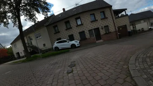
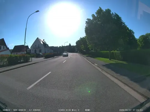
"Bernhards Currybuud" oder Alte Näherei
Restaurant · Regional · 5.3 km
126b Holzer Straße, Quierschied
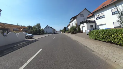


Alte Scheune / Pizza-Nudel-Schnitzel-Haus
Restaurant · Pizza · 5.1 km
76 Hauptstraße, Eppelborn
150 more on the map.
Where to stay2
Churches and places of worship30
Shopping24
Gas and EV charging12
Schools, colleges and libraries16
Grundschule Quierschied – Fischbach/Göttelborn (Standort Göttelborn)
School · 3.8 km
189 Hauptstraße, Quierschied
Healthcare13
Map of Illingen
250 places. The map loads OpenStreetMap tiles when you open it.
Getting there and nearby towns
Saarbrücken Airport (SCN) is the nearest airport with scheduled flights listed in OpenStreetMap, 18 km away.
- Merchweiler 3 km south, about 3 min by car
- Schiffweiler 6 km east, about 6 min by car
- Quierschied 6 km south, about 6 min by car
- Sulzbach 8 km south, about 8 min by car
- Marpingen 9 km north, about 9 min by car
- Spiesen-Elversberg 9 km southeast, about 9 min by car
- Ottweiler 9 km east, about 9 min by car
- Riegelsberg 12 km southwest, about 12 min by car
- Tholey 12 km north, about 12 min by car
- Saarbrücken 16 km south, about 16 min by car
Drive times are estimates from straight-line distance, not routes.
Local news
Headlines from INDB.
Reviews, tips and questions
Loading what members have shared...
Sources and licences
- GeoNames (CC BY 4.0): population, coordinates, regions and time zone
- Mapillary (see each image): photos
- OpenStreetMap contributors (ODbL 1.0): places, airports, map data
- Wikidata (CC0 1.0): elevation, founding date, time zone, website, landmarks and historic places
- Wikimedia Commons (see each image): photos
- Wikipedia (CC BY-SA 4.0): overview and history text
Photo credits
- Illinger Rathaus, Michi Jo Standl, CC BY-SA 3.0
- Poststraße 18, Illingen, Saarland (2016), Simon Mannweiler, CC BY-SA 4.0
- Baudenkmal Ensemble Poststraße, Illingen (2016), Simon Mannweiler, CC BY-SA 4.0
- Poststraße 16, Illingen, Saarland (2016), Simon Mannweiler, CC BY-SA 4.0
- Poststraße 14, Illingen, Saarland (2016), Simon Mannweiler, CC BY-SA 4.0
- Bahnhofsschild Illingen 090201, Clic, CC BY-SA 4.0
- Urnenwand Friedhof Illingen, Saarland (2016), Simon Mannweiler, CC BY-SA 4.0
- Kreuzigungsgruppe Friedhof Illingen, Saarland (2016), Simon Mannweiler, CC BY-SA 4.0
- Illingen, Haus Hauptstraße 19, Dguendel, CC BY 4.0
- Illingen, die Kirche St.Stephan, Dguendel, CC BY 4.0
- Illingen, Blick von der Hauptstraße zum Turm der Kirche St.Stephan, Dguendel, CC BY 4.0
- Illingen, die Hauptstraße, Bild 2, Dguendel, CC BY 4.0
- Illingen, die Hauptstraße, Dguendel, CC BY 4.0
- Torbogen der Synagoge Illingen (2016), Simon Mannweiler, CC BY-SA 4.0
- Illingen, Kirchenstraße und Turm der Kirche St. Stephan, Dguendel, CC BY 4.0
- Illingen, Kirche St. Stephan, Kreuzigungsgruppe, Dguendel, CC BY 4.0
- Illingen, das Pfarrhaus, Dguendel, CC BY 4.0
- Illingen, Mittelaltermarkt 2016-4, Dguendel, CC BY 4.0
- Illingen, Mittelaltermarkt 2016-1, Dguendel, CC BY 4.0
- Skulptur "Drift" Illingen, Saarland (2016), Simon Mannweiler, CC BY-SA 4.0
- Burg Kerpen in Illingen Urkunde Teilansicht (2016), Simon Mannweiler, CC BY-SA 4.0
- Illingen, die Burg Kerpen-1, Dguendel, CC BY 4.0
- Illingen-Kerpen-Turm, Barkilphedro, CC BY-SA 3.0
- Illingen, Mittelaltermarkt 2016-2, Dguendel, CC BY 4.0
- Illingen, Mittelaltermarkt 2016-3, Dguendel, CC BY 4.0
- Illingen, Mittelaltermarkt 2016, Uhu, Dguendel, CC BY 4.0
- Illingen, Burg Kerpen, das Torhaus, Dguendel, CC BY 4.0
- Illingen, die Burg Kerpen-3, Dguendel, CC BY 4.0
- Illingen, Burg Kerpen, das Torhaus-2, Dguendel, CC BY 4.0
- Illingen, Illingen, die Burg Kerpen-2, Dguendel, CC BY 4.0
- Quierschied kath Kirche, LoKiLeCh, CC BY 3.0
- Wahlschied Kirche, LoKiLeCh, CC BY 3.0
- IlltalGymnasium, Lokilech, CC BY-SA 3.0
- Wustweiler Herz Jesu 02, atreyu, CC BY-SA 3.0
- Statio Dominus Mundi, LoKiLeCh, CC BY-SA 3.0
- Humes Maria Himmelfahrt 01, atreyu, CC BY-SA 3.0
- Uchtelfangen St.Josef 06, atreyu, CC BY-SA 4.0
- Hirzweiler-Welschbach St. Laurentius 02, atreyu, CC BY-SA 3.0
- Uchtelfangen, Evangelische Kirche (2018) 03, Simon Mannweiler, CC BY-SA 4.0
- ND-086-NK-EPP - Steinrausche - Zwillingsbuche, Pascal Dihé, CC BY-SA 4.0
- Stennweiler, Evangelische Kirche (2), Cmcmcm1, CC BY-SA 3.0
- Himmelspfeil Göttelborn 2008, Lokilech, CC BY-SA 3.0
- BurgTurmIllingen, Lokilech, CC BY-SA 3.0
- Gedenkstein merchweiler 01, Pelayo 08, CC BY-SA 4.0
- Wustweiler Missionskreuz, Wambe78, CC BY-SA 4.0
- Wegkreuz Heiligenwald 01, Pelayo 08, CC BY-SA 4.0
- HüttigweilerNr14, Wambe78, CC BY-SA 4.0
- IllingenBergkapelleSeite, Lokilech, CC BY-SA 3.0
- Parapuzosia seppenradensis 4, -- Xocolatl 16:32, 22 April 2006 (UTC), Public domain
- Illingen, das Kulturforum Illipse, Dguendel, CC BY 4.0
- Göttelborner Höhe Sender Informationen, EuropawellenNachbar, CC BY-SA 4.0
- Street-level photo, soulcover, CC BY-SA 4.0
- Street-level photo, teddy73, CC BY-SA 4.0
- Street-level photo, teddy73, CC BY-SA 4.0
- Street-level photo, teddy73, CC BY-SA 4.0
- Street-level photo, teddy73, CC BY-SA 4.0
- Street-level photo, teddy73, CC BY-SA 4.0
- Street-level photo, teddy73, CC BY-SA 4.0
- Street-level photo, teddy73, CC BY-SA 4.0
- Street-level photo, teddy73, CC BY-SA 4.0
- Street-level photo, teddy73, CC BY-SA 4.0
- Street-level photo, teddy73, CC BY-SA 4.0
- Street-level photo, teddy73, CC BY-SA 4.0
- Street-level photo, teddy73, CC BY-SA 4.0
- Street-level photo, ramap, CC BY-SA 4.0
- Street-level photo, teddy73, CC BY-SA 4.0
- Street-level photo, teddy73, CC BY-SA 4.0
- Street-level photo, teddy73, CC BY-SA 4.0
- Street-level photo, teddy73, CC BY-SA 4.0
- Street-level photo, teddy73, CC BY-SA 4.0
- Street-level photo, teddy73, CC BY-SA 4.0
- Street-level photo, teddy73, CC BY-SA 4.0
- Street-level photo, teddy73, CC BY-SA 4.0
- Street-level photo, soulcover, CC BY-SA 4.0


Page built November 8, 2026. Spotted a mistake? Tell us or suggest a place.