


Why visit Bietigheim
Townapedia lists 26 museums and landmarks, 10 parks and trails, 52 places to eat, 6 places to stay and 5 attractions in and around town.
Highlights include Freilichtbühne Ötigheim, Hofladen Gehrer, Erinnerungsstätte für die Freiheitsbewegungen in der deutschen Geschichte and Hardtmuseum.
Weather in Bietigheim
Forecast from MET Norway (CC BY 4.0). Full forecast
About Bietigheim
Bietigheim is a village in the district of Rastatt in Baden-Württemberg in Southwestern Germany. It is located east of the Rhine river and thus the border to France, west of the Black Forest (more precisely the Northern Black Forest), south of the city of Karlsruhe and north of the city of Rastatt.
From the Wikipedia article Bietigheim (Baden) (this version), under CC BY-SA 4.0.
Things to do5

Freilichtbühne Ötigheim
Cinema and theater · 3.3 km
Building in Ötigheim, Karlsruhe Government Region, Bade-Württemberg, Germany



Volksschauspiele kleine Bühne
Cinema and theater · 2.4 km
5 Kirchstraße, Ötigheim
Museums and landmarks26

Erinnerungsstätte für die Freiheitsbewegungen in der deutschen Geschichte
Monument and historic site · 6.6 km
Museum for the German Revolution of 1848/1849 and the GDR Revolution


14 more on the map.
Parks, trails and playgrounds10





Restaurants and cafes52
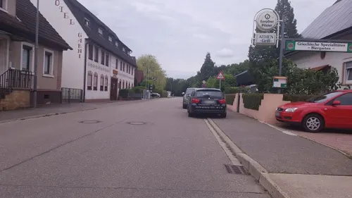
Café Erbolino
Cafe · Coffee Shop
5 Zufuhrstraße, Bietigheim
Mo,Tu,Th,Fr 09:00-18:00; We,Sa 09:00-13:00; PH off; Su off
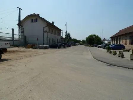

Zur Traube
Restaurant · Regional · 0.6 km
34 Rheinstraße, Bietigheim
Tu-Su 11:30-22:00 || "warme Küche bis 21:30"

Bäckerei Schröder
Bakery · 2.5 km
12 Kronenstraße, Ötigheim
Mo-Fr 05:00-18:00; Sa 05:00-12:00; Su 07:00-17:00
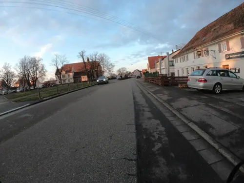
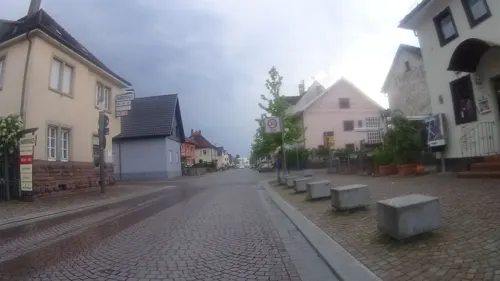
Bietigheimer Kepabhaus
Restaurant · Kebab
12 Badenstraße, Bietigheim
Mo-Fr 17:00-22:45; Sa 16:00-22:45; Su 11:00-22:45
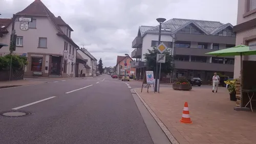


40 more on the map.
Where to stay6
Churches and places of worship9
Maria Bickesheim
Church · Roman Catholic · 3.6 km
147 Hauptstraße, Durmersheim
Shopping13
Gas and EV charging8
Schools, colleges and libraries5
Healthcare3
Apotheke am Bickesheimer Platz
Clinic and pharmacy · 3.4 km
133 Hauptstraße, Durmersheim
Map of Bietigheim
137 places. The map loads OpenStreetMap tiles when you open it.
Getting there and nearby towns
Airport Karlsruhe/Baden-Baden (FKB) is the nearest airport with scheduled flights listed in OpenStreetMap, 19 km away.
- Durmersheim 3 km north, about 3 min by car
- Muggensturm 5 km southeast, about 5 min by car
- Rastatt 6 km southwest, about 6 min by car
- Malsch 7 km southeast, about 7 min by car
- Rheinstetten 8 km northeast, about 8 min by car
- Kuppenheim 9 km south, about 9 min by car
- Ettlingen 12 km east, about 12 min by car
- Gaggenau 14 km southeast, about 14 min by car
- Karlsruhe 16 km northeast, about 16 min by car
- Baden-Baden 17 km south, about 17 min by car
Drive times are estimates from straight-line distance, not routes.
Local news
Headlines from INDB.
Reviews, tips and questions
Loading what members have shared...
Sources and licences
- GeoNames (CC BY 4.0): population, coordinates, regions and time zone
- Mapillary (see each image): photos
- OpenStreetMap contributors (ODbL 1.0): places, airports, map data
- Wikidata (CC0 1.0): elevation, founding date, time zone, website, landmarks and historic places
- Wikimedia Commons (see each image): photos
- Wikipedia (CC BY-SA 4.0): overview and history text
Photo credits
- Rathaus-Bietigheim-2013, Martin Dürrschnabel, CC BY-SA 3.0
- Hauptstraße Bietigheim, Martin Dürrschnabel, CC BY-SA 2.5
- Kindergarten Bietigheim St-Michael, Martin Dürrschnabel, CC BY-SA 2.5
- Kindergarten Bietigheim, Martin Dürrschnabel, CC BY-SA 2.5
- Rathausbrunnen-Bietigheim, Martin Dürrschnabel, CC BY-SA 3.0
- Eingang Rathaus-Bietigheim, Martin Dürrschnabel, CC BY-SA 3.0
- Rathaus Bietigheim, Martin Dürrschnabel, CC BY-SA 2.5
- DRK-Bietigheim, Martin Dürrschnabel, CC BY-SA 3.0
- Bietigheim-304-Badenstr-Nr16-2024-gje, Gerd Eichmann, CC BY 4.0
- Bietigheim-302-Badenstr-Nr18-16-2024-gje, Gerd Eichmann, CC BY 4.0
- Bietigheim mémorial 1870 Rheinstrasse1, Didivo67, CC BY-SA 4.0
- Bietigheim mémorial 1870 Rheinstrasse3, Didivo67, CC BY-SA 4.0
- Bietigheim mémorial 1870 Rheinstrasse2, Didivo67, CC BY-SA 4.0
- 360 Panorama-Bietigheim-Feuerwehr, Martin-Dürrschnabel, CC BY-SA 3.0
- Rheinstrasse Bietigheim, Martin Dürrschnabel, CC BY-SA 2.5
- 76467 Bietigheim, Germany - panoramio, Baden de, CC BY 3.0
- Bietigheim-Pfarrkirche Hl Kreuz-18-zum Chor-2024-gje, Gerd Eichmann, CC BY 4.0
- Bietigheim-Pfarrkirche Hl Kreuz-22-Chor-2024-gje, Gerd Eichmann, CC BY 4.0
- Bietigheim-Rathaus-04-2024-gje, Gerd Eichmann, CC BY 4.0
- Bietigheim-Rathaus-10-Rueckseite-2024-gje, Gerd Eichmann, CC BY 4.0
- Bietigheim-Rathaus-08-2024-gje, Gerd Eichmann, CC BY 4.0
- Bietigheim-Rathaus-06-2024-gje, Gerd Eichmann, CC BY 4.0
- Bietigheim-Rathaus-02-2024-gje, Gerd Eichmann, CC BY 4.0
- 76467 Bietigheim, Germany - panoramio (3), Baden de, CC BY 3.0
- Volksschauspiele Ötigheim (cropped), Martin Dürrschnabel, CC BY-SA 3.0
- 2014-11 Erinnerungsstätte a05, Ziko van Dijk, CC BY-SA 4.0
- Kiesgrube am Hardtwald Durmersheim NSG BW KA b, Günter Josef Radig, CC BY-SA 3.0
- Säule-Rastatt, Martin Dürrschnabel, CC BY-SA 3.0
- Oetigheim-St Michael-08-gje, Gerd Eichmann, CC BY-SA 4.0
- Oetigheim-Wendelinuskapelle-02-gje, Gerd Eichmann, CC BY-SA 4.0
- Kloster Maria Bickesheim, Gerhard Alberts, CC BY 2.5
- Pfarrkirche Heilig Kreuz Bietigheim, Martin Dürrschnabel, CC BY-SA 3.0
- Wuermersheim-Pfarrkirche Herz Jesu-04-2024-gje, Gerd Eichmann, CC BY 4.0
- Kiesgrube am Hardtwald Durmersheim NSG BW KA a, Günter Josef Radig, CC BY-SA 3.0
- Kreuz-Apotheke, Martin Dürrschnabel, CC BY-SA 3.0
- Ligusterbeeren - panoramio, Baden de, CC BY 3.0
- Ligusterbeeren - panoramio (1), Baden de, CC BY 3.0
- Schreinerhobel - panoramio, Baden de, CC BY 3.0
- Schreinerwerkzeug - panoramio (1), Baden de, CC BY 3.0
- Instrumentenbauer - panoramio, Baden de, CC BY 3.0
- Volksschauspiele Ötigheim, Martin Dürrschnabel, CC BY-SA 3.0
- PAMINA - Hardtmuseum - panoramio, DURMERSHEIM, CC BY 3.0
- Littlehampton Platz - panoramio, DURMERSHEIM, CC BY 3.0
- Street-level photo, nvbwseifert, CC BY-SA 4.0
- Street-level photo, changchun1, CC BY-SA 4.0
- Street-level photo, nvbwseifert, CC BY-SA 4.0
- Street-level photo, nakaner, CC BY-SA 4.0
- Street-level photo, wegatest, CC BY-SA 4.0
- Street-level photo, mathe-hilde, CC BY-SA 4.0
- Street-level photo, ramap, CC BY-SA 4.0
- Street-level photo, nakaner, CC BY-SA 4.0
- Street-level photo, nvbwseifert, CC BY-SA 4.0
- Street-level photo, changchun1, CC BY-SA 4.0
- Street-level photo, changchun1, CC BY-SA 4.0
- Street-level photo, changchun1, CC BY-SA 4.0
- Street-level photo, mfa, CC BY-SA 4.0
- Street-level photo, mathe-hilde, CC BY-SA 4.0
- Street-level photo, changchun1, CC BY-SA 4.0
- Street-level photo, changchun1, CC BY-SA 4.0
- Street-level photo, mfa, CC BY-SA 4.0
- Street-level photo, mathe-hilde, CC BY-SA 4.0
- Street-level photo, rhinemariner, CC BY-SA 4.0


Page built November 9, 2026. Spotted a mistake? Tell us or suggest a place.