


Why visit Rastatt
Townapedia lists 212 museums and landmarks, 24 parks and trails, 185 places to eat, 20 places to stay and 7 attractions in and around town.
Highlights include FORUM, Hofladen Reiß, Stadtmuseum and Erinnerungsstätte für die Freiheitsbewegungen in der deutschen Geschichte.
Weather in Rastatt
Forecast from MET Norway (CC BY 4.0). Full forecast
About Rastatt
Rastatt (German pronunciation: [ˈʁaʃtat] ) is a town in the district of Rastatt, Baden-Württemberg, Germany. It is located in the Upper Rhine Plain, on the Murg River, 6 km (3.7 mi) above its junction with the Rhine. It has a Baroque core and a population of around 51,000 (2022). Rastatt was an important place during the War of the Spanish Succession (Treaty of Rastatt) and the Revolutions of 1848 in the German states.
From the Wikipedia article Rastatt (this version), under CC BY-SA 4.0.
Travel tips from other travellers: Rastatt on Wikivoyage (CC BY-SA 4.0).
Things to do7
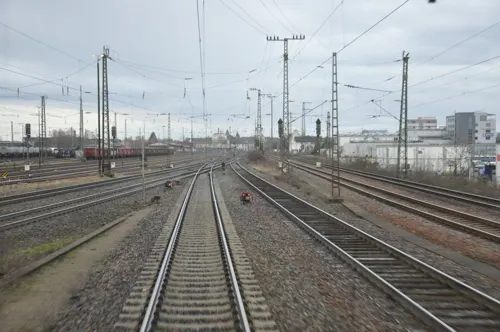

Hofladen Reiß
Farm and orchard · 4.3 km
1 Burnieweg, Baden-Baden
Apr-Sep Mo 08:00-19:00; Apr-Sep Sa 08:00-16:00; May-Jun Su,PH 09:00-14:00

Freilichtbühne Ötigheim
Cinema and theater · 3.2 km
Building in Ötigheim, Karlsruhe Government Region, Bade-Württemberg, Germany


Volksschauspiele kleine Bühne
Cinema and theater · 4.1 km
5 Kirchstraße, Ötigheim

Museums and landmarks212


Erinnerungsstätte für die Freiheitsbewegungen in der deutschen Geschichte
Museum
Museum for the German Revolution of 1848/1849 and the GDR Revolution
Mo-Su 09:30-17:00; Fr 09:30-14:00; Sa off

Schloss Favorite
Museum · 4.6 km
1 Am Schloss Favorite, Rastatt
Apr-Sep: Tu-Th 11:00-17:00; Fr-Su 10:00-17:00, Oct: Tu-Su,PH 11:00-16:00





200 more on the map.
Parks, trails and playgrounds24





Spielplatz am Nussbaum
Playground · 4.0 km
Kleiner Spielplatz mit Schaukeln, Tischtennis, Rutsche, großem Klettergerüst …
12 more on the map.
Restaurants and cafes185
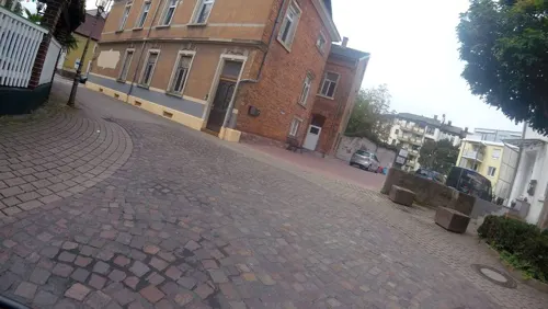

Da Niki
Restaurant · Italian Pizza, Italian · 0.7 km
10a Gartenstraße, Rastatt
Tu-Su 17:00-23:30, Su 12:00-14:30
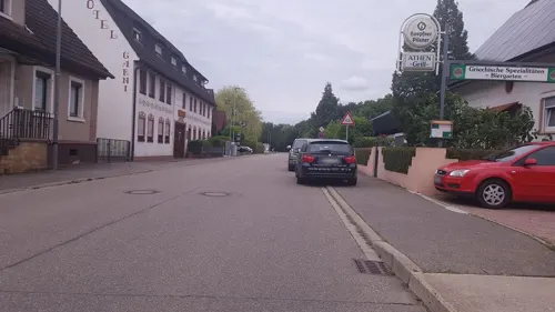
Bella Italia
Restaurant · Italian · 2.4 km
11 Weiherstraße, Rastatt
Mo-Sa 17:30-22:00; Tu off; Su,PH 11:30-14:30,17:30-22:00

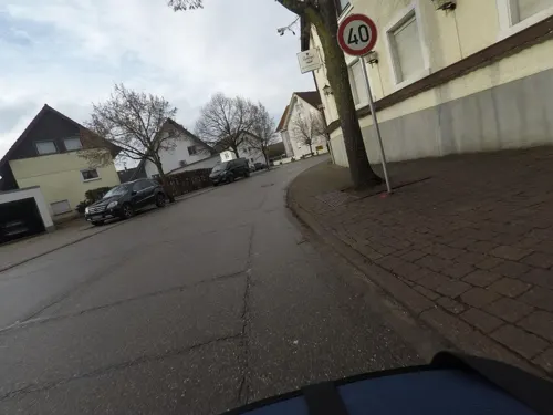
Casa Nostra
Restaurant · Italian, Pizza, Burger, Pasta · 4.8 km
93 Hauptstraße, Steinmauern
Tu,Sa 17:00-24:00; Su 11:00-14:00,17:00-24:00
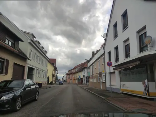
Da Mario
Restaurant · Italian · 4.7 km
84 Friedrichstraße, Kuppenheim
Mo-Sa 12:00-14:00,18:00+; Tu off; Su 12:00-14:00,17:15+
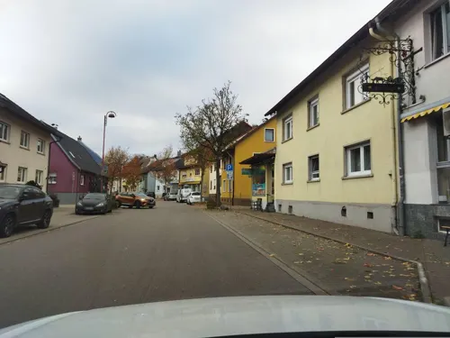
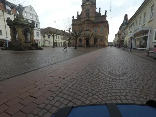


Fohlenweide
Restaurant · Hungarian · 1.9 km
92 Ötigheimer Weg, Rastatt
We-Fr 11:30-14:30,17:00-22:00; Sa,Su,PH 11:30-22:00
Gourmet Lin
Restaurant · Mongolian · 1.7 km
2 Zollersbühnstraße, Rastatt
Mo-Fr 11:30-15:00,17:30-23:30; Sa,Su 11:30-23:30
173 more on the map.
History
Until the end of the 17th century, Rastatt held little influence, but after its destruction by the French in 1689, it was rebuilt on a larger scale by Louis William, Margrave of Baden, the Imperial General in the Great Turkish War who was known popularly as Türkenlouis.
It then remained the residence of the Margraves of Baden-Baden until 1771. It was the location of the First and Second Congress of Rastatt, the former giving rise to the Treaty of Rastatt while the second ended in failure in 1799. In the 1840s, Rastatt was surrounded by fortifications to form the Fortress of Rastatt. For about 20 years previous to 1866, it was occupied by the troops of the German Confederation.
The Baden Revolution of 1849 began with a mutiny of soldiers at Rastatt in May 1849 under Ludwik Mieroslawski and Gustav Struve and ended there a few weeks later with the capture of the town by Prussia. (See The Revolutions of 1848 in the German states and History of Baden.) For some years, Rastatt was one of the strongest fortresses of the German Empire, but its fortifications were dismantled in 1890.
In the same year, the town's railway station was relocated closer to the centre of Rastatt from a location that was outside the town walls but is now an industrial area.
From the History section of Rastatt on Wikipedia, under CC BY-SA 4.0.
Where to stay20
Churches and places of worship36
Shopping41
Gas and EV charging14
Schools, colleges and libraries23
Healthcare15
Map of Rastatt
250 places. The map loads OpenStreetMap tiles when you open it.
Getting there and nearby towns
Airport Karlsruhe/Baden-Baden (FKB) is the nearest airport with scheduled flights listed in OpenStreetMap, 13 km away.
- Sinzheim 11 km south, about 11 min by car
- Karlsruhe 22 km northeast, about 22 min by car
- Pforzheim 36 km east, about 36 min by car
- Wildberg 47 km southeast, about 47 min by car
- Waghäusel 49 km northeast, about 49 min by car
- Weil der Stadt 50 km east, about 50 min by car
- Renningen 54 km east, about 54 min by car
- Rutesheim 54 km east, about 54 min by car
- Vaihingen an der Enz 56 km east, about 56 min by car
- Sindelfingen 62 km east, about 1 h by car
Drive times are estimates from straight-line distance, not routes.
Local news
Headlines from INDB.
Reviews, tips and questions
Loading what members have shared...
Sources and licences
- GeoNames (CC BY 4.0): population, coordinates, regions and time zone
- Mapillary (see each image): photos
- OpenStreetMap contributors (ODbL 1.0): places, airports, map data
- Wikidata (CC0 1.0): elevation, founding date, time zone, website, landmarks and historic places
- Wikimedia Commons (see each image): photos
- Wikipedia (CC BY-SA 4.0): overview and history text
Photo credits
- RastattUeberblickRichtungKaiserstrasse, Norbert Hüttisch, Karlsruhe, CC BY-SA 3.0
- Rastatt-Brauerei Franz-28-2023-gje, Gerd Eichmann, CC BY 4.0
- Rastatt-Brauerei Franz-26-2023-gje, Gerd Eichmann, CC BY 4.0
- Rastatt-Brauerei Franz-30-2023-gje, Gerd Eichmann, CC BY 4.0
- Rastatt-Brauerei Franz-32-2023-gje, Gerd Eichmann, CC BY 4.0
- Stolperstein Rastatt Sally Maier, Dd1gj, CC0
- Stolperstein Rastatt Siegbert Maier, Dd1gj, CC0
- Stolperstein Rastatt Simon Maier 1857, Dd1gj, CC0
- Stolpersteine Rastatt Familie Maier, Dd1gj, CC0
- Stolperstein Rastatt Rosel Maier, Dd1gj, CC0
- Stolperstein Rastatt Sofie Maier, Dd1gj, CC0
- Abbruch Hilperthof Rastatt ca. 1982-83 - panoramio (1), Besenbinder, CC BY-SA 3.0
- Abbruch Hilperthof Rastatt ca. 1982-83 - panoramio, Besenbinder, CC BY-SA 3.0
- Rastatt-Karlsruher Tor-06-2023-gje, Gerd Eichmann, CC BY 4.0
- Rastatt-Karlsruher Tor-04-2023-gje, Gerd Eichmann, CC BY 4.0
- Rastatt-Johannes von Nepomuk-Ludwigring-02-2023-gje, Gerd Eichmann, CC BY 4.0
- Rastatt-Johannes von Nepomuk-Ludwigring-04-2023-gje, Gerd Eichmann, CC BY 4.0
- Festungstor - RASTATT - Ludwigring - panoramio, geo pixel, CC BY 3.0
- Festungstor - RASTATT - panoramio, geo pixel, CC BY 3.0
- Rastatt-Brauerei Franz-24-Hofseite-2023-gje, Gerd Eichmann, CC BY 4.0
- Rastatt-Brauerei Franz-22-2023-gje, Gerd Eichmann, CC BY 4.0
- Rastatt-Brauerei Franz-20-2023-gje, Gerd Eichmann, CC BY 4.0
- Finanzamt Rastatt, Martin Dürrschnabel, CC BY-SA 3.0
- Rastatt-2760-Am Schlossplatz-Nr8-6-2023-gje, Gerd Eichmann, CC BY 4.0
- Rastatt-2770-Am Schlossplatz-Nr8-6-2023-gje, Gerd Eichmann, CC BY 4.0
- Rastatt-2780-Am Schlossplatz-Nr8-6-2023-gje, Gerd Eichmann, CC BY 4.0
- Rastatt-2730-Am Schlossplatz-Nr4-2023-gje, Gerd Eichmann, CC BY 4.0
- Rastatt-2720-Am Schlossplatz-Nr4-2023-gje, Gerd Eichmann, CC BY 4.0
- Rastatt-Schlosspark-Statue-04-Offizierskasino-2023-gje, Gerd Eichmann, CC BY 4.0
- Rastatt-2670-Am Schlossplatz-Nr2-2023-gje, Gerd Eichmann, CC BY 4.0
- Rastatt-2700-Am Schlossplatz-Nr2-Offizierskasino-2023-gje, Gerd Eichmann, CC BY 4.0
- Rastatt-2680-Am Schlossplatz-Nr2-Offizierskasino-2023-gje, Gerd Eichmann, CC BY 4.0
- Rastatt-2710-Am Schlossplatz-Nr2-Offizierskasino-2023-gje, Gerd Eichmann, CC BY 4.0
- Rastatt-Postamt-04-2023-gje, Gerd Eichmann, CC BY 4.0
- Volksschauspiele Ötigheim (cropped), Martin Dürrschnabel, CC BY-SA 3.0
- 2014-11 Erinnerungsstätte a05, Ziko van Dijk, CC BY-SA 4.0
- Seltz-St Etienne-02d-gje, Gerd Eichmann, CC BY-SA 4.0
- Aerial image of Schloss Rastatt (view from the southwest), Carsten Steger, CC BY-SA 4.0
- Bernharduskirche, Martin Dürrschnabel, CC BY-SA 2.5
- SchlossFavorite, BuzzWoof, Public domain
- Einsiedlerkapelle, Martin Dürrschnabel, CC BY-SA 3.0
- Muenchfeldstadion Rastatt, Sir Lucan, CC BY 3.0
- Evangelische Stadtkirche Rastatt, Martin Dürrschnabel, CC BY-SA 2.5
- White Hall Museum, Arkansas, 2021-10-09, TJ 01, Todd Johnson, CC BY-SA 4.0
- Sandheiden und Dünen bei Sandweier und Iffezheim IMGP7539, Rainer Lück 1RL.de, CC BY-SA 3.0
- Kuppenheim-St Sebastian-02-Nord-gje, Gerd Eichmann, CC BY-SA 4.0
- Riedkanal - NSG Rastatter Ried - IMGP7571, Rainer Lück 1RL.de, CC BY-SA 3.0
- Säule-Rastatt, Martin Dürrschnabel, CC BY-SA 3.0
- Im Rheinfeld - NSG Rastatter Bruch - IMGP7577, Rainer Lück 1RL.de, CC BY-SA 3.0
- Oetigheim-St Michael-08-gje, Gerd Eichmann, CC BY-SA 4.0
- Plittersdorf-St Jakobus-08-gje, Gerd Eichmann, CC BY-SA 4.0
- Rastatter Wasserturm, Brauerei C. Franz und die Murg (Nordschwarzwald), Martin Dürrschnabel, CC BY-SA 3.0
- Rastatt-Rheinau-Petrus-Kirche-02-2017-gje, Gerd Eichmann, CC BY-SA 4.0
- Rastatt-Rheinau-Wendelinus-Kapelle-06-2023-gje, Gerd Eichmann, CC BY-SA 4.0
- Westansicht Schloss Favorite Rastatt 2013 (2), Harke, CC BY-SA 3.0
- Stolperstein für Adolf Kahn (Kuppenheim), Christian Michelides, CC BY-SA 4.0
- Stolperstein für Alfred Maier (Kuppenheim), Francisco Peralta Torrejón, CC BY-SA 4.0
- Stolperstein für Amalie Herz 1 (Kuppenheim), Francisco Peralta Torrejón, CC BY-SA 4.0
- Stolperstein für Augusta Dreyfuss (Kuppenheim), Christian Michelides, CC BY-SA 4.0
- Stolperstein für Bertha Kahn (Kuppenheim), Christian Michelides, CC BY-SA 4.0
- Stolperstein für Charlotte Kahn (Kuppenheim), Christian Michelides, CC BY-SA 4.0
- Niederbuehl-St Laurentius-08-gje, Gerd Eichmann, CC BY-SA 4.0
- Rastatt Schloß DSCN0247, Oliverrode, CC BY-SA 3.0
- Volksschauspiele Ötigheim, Martin Dürrschnabel, CC BY-SA 3.0
- Schlosspark Favorite - RASTATT - panoramio (2), geo pixel, CC BY 3.0
- Street-level photo, nakaner, CC BY-SA 4.0
- Street-level photo, pic_nick, CC BY-SA 4.0
- Street-level photo, mfa, CC BY-SA 4.0
- Street-level photo, mfa, CC BY-SA 4.0
- Street-level photo, mfa, CC BY-SA 4.0
- Street-level photo, dns_vlpt, CC BY-SA 4.0
- Street-level photo, teddy73, CC BY-SA 4.0
- Street-level photo, mfa, CC BY-SA 4.0
- Street-level photo, dapiang, CC BY-SA 4.0
- Street-level photo, bct, CC BY-SA 4.0
- Street-level photo, mfa, CC BY-SA 4.0
- Street-level photo, changchun1, CC BY-SA 4.0
- Street-level photo, mfa, CC BY-SA 4.0
- Street-level photo, changchun1, CC BY-SA 4.0
- Street-level photo, mfa, CC BY-SA 4.0
- Street-level photo, changchun1, CC BY-SA 4.0
- Street-level photo, teddy73, CC BY-SA 4.0
- Street-level photo, mfa, CC BY-SA 4.0
- Street-level photo, mfa, CC BY-SA 4.0
- Street-level photo, m_mueller_65, CC BY-SA 4.0
- Street-level photo, rhinemariner, CC BY-SA 4.0


Page built November 8, 2026. Spotted a mistake? Tell us or suggest a place.