


Why visit Malsch
Townapedia lists 72 museums and landmarks, 20 parks and trails, 81 places to eat, 7 places to stay and 21 attractions in and around town.
Highlights include Mahlbergturm, Bad Rotenfels, Burgruine Waldenfels and Redoute.
Weather in Malsch
Forecast from MET Norway (CC BY 4.0). Full forecast
About Malsch
Malsch (German pronunciation: [malʃ]) is a municipality in the district of Karlsruhe, in Baden-Württemberg, Germany. It is situated 15 km south of Karlsruhe, and 10 km east of Rastatt, at the eastern border of the Upper Rhine Plain.
From the Wikipedia article Malsch (this version), under CC BY-SA 4.0.
Things to do21

Mahlbergturm
Scenic view · 6.2 km
Laut Website des Schwarzwaldvereins beträgt die Turmhöhe 28,5 m
24/7

Bad Rotenfels
Monument and historic site · 8.9 km
Quarter of Gaggenau, Baden-Württemberg, Germany

Freilichtbühne Ötigheim
Cinema and theater · 7.5 km
Building in Ötigheim, Karlsruhe Government Region, Bade-Württemberg, Germany




9 more on the map.
Museums and landmarks72



Völkersbacher Heimatmuseum
Museum · 4.8 km
Völkersbacher Heimatmuseum mit Schneiderstube
6 Gässle, Malsch
"nach Vereinbarung"

Bußkreuz
Monument and historic site · 3.9 km
Sage: J. Hatz ließ seine Pferde weiden; um sich die Pfeife anzünden zu können, legte er sich das Leitseil um den Hals. In diesem...
Bußkreuz
Monument and historic site · 4.3 km
Sage: 1. Kümmelfrau vom Blitz erschlagen. 2. Mann vom Heuwagen gefallen. 3. Bierführer vom Bierwagen 4. Feldwebel 1849 gefallen.


60 more on the map.
Parks, trails and playgrounds20

Freibad Malsch
Sports field and stadium · 1.6 km
Pandemie-Bedingte Öffnungsslots: Phase1: 9:30 Uhr bis 12:00 Uhr (200 Gäste) Phase2: 13:00 Uhr bis 16:00 Uhr (300 Gäste) Phase3: 17:00...
7 Hinterbach, Malsch
09:30-20:00



Kleinkinderspielplatz Malscher Straße Freizeitgelände
Playground · 3.9 km
08:00-20:00

8 more on the map.
Restaurants and cafes81
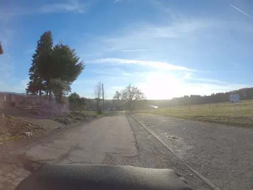
Waldgasthaus Rimmelsbacher Hof
Restaurant · Regional · 4.7 km
Küchenschluss: Fr/Sa 2000Uhr, So 1900Uhr
3, Malsch
Mo, Tu off; We, Th 12:00-17:00; Fr, Sa 12:00-21:00; Su 12:00-20:00
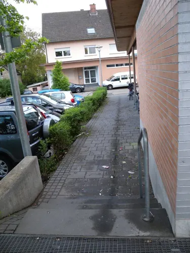
Alter Bahnhof Malsch
Restaurant · German · 1.0 km
2 Bahnhofstraße, Malsch
Mo,Tu 11:00-22:00; We-Sa 11:00-22:00; Su 10:00-22:00; PH 10:00-22:00

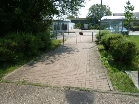
Café Erbolino
Cafe · Coffee Shop · 6.3 km
5 Zufuhrstraße, Bietigheim
Mo,Tu,Th,Fr 09:00-18:00; We,Sa 09:00-13:00; PH off; Su off
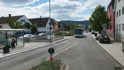
Hellas Salute
Restaurant · Greek · 5.0 km
1 Schwarzwaldhochstraße, Malsch
Mo-Sa 17:00-22:00; PH,Su 12:00-21:00


Hoang
Restaurant · Asian, Sushi · 1.7 km
19a Daimlerstraße, Malsch
Mo-Fr 11:00-14:30,17:00-23:00; Sa,Su,PH 12:00-23:00
Kouros am See
Restaurant · Greek · 4.8 km
48 Seestraße, Ettlingen
Tu-Sa 17:00-23:00; Su,PH 11:30-14:30,17:00-21:00
Pizzeria Alter Jahn
Restaurant · Italian · 5.9 km
18 Dorfwiesenstraße, Ettlingen
Tu-Sa 17:00-23:00; PH,Su 11:30-23:00; Mo off
Ristorante Pizzeria del Parco
Restaurant · Italian · 3.8 km
5 Am Freizeitgelände, Muggensturm
Mo off; Tu-Th 11:00-14:00,17:30-21:30; Fr 11:00-14:00,17:00-22:00;...
Sonneneck
Restaurant · 3.2 km
Event-Restaurant für Veranstaltungen und Festlichkeiten. Kein a la carte Restaurant mit festen Öffnungszeiten.
22 Walter-Foerster-Straße, Malsch
"nur nach Vereinbarung"
69 more on the map.
Where to stay7
Churches and places of worship23
Shopping15
Gas and EV charging7
Schools, colleges and libraries9
Healthcare6
Reha-Klinik Freiolsheim Psychosoziales Zentrum
Hospital · 5.5 km
55 Max-Hildebrandt-Straße, Gaggenau
Map of Malsch
250 places. The map loads OpenStreetMap tiles when you open it.
Getting there and nearby towns
Airport Karlsruhe/Baden-Baden (FKB) is the nearest airport with scheduled flights listed in OpenStreetMap, 22 km away.
- Rastatt 9 km west, about 9 min by car
- Karlsruhe 15 km north, about 15 min by car
- Sinzheim 18 km southwest, about 18 min by car
- Pforzheim 27 km east, about 27 min by car
- Mühlacker 37 km east, about 37 min by car
- Philippsburg 40 km north, about 40 min by car
- Oberderdingen 40 km northeast, about 40 min by car
- Weil der Stadt 42 km east, about 42 min by car
- Waghäusel 43 km north, about 43 min by car
- Oberkirch 43 km southwest, about 43 min by car
Drive times are estimates from straight-line distance, not routes.
Local news
Headlines from INDB.
Reviews, tips and questions
Loading what members have shared...
Sources and licences
- GeoNames (CC BY 4.0): population, coordinates, regions and time zone
- Mapillary (see each image): photos
- OpenStreetMap contributors (ODbL 1.0): places, airports, map data
- Wikidata (CC0 1.0): elevation, founding date, time zone, website, landmarks and historic places
- Wikimedia Commons (see each image): photos
- Wikipedia (CC BY-SA 4.0): overview and history text
Photo credits
- Malsch-St Cyriak-16-gje, Gerd Eichmann, CC BY-SA 4.0
- Malsch, Hauptstraße - panoramio (1), Baden de, CC BY 3.0
- Malsch, Hauptstraße - panoramio (2), Baden de, CC BY 3.0
- Malsch, Entdolung Lindenhardterwegbach (oben) & Entlastungsgraben (unten) (3), Hozro, CC0
- Federbach, Malsch, Hozro, CC0
- SWV Wegweiser KAMA033 Malsch Am Federbach, Karthoo, CC0
- Mühlenplatz Malsch - panoramio, geo pixel, CC BY 3.0
- Stadt - Mühle - Malsch - panoramio (1), Baden de, CC BY 3.0
- Stadt - Mühle - Malsch - panoramio, Baden de, CC BY 3.0
- Stadtmühle Malsch - panoramio, geo pixel, CC BY 3.0
- Stadtmühle Malsch - panoramio (1), geo pixel, CC BY 3.0
- Malsch, Germany - panoramio (4), Baden de, CC BY 3.0
- Lindenhardterwegbach, Malsch Sezannerstraße, Hozro, CC0
- Malsch am Kirchplatz - panoramio, Baden de, CC BY 3.0
- St. Cyriak Malsch - panoramio, Baden de, CC BY 3.0
- Malsch am Kirchplatz - panoramio (1), Baden de, CC BY 3.0
- MALSCH Amtfeldstraße - panoramio, Baden de, CC BY 3.0
- Marienhaus Malsch - panoramio, Baden de, CC BY 3.0
- Rathaus Malsch - panoramio, Baden de, CC BY 3.0
- Rathaus Malsch - panoramio (3), Baden de, CC BY 3.0
- Rathaus Malsch - panoramio (1), Baden de, CC BY 3.0
- Rathaus Malsch - panoramio (2), Baden de, CC BY 3.0
- Marienhaus Malsch - panoramio (1), Baden de, CC BY 3.0
- Rheintal Radweg bei Malsch - panoramio, Baden de, CC BY 3.0
- Bad Rotenfels-St Laurentius-04-gje, Gerd Eichmann, CC BY-SA 4.0
- Volksschauspiele Ötigheim (cropped), Martin Dürrschnabel, CC BY-SA 3.0
- Burg Waldenfels - panoramio, Portal, CC BY-SA 3.0
- Federbachbruch, Sir Lucan, CC BY-SA 3.0
- Mahlberg (Gaggenau) Winter IMGP4841, Sitacuisses, CC BY-SA 3.0
- Kiesgrube am Hardtwald Durmersheim NSG BW KA b, Günter Josef Radig, CC BY-SA 3.0
- Mercedes-Benz Werk Gaggenau IMGP0037, Rainer Lück 1RL.de, CC BY-SA 4.0
- Glasbächle Krebsbächle und Farlickwiesen NSG BW KA, Günter Josef Radig, CC BY-SA 3.0
- Oberweier-St Johannes-04-gje, Gerd Eichmann, CC BY-SA 4.0
- Malsch-St Bernhard-02-gje, Gerd Eichmann, CC BY-SA 4.0
- Malsch-St Cyriak-18-gje, Gerd Eichmann, CC BY-SA 4.0
- Waldprechtsweier-St Michael-08-gje, Gerd Eichmann, CC BY-SA 4.0
- Muggensturm-Maria Koenigin der Engel-04-gje, Gerd Eichmann, CC BY-SA 4.0
- Mahlbergturm, Unknown author, CC BY-SA 2.5
- Völkersbach Kirche St. Georg - panoramio, Augenstein, CC BY-SA 3.0
- Muggensturm-Margarethenkapelle-06-2023-gje, Gerd Eichmann, CC BY-SA 4.0
- Stolperstein Muggensturm Frieda Heimann, Dd1gj, CC0
- Stolperstein Muggensturm Herbert Ludwig Heimann, Dd1gj, CC0
- Stolperstein Muggensturm Hilde Schrag, Dd1gj, CC0
- Stolperstein Muggensturm Karl Hornung, Dd1gj, CC0
- Stolperstein Muggensturm Lorenz Knapp, Dd1gj, CC0
- Stolperstein Muggensturm Margarethe Hummell, Dd1gj, CC0
- Stolperstein Muggensturm Mathilde Heimann, Dd1gj, CC0
- Ettlinger Linie Stich 1857 nach Riecke 1734, „L. K.“, Public domain
- Tiergehege-Muggensturm, Martin Dürrschnabel, CC BY-SA 3.0
- Street-level photo, nakaner, CC BY-SA 4.0
- Street-level photo, bct, CC BY-SA 4.0
- Street-level photo, nvbwseifert, CC BY-SA 4.0
- Street-level photo, bct, CC BY-SA 4.0
- Street-level photo, nakaner, CC BY-SA 4.0
- Street-level photo, nvbwseifert, CC BY-SA 4.0
- Street-level photo, ramap, CC BY-SA 4.0
- Street-level photo, tasmaniadevil, CC BY-SA 4.0
- Street-level photo, nvbwseifert, CC BY-SA 4.0
- Street-level photo, mfa, CC BY-SA 4.0
- Street-level photo, wegatest, CC BY-SA 4.0
- Street-level photo, plexi32, CC BY-SA 4.0
- Street-level photo, nakaner, CC BY-SA 4.0
- Street-level photo, mfa, CC BY-SA 4.0


Page built November 8, 2026. Spotted a mistake? Tell us or suggest a place.