


Durmersheim, Germany
Durmersheim is a town of 11,675 people in Baden-Wurttemberg, Germany, founded in 700.
Why visit Durmersheim
Townapedia lists 17 museums and landmarks, 29 parks and trails, 84 places to eat, 6 places to stay and 3 attractions in and around town.
Highlights include Freilichtbühne Ötigheim, Hofladen Gehrer, Hardtmuseum and Museum für Siedlungsgeschichte im PAMINA-Raum.
Weather in Durmersheim
Forecast from MET Norway (CC BY 4.0). Full forecast
About Durmersheim
Durmersheim is a small town in the district of Rastatt, Baden-Württemberg, Southwest Germany and has a population of 12,112 (2020).
From the Wikipedia article Durmersheim (this version), under CC BY-SA 4.0.
Things to do3

Freilichtbühne Ötigheim
Cinema and theater · 6.2 km
Building in Ötigheim, Karlsruhe Government Region, Bade-Württemberg, Germany

Museums and landmarks17



Easternmost point of mainland France
Monument and historic site · 4.6 km

Gefallenendenkmal Durmersheim
Monument and historic site
Das Gefallenendenkmal Durmersheim für die Gefallenen des Ersten Weltkrieges (1914 bis 1918) aus Durmersheim ist in Form einer Kapelle gestaltet.
Gräberfeld für die Opfer des Zweiten Weltkrieges
Monument and historic site · 3.8 km
Gräberfeld für die Opfer des Zweiten Weltkrieges
Denkmal für die Rheinstettener Opfer der "Euthanasie"-Verbrechen
Monument and historic site · 3.5 km
5 more on the map.
Parks, trails and playgrounds29







17 more on the map.
Restaurants and cafes84
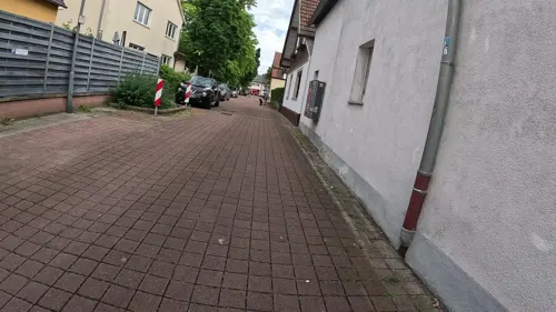
Akropolis
Restaurant · Greek · 3.6 km
3 Forchheimer Straße, Rheinstetten
Tu-Su 11:30-14:00,17:30-24:00; Sa 17:30-24:00

Beim Bruderbund
Restaurant · Regional · 3.7 km
3 Jakobstraße, Rheinstetten
Mo-Fr 17:00-23:00; We off; Sa,Su 11:00-14:00,17:00-21:00
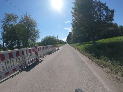
Beim Jannis
Restaurant · Greek · 2.9 km
101 Keplerstraße, Rheinstetten
Mo,Tu,Th-Sa 17:00-22:00; Su,PH 12:00-15:00,16:30-22:00; We off
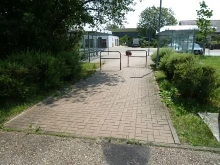
Café Erbolino
Cafe · Coffee Shop · 2.6 km
5 Zufuhrstraße, Bietigheim
Mo,Tu,Th,Fr 09:00-18:00; We,Sa 09:00-13:00; PH off; Su off
Da Gino
Restaurant · Italian · 3.5 km
53 Rheinaustraße, Rheinstetten
Tu-Fr 11:30-14:30,17:00-23:30; Sa 17:00-23:30; Su 11:30-14:30,17:00-22:00
Food Factory
Restaurant · Pizza, Turkish · 3.6 km
13 Große Kirchenstraße, Rheinstetten
Tu-Th 11:30-21:00; Fr-Su 11:30-22:00
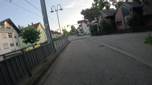
Giebelstuben
Restaurant · 4.4 km
2 Maxauer Straße, Rheinstetten
We-Fr 17:00-22:00, Sa 14:00-22:00, Su 17:00-22:00


Restaurant TV Mörsch
Restaurant · Mediterranean · 4.4 km
4 Am Sportpark, Rheinstetten
Tu-Su 11:00-14:30, 17:00-24:00
Shin
Restaurant · Sushi, Asian · 1.4 km
2 Hans-Thoma-Straße, Durmersheim
Tu-Su 11:30-15:00,17:00-22:00
Zur Traube
Restaurant · Regional · 2.7 km
34 Rheinstraße, Bietigheim
Tu-Su 11:30-22:00 || "warme Küche bis 21:30"
72 more on the map.
History
Founded about 600 BC, the city was occupied by duke Otto of Worms in 985. Since 1300 Durmersheim belonged to the margraves of Baden.
As Germany was subdued and divided into control zones by the Allied forces after World War II, the border of the French zone and American zone was between Durmersheim and Rheinstetten.
From the History section of Durmersheim on Wikipedia, under CC BY-SA 4.0.
Where to stay6
Churches and places of worship15
Heilig Kreuz
Church · Roman Catholic · 2.6 km
33 Kirchstraße, Bietigheim
Maria Bickesheim
Church · Roman Catholic · 0.7 km
147 Hauptstraße, Durmersheim
Evangelisches Gemeindezentrum Mörsch
Church · Protestant · 3.2 km
40 Bachstraße, Rheinstetten
Shopping19
Gas and EV charging7
Schools, colleges and libraries10
Healthcare7
Apotheke am Bickesheimer Platz
Clinic and pharmacy · 0.6 km
133 Hauptstraße, Durmersheim
Map of Durmersheim
197 places. The map loads OpenStreetMap tiles when you open it.
Getting there and nearby towns
Airport Karlsruhe/Baden-Baden (FKB) is the nearest airport with scheduled flights listed in OpenStreetMap, 22 km away.
- Malsch 7 km southeast, about 7 min by car
- Rastatt 9 km southwest, about 9 min by car
- Ettlingen 10 km east, about 10 min by car
- Karlsruhe 13 km northeast, about 13 min by car
- Gaggenau 16 km south, about 16 min by car
- Gernsbach 19 km south, about 19 min by car
- Eggenstein-Leopoldshafen 20 km northeast, about 20 min by car
- Sinzheim 20 km south, about 20 min by car
- Pforzheim 32 km east, about 32 min by car
- Philippsburg 36 km northeast, about 36 min by car
Drive times are estimates from straight-line distance, not routes.
Local news
Headlines from INDB.
Reviews, tips and questions
Loading what members have shared...
Sources and licences
- GeoNames (CC BY 4.0): population, coordinates, regions and time zone
- Mapillary (see each image): photos
- OpenStreetMap contributors (ODbL 1.0): places, airports, map data
- Wikidata (CC0 1.0): elevation, founding date, time zone, website, landmarks and historic places
- Wikimedia Commons (see each image): photos
- Wikipedia (CC BY-SA 4.0): overview and history text
Photo credits
- Durmersheim - panoramio (6), DURMERSHEIM, CC BY 3.0
- Durmersheim - panoramio (5), DURMERSHEIM, CC BY 3.0
- Durmersheim - panoramio (7), DURMERSHEIM, CC BY 3.0
- Durmersheim - panoramio (8), DURMERSHEIM, CC BY 3.0
- Durmersheim zwischen Brunnen- und Bachstraße - panoramio, DURMERSHEIM, CC BY 3.0
- Durmersheim am Pamina Rheinpark - panoramio, DURMERSHEIM, CC BY 3.0
- Durmersheim - panoramio (16), DURMERSHEIM, CC BY 3.0
- Durmersheim-202-Brunnenstr-Nr44-2024-gje, Gerd Eichmann, CC BY 4.0
- Durmersheim-204-Brunnenstr-Nr44-2024-gje, Gerd Eichmann, CC BY 4.0
- Durmersheim-404-Brunnenstr-Nr40-2024-gje, Gerd Eichmann, CC BY 4.0
- Durmersheim-406-Brunnenstr-Nr40-2024-gje, Gerd Eichmann, CC BY 4.0
- Durmersheim - Brunnenstraße - panoramio (4), DURMERSHEIM, CC BY 3.0
- Durmersheim - Brunnenstraße - panoramio (5), DURMERSHEIM, CC BY 3.0
- Durmersheim - Alter Ortskern - panoramio, DURMERSHEIM, CC BY 3.0
- Durmersheim - Alter Ortskern - panoramio (1), DURMERSHEIM, CC BY 3.0
- Oelberg Brunnen im alten Ortskern von Durmersheim - panoramio, DURMERSHEIM, CC BY 3.0
- Durmersheim - Brunnenstraße - panoramio (6), DURMERSHEIM, CC BY 3.0
- Durmersheim - Brunnenstraße - panoramio (3), DURMERSHEIM, CC BY 3.0
- Ev. Kreuzkirche Durmersheim - panoramio, DURMERSHEIM, CC BY 3.0
- Durmersheim-234-Hauptstr-Nr87-2024-gje, Gerd Eichmann, CC BY 4.0
- Durmersheim-232-Hauptstr-Nr87-2024-gje, Gerd Eichmann, CC BY 4.0
- Durmersheim-252-Hauptstr-Nr132-Zum Engel-2024-gje, Gerd Eichmann, CC BY 4.0
- Durmersheim-244-Hauptstr-Nr132-Zum Engel-2024-gje, Gerd Eichmann, CC BY 4.0
- Durmersheim-246-Hauptstr-Nr132-Zum Engel-2024-gje, Gerd Eichmann, CC BY 4.0
- Volksschauspiele Ötigheim (cropped), Martin Dürrschnabel, CC BY-SA 3.0
- Kloster Maria Bickesheim, Gerhard Alberts, CC BY 2.5
- Seitel 03, Joachim Lutz, CC BY-SA 4.0
- Kiesgrube am Hardtwald Durmersheim NSG BW KA b, Günter Josef Radig, CC BY-SA 3.0
- Rheinniederung zwischen Au am Rhein Durmersheim und Rheinstetten NSG BW KA b, Günter Josef Radig, CC BY-SA 3.0
- Bremengrund NSG BW KA a, Günter Josef Radig, CC BY-SA 3.0
- Pfarrkirche Heilig Kreuz Bietigheim, Martin Dürrschnabel, CC BY-SA 3.0
- St Ulrich - Mörsch -001, DALIBRI, CC BY-SA 4.0
- St Ursula - Neuburgweier - alte Kirche 000, DALIBRI, CC BY-SA 4.0
- St Ursula - Neuburgweier - kath Pfarrkirche 001, DALIBRI, CC BY-SA 4.0
- Wuermersheim-Pfarrkirche Herz Jesu-04-2024-gje, Gerd Eichmann, CC BY 4.0
- Kiesgrube am Hardtwald Durmersheim NSG BW KA a, Günter Josef Radig, CC BY-SA 3.0
- Seitel 01, Joachim Lutz, CC BY-SA 4.0
- Wohnanlage am Federbach - panoramio, DURMERSHEIM, CC BY 3.0
- Pfingstrose - panoramio, DURMERSHEIM, CC BY 3.0
- Pfingstrose - panoramio (3), DURMERSHEIM, CC BY 3.0
- PAMINA - Hardtmuseum - panoramio, DURMERSHEIM, CC BY 3.0
- Bietigheim-Breitestr-Kalbert-Kreuz-02-2024-gje, Gerd Eichmann, CC BY 4.0
- Herbst im Rottlichwald - panoramio (2), DURMERSHEIM, CC BY 3.0
- Street-level photo, nvbwseifert, CC BY-SA 4.0
- Street-level photo, nvbwseifert, CC BY-SA 4.0
- Street-level photo, marwe, CC BY-SA 4.0
- Street-level photo, marwe, CC BY-SA 4.0
- Street-level photo, marwe, CC BY-SA 4.0
- Street-level photo, marwe, CC BY-SA 4.0
- Street-level photo, nakaner, CC BY-SA 4.0
- Street-level photo, mathe-hilde, CC BY-SA 4.0
- Street-level photo, marwe, CC BY-SA 4.0
- Street-level photo, marwe, CC BY-SA 4.0
- Street-level photo, mfa, CC BY-SA 4.0
- Street-level photo, marwe, CC BY-SA 4.0
- Street-level photo, changchun1, CC BY-SA 4.0
- Street-level photo, nakaner, CC BY-SA 4.0
- Street-level photo, ramap, CC BY-SA 4.0
- Street-level photo, marwe, CC BY-SA 4.0
- Street-level photo, mfa, CC BY-SA 4.0
- Street-level photo, mfa, CC BY-SA 4.0
- Street-level photo, marwe, CC BY-SA 4.0


Page built November 8, 2026. Spotted a mistake? Tell us or suggest a place.