


Why visit Birgte
Townapedia lists 10 museums and landmarks, 6 parks and trails, 12 places to eat, 3 places to stay and 4 attractions in and around town.
Highlights include Hofladen Junge-Bornholt KG, Birgter Berg, Bevergern Castle and Kalköfen.
Weather in Birgte
Forecast from MET Norway (CC BY 4.0). Full forecast
About Birgte
Birgte is a village in the German state of North Rhine-Westphalia; it is part of the district of Riesenbeck and the town of Hörstel, and may be referred to as Hörstel-Birgte as a result. It is located at the north edge of the Teutoburger Forest Its roots go back until 1800 BC as an old farming area. First known written mention of Birgte is dated 1088 AD when single farms dominated the area.
From the Wikipedia article Birgte (this version), under CC BY-SA 4.0.
Things to do4

Hofladen Junge-Bornholt KG
Farm and orchard · 2.4 km
115 Emsdettener Straße, Hörstel
Mo-Fr 08:00-18:30; Sa-Su 08:00-18:00


Museums and landmarks10


Dreihasenstein
Monument and historic site · 2.2 km
Steht auf der Grenze des alten Gutes Grone, die drei Hasen sind das Firmenlogo der Stärkefabrik Crespel und Deiters, die 1929 das Gut...


Parks, trails and playgrounds6



Restaurants and cafes12
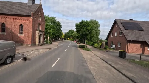
Gaststätte Ottenhues
Bar and pub
24 Tecklenburger Straße, Hörstel
Mo,Tu,Th-Sa 17:00-24:00+; Su 16:00-18:00+
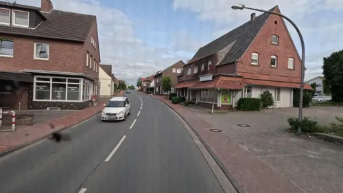
Pizzeria Venezia
Restaurant · Italian, Pizza · 2.1 km
1 Bevergerner Straße, Hörstel
Mo-Th 17:00-22:00; Fr-Sa 17:00-23:00; Su 17:00-22:00
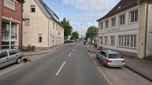
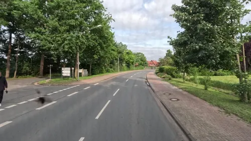
Gaststätte Feldmann
Bar and pub
156 Münsterstraße, Hörstel
We-Sa 17:00-22:30; Su 11:30-22:30
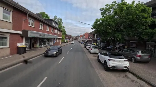
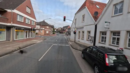
Pizzeria Bella Donna
Restaurant · Pizza · 2.0 km
3 Heinrich-Niemeyer-Straße, Hörstel
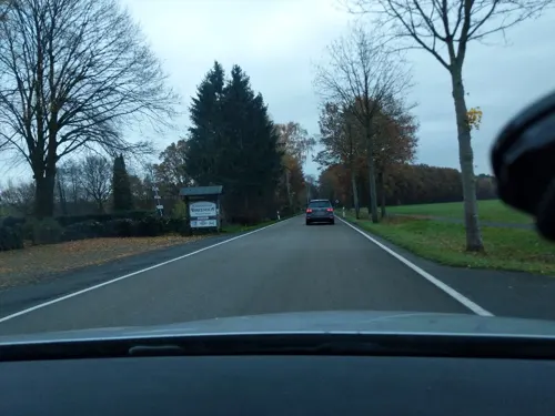

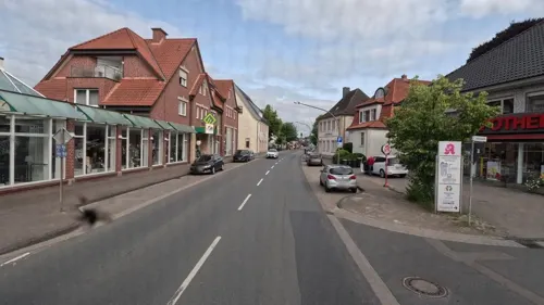
Saigon Wok
Fast food · Vietnamese, Asian · 1.8 km
46 Heinrich-Niemeyer-Straße, Hörstel
Mo-Su 11:30-14:30, 17:30-22:00


Where to stay3
Churches and places of worship3
Shopping4
Gas and EV charging2
Schools, colleges and libraries2
Healthcare2
Reinhildis Apotheke
Clinic and pharmacy · 2.0 km
11 Heinrich-Niemeyer-Straße, Hörstel
Map of Birgte
48 places. The map loads OpenStreetMap tiles when you open it.
Getting there and nearby towns
Münster Osnabrück Airport (FMO) is the nearest airport with scheduled flights listed in OpenStreetMap, 13 km away.
- Hörstel 7 km northwest, about 7 min by car
- Saerbeck 8 km south, about 8 min by car
- Emsdetten 12 km southwest, about 12 min by car
- Mettingen 12 km northeast, about 12 min by car
- Tecklenburg 12 km east, about 12 min by car
- Rheine 15 km west, about 15 min by car
- Recke 14 km north, about 14 min by car
- Ladbergen 15 km southeast, about 15 min by car
- Lengerich 16 km southeast, about 16 min by car
- Greven 18 km south, about 18 min by car
Drive times are estimates from straight-line distance, not routes.
Local news
Headlines from INDB.
Reviews, tips and questions
Loading what members have shared...
Sources and licences
- GeoNames (CC BY 4.0): population, coordinates, regions and time zone
- Mapillary (see each image): photos
- OpenStreetMap contributors (ODbL 1.0): places, airports, map data
- Wikidata (CC0 1.0): elevation, founding date, time zone, website, landmarks and historic places
- Wikimedia Commons (see each image): photos
- Wikipedia (CC BY-SA 4.0): overview and history text
Photo credits
- Birgter Bruecke 03, J.-H. Janßen, CC BY-SA 3.0
- Birgter Bruecke 01, J.-H. Janßen, CC BY-SA 3.0
- Birgter Bruecke 02, J.-H. Janßen, CC BY-SA 3.0
- Zeichnung Burg Bevergern, H.P-Marquard, CC BY-SA 3.0 de
- BirgterBergGipfel, Stefan Brüggemann, CC BY-SA 3.0
- Riesenbeck St Kalixtus 02, J.-H. Janßen, CC BY-SA 3.0
- Garten Loismann 02, Snirtje, CC BY-SA 4.0
- Birgte-Kapelle, Zumthie, Public domain
- Doerenthe Kalkwerk Breckweg 02, J.-H. Janßen, CC BY-SA 3.0
- Ibbenbueren Dreihasenstein 01, J.-H. Janßen, CC BY-SA 4.0
- Ibbenbueren Christuskirche 06, Jan-Herm Janßen, CC BY-SA 4.0
- Garten Loismann 03, Snirtje, CC BY-SA 4.0
- Kleiner Kohlweißling auf Acker-Kratzdistel (9394111710), Sascha Kohlmann from Berlin, Deutschland, CC BY-SA 2.0
- Große Eintagsfliege, Sascha Kohlmann, CC BY-SA 2.0
- Voßhaar 25 - panoramio, ☃ Sascha Kohlmann, CC BY-SA 3.0
- Voßhaar Ecke Schnellebrinks Wall - panoramio, ☃ Sascha Kohlmann, CC BY-SA 3.0
- Schnellebrinks Wall 186 - panoramio, ☃ Sascha Kohlmann, CC BY-SA 3.0
- Schnellebrinks Wall 186 - panoramio (1), ☃ Sascha Kohlmann, CC BY-SA 3.0
- Voßhaar 44 - panoramio, ☃ Sascha Kohlmann, CC BY-SA 3.0
- Riesenbeck VR Bank 01, J.-H. Janßen, CC BY-SA 4.0
- Riesenbeck St Elisabeth Haus 02, J.-H. Janßen, CC BY-SA 3.0
- Riesenbeck St Elisabeth Haus 03, J.-H. Janßen, CC BY-SA 3.0
- Riesenbeck St Elisabeth Haus 05, J.-H. Janßen, CC BY-SA 3.0
- Riesenbeck St Elisabeth Haus 04, J.-H. Janßen, CC BY-SA 3.0
- Riesenbeck Adolph Kolping Haus 01, J.-H. Janßen, CC BY-SA 3.0
- Riesenbeck Niemeyer Platz 03, J.-H. Janßen, CC BY-SA 4.0
- Riesenbeck Niemeyer Platz 01, J.-H. Janßen, CC BY-SA 4.0
- Riesenbeck Niemeyer Platz 04, J.-H. Janßen, CC0
- Riesenbeck Adolph Kolping Haus 02, J.-H. Janßen, CC0
- Riesenbeck Niemeyer Platz 06, J.-H. Janßen, CC BY-SA 4.0
- Riesenbeck Niemeyer Platz 05, J.-H. Janßen, CC BY-SA 4.0
- Riesenbeck Niemeyer Platz 02, J.-H. Janßen, CC BY-SA 4.0
- Riesenbeck Hospitalstrasse 1, J.-H. Janßen, CC BY-SA 3.0
- Riesenbeck Katholischer Friedhof Missionskreuz 02, J.-H. Janßen, CC BY-SA 3.0
- Riesenbeck Katholischer Friedhof Grab Werner Witthuhn 01, J.-H. Janßen, CC0
- Riesenbeck Katholischer Friedhof Grab Werner Witthuhn 02, J.-H. Janßen, CC0
- Riesenbeck Katholischer Friedhof Missionskreuz 01, J.-H. Janßen, CC BY-SA 3.0
- Riesenbeck Feuerwache 01, J.-H. Janßen, CC BY-SA 3.0
- Riesenbeck Feuerwache 03, J.-H. Janßen, CC0
- Street-level photo, bct, CC BY-SA 4.0
- Street-level photo, bct, CC BY-SA 4.0
- Street-level photo, deleted_user, CC BY-SA 4.0
- Street-level photo, bct, CC BY-SA 4.0
- Street-level photo, bct, CC BY-SA 4.0
- Street-level photo, bct, CC BY-SA 4.0
- Street-level photo, bct, CC BY-SA 4.0
- Street-level photo, nesshof, CC BY-SA 4.0
- Street-level photo, bct, CC BY-SA 4.0
- Street-level photo, bct, CC BY-SA 4.0
- Street-level photo, bct, CC BY-SA 4.0
- Street-level photo, deleted_user, CC BY-SA 4.0
- Street-level photo, nesshof, CC BY-SA 4.0
- Street-level photo, bct, CC BY-SA 4.0


Page built November 9, 2026. Spotted a mistake? Tell us or suggest a place.