


Why visit Hörstel
Townapedia lists 44 museums and landmarks, 35 parks and trails, 82 places to eat, 9 places to stay and 14 attractions in and around town.
Highlights include Hofladen Lensing-Bäumer, Hofladen Junge-Bornholt KG, Bevergern Castle and Dreihüsken achtern Diek.
Weather in Hörstel
Forecast from MET Norway (CC BY 4.0). Full forecast
About Hörstel
Hörstel (German pronunciation: [ˈhœʁstl̩] ; Low German: Hüörsel) is a town in the district of Steinfurt, in North Rhine-Westphalia, Germany. It is situated near the junction of the Mittellandkanal and the Dortmund-Ems Canal, approx. 10 km east of Rheine.
From the Wikipedia article Hörstel (this version), under CC BY-SA 4.0.
Things to do14

Hofladen Lensing-Bäumer
Farm and orchard · 6.6 km
58 Hopstener Straße, Ibbenbüren
Mo 14:00-18:00; Tu-Fr 08:00-12:30,14:00-18:00; Sa 08:00-13:00; Su off
Hofladen Junge-Bornholt KG
Farm and orchard · 5.1 km
115 Emsdettener Straße, Hörstel
Mo-Fr 08:00-18:30; Sa-Su 08:00-18:00


Hofladen Mersch
Farm and orchard · 8.2 km
Schwennenbrügge, Hopsten
Mo-Fr 07:00-20:00; Sa-Su 08:00-20:00


Aussichtspunkt Schleuse Bevergern
Scenic view · 2.3 km
Aussichtsplattform der Schleuse Bevergern mit Infotafeln
2 more on the map.
Museums and landmarks44






Labyrinth „Waiting for the Barbarians“
Monument and historic site · 2.9 km
Labyrinth, Waiting For The Barbarians
sunrise-sunset


Gedenkkreuz für den Mord an Antonius Veltmann
Monument and historic site · 6.8 km
32 more on the map.
Parks, trails and playgrounds35




23 more on the map.
Restaurants and cafes82
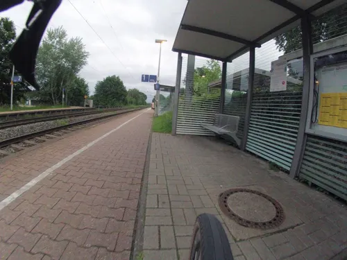
Xtra Gleis
Restaurant · German
52 Bahnhofstraße, Hörstel
Mo off; Tu-Fr 17:00-22:30; Sa 14:30-22:30; Su 09:30-21:00

AKZENT Hotel Saltenhof
Restaurant · German · 3.5 km
71 Kreimershoek, Hörstel
Mo-Sa 14:30+; Su 09:00-17:30
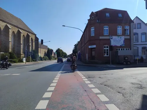
Haus Hilckmann
Restaurant · German
1 Ostenwalder Straße
Mo, We-Th 17:00-22:00; Fr-Su 11:30-14:00, 17:00-22:00
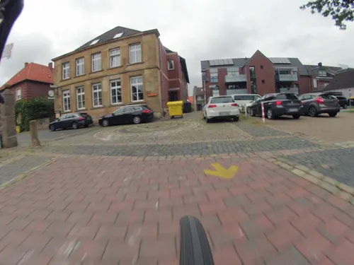
Lütkemeyers Gasthof
Restaurant · German · 6.8 km
1 Hopstener Straße, Hörstel
Mo off; Tu-Sa 16:00-22:00; Su 11:00-14:00,16:00-22:00
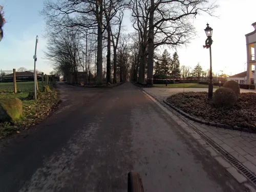
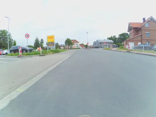
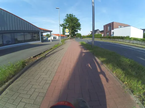
Remke
Cafe · 7.0 km
126 Gravenhorster Straße, Ibbenbüren
Mo-Fr 06:30-19:00; Sa 06:30-18:00; Su 07:30-10:30
Restaurant Landhaus Bad Steinbeck
Restaurant · German, Regional · 8.5 km
14 Bad, Recke
We-Su 17:00+; Mo,Tu off
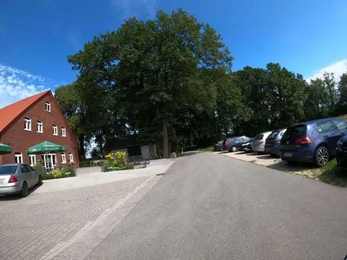
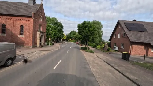


Gaststätte Ottenhues
Bar and pub · 7.1 km
24 Tecklenburger Straße, Hörstel
Mo,Tu,Th-Sa 17:00-24:00+; Su 16:00-18:00+
70 more on the map.
Where to stay9
Churches and places of worship24
Christus König Kapelle
Church · Roman Catholic · 4.7 km
113 Ostenwalder Straße, Hörstel
Shopping30
Gas and EV charging13
Schools, colleges and libraries21
Healthcare10
Augentagesklinik Rheine
Clinic and pharmacy · 8.3 km
233-235 Osnabrücker Straße, Rheine
Reinhildis Apotheke
Clinic and pharmacy · 5.1 km
11 Heinrich-Niemeyer-Straße, Hörstel
LWL-Therapiezentrum für Forensische Psychiatrie Münsterland
Hospital · 4.4 km
1 An der Startbahn, Hörstel
Map of Hörstel
250 places. The map loads OpenStreetMap tiles when you open it.
Getting there and nearby towns
Münster Osnabrück Airport (FMO) is the nearest airport with scheduled flights listed in OpenStreetMap, 19 km away.
- Rheine 10 km west, about 10 min by car
- Recke 12 km northeast, about 12 min by car
- Mettingen 14 km east, about 14 min by car
- Neuenkirchen 16 km west, about 16 min by car
- Westerkappeln 20 km east, about 20 min by car
- Lengerich 22 km southeast, about 22 min by car
- Lotte 23 km east, about 23 min by car
- Steinfurt 24 km southwest, about 24 min by car
- Schüttorf 25 km west, about 25 min by car
- Hasbergen 26 km east, about 26 min by car
Drive times are estimates from straight-line distance, not routes.
Local news
Headlines from INDB.
Reviews, tips and questions
Loading what members have shared...
Sources and licences
- GeoNames (CC BY 4.0): population, coordinates, regions and time zone
- Mapillary (see each image): photos
- OpenStreetMap contributors (ODbL 1.0): places, airports, map data
- Wikidata (CC0 1.0): elevation, founding date, time zone, website, landmarks and historic places
- Wikimedia Commons (see each image): photos
- Wikipedia (CC BY-SA 4.0): overview and history text
Photo credits
- Hörstel-Knollmannsmühle-WUS00988, Rainer Halama, CC BY-SA 4.0
- Zeichnung Burg Bevergern, H.P-Marquard, CC BY-SA 3.0 de
- St.-Antonius-Basilika (Rheine), Sharps at German Wikipedia, CC BY-SA 2.0 de
- Surenburg Riesenbeck (DSC08328), Günter Seggebäing, Coesfeld, CC BY-SA 3.0
- Nassdreieck MLK DEK, Schleusenwaerter, CC BY-SA 3.0
- BirgterBergGipfel, Stefan Brüggemann, CC BY-SA 3.0
- Dreierwalde Kirche St Anna 1, Genet, CC BY-SA 3.0
- Uffeln Gedenkstein Grube Mieke 1, J.-H. Janßen, CC0
- Schöne Aussicht Riesenbecker Berg, Ramsch at de.wikipedia, Public domain
- Bergeshoevede Nasses Dreieck 03, J.-H. Janßen, CC BY-SA 3.0
- Eltekirche, Varus111, CC BY-SA 3.0
- St Marien Bevergern 4, J.-H. Janßen, CC BY-SA 3.0
- St Barbara Dickenberg 2, J.-H. Janßen, CC BY-SA 3.0
- Herz-Jesu Kirche Püsselbüren, Ramsch at de.wikipedia, CC BY-SA 3.0
- Breischen St Anna Kapelle 06, J.-H. Janßen, CC BY-SA 3.0
- Schierloh St Johannes Bosco 01, J.-H. Janßen, CC BY-SA 3.0
- Gravenhorst Dreihuesken 01, Jan-Herm Janßen, CC BY-SA 3.0
- Birgte-Kapelle, Zumthie, Public domain
- Ostenwalde Kapelle, Ramsch, CC BY-SA 3.0
- Gravenhorst Naturschutzgebiet Alte Fahrt 03, J.-H. Janßen, CC BY-SA 3.0
- Obersteinbeck Naturschutzgebiet Am Kaelberberg 05, J.-H. Janßen, CC BY-SA 3.0
- Bruchwiesen bei Dreierwalde (ST-012) 02, Enterprise12345678, CC BY-SA 3.0
- Schloss surenburg, holgerpo, CC BY-SA 2.0 de
- Ibbenbueren Christuskirche 06, Jan-Herm Janßen, CC BY-SA 4.0
- Obersteinbeck Naturschutzgebiet Am Kaelberberg 07, J.-H. Janßen, CC BY-SA 3.0
- Hoerstel Friedenskirche 02, J.-H. Janßen, CC BY-SA 3.0
- Hoerstel Schulzentrum Harkenberg 04, J.-H. Janßen, CC BY-SA 4.0
- Hoerstel St Antonius 10, J.-H. Janßen, CC BY-SA 3.0
- Hoerstel St Antonius Josefstatue 02, J.-H. Janßen, CC BY-SA 4.0
- Hoerstel St Antonius Josefstatue 01, J.-H. Janßen, CC BY-SA 4.0
- Hoerstel Anemone blanda 01, J.-H. Janßen, CC BY-SA 3.0
- Hoerstel Baeckerei Heukamp 01, J.-H. Janßen, CC0
- Hoerstel Haus Droste 02, J.-H. Janßen, CC BY-SA 3.0
- Hoerstel Haus Droste 01, J.-H. Janßen, CC BY-SA 3.0
- Hoerstel Alte Evangelische Schule 01, J.-H. Janßen, CC BY-SA 3.0
- Hoerstel Friedenskirche 04, J.-H. Janßen, CC BY-SA 3.0
- Hoerstel Evangelische Friedenskirche Gemeindehaus Alte Schule 01, J.-H. Janßen, CC BY-SA 4.0
- Hoerstel Alte Evangelische Schule 02, J.-H. Janßen, CC BY-SA 3.0
- Hoerstel Schulzentrum Harkenberg 07, J.-H. Janßen, CC BY-SA 4.0
- Hoerstel Gemeindehaus Alte Schule 04, J.-H. Janßen, CC0
- Street-level photo, GlitchHunter, CC BY-SA 4.0
- Street-level photo, polyglot, CC BY-SA 4.0
- Street-level photo, GlitchHunter, CC BY-SA 4.0
- Street-level photo, GlitchHunter, CC BY-SA 4.0
- Street-level photo, GlitchHunter, CC BY-SA 4.0
- Street-level photo, ramap, CC BY-SA 4.0
- Street-level photo, regentkoerper, CC BY-SA 4.0
- Street-level photo, GlitchHunter, CC BY-SA 4.0
- Street-level photo, GlitchHunter, CC BY-SA 4.0
- Street-level photo, deleted_user, CC BY-SA 4.0
- Street-level photo, bct, CC BY-SA 4.0
- Street-level photo, VIA_KK, CC BY-SA 4.0
- Street-level photo, regentkoerper, CC BY-SA 4.0
- Street-level photo, bct, CC BY-SA 4.0
- Street-level photo, ramap, CC BY-SA 4.0
- Street-level photo, regentkoerper, CC BY-SA 4.0
- Street-level photo, bct, CC BY-SA 4.0
- Street-level photo, regentkoerper, CC BY-SA 4.0
- Street-level photo, regentkoerper, CC BY-SA 4.0


Page built November 8, 2026. Spotted a mistake? Tell us or suggest a place.