


Bischofsheim in der Rhön, Germany
Bischofsheim in der Rhön is a town of 5,181 people in Bavaria, Germany.
Why visit Bischofsheim in der Rhön
Townapedia lists 40 museums and landmarks, 9 parks and trails, 43 places to eat, 16 places to stay and 39 attractions in and around town.
Highlights include Rhönbauer, Rhönschaf-Laden, Rentamt and Burgstall Altenbrenda.
Weather in Bischofsheim in der Rhön
Forecast from MET Norway (CC BY 4.0). Full forecast
About Bischofsheim in der Rhön
Bischofsheim in der Rhön (German pronunciation: [ˈbɪʃɔfsˌhaɪm ʔɪn deːɐ̯ ˈʁøːn], lit. 'Bischofsheim in the Rhön'; before January 2020: Bischofsheim an der Rhön) is a town in the district Rhön-Grabfeld, in Bavaria, Germany. It is situated in the Rhön Mountains, 29 km southeast of Fulda.
From the Wikipedia article Bischofsheim in der Rhön (this version), under CC BY-SA 4.0.
Things to do39
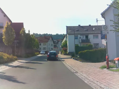
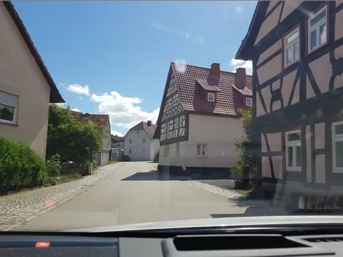
Rhönschaf-Laden
Farm and orchard · 6.0 km
4 Friedhofsweg, Oberelsbach
Mo-We,Fr 07:30-10:00; Sa 07:30-11:00

Wildpark Gersfeld
Zoo and aquarium · 6.3 km
1 Wildpark, Gersfeld
Apr-Oct: Mo-Su,PH 09:00-18:00; Nov-Mar: Mo-Su,PH 10:00-16:00





27 more on the map.
Museums and landmarks40



Gyrowheel Monument
Monument and historic site · 7.3 km
Monument and memorial in Germany


Besucherbergwerk "Braunkohlestollen Einigkeit 1844"
Monument and historic site · 2.6 km
Apr-Sep: "open"; Oct-Mar: "closed"

Gedenkstätte der Gefallenen des Rhönklubs
Monument and historic site · 6.7 km
Die Idee zum Toten-Ehrenmal auf dem Heidelstein entstand 1923, es wurde im selben Jahr eingeweiht. Jährlich im September wird dort der...
28 more on the map.
Parks, trails and playgrounds9




Restaurants and cafes43
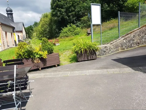
Berggasthof Zum Elisäus
Restaurant · Regional · 4.2 km
4 Kreuzberg, Bischofsheim i.d.Rhön
Mo-Fr 17:00-22:00; Sa 13:00-22:00; Su 11:00-22:00

Hansen-Mühle
Restaurant · Regional · 1.5 km
37 Gersfelder Straße, Bischofsheim i.d.Rhön
Fr,Sa 17:00-21:45; Su 11:00-14:00
Jagdschloss Holzberg
Restaurant · Regional · 4.1 km
Ausschliesslich "warme Küche" (kein Kaffee & Kuchen!)
1 Holzberg, Bischofsheim i.d.Rhön
We-Sa 16:00-22:00; Su 16:00-21:00; Mo,Tu off
Berghütte Simmelsberg
Restaurant · German · 6.0 km
62 Dammelhof, Gersfeld
We-Sa 11:00-22:00; Su 11:00-20:00
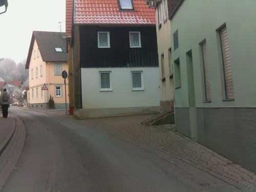
Fischerhütte Edwin
Restaurant · Regional · 6.0 km
1 Herbertsweg, Oberelsbach
We-Su 11:30-14:00,17:00-21:00
Gasthaus Dickas
Restaurant · Regional
9 Josefstraße, Bischofsheim i.d.Rhön
Fr-Tu 11:00-14:00, 17:00-22:00
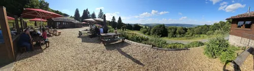

Shanghai - Gasthof Stern
Restaurant · Chinese
2 Ludwigstraße, Bischofsheim i.d.Rhön
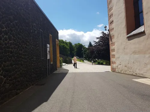


Klostergaststätte
Restaurant · 4.2 km
2 Kreuzberg, Bischofsheim i.d.Rhön
Apr-Oct Mo-Fr 10:00-19:30; Nov-Mar Mo-Th 10:00-18:30; Fr-Su 10:00-19:30

31 more on the map.
History
In a document of the early 13th century Bischofsheim was first mentioned. The town is much older, probably 8th century. The name Bischofsheim (German: home of the bishop) indicates that the town was maybe founded by Saint Boniface. As Bischofsheim is situated between Fulda and the palatinate Salz, Boniface founded a settlement to rest on the way.
From the History section of Bischofsheim in der Rhön on Wikipedia, under CC BY-SA 4.0.
Where to stay16
Churches and places of worship22
Pfarrkirche St. Georg
Church · Roman Catholic
9 Kirchplatz, Bischofsheim i.d.Rhön
Kirchengemeinde Hl. Nektarios von Ägina
Church · Russian Orthodox
4 Fastnachtsgasse, Bischofsheim i.d.Rhön
Sankt-Prokopius-Kirche
Church · Russian Orthodox
4a Fastnachtsgasse, Bischofsheim i.d.Rhön
Shopping10
Gas and EV charging3
Schools, colleges and libraries4
Landwirtschaftsschule Bischofsheim, Abt. Hauswirtschaft
School
10 Kreuzbergstraße, Bischofsheim i.d.Rhön
Montessori Förderverein Rhoen-Saale e.V.
School · 6.5 km
7 Kreuzbergstraße, Sandberg
Staatlliche Berufsfachschule für Holzbildhauer
School
12 Kreuzbergstraße, Bischofsheim i.d.Rhön
Valentin-Rathgeber-Grundschule Oberelsbach
School · 5.6 km
2 Neumühlenweg, Oberelsbach
Healthcare1
Map of Bischofsheim in der Rhön
187 places. The map loads OpenStreetMap tiles when you open it.
Getting there and nearby towns
Flugplatz Eisenach-Kindel (EIB) is the nearest airport with scheduled flights listed in OpenStreetMap, 74 km away.
- Bad Neustadt an der Saale 17 km southeast, about 17 min by car
- Mellrichstadt 21 km east, about 21 min by car
- Bad Kissingen 23 km south, about 23 min by car
- Oberthulba 23 km south, about 23 min by car
- Eichenzell 24 km northwest, about 24 min by car
- Künzell 26 km northwest, about 26 min by car
- Fulda 29 km northwest, about 29 min by car
- Neuhof 28 km west, about 28 min by car
- Oerlenbach 29 km south, about 29 min by car
- Hammelburg 33 km south, about 33 min by car
Drive times are estimates from straight-line distance, not routes.
Local news
Headlines from INDB.
Reviews, tips and questions
Loading what members have shared...
Sources and licences
- GeoNames (CC BY 4.0): population, coordinates, regions and time zone
- Mapillary (see each image): photos
- OpenStreetMap contributors (ODbL 1.0): places, airports, map data
- Wikidata (CC0 1.0): elevation, founding date, time zone, website, landmarks and historic places
- Wikimedia Commons (see each image): photos
- Wikipedia (CC BY-SA 4.0): overview and history text
Photo credits
- Bischofsheim Südansicht, Bbb, CC BY-SA 1.0
- Rhönraddenkmal - panoramio, Leno89, CC BY 3.0
- 97653 Bischofsheim an der Rhön, Germany - panoramio (4), hartmut_bach, CC BY 3.0
- Himmeldunkberg (Südseite), Jörg Braukmann, CC BY-SA 4.0
- Ruine Osterburg, Cend at German Wikipedia, Public domain
- Schwedenschanze bei Gersfeld 1, Delta456, CC BY-SA 4.0
- Hohe Hölle (Rhön), Jörg Braukmann, CC BY-SA 3.0
- Kloster Kreuzberg Gesamtanlage, Sigismund von Dobschütz, CC BY-SA 3.0
- Oberweißenbrunn-0214, Dietrich Krieger, CC BY-SA 3.0
- Kirche Ginolfs, Langholzinger, CC BY-SA 4.0
- Sondernau-au, Passer novus, CC BY-SA 4.0
- Kir. Wegfurt, Langholzinger, CC BY-SA 4.0
- Bischofsheim StGeorgius, Bbb, CC BY-SA 1.0
- Bischofsheim an der Rhön, ev. Kirche-001, Tilman2007, CC BY-SA 3.0
- Kir. Kilianshof1, Passer novus, CC BY-SA 4.0
- Bischofsheim an der Rhön, Kirchplatz 5-001, Tilman2007, CC BY-SA 3.0
- Bischofsheim an der Rhön, Marktplatz, Brunnen-003, Tilman2007, CC BY-SA 3.0
- Bischofsheim an der Rhön, Ludwigstraße 2-001, Tilman2007, CC BY-SA 3.0
- Haselbach in der Rhön, Haselbachstrasse 71 (MGK10734), Markus G. Klötzer, CC BY-SA 3.0
- Osterburg Rhön 2014-04, Bbb-Commons, CC BY-SA 3.0
- Wildpark Gersfeld, 2, Rainer Lippert, Public domain
- Blick von Südosten auf den Arnsberg II, GerritR, CC BY-SA 4.0
- St. Georg (Bischofsheim) altar, Thomas Künzl, CC BY-SA 4.0
- St. Georg (Bischofsheim) opfer, Thomas Künzl, CC BY-SA 4.0
- Sonnenuhr - panoramio (2), WAF2TT, CC BY-SA 3.0
- St. Georg (Bischofsheim) tür, Thomas Künzl, CC BY-SA 4.0
- Kirchgasse - panoramio, WAF2TT, CC BY-SA 3.0
- Bischofsheim, Schild Gendarmerie, 1, Renardo la vulpo, CC BY-SA 4.0
- BischFrühlings 25, Thomas Künzl, CC BY-SA 4.0
- Häuser am Marktplatz - panoramio, WAF2TT, CC BY-SA 3.0
- Marktplatz - panoramio (3), WAF2TT, CC BY-SA 3.0
- Brunnen - panoramio (5), WAF2TT, CC BY-SA 3.0
- 97653 Bischofsheim an der Rhön, Germany - panoramio, WAF2TT, CC BY-SA 3.0
- BischFrühlings25, Thomas Künzl, CC BY-SA 4.0
- SY-LT 2106, Jochen64, CC0
- Loewen-Apotheke Bischofsheim, Jochen64, CC0
- Braunsmühle1, Thomas Künzl, CC BY-SA 4.0
- Restaurant Braunsmühle (Bischofsheim), Rhön-Grabfeld, Ursula Jaeger, CC BY-SA 4.0
- Braunsmühle2, Thomas Künzl, CC BY-SA 4.0
- Degetsmühle1, Thomas Künzl, CC BY-SA 4.0
- Street-level photo, BerndGo64, CC BY-SA 4.0
- Street-level photo, ramap, CC BY-SA 4.0
- Street-level photo, ramap, CC BY-SA 4.0
- Street-level photo, BerndGo64, CC BY-SA 4.0
- Street-level photo, ramap, CC BY-SA 4.0
- Street-level photo, BerndGo64, CC BY-SA 4.0
- Street-level photo, BerndGo64, CC BY-SA 4.0
- Street-level photo, ramap, CC BY-SA 4.0
- Street-level photo, ramap, CC BY-SA 4.0
- Street-level photo, ramap, CC BY-SA 4.0
- Street-level photo, su1dakra, CC BY-SA 4.0
- Street-level photo, fischtown, CC BY-SA 4.0
- Street-level photo, ramap, CC BY-SA 4.0
- Street-level photo, tmka, CC BY-SA 4.0
- Street-level photo, raphael, CC BY-SA 4.0
- Street-level photo, ramap, CC BY-SA 4.0
- Street-level photo, ramap, CC BY-SA 4.0
- Street-level photo, su1dakra, CC BY-SA 4.0
- Street-level photo, ramap, CC BY-SA 4.0
- Street-level photo, ramap, CC BY-SA 4.0


Page built November 9, 2026. Spotted a mistake? Tell us or suggest a place.