


Why visit Oerlenbach
Townapedia lists 29 museums and landmarks, 7 parks and trails, 29 places to eat, 2 places to stay and 16 attractions in and around town.
Highlights include Der bunte Bauernladen, Kurtheater, Heimatmuseum and Burgruine.
Weather in Oerlenbach
Forecast from MET Norway (CC BY 4.0). Full forecast
About Oerlenbach
Oerlenbach is a municipality in the district of Bad Kissingen in Bavaria in Germany.
From the Wikipedia article Oerlenbach (this version), under CC BY-SA 4.0.
Things to do16
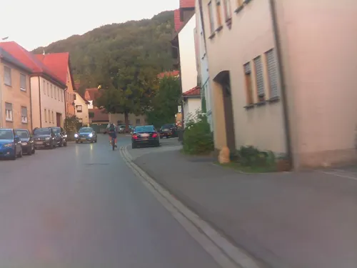
Der bunte Bauernladen
Farm and orchard · 4.8 km
11 Hauptstraße, Ramsthal
Tu 16:00-19:00; Fr 16:00-19:00; Sa 08:00-11:00 || "nach Vereinbarung"

Kurtheater
Cinema and theater · 6.7 km
Cultural heritage monument D-6-72-114-98 (0) in Bad Kissingen, Bavaria
Ludwigs-Tower
Monument and historic site · 7.9 km
Cultural heritage monument D-6-72-114-21 (0) in Bad Kissingen, Bavaria

Wittelsbacher-Tower
Monument and historic site · 4.3 km
Cultural heritage monument D-6-72-114-168 (0) in Bad Kissingen, Bavaria

4 more on the map.
Museums and landmarks29


Burgruine
Monument and historic site · 5.4 km
Cultural heritage monument D-6-72-114-393 (0) in Bad Kissingen, Bavaria

Denkmal
Monument and historic site · 6.7 km
Cultural heritage monument D-6-72-114-127 (0) in Bad Kissingen, Bavaria




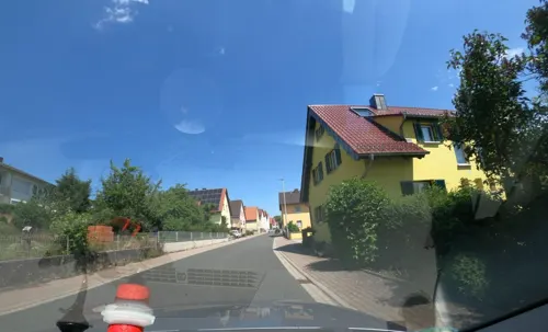
17 more on the map.
Parks, trails and playgrounds7



Restaurants and cafes29
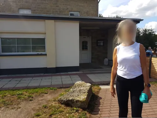
Gasthausbrauerei Wittelsbacher Turm
Restaurant · German, Regional · 4.4 km
1 Wittelsbacher Turm, Bad Kissingen
Apr-Oct Mo-We 11:00-23:00; Th-Sa 11:00-24:00; Su,PH 10:00-23:00;...

Gasthof Körner
Restaurant · German · 3.9 km
5-7 Iringstraße, Bad Kissingen
Th,Fr 17:00-24:00; Sa,Su 11:00-13:45,17:00-24:00
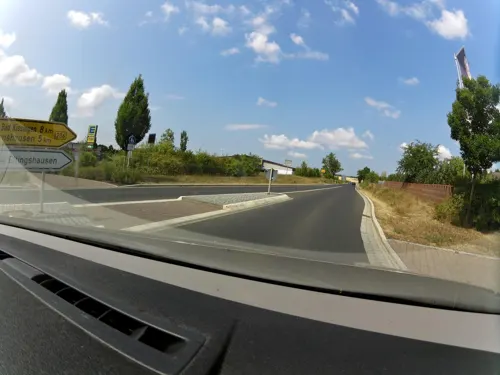
Sportheim Akropolis
Restaurant · Greek · 2.2 km
1 Forsthofstraße, Oerlenbach
Tu-Sa 17:00-22:00; Su 11:00-14:30,17:00-22:00
Weingut Baldauf , Vinothek und Weinbistro
Cafe · Tapas, Regional, German, Kleine, Kalte Speisen · 4.7 km
42 Hauptstraße, Ramsthal
Mo-Fr 09:00-18:00, Sa 09:00-16:00
Keller & Weinlager Weingut Baldauf
Brewery and winery · 4.7 km
45 Hauptstraße, Ramsthal
Mo-Fr 09:00-18:00; Sa 09:00-16:00



17 more on the map.
Where to stay2
Churches and places of worship16
Allerheiligenkirche
Church · Roman Catholic · 2.7 km
3 Kirchstraße, Oerlenbach
Shopping4
Gas and EV charging2
Schools, colleges and libraries8
Healthcare1
Map of Oerlenbach
114 places. The map loads OpenStreetMap tiles when you open it.
Getting there and nearby towns
Sonderlandeplatz Kitzingen (KZG) is the nearest airport with scheduled flights listed in OpenStreetMap, 45 km away.
- Bad Kissingen 7 km northwest, about 7 min by car
- Schweinfurt 13 km southeast, about 13 min by car
- Hammelburg 18 km west, about 18 min by car
- Werneck 19 km south, about 19 min by car
- Bad Neustadt an der Saale 20 km north, about 20 min by car
- Haßfurt 30 km southeast, about 30 min by car
- Gemünden am Main 32 km west, about 32 min by car
- Karlstadt 33 km southwest, about 33 min by car
- Veitshöchheim 40 km southwest, about 40 min by car
- Würzburg 42 km south, about 42 min by car
Drive times are estimates from straight-line distance, not routes.
Local news
Headlines from INDB.
Reviews, tips and questions
Loading what members have shared...
Sources and licences
- GeoNames (CC BY 4.0): population, coordinates, regions and time zone
- Mapillary (see each image): photos
- OpenStreetMap contributors (ODbL 1.0): places, airports, map data
- Wikidata (CC0 1.0): elevation, founding date, time zone, website, landmarks and historic places
- Wikimedia Commons (see each image): photos
- Wikipedia (CC BY-SA 4.0): overview and history text
Photo credits
- Schulstrasse,Oerlenbach, Alterbrix, CC BY-SA 3.0
- Бад Киссинген.Городской театр, Витольд Муратов, CC BY-SA 3.0
- Ludwigsturm (Bad Kissingen) – B106, Darev, CC BY-SA 3.0
- Burg Botenlauben-Juni2007, Sigismund von Dobschütz, CC BY-SA 3.0
- Sisi-Monument on the Altenberg (Bad Kissingen, Germany) – E714, Darev, CC BY-SA 3.0
- Wittelsbacher Turm - 20120722-049, Darev, CC BY-SA 3.0
- Elisabethkapelle (Reiterswiesen) – 20140929-076, Darev, CC BY-SA 3.0
- Oerlenbach, Ebenhausen, Schloß, 003, Tilman2007, CC BY-SA 3.0
- St.Laurentius Church in Bad Kissingen (Germany) – 20120722-027, Darev, CC BY-SA 3.0
- St.Peter&Paul Church in Bad Kissingen (Germany) – 20120902-001, Darev, CC BY-SA 3.0
- Euerdorf, Wirmsthal, Katholische Filialkirche St Johannes der Täufer, 001, Tilman2007, CC BY-SA 3.0
- Kirche Ramsthal, Langholzinger, CC BY-SA 4.0
- Kirche St. Burkard in Oerlenbach, Langholzinger, CC BY-SA 4.0
- Poppenhausen, Pfersdorf, St. Johannes der Täufer, 001, Tilman2007, CC BY-SA 3.0
- Poppenhausen, Hain, St. Aegidus, 002, Tilman2007, CC BY-SA 3.0
- Dittelbrunn, Holzhausen, St. Kilian, 002, Tilman2007, CC BY-SA 3.0
- Hohes Kreuz (Arnshausen) – 20120812-088, Darev, CC BY-SA 3.0
- Vogelskreuz (Reiterswiesen) – 20150514-036, Darev, CC BY-SA 4.0
- Reiterswiesener Höhe-Häuserlohwäldchen, Nico1995fcb, CC0
- Oerlenbach, Ebenhausen, Katholische Pfarrkirche Allerheiligen, 001, Tilman2007, CC BY-SA 3.0
- Richtfunkturm Eltingshausen 02072015, Zonk43, CC BY-SA 3.0
- Umspannwerk Eltinghausen 02072015, Zonk43, CC BY-SA 3.0
- Street-level photo, zoegglmeyr1, CC BY-SA 4.0
- Street-level photo, BerndGo64, CC BY-SA 4.0
- Street-level photo, ramap, CC BY-SA 4.0
- Street-level photo, ramap, CC BY-SA 4.0
- Street-level photo, ramap, CC BY-SA 4.0
- Street-level photo, live, CC BY-SA 4.0
- Street-level photo, atze02, CC BY-SA 4.0
- Street-level photo, BerndGo64, CC BY-SA 4.0
- Street-level photo, ramap, CC BY-SA 4.0
- Street-level photo, atze02, CC BY-SA 4.0
- Street-level photo, ramap, CC BY-SA 4.0
- Street-level photo, ramap, CC BY-SA 4.0
- Street-level photo, atze02, CC BY-SA 4.0
- Street-level photo, live, CC BY-SA 4.0
- Street-level photo, ramap, CC BY-SA 4.0
- Street-level photo, rausk, CC BY-SA 4.0
- Street-level photo, ramap, CC BY-SA 4.0


Page built November 9, 2026. Spotted a mistake? Tell us or suggest a place.