


Why visit Mellrichstadt
Townapedia lists 32 museums and landmarks, 15 parks and trails, 34 places to eat, 9 places to stay and 13 attractions in and around town.
Highlights include Eiersberg, Elmbacher Berg, jüdischer Friedhof Unsleben and Orgelbaumuseum.
Weather in Mellrichstadt
Forecast from MET Norway (CC BY 4.0). Full forecast
About Mellrichstadt
Mellrichstadt (German pronunciation: [ˈmɛlʁɪçˌʃtat] ) is a town in the district Rhön-Grabfeld, in Bavaria, Germany. It is situated 17 km southwest of Meiningen, and 13 km northeast of Bad Neustadt. It includes the following villages: Bahra, Eußenhausen, Frickenhausen, Mühlfeld, Sondheim im Grabfeld und Roßrieth.
From the Wikipedia article Mellrichstadt (this version), under CC BY-SA 4.0.
Things to do13



1 more on the map.
Museums and landmarks32

jüdischer Friedhof Unsleben
Cemetery · 6.2 km
Alter Berg. Judenfriedhof, Bruchsteinummauerung, Portalpfeiler in Haustein und Ziegel, Grabsteine, Inschriftstein mit Zehn Geboten,...

Orgelbaumuseum
Museum · 5.9 km
20 Paulinenstraße, Ostheim vor der Rhön
PH,We-Su 13:00-17:00; We-Sa 10:00-12:00




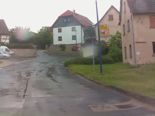
20 more on the map.
Parks, trails and playgrounds15
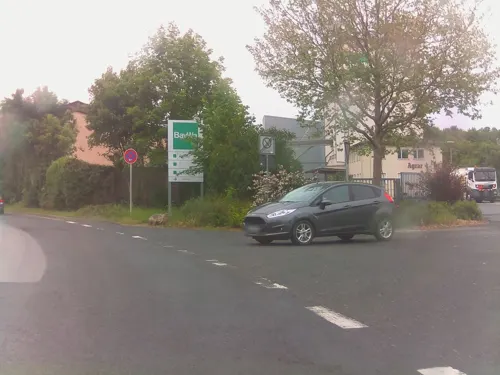
Sportbad Hallenbad Mellrichstadt
Sports field and stadium
17 Bahnhofstraße, Mellrichstadt
Mo, We-Fr 14:30-21:00; Tu, Sa 14:30-18:00; Su 09:00-18:00; Fr 07:00-08:00


Hallenbad Ostheim v.d.Rhön
Sports field and stadium · 6.2 km
Tu 16:00-18:30; We 16:00-20:00; Th 15:30-18:30; Fr 15:30-19:00; Sa...



3 more on the map.
Restaurants and cafes34
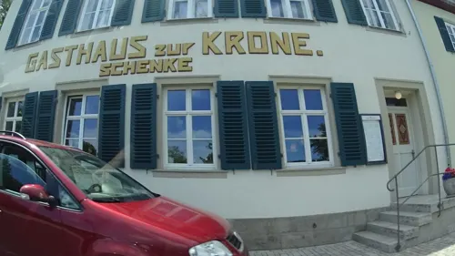

Kaffeek•anne
Cafe · 5.9 km
10 Marktstraße, Ostheim vor der Rhön
Mo-Tu, Th-Fr 11:00-18:00, Sa 11:00-20:00, Su 11:00-18:00, We off
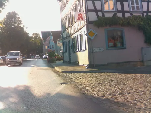


Curryhaus (Tanzbergstüberl)
Restaurant · Indian · 6.3 km
4 Am Tanzberg
Su, Tu-Th 11:00-14:30, 17:00-22:00; Fr-Sa 11:00-14:30, 17:00-23:00
Zum grünen Baum
Restaurant · Regional · 5.9 km
16 Alte Weinstraße, Grabfeld
Th, Fr 18:30-22:00; Su 11:00-13:30
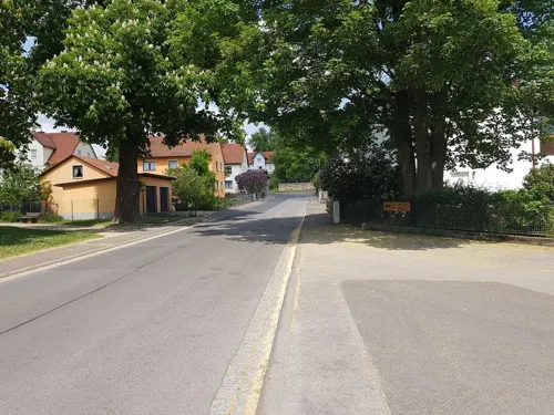
Zur Erholung
Restaurant · Greek · 6.3 km
78 Marktstraße, Ostheim vor der Rhön
Tu-We, Sa 17:00-22:00; Th-Fr 18:00-22:00; Su 11:00-14:00, 17:00-21:00
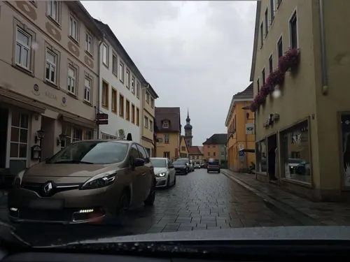
Zur Trophäe
Restaurant · German, Burger, Regional
25 Hauptstraße, Mellrichstadt
Mo-Fr 07:00-22:00; Sa,Su 08:00-22:00; PH 08:00-17:00
Bambus Bistro
Restaurant · Asian
6 Marktplatz, Mellrichstadt
Mo-Su 11:00-14:30,17:00-21:30; Sa 17:00-21:30

Brauerei Streck
Brewery and winery · 6.1 km
11 Ludwig-Jahn-Straße, Ostheim vor der Rhön


Matcha Mystery
Cafe · 6.1 km
Kleinen süßes Kaffee spezialisiert auf Matcha in allen Varianten
3 Im Schlößchen
Fr-Su 12:00-18:00
22 more on the map.
History
Mellrichstadt has a history dating back to the Middle Ages. The town was first documented in 751 AD in a deed of gift from a Frankish nobleman, confirming its status as one of the oldest settlements in the region of Franconia. It received its town rights around 1230, establishing its significance as a trading center.
On September 30, 1938, the town's synagogue was destroyed, purportedly due to a mob of Sudeten Germans breaking into the synagogue. No members of the congregation were recorded as being harmed, as they were given warning beforehand by an unknown source.
During the Cold War, Mellrichstadt was located close to the Inner German border. A mechanized battalion and an anti-tank company of the Bundeswehr's 35th Panzergrenadier Brigade were stationed there, with the military installations serving as a key strategic point for border defense during the decades of German division.
From the History section of Mellrichstadt on Wikipedia, under CC BY-SA 4.0.
Where to stay9
Gästezimmer Luise Euring
Motel and hotel · 4.1 km
7 Hermannsfelder Straße, Mellrichstadt
Landhotel Rhönblick
Motel and hotel · 6.4 km
10 Kleiner Burgweg, Ostheim vor der Rhön
Churches and places of worship26
Pfarrkirche St. Bartholomäus
Church · Catholic · 4.2 km
Kirchstraße, Mellrichstadt
Shopping16
Gas and EV charging14
Schools, colleges and libraries8
Healthcare5
Map of Mellrichstadt
172 places. The map loads OpenStreetMap tiles when you open it.
Getting there and nearby towns
Flugplatz Eisenach-Kindel (EIB) is the nearest airport with scheduled flights listed in OpenStreetMap, 64 km away.
- Bad Neustadt an der Saale 14 km southwest, about 14 min by car
- Meiningen 17 km northeast, about 17 min by car
- Bad Kissingen 30 km southwest, about 30 min by car
- Hildburghausen 30 km east, about 30 min by car
- Suhl 34 km northeast, about 34 min by car
- Schmalkalden 34 km north, about 34 min by car
- Oerlenbach 33 km south, about 33 min by car
- Zella-Mehlis 36 km northeast, about 36 min by car
- Oberthulba 35 km southwest, about 35 min by car
- Schweinfurt 43 km south, about 43 min by car
Drive times are estimates from straight-line distance, not routes.
Local news
Headlines from INDB.
Reviews, tips and questions
Loading what members have shared...
Sources and licences
- GeoNames (CC BY 4.0): population, coordinates, regions and time zone
- Mapillary (see each image): photos
- OpenStreetMap contributors (ODbL 1.0): places, airports, map data
- Wikidata (CC0 1.0): elevation, founding date, time zone, website, landmarks and historic places
- Wikimedia Commons (see each image): photos
- Wikipedia (CC BY-SA 4.0): overview and history text
Photo credits
- MET StKilianA, Bbb, CC BY-SA 3.0
- Mellrichstadt, der Marktplatz, Dguendel, CC BY 4.0
- Mellrichstadt, Häuserzeile in der Hauptstraße, Dguendel, CC BY 4.0
- Mellrichstadt, Haus Marktplatz 18 (Apotheke St.Martin), Dguendel, CC BY 4.0
- 2012-08-15 Mellrichstadt - Denkmal Franziska Streitel - 8859, Sven Teschke , Büdingen, CC BY-SA 3.0 de
- 2012-08-15 Mellrichstadt - Denkmal Franziska Streitel - 8857, Sven Teschke , Büdingen, CC BY-SA 3.0 de
- Marktplatz in Mellrichstadt - panoramio, qwesy qwesy, CC BY 3.0
- Mellrichstadt, die Stadtmauer, Bild 4, Dguendel, CC BY 4.0
- Mellrichstadt, die Stadtmauer, Bild 3, Dguendel, CC BY 4.0
- Landkreis Mellrichstadt, Thomas Künzl, CC BY-SA 3.0
- Kirchenburg Ostheim, 3, Rainer Lippert This image was created with Hugin ., CC0
- Armenseelenkapelle Kreuz, Superchaot, CC BY-SA 3.0
- Grabfeld, Berkach, Grenzturm BTv 2x2-20151102-010, Tilman2007, CC BY-SA 4.0
- Schloss Hanstein 2, Presse03, CC BY-SA 3.0
- Schwickershausen, Ev. Kirche Grabfeld 20250309 0002, Tilman2007, CC BY-SA 4.0
- Mellrichstadt, Eußenhausen, St. Bartholomäus, 019, Tilman2007, CC BY-SA 3.0
- Mellrichstadt, Hauptstraße 3, Spitalkirche-002, Tilman2007, CC BY-SA 3.0
- Georgskirche Roßrieth 001, Tilman2007, CC BY-SA 3.0
- Stockheim, Am Tanzberg, Katholische Pfarrkirche St. Vitus-002, Tilman2007, CC BY-SA 3.0
- Stolperstein für Regina Neumaier (Ostheim vor der Rhön), Christian Michelides, CC BY-SA 4.0
- Stolperstein für Siegmund Neumaier (Ostheim vor der Rhön), Christian Michelides, CC BY-SA 4.0
- Suhlesturm28042019, Zonk43, CC BY-SA 4.0
- Galgenturm mit Umfassungsmauer, Superchaot, CC BY-SA 3.0
- Naturschutzgebiet Trockenhänge bei Unsleben, Föhrwoman, CC BY-SA 3.0
- St. Christophorus (Mühlfeld) 001, Tilman2007, CC BY-SA 3.0
- Mellrichstadt Gustav-Adolf-Kirche 001, Tilman2007, CC BY-SA 3.0
- Oberstreu St. Andreas 01, ErwinMeier, CC BY-SA 4.0
- Oberstreu, Mittelstreu, Hauptstraße, Kath. Pfarrkirche, 002, Tilman2007, CC BY-SA 3.0
- Armenseelenkapelle Frühjahr, Superchaot, CC BY-SA 3.0
- Ostheim Orgelmuseum, User:Bbb, CC BY-SA 1.0
- Galgenturm (Mellrichstadt), Jörg Braukmann, CC BY-SA 4.0
- Suhlesturm, Sintris, CC0
- BerkachGrenzturm-2005-07-24, Winfried Gänßler ©WinG, CC BY-SA 3.0
- Unsleben-Jüdischer-Friedhof, Störfix, CC BY-SA 3.0 de
- Blick von Völkershausen zur Hohen Schule Anfang März, TingelSan, CC0
- Schwickershausen Kirche, Winfried Gänßler ©WinG, CC BY-SA 3.0
- StsebastianspitalkircheMET, Thomas Künzl, CC BY-SA 4.0
- Mittelstreu St. Johannes d.T. 01, ErwinMeier, CC BY-SA 4.0
- Mühlfeld St. Christophorus 02, ErwinMeier, CC BY-SA 4.0
- RossrietStGeorgMET1, Thomas Künzl, CC BY-SA 4.0
- KreisGalerieMET4, Thomas Künzl, CC BY-SA 4.0
- Street-level photo, ramap, CC BY-SA 4.0
- Street-level photo, BerndGo64, CC BY-SA 4.0
- Street-level photo, ramap, CC BY-SA 4.0
- Street-level photo, BerndGo64, CC BY-SA 4.0
- Street-level photo, ramap, CC BY-SA 4.0
- Street-level photo, BerndGo64, CC BY-SA 4.0
- Street-level photo, ramap, CC BY-SA 4.0
- Street-level photo, ramap, CC BY-SA 4.0
- Street-level photo, ramap, CC BY-SA 4.0
- Street-level photo, trockennasenaffe, CC BY-SA 4.0
- Street-level photo, BerndGo64, CC BY-SA 4.0
- Street-level photo, ramap, CC BY-SA 4.0
- Street-level photo, BerndGo64, CC BY-SA 4.0
- Street-level photo, BerndGo64, CC BY-SA 4.0
- Street-level photo, trockennasenaffe, CC BY-SA 4.0
- Street-level photo, trockennasenaffe, CC BY-SA 4.0
- Street-level photo, kay_d, CC BY-SA 4.0
- Street-level photo, ramap, CC BY-SA 4.0
- Street-level photo, ramap, CC BY-SA 4.0
- Street-level photo, ramap, CC BY-SA 4.0
- Street-level photo, BerndGo64, CC BY-SA 4.0


Page built November 9, 2026. Spotted a mistake? Tell us or suggest a place.