


Why visit Bockenem
Townapedia lists 50 museums and landmarks, 21 parks and trails, 31 places to eat, 15 places to stay and 93 attractions in and around town.
Highlights include Bormanns Hof, Niehoffs Hofmolkerei, Turmuhrenmuseum and Dicke Linde.
Weather in Bockenem
Forecast from MET Norway (CC BY 4.0). Full forecast
About Bockenem
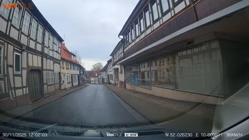
Bockenem (German pronunciation: [ˈboːkənəm]; Eastphalian: Bokeln) is a town in the district of Hildesheim, Lower Saxony, Germany that was founded in 1154. It is located on the German Timber-Frame Road.
From the Wikipedia article Bockenem (this version), under CC BY-SA 4.0.
Things to do93
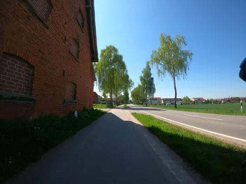

GartenCOP
Farm and orchard · 8.5 km
1 Lamspringer Straße, Bad Salzdetfurth
We-Fr 12:00-18:00; Sa 10:00-14:00

81 more on the map.
Museums and landmarks50



38 more on the map.
Parks, trails and playgrounds21

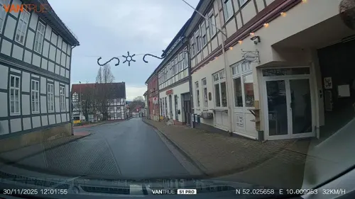
Familienpark Sottrum
Sports field and stadium · 7.0 km
28 Ziegeleistraße, Holle
Mo-Su 10:00-18:00; Nov-Mar off






9 more on the map.
Restaurants and cafes31
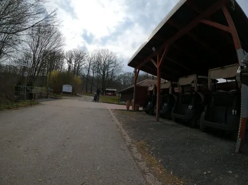
PM Genusswerkstatt im Golfclub Bad Salzdetfurth
Restaurant · Regional · 8.3 km
Restaurant, Biergarten, Kochschule, Eventlocation, Catering, Seminarraum, Weinhandel
1 Dr.-Jochen-Schneider-Weg, Bad Salzdetfurth
Mo off; Tu-Su 11:00+

Gaststätte Maas
Restaurant · German · 2.1 km
8 Störyer Straße, Bockenem
We-Sa 17:00-24:00; Su 11:30-13:30, 17:00-21:00
Restaurant Am Weinberg
Restaurant · Regional, Steak House, Cake, Burger, Fish, Pasta, Salad · 5.2 km
94b Am Weinberg, Bockenem
We-Su 11:30+



Zur Tränke
Bar and pub · 8.7 km
16 Sehlemer Straße, Bad Salzdetfurth
Tu-Fr 17:00+; Sa 10:00+; Su 10:00-12:00,16:00+
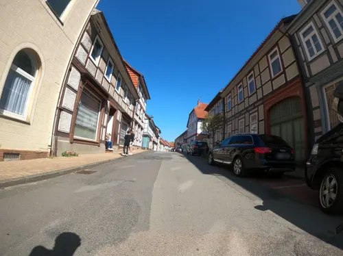
Dimitra
Restaurant · Greek
16 Bönnier Straße, Bockenem
Tu-Fr 17:00-22:00; Sa,Su 12:00-14:30,17:00-22:00

Eiscafé Buondì
Ice cream · Ice Cream
11 Buchholzmarkt, Bockenem
Mo-Sa 09:00-20:00; Su 10:00-20:00


19 more on the map.
Where to stay15
Churches and places of worship33
Shopping10
Gas and EV charging8
Schools, colleges and libraries5
Healthcare4
Map of Bockenem
250 places. The map loads OpenStreetMap tiles when you open it.
Getting there and nearby towns
Forschungsflughafen Braunschweig-Wolfsburg (BWE) is the nearest airport with scheduled flights listed in OpenStreetMap, 45 km away.
- Hildesheim 20 km northwest, about 20 min by car
- Salzgitter 25 km northeast, about 25 min by car
- Salzhemmendorf 38 km west, about 38 min by car
- Braunschweig 39 km northeast, about 39 min by car
- Wendeburg 40 km northeast, about 40 min by car
- Hannover 48 km northwest, about 48 min by car
- Göttingen 55 km south, about 55 min by car
- Wolfsburg 64 km northeast, about 1 h by car
- Hambühren 70 km north, about 1 h 15 min by car
- Obernkirchen 74 km northwest, about 1 h 15 min by car
Drive times are estimates from straight-line distance, not routes.
Local news
Headlines from INDB.
Reviews, tips and questions
Loading what members have shared...
Sources and licences
- GeoNames (CC BY 4.0): population, coordinates, regions and time zone
- Mapillary (see each image): photos
- OpenStreetMap contributors (ODbL 1.0): places, airports, map data
- Wikidata (CC0 1.0): elevation, founding date, time zone, website
- Wikimedia Commons (see each image): photos
- Wikipedia (CC BY-SA 4.0): overview and history text
Photo credits
- View of St. Pankratius Church, Nobelium, CC BY 3.0
- Bushaltestelle Thornburyplatz, 1, Bockenem, Landkreis Hildesheim, GeorgDerReisende, CC BY-SA 4.0
- Bockenem, die Häuser Buchholzmarkt 13 und 14, Dguendel, CC BY 4.0
- Bushaltestelle Grundschule, 1, Bockenem, Landkreis Hildesheim, GeorgDerReisende, CC BY-SA 4.0
- Bockenem, die Wasserstraße, Dguendel, CC BY 4.0
- Bockenem, Turmuhrenmuseum und Kirche St. Pankratius, Dguendel, CC BY 4.0
- Bockenem, the Saint Pancratius church, Dguendel, CC BY 4.0
- Bockenem, the tower clock museum, Dguendel, CC BY 4.0
- Bockenem-Buchholzmarkt-ab-2023, Judisa, CC BY-SA 4.0
- Bockenem, ehemalige Apotheke, Dguendel, CC BY 4.0
- Bockenem, Brunnen und Kriegerdenkmal, Dguendel, CC BY 4.0
- Apotheke am Buchholzmarkt in Bockenem, Gerd Fahrenhorst, CC BY 3.0
- Bockenem, der Buchholzmarkt mit Marktbrunnen, Dguendel, CC BY 4.0
- Bockenem, Glocke, Dguendel, CC BY 4.0
- Bockenem, die Kirche St. Pankratius, Dguendel, CC BY 4.0
- Bockenem, das Rathaus, Dguendel, CC BY 4.0
- Bockenem, das Turmuhrenmuseum, Dguendel, CC BY 4.0
- Bockenem, die Superintendentur, Dguendel, CC BY 4.0
- Bockenem, die Gasse "Kirchhof", Dguendel, CC BY 4.0
- Bockenem, Häuserzeile in der Königstraße, Dguendel, CC BY 4.0
- Bockenem, a row of houses at the Königstraße, Dguendel, CC BY 4.0
- Bockenem Superintendentur(Suedseite), De.Nobelium, CC BY 3.0
- Bockenem, die Stobenstraße, Dguendel, CC BY 4.0
- Bockenem, die Sankt Pankratiuskirche IMG 4709 2018-07-02 16.09, Michielverbeek, CC BY-SA 4.0
- Bockenem, das Hotel Mackensen, Dguendel, CC BY 4.0
- Bockenem, Rose am Haus Stobenstraße 15, Dguendel, CC BY 4.0
- NSG HA 061 Bockenemer Klärteiche (34), Lotte76, CC BY-SA 4.0
- Burg Wohldenberg Front, Axel Hindemith, Public domain
- Eingang sottrum komplett, Lemant, CC BY-SA 3.0
- Wohldenberg St. Hubertus, Wohldenberg-Church.Saint.Hubert.01.jpg : Longbow4u derivative work: Rabanus Flavus, CC BY-SA 3.0
- Koenigsturm Bockenem (5), Lutz Lange ( talk ), CC BY-SA 4.0
- Soeder Marienkapelle Nordwest, Rabanus Flavus, Public domain
- Naturschutzgebiet Mittleres Innerstetal mit Kanstein - Brückenblick (2), Ragnar1904, CC BY-SA 3.0
- Aerial image of Schloss Söder (view from the south), Carsten Steger, CC BY-SA 4.0
- Dillsgraben Panoramabild 2017.07.19-1, Qubit72, CC BY-SA 4.0
- DRK-Seniorenheim Schloss Volkersheim, Ambergau, CC BY-SA 4.0
- 2026-02-14 154734 Holle Heimatmuseum, Tim Rademacher, CC BY-SA 4.0
- Holle 021, Torbenbrinker, CC BY-SA 3.0
- St. Pankratiuskirche, Ambergau, CC BY-SA 4.0
- Bodenburg Kirche kath, Kirchenfan, CC0
- Rhüden, die Sankt-Martini-Kirche IMG 4713 2018-07-02 16.46, Michielverbeek, CC BY-SA 4.0
- SilliumKirche, Torbenbrinker, CC BY-SA 3.0
- Bornum (Harz) St. Cosmas und Damian 01, ErwinMeier, CC BY-SA 4.0
- SchlossSoeder02, Sir Gawain, CC BY-SA 2.0 de
- 2026-02-14 154541 Holle Stolperstein Berta Fränkel, Tim Rademacher, CC BY-SA 4.0
- Hannoverischer Ganzmeilenstein Soeder (4), Lutz Lange ( talk ), CC BY-SA 4.0
- Dicke Linde, Qwertzy0815, CC BY-SA 3.0
- Glockenspiel am Turmuhrenmuseum Bockenem, Gerd Fahrenhorst, CC BY 3.0
- Street-level photo, Langfahrer, CC BY-SA 4.0
- Street-level photo, Langfahrer, CC BY-SA 4.0
- Street-level photo, Langfahrer, CC BY-SA 4.0
- Street-level photo, fod, CC BY-SA 4.0
- Street-level photo, StefanS79, CC BY-SA 4.0
- Street-level photo, Langfahrer, CC BY-SA 4.0
- Street-level photo, Langfahrer, CC BY-SA 4.0
- Street-level photo, Langfahrer, CC BY-SA 4.0
- Street-level photo, Langfahrer, CC BY-SA 4.0
- Street-level photo, StefanS79, CC BY-SA 4.0
- Street-level photo, 468p, CC BY-SA 4.0
- Street-level photo, StefanS79, CC BY-SA 4.0
- Street-level photo, StefanS79, CC BY-SA 4.0
- Street-level photo, Langfahrer, CC BY-SA 4.0
- Street-level photo, Langfahrer, CC BY-SA 4.0


Page built November 8, 2026. Spotted a mistake? Tell us or suggest a place.