


Why visit Bönen
Townapedia lists 34 museums and landmarks, 32 parks and trails, 59 places to eat, 3 places to stay and 8 attractions in and around town.
Highlights include Biohof Stemper, Gemüsehof Grobe, Haus Heeren and design deele - Werbeagentur und Cafe.
Weather in Bönen
Forecast from MET Norway (CC BY 4.0). Full forecast
About Bönen
Bönen (German pronunciation: [ˈbøːnən]) is a municipality in the district of Unna, in North Rhine-Westphalia, Germany. It is situated between Hamm in the north-east, Kamen in the west and Unna in the south. Bönen consists of the districts Altenbögge-Bönen, Bramey-Lenningsen, Flierich, Nordbögge, Osterbönen and Westerbönen.
From the Wikipedia article Bönen (this version), under CC BY-SA 4.0.
Things to do8

Gemüsehof Grobe
Farm and orchard · 3.5 km
Mo,Tu,Th,Fr 10:00-12:30,14:30-18:00; Sa 10:00-14:00; We off

Hofladen Gräfingschulte
Farm and orchard
Mo 08:30-12:00; Tu-Fr 08:30-12:00,14:00-18:00; Sa 08:30-13:00;...

Museums and landmarks34




Haus Brüggen
Monument and historic site · 2.5 km
12 Kamener Straße, Bönen


22 more on the map.
Parks, trails and playgrounds32






20 more on the map.
Restaurants and cafes59
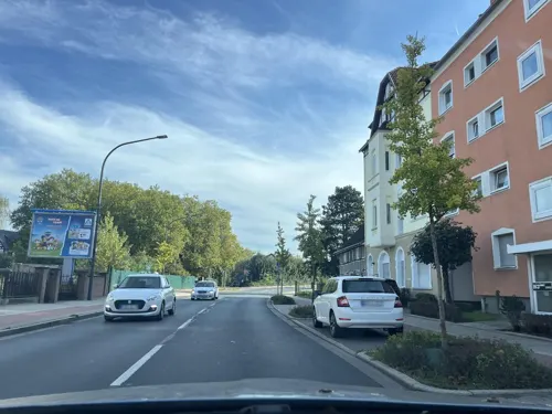
Schanzenbach Snack & Grill
Restaurant · Barbecue · 4.7 km
164 Kamener Straße, Hamm
Mo-Sa 11:30-22:00; Su 12:00-22:00

Gaststätte Dörnemann
Restaurant · Regional · 2.2 km
Tu,We,Fr,Sa 17:00+; Su 11:00+; PH 11:00+; Mo,Th off

Hofcafe Erdbeerhof Louven
Cafe · Cake · 4.0 km
1 Auf der Horst, Bönen
Sa, Su, PH 11:00-18:00 || 08:00-18:00 "in der Erdbeersaison"
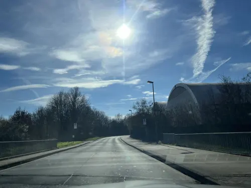
Restaurant und Pension "Fenglers Im Südfeld"
Restaurant · 4.8 km
5a Südfeld, Kamen
We-Mo 11:00-14:00,17:00-20:00+; 2023 Oct 01 We[1] off
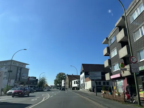
Wieland-Stuben
Restaurant · 4.9 km
84 Wielandstraße, Hamm
We, Th, Fr, Su 12:00-15:00, 18:00-24:00; Sa 18:00-24:00
Pizzeria Amico
Restaurant · Italian · 0.7 km
9 Lenningser Straße, Bönen
We-Su 17:00-22:00
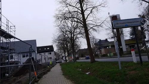
Pizzeria Restaurant Lire
Restaurant · Pasta, Noodles, Italian, Pizza, Italian Pizza, Mediterranean · 4.7 km
104a Weetfelder Straße
We-Mo 17:00-22:00
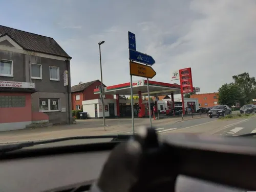


Haus Keitmann
Restaurant · Regional · 4.5 km
We-Sa 16:30+; Su 11:00-14:00,16:30+; Mo-Tu off
47 more on the map.
Where to stay3
Churches and places of worship25
Shopping19
Gas and EV charging6
Schools, colleges and libraries14
Healthcare8
Map of Bönen
208 places. The map loads OpenStreetMap tiles when you open it.
Getting there and nearby towns
Dortmund Airport (DTM) is the nearest airport with scheduled flights listed in OpenStreetMap, 14 km away.
- Kamen 7 km west, about 7 min by car
- Unna 9 km southwest, about 9 min by car
- Hamm 10 km northeast, about 10 min by car
- Werl 11 km southeast, about 11 min by car
- Werne 12 km northwest, about 12 min by car
- Wickede 13 km southwest, about 13 min by car
- Wickede 13 km southeast, about 13 min by car
- Fröndenberg 14 km south, about 14 min by car
- Holzwickede 14 km southwest, about 14 min by car
- Lünen 17 km west, about 17 min by car
Drive times are estimates from straight-line distance, not routes.
Local news
Headlines from INDB.
Reviews, tips and questions
Loading what members have shared...
Sources and licences
- GeoNames (CC BY 4.0): population, coordinates, regions and time zone
- Mapillary (see each image): photos
- OpenStreetMap contributors (ODbL 1.0): places, airports, map data
- Wikidata (CC0 1.0): elevation, founding date, time zone, website
- Wikimedia Commons (see each image): photos
- Wikipedia (CC BY-SA 4.0): overview and history text
Photo credits
- Alte Mühle Bönen, Tbachner, CC BY-SA 3.0
- Bönen, Germany - panoramio (100), Foto Fitti, CC BY-SA 3.0
- Bönen, Germany - panoramio (6), Foto Fitti, CC BY-SA 3.0
- Bönen, Germany - panoramio (99), Foto Fitti, CC BY-SA 3.0
- Radrevier.ruhr Knotenpunkt 27 Bahnhof Bönen Rettungspunkt, MKucharzewski, CC BY-SA 4.0
- Bönen, Germany - panoramio (101), Foto Fitti, CC BY-SA 3.0
- Radrevier.ruhr Knotenpunkt 27 Bahnhof Bönen Wegweiser, MKucharzewski, CC BY-SA 4.0
- Radrevier.ruhr Knotenpunkt 27 Bahnhof Bönen Karte, MKucharzewski, CC BY-SA 4.0
- Bönen, Germany - panoramio (9), Foto Fitti, CC BY-SA 3.0
- Bahnhof Bönen Empfangsgebäude Stellwerk, Tohma ( talk ), CC BY-SA 4.0
- Bönen, Germany - panoramio (103), Foto Fitti, CC BY-SA 3.0
- Bahnhof Bönen Gleise Bahnsteige, Tohma ( talk ), CC BY-SA 4.0
- Stellwerk Bönen, Tohma ( talk ), CC BY-SA 4.0
- Bönen, Germany - panoramio (98), Foto Fitti, CC BY-SA 3.0
- Bönen, Germany - panoramio (102), Foto Fitti, CC BY-SA 3.0
- Bönen, Germany - panoramio (104), Foto Fitti, CC BY-SA 3.0
- Bönen, Germany - panoramio (8), Foto Fitti, CC BY-SA 3.0
- Alte kirche boenen 2, Benutzer: Fishy, CC BY-SA 2.0 de
- Jakobuskirche, 2, Pelkum, Hamm, GeorgDerReisende, CC BY-SA 4.0
- RdI 18 008 - Halde Sundern, Maschinenjunge, CC BY-SA 3.0
- Grevinghof, Haupthaus von 1742, Moverbecks, CC BY-SA 3.0
- Haus Heeren1, Roland Arhelger, CC BY 2.5
- Baumgiganten 02, NickiNa, CC BY-SA 3.0
- Deciduous in Boenen, Sir Mole, CC BY-SA 4.0
- Stolperstein Bönen Zechenstraße 4 Adolf Poppert, Tomtom10, CC BY-SA 4.0
- Stolperstein Bönen Zechenstraße 4 Clara Poppert, Tomtom10, CC BY-SA 4.0
- Stolperstein Bönen Zechenstraße 4 Eva Kaufmann, Tomtom10, CC BY-SA 4.0
- Stolperstein Bönen Ecke Bahnhofstraße Zechenstraße Gerda Laronne, Tomtom10, CC BY-SA 4.0
- Stolperstein Bönen Ecke Bahnhofstraße Zechenstraße Laura Keil, Tomtom10, CC BY-SA 4.0
- Heeren-Sammlung Duncker (5367310), Alexander Duncker, Public domain
- Haus heyde graefte, Josef Cornelissen on de.wikipedia, CC BY-SA 3.0
- Haus Boegge in Bönen, Friedrich Wilhelm Ferdinand Theodor Albert (Magdeburg 1822-1867, Berlin), Alexander Duncker (1813-1897), Public domain
- Heeren-Werve, evangelische kerk foto8 2012-03-25 14.24, Michielverbeek, CC BY-SA 3.0
- Bahnhofstraße - panoramio (1), Foto Fitti, CC BY-SA 3.0
- Windmühle - panoramio (1), Foto Fitti, CC BY-SA 3.0
- Windmühle - panoramio (2), Foto Fitti, CC BY-SA 3.0
- Windmühle - panoramio (3), Foto Fitti, CC BY-SA 3.0
- Bahnhof - panoramio (1), Foto Fitti, CC BY-SA 3.0
- Feldstraße - panoramio, Foto Fitti, CC BY-SA 3.0
- Street-level photo, ptks, CC BY-SA 4.0
- Street-level photo, ptks, CC BY-SA 4.0
- Street-level photo, ptks, CC BY-SA 4.0
- Street-level photo, ptks, CC BY-SA 4.0
- Street-level photo, ptks, CC BY-SA 4.0
- Street-level photo, ptks, CC BY-SA 4.0
- Street-level photo, poxonline, CC BY-SA 4.0
- Street-level photo, ptks, CC BY-SA 4.0
- Street-level photo, mjacke, CC BY-SA 4.0
- Street-level photo, nrailuj, CC BY-SA 4.0
- Street-level photo, ptks, CC BY-SA 4.0
- Street-level photo, poxonline, CC BY-SA 4.0
- Street-level photo, ptks, CC BY-SA 4.0


Page built November 8, 2026. Spotted a mistake? Tell us or suggest a place.