


Fröndenberg, Germany
Fröndenberg/Ruhr
Fröndenberg is a town of 20,504 people in North Rhine-Westphalia, Germany.
Why visit Fröndenberg
Townapedia lists 83 museums and landmarks, 38 parks and trails, 109 places to eat, 14 places to stay and 28 attractions in and around town.
Highlights include Hof Dahlhoff, Hofladen Bauer Korte, Bismarckturm Unna and Kettenschmiede-Museum.
Weather in Fröndenberg
Forecast from MET Norway (CC BY 4.0). Full forecast
About Fröndenberg
Fröndenberg (German pronunciation: [ˈfʁœndn̩ˌbɛʁk] ; Westphalian: Frönnenbiärg) is a town in the district of Unna, in North Rhine-Westphalia, Germany.
From the Wikipedia article Fröndenberg (this version), under CC BY-SA 4.0.
Things to do28

Hof Dahlhoff
Farm and orchard · 4.4 km
5 Burgstraße, Fröndenberg/Ruhr
We 16:00-18:00; Fr 10:00-18:00; Sa 08:00-18:00; Su-Tu,Th off
Hofladen Bauer Korte
Farm and orchard · 3.5 km
44a Dentern, Menden (Sauerland)
Mo-Fr 09:00-12:30, Tu-Fr 15:00-18:30, Sa 09:00-13:00
Hähnchenhof zur Nieden
Farm and orchard · 2.9 km
5b Feldstraße, Fröndenberg/Ruhr
We,Th,Fr 09:00-13:00,15:00-18:00, Sa 09:00-13:00
Hof Bettermann
Farm and orchard · 6.2 km
Es werden Eier und Suppenhühner verkauft. Eine Vorbestellung von Eiern ist Telefonisch möglich.Je nach Saison werden Früchte wie Äpfel,...
26 Fröndenberger Straße, Unna
Mo-Su 08:00-20:00
Hofladen für Eierprodukte
Farm and orchard · 6.0 km
Eier , Kartoffeln, Honig u. Eierlikör
24/7


16 more on the map.
Museums and landmarks83

Bismarckturm Unna
Monument and historic site · 5.1 km
3 Hubert-Biernat-Straße, Fröndenberg/Ruhr
Apr-Oct: Su,PH 11:00-15:00; Nov-Mar: Su[1] 13:00-15:00

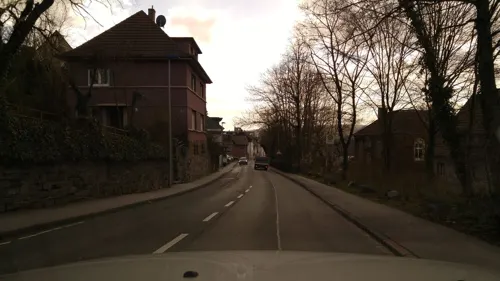

Centre for International Light Art
Museum · 8.8 km
Museum in Unna, Germany

Haus Schoppe
Monument and historic site · 4.1 km
1 Unnaer Straße, Fröndenberg/Ruhr

Äbtissinnen-Stiftsgebäude
Monument and historic site
2 Kirchplatz, Fröndenberg/Ruhr


Ehrenmal
Monument and historic site · 5.4 km
Gedenkstätte für die Opfer der Stadt Menden des 1. und 2. Weltkrieges an der Front und der Heimat
71 more on the map.
Parks, trails and playgrounds38

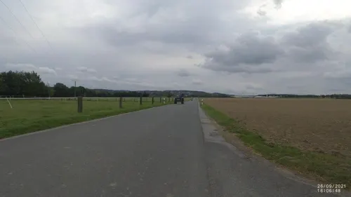





26 more on the map.
Restaurants and cafes109
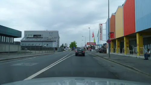
Athen
Restaurant · Greek · 3.4 km
23 Fröndenberger Straße, Menden (Sauerland)
Mo-Sa 18:00-23:00; Tu off; Su,PH 18:00-23:00

Bistro Monopoli
Restaurant · Italian · 4.6 km
2 Marktstraße, Menden (Sauerland)
Mo,We,Th 12:00-23:00; Fr-Su 09:00-23:00; Tu off
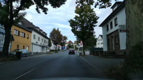
La Botte
Restaurant · Italian · 3.5 km
29 Werler Straße, Menden (Sauerland)
Tu-Su 11:00-14:30,17:00-22:30
Stiftskeller echt griechisch
Restaurant · Greek
2 Kirchplatz, Fröndenberg/Ruhr
Mo,We,Th 17:00-22:00; Fr,Sa 17:00-23:00; Su 12:00-21:00
Niehaves
Bakery · 4.4 km
5 Unnaer Straße, Menden (Sauerland)
Mo-Fr 07:00-18:00; Sa 07:00-13:00; Su,PH off


Schokoladenmanufaktur Sauerland
Cafe · 4.5 km
5 Kirchstraße, Menden (Sauerland)
Mo-Sa 09:00-18:00; Su, PH 09:00-18:00
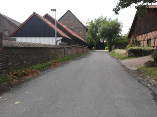
Törtchenschmiede Café & Konditorei
Cafe · Cake, Coffee Shop · 5.8 km
1 Kessebürener Dorfstraße, Unna
Th-Su 14:00-18:00
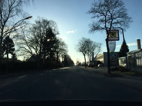


Athen-Grill UG
Restaurant · Greek · 4.3 km
122a Bräukerweg, Menden (Sauerland)
Mo-Su 11:00-22:00
97 more on the map.
History
The city as such is relatively new, it grew out of the reorganization in 1902 whereby the former independent villages Stift, Westick and village Froendenberg melted into the bigger village community of Fröndenberg. It obtained city status in 1952. The oldest record of the name `Frundeberg` is the papal document by Coelestin III from 1197.
The present day administrative infrastructure goes back to 1968 when the villages Altendorf, Ardey, Bausenhagen, Dellwig, Frohnhausen, Frömern, Langschede, Neimen, Ostbüren, Stentrop, Strickherdicke, the town of Warmen and the town of Fröndenberg were merged into one administrative unit. In 1969 the village Bentrop also became part of the Fröndenberg district.
From the History section of Fröndenberg on Wikipedia, under CC BY-SA 4.0.
Where to stay14
Churches and places of worship31
St. Maria Magdalena
Church · Roman Catholic · 2.3 km
2 Pfarrer-Wiggen-Straße, Menden (Sauerland)
St. Paulus
Church · Roman Catholic · 4.1 km
4 Beethovenstraße, Menden (Sauerland)
Shopping30
Gas and EV charging21
Schools, colleges and libraries23
Gemeinschaftsgrundschule Platte Heide
School · 4.8 km
2 Malvenweg, Menden (Sauerland)
Gesamtschule Menden Haus 1
School · 5.3 km
36 Windthorststraße, Menden (Sauerland)
Gesamtschule Menden Haus 2
School · 5.2 km
34 Windthorststraße, Menden (Sauerland)
Healthcare14
Map of Fröndenberg
250 places. The map loads OpenStreetMap tiles when you open it.
Getting there and nearby towns
Dortmund Airport (DTM) is the nearest airport with scheduled flights listed in OpenStreetMap, 12 km away.
- Wickede 7 km east, about 7 min by car
- Unna 9 km northwest, about 9 min by car
- Hemer 10 km south, about 10 min by car
- Holzwickede 10 km west, about 10 min by car
- Iserlohn 12 km southwest, about 12 min by car
- Wickede 12 km northwest, about 12 min by car
- Werl 13 km northeast, about 13 min by car
- Schwerte 14 km west, about 14 min by car
- Kamen 15 km northwest, about 15 min by car
- Dortmund 21 km west, about 21 min by car
Drive times are estimates from straight-line distance, not routes.
Local news
Headlines from INDB.
Reviews, tips and questions
Loading what members have shared...
Sources and licences
- GeoNames (CC BY 4.0): population, coordinates, regions and time zone
- Mapillary (see each image): photos
- OpenStreetMap contributors (ODbL 1.0): places, airports, map data
- Wikidata (CC0 1.0): elevation, founding date, time zone, website, landmarks and historic places
- Wikimedia Commons (see each image): photos
- Wikipedia (CC BY-SA 4.0): overview and history text
Photo credits
- Fröndenberg-Marienkirche-1-Asio, Asio otus, CC BY-SA 3.0
- Mahnmal in Fröndenberg, Pfefferkorn1979, CC BY-SA 4.0
- Fröndenberg-Freiheitsstr1-1-Asio, Asio otus, CC BY-SA 3.0
- Fröndenberg-Kirchplatz2-2-Asio, Asio otus, CC BY-SA 3.0
- Fröndenberg-Kirchplatz2-1-Asio, Asio otus, CC BY-SA 3.0
- Fröndenberg-AufDemSodenkamp1-1-Asio, Asio otus, CC BY-SA 3.0
- Fröndenberg-AufDemSodenkamp3-1-Asio, Asio otus, CC BY-SA 3.0
- Fröndenberg-AufderFreiheit10-1-Asio, Asio otus, CC BY-SA 3.0
- Stolpersteine Fröndenberg Kirchplatz 1, Gmbo 2013, CC0
- 02022-Fröndenberg-1901-Stiftskirche-Brück & Sohn Kunstverlag, Brück & Sohn Kunstverlag Meißen, CC0
- 02317-Fröndenberg-1902-Kirche-Brück & Sohn Kunstverlag, Brück & Sohn Kunstverlag Meißen, CC0
- 02572-Fröndenberg-1902-Marktplatz-Brück & Sohn Kunstverlag, Brück & Sohn Kunstverlag Meißen, CC0
- 02318-Fröndenberg-1902-Straße-Brück & Sohn Kunstverlag, Brück & Sohn Kunstverlag Meißen, CC0
- Stolperstein Fröndenberg Kirchplatz 1 Johanna Himmelstern, Gmbo 2013, CC0
- Fröndenberg-Markt3-1-Asio, Asio otus, CC BY-SA 3.0
- Stolperstein Fröndenberg Kirchplatz 1 Helene Simons, Gmbo 2013, CC0
- Stolperstein Fröndenberg Kirchplatz 1 Else Bernstein, Gmbo 2013, CC0
- Stolperstein Fröndenberg Kirchplatz 1 Rosa Bernstein, Gmbo 2013, CC0
- Stolperstein Fröndenberg Kirchplatz 1 Jeanette Bernstein, Gmbo 2013, CC0
- Stolpersteinlage Fröndenberg Kirchplatz 1, Gmbo 2013, CC0
- Fröndenberg-ImStift19-2-Asio, Asio otus, CC BY-SA 3.0
- Fröndenberger Stiftskirche in Bleiglaskunst, Enyavar, CC BY-SA 4.0
- Gedenktafel Fröndenberg jüdische Opfer, Gmbo 2013, CC0
- Fröndenberg-AufDemSodenkamp6-1-Asio, Asio otus, CC BY-SA 3.0
- Stolperstein Fröndenberg Kirchplatz 4 Martha Eichengrün, Gmbo 2013, CC0
- Stolperstein Fröndenberg Kirchplatz 4 Mathilde Mirjam Eichengrün, Gmbo 2013, CC0
- Stolperstein Fröndenberg Kirchplatz 4 Isaak Eichengrün, Gmbo 2013, CC0
- Stolperstein Fröndenberg Kirchplatz 4 Jacob Eichengrün, Gmbo 2013, CC0
- Stolperstein Fröndenberg Kirchplatz 4 Ludwig Eichengrün, Gmbo 2013, CC0
- Stolperstein Fröndenberg Kirchplatz 4 Ilse Eichengrün, Gmbo 2013, CC0
- Stolpersteine Fröndenberg Kirchplatz 4, Gmbo 2013, CC0
- Stolpersteinlage Fröndenberg Kirchplatz 4, Gmbo 2013, CC0
- Unna Lindenbrauerei Kamin Fibonacci IMGP3086, smial, CC BY-SA 2.0 de
- Burg Ardey, Mauer, Marcin-Janek, CC BY-SA 4.0
- Menden-Rodenberg1-Bubo, Bubo, CC BY-SA 3.0
- Froendenberg-Froemern1-Bubo, Bubo, CC BY-SA 3.0
- Menden-HeiligGeistKirche2-Asio, Asio otus, CC BY-SA 3.0
- Wickede (Ruhr) Kloster Scheda FFSN-1159, Petra Klawikowski, CC BY-SA 3.0
- Haus Schoppe Wohnturm, Simplicius, CC BY-SA 3.0
- Huckenohl, No machine-readable author provided. Rusti~commonswiki assumed (based on copyright claims)., Public domain
- Froendenberg-Justizvollzugskrankenhaus1-Bubo, Bubo, CC BY-SA 3.0
- Froendenberg katholische Kirche IMGP1150 wp, smial, CC BY-SA 2.0 de
- Froendenberg Stiftskirche Turm IMGP4126 wp, smial, CC BY-SA 2.0 de
- Menden-Boesperde-Kirche2-Bubo, Bubo, CC BY-SA 3.0
- Fröndenberg Strickherdicker Bachtal FFSW PK 5437, Petra Klawikowski, CC BY-SA 3.0
- Oesbern-StAloysius1-Asio, Asio otus, CC BY-SA 3.0
- Menden-StWalburgis-1-Asio, Asio otus, CC BY-SA 3.0
- Auf dem Stein, a.d. Ruhr, Fin-den-der, CC BY-SA 4.0
- Menden, Naturschutzgebiet "Auf dem Stein" II, Fin-den-der, CC BY-SA 4.0
- NSG UN-042 Obergraben westlich Wickede (1), Lotte76, CC BY-SA 4.0
- NSG Rothenberg (Menden), Totholz, Fin-den-der, CC BY-SA 4.0
- Bismarckturm (Unna), JoSch095, CC BY-SA 4.0
- Street-level photo, heetENkoel, CC BY-SA 4.0
- Street-level photo, cuspis, CC BY-SA 4.0
- Street-level photo, cuspis, CC BY-SA 4.0
- Street-level photo, cuspis, CC BY-SA 4.0
- Street-level photo, heetENkoel, CC BY-SA 4.0
- Street-level photo, flugyflay, CC BY-SA 4.0
- Street-level photo, VIA_DT, CC BY-SA 4.0
- Street-level photo, flugyflay, CC BY-SA 4.0
- Street-level photo, cuspis, CC BY-SA 4.0
- Street-level photo, cuspis, CC BY-SA 4.0
- Street-level photo, saschahaberkorn, CC BY-SA 4.0
- Street-level photo, flugyflay, CC BY-SA 4.0
- Street-level photo, cuspis, CC BY-SA 4.0
- Street-level photo, cuspis, CC BY-SA 4.0
- Street-level photo, derlipper, CC BY-SA 4.0
- Street-level photo, cuspis, CC BY-SA 4.0
- Street-level photo, saschahaberkorn, CC BY-SA 4.0
- Street-level photo, TillSiter, CC BY-SA 4.0
- Street-level photo, cuspis, CC BY-SA 4.0
- Street-level photo, flugyflay, CC BY-SA 4.0
- Street-level photo, cuspis, CC BY-SA 4.0
- Street-level photo, VIA_DT, CC BY-SA 4.0


Page built November 8, 2026. Spotted a mistake? Tell us or suggest a place.