


Why visit Bovenden
Townapedia lists 35 museums and landmarks, 89 parks and trails, 144 places to eat, 13 places to stay and 41 attractions in and around town.
Highlights include Theater im OP, Unikino Göttingen, Geowissenschaftliches Museum der Universität Göttingen and Bismarckstein.
Weather in Bovenden
Forecast from MET Norway (CC BY 4.0). Full forecast
About Bovenden
Bovenden is a municipality in the district of Göttingen, in Lower Saxony, Germany. In 2020 the population in the eight villages belonging to the municipality was 13,891.
From the Wikipedia article Bovenden (this version), under CC BY-SA 4.0.
Things to do41

Theater im OP
Cinema and theater · 5.3 km
Community theater at the Georg-August-university Göttingen

Unikino Göttingen
Cinema and theater · 4.5 km
Klinikum Hörsaal 552
Mo 19:30-22:00 "siehe Spielplan"; PH off

Angersteiner Hofladen
Farm and orchard · 2.8 km
8 Alte Straße, Nörten-Hardenberg
Mo-Su,PH 08:00-21:00
Meckes Hofladen
Farm and orchard · 3.6 km
11 Im Alten Dorfe, Göttingen
Mo-Sa 08:00-20:00; PH off
Selbstpflück-Erdbeerplantage Mecke
Farm and orchard · 4.3 km
Jun: Mo-Sa 08:00-20:00; Jun: Su 08:00-15:00; PH off

Erdbeeren Mecke
Farm and orchard
Saisonaler Stand in Form einer Erdbeere
May 28-Jul 1 Mo-Fr 09:00-19:00; May 28-Jul 1 Sa 09:00-16:00; PH off
Erdbeeren Mecke
Farm and orchard · 4.0 km
Saisonaler Stand in Form einer Erdbeere
May 28-Jul 1 Mo-Fr 09:00-18:00; Sa 09:00-15:00; PH off
29 more on the map.
Museums and landmarks35

Geowissenschaftliches Museum der Universität Göttingen
Museum · 3.9 km
3 Goldschmidtstraße, Göttingen
Mo-Fr 09:00-17:00; Su 11:00-16:00



Ethnological Collection of the Georg-August University Göttingen
Museum · 6.1 km
Museum in Göttingen, Germany



Eichen-Halbstamm
Monument and historic site
Fälldatum 3145±10 v.Chr.; Endalter 3190 v.Chr.
Eisenjoch eines Zyklotronmagneten
Monument and historic site · 3.8 km
Zyklotron, Eisenjoch des Magneten, II. Physikalisches Institut, Im Betrieb 1962-1998 in der Bunsenstraße 7-9, Masse ca. 250 Tonnen,...
23 more on the map.
Parks, trails and playgrounds89
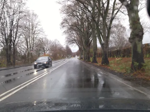
Parkbad Weende
Sports field and stadium · 2.5 km
1 Am Weendespring, Göttingen
Mo-Fr 09:00-20:00; Sa,Su,PH 09:00-19:00; Sep 08-Dec 31; Jan 01-May 15 off

Ratsburgbad Reyershausen
Sports field and stadium · 4.7 km
Borntalstraße, Bovenden
Mo-Fr 09:00-20:00; Sa 09:00-19:00; PH off; Sep 10-May 5 off

Bezirkssportanlage Maschpark
Sports field and stadium · 4.9 km
1 Schützenanger, Göttingen

Freibad Nikolausberg
Sports field and stadium · 4.5 km
998 Hainbuchenring, Göttingen
Mo-Fr 14:30-19:00; Sa,Su,PH 12:00-19:00; SH 13:00-19:00; Sep 06-May 05 off


77 more on the map.
Restaurants and cafes144


một
Restaurant · Asian, Sushi · 4.1 km
Asian;Sushi;Vietnamese
58 Holtenser Landstraße, Göttingen
Tu 17:30-22:00; We-Mo,Su,PH 11:30-15:00,17:30-22:00
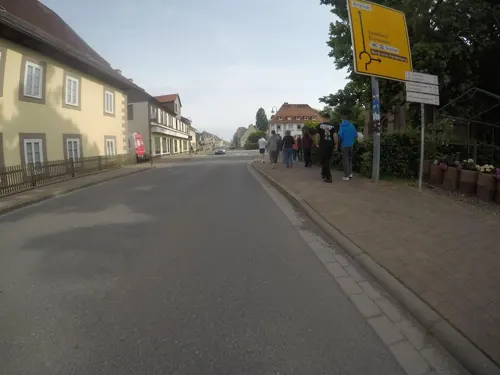
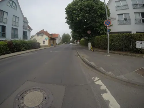
Argentina Steakhouse
Restaurant · Steak House · 2.8 km
148 Hannoversche Straße, Göttingen
Tu-Sa 11:30-14:00,17:30-21:30, Tu-Sa 14:00-14:30 "Bar only", Tu-Sa...
Da Daniele
Restaurant · Italian · 2.8 km
21 Reinhard-Rube-Straße, Göttingen
We-Sa 11:30-14:30,17:30-22:00; Su 11:30-14:30,17:30-21:00; Mo,Tu off
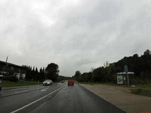
Göttinger Werkstätten Gastro / öffentliche Kantine
Restaurant · Kantine · 4.9 km
1 August-Spindler-Straße, Göttingen
Mo-Fr 07:00-10:00; Mo-Th 11:30-13:00
Hermann
Cafe · Coffee Shop · 3.3 km
1 Genfstraße, Göttingen
Mo-Fr 06:30-18:30; Sa 06:30-16:00; Su,PH 08:00-16:00
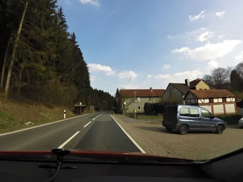
Hotel Restaurant Rodetal
Restaurant · German · 4.7 km
1 Rodetal, Nörten-Hardenberg
Tu-Sa 12:00-21:00; Su,PH 12:00-20:00
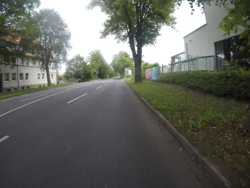


Küster
Cafe · 2.5 km
1a Am Weendespring, Göttingen
Mo-Fr 06:00-18:00; Sa 06:00-17:00; Su,PH 08:00-17:00; easter +1...
132 more on the map.
History
The village of Bovenden is first mentioned in a deed by Otto I from February 2, 949, in which the future emperor certifies a barter with Hersfeld Abbey. In this first designation the toponym was Bobbenzunon. In the following years the village was also referred to as Bobbantun (1141), Bobentun (1170), and Bobentum (1191). Since the 13th century the name Boventen was commonly used and since the end of the 16th century today's designation Bovenden was introduced. The origin of the town name is contended. One derivation is the combination of the personal name Bovo or Bob(b)o with the suffix -tun. The suffix -tun is Low German and means "fence, confinement, or fenced area". Consequently, the name might refer to a settlement founded or governed by Bobo. Another interpretation is that the stem of the name is derived from bioðan (=„above“, cf. Low German boven), referring to the contrained settlement above the flood plain of the Leine.
From the History section of Bovenden on Wikipedia, under CC BY-SA 4.0.
Where to stay13
Best Western Am Papenberg
Motel and hotel · 4.1 km
2 Hermann-Rein-Straße, Göttingen
Holtzendorff Hotel Garni
Motel and hotel · 4.9 km
4 Ernst-Ruhstrat-Straße, Göttingen
Churches and places of worship24
Friedenskirche
Church · Lutheran · 4.2 km
21 Auf dem Hagen, Göttingen
Shopping111
Gas and EV charging48
Schools, colleges and libraries48
Bibliothek der Fakultät für Geowissenschaften und Geographie
Library · 4.0 km
5 Goldschmidtstraße, Göttingen
Max Planck Institute for Solar System Research
School · 3.6 km
3 Justus-von-Liebig-Weg, Göttingen
Healthcare16
Psychiatrische Institutsambulanz - Außenstelle Am Holtenser Berg
Hospital · 3.2 km
17b Genfstraße, Göttingen
Map of Bovenden
250 places. The map loads OpenStreetMap tiles when you open it.
Getting there and nearby towns
Kassel Airport (KSF) is the nearest airport with scheduled flights listed in OpenStreetMap, 41 km away.
- Göttingen 6 km south, about 6 min by car
- Rosdorf 10 km south, about 10 min by car
- Northeim 14 km north, about 14 min by car
- Uslar 21 km west, about 21 min by car
- Duderstadt 25 km east, about 25 min by car
- Einbeck 26 km north, about 26 min by car
- Hannoversch Münden 27 km southwest, about 27 min by car
- Witzenhausen 28 km south, about 28 min by car
- Dassel 29 km northwest, about 29 min by car
- Herzberg am Harz 30 km east, about 30 min by car
Drive times are estimates from straight-line distance, not routes.
Local news
Headlines from INDB.
Reviews, tips and questions
Loading what members have shared...
Sources and licences
- GeoNames (CC BY 4.0): population, coordinates, regions and time zone
- Mapillary (see each image): photos
- OpenStreetMap contributors (ODbL 1.0): places, airports, map data
- Wikidata (CC0 1.0): elevation, founding date, time zone, website, landmarks and historic places
- Wikimedia Commons (see each image): photos
- Wikipedia (CC BY-SA 4.0): overview and history text
Photo credits
- Bovenden Jagdschloss 02, Jan Stubenitzky ( Dehio ), CC BY-SA 3.0
- Untere Gasse, 1, Bovenden, Landkreis Göttingen, GeorgDerReisende, CC BY-SA 4.0
- Auf dem Thie 4, 1, Bovenden, Landkreis Göttingen, GeorgDerReisende, CC BY-SA 4.0
- Auf dem Thie 2, 1, Bovenden, Landkreis Göttingen, GeorgDerReisende, CC BY-SA 4.0
- Bovenden Jagdschloss, Jan Stubenitzky ( Dehio ), CC BY-SA 3.0
- Auf dem Thie 5, 1, Bovenden, Landkreis Göttingen, GeorgDerReisende, CC BY-SA 4.0
- Auf dem Thie 10, 1, Bovenden, Landkreis Göttingen, GeorgDerReisende, CC BY-SA 4.0
- Auf dem Thie 9, 1, Bovenden, Landkreis Göttingen, GeorgDerReisende, CC BY-SA 4.0
- Tor, 1, Auf dem Thie 4, Bovenden, Landkreis Göttingen, GeorgDerReisende, CC BY-SA 4.0
- Auf dem Thie 3, 1, Bovenden, Landkreis Göttingen, GeorgDerReisende, CC BY-SA 4.0
- Auf dem Thie 9, 4, Bovenden, Landkreis Göttingen, GeorgDerReisende, CC BY-SA 4.0
- Zehntenstraße 4-6, 2, Bovenden, Landkreis Göttingen, GeorgDerReisende, CC BY-SA 4.0
- Im Bache 7-9-11, 1, Bovenden, Landkreis Göttingen, GeorgDerReisende, CC BY-SA 4.0
- Im Bache 11, 2, Bovenden, Landkreis Göttingen, GeorgDerReisende, CC BY-SA 4.0
- Zehntenstraße 21, 1, Bovenden, Landkreis Göttingen, GeorgDerReisende, CC BY-SA 4.0
- Zehntenstraße 4-6, 1, Bovenden, Landkreis Göttingen, GeorgDerReisende, CC BY-SA 4.0
- Auf dem Thie 11, 1, Bovenden, Landkreis Göttingen, GeorgDerReisende, CC BY-SA 4.0
- Auf dem Thie 11, 4, Bovenden, Landkreis Göttingen, GeorgDerReisende, CC BY-SA 4.0
- Auf dem Thie 8, 1, Bovenden, Landkreis Göttingen, GeorgDerReisende, CC BY-SA 4.0
- Auf dem Thie, 1, Bovenden, Landkreis Göttingen, GeorgDerReisende, CC BY-SA 4.0
- Im Bache 7, 2, Bovenden, Landkreis Göttingen, GeorgDerReisende, CC BY-SA 4.0
- Auf dem Thie, 2, Bovenden, Landkreis Göttingen, GeorgDerReisende, CC BY-SA 4.0
- Im Bache 9, 2, Bovenden, Landkreis Göttingen, GeorgDerReisende, CC BY-SA 4.0
- Zehntenstraße 25, 1, Bovenden, Landkreis Göttingen, GeorgDerReisende, CC BY-SA 4.0
- Auf dem Plane 6, 1, Bovenden, Landkreis Göttingen, GeorgDerReisende, CC BY-SA 4.0
- Im Bache 24a, 2, Bovenden, Landkreis Göttingen, GeorgDerReisende, CC BY-SA 4.0
- Im Bache 24-24a, 1, Bovenden, Landkreis Göttingen, GeorgDerReisende, CC BY-SA 4.0
- Auf dem Plane 8, 1, Bovenden, Landkreis Göttingen, GeorgDerReisende, CC BY-SA 4.0
- Im Bache 24, 2, Bovenden, Landkreis Göttingen, GeorgDerReisende, CC BY-SA 4.0
- Im Bache 27, 1, Bovenden, Landkreis Göttingen, GeorgDerReisende, CC BY-SA 4.0
- Im Bache 48, 1, Bovenden, Landkreis Göttingen, GeorgDerReisende, CC BY-SA 4.0
- Untere Straße 25, 2, Bovenden, Landkreis Göttingen, GeorgDerReisende, CC BY-SA 4.0
- Zehntenstraße 15, 1, Bovenden, Landkreis Göttingen, GeorgDerReisende, CC BY-SA 4.0
- Bovenden, St. Martini (25), Subbass1, CC BY-SA 4.0
- Bovenden, St. Martini (26), Subbass1, CC BY-SA 4.0
- Untere Straße 25, 4, Bovenden, Landkreis Göttingen, GeorgDerReisende, CC BY-SA 4.0
- Auf dem Plane 14, 1, Bovenden, Landkreis Göttingen, GeorgDerReisende, CC BY-SA 4.0
- Im Bache 50, 4, Bovenden, Landkreis Göttingen, GeorgDerReisende, CC BY-SA 4.0
- Bovenden, St. Martini (02), Subbass1, CC BY-SA 4.0
- Auf dem Plane 1, 1, Bovenden, Landkreis Göttingen, GeorgDerReisende, CC BY-SA 4.0
- ThOP front, Carlos-X, CC BY-SA 4.0
- Goettingen fg01, Fritz Geller-Grimm, CC BY-SA 3.0
- Paulinerkirche Göttingen, Stefan Flöper, CC BY-SA 4.0
- StMartini GrEllershausen 01, Jan Stubenitzky ( Dehio ), CC BY-SA 4.0
- Göttingen - Sternwarte, Johannes Poets, CC BY-SA 4.0
- Stronghold Noerten-Hardenberg 2b, Unknown author, CC BY-SA 3.0
- Göttingen - Stadtteil Nordstadt - Robert-Koch-Straße 40 (Universitätsklinikum) - panoramio, Panoramafreiheit, CC BY 3.0
- Acer crataegifolium 3, Qwert1234, CC BY-SA 3.0
- Neuer bot gart goettingen, Magnus Mertens, CC BY-SA 2.5
- Weender Krankenhaus Nordwestseite, Jan Stubenitzky ( Dehio ), CC BY-SA 4.0
- Geoscience Museum Göttingen Entrance, Stefan Bellini, CC0
- Göttingen Neuapostolische Kirche, Reise Reise, CC BY-SA 4.0
- Göttingen Hotel Astoria, Reise Reise, CC BY-SA 3.0
- Göttingen Brüder-Grimm-Schule, Reise Reise, CC BY-SA 3.0
- Christuskirche Noerten, Jan Stubenitzky ( Dehio ), CC BY-SA 3.0
- Goettingen-Weende - St. Petri-Kirche 2012 e, Schtone, CC BY-SA 3.0
- Kirche zu Reyershausen, Barbara Arand, CC BY-SA 4.0
- Bovenden, St. Martini (01), Subbass1, CC BY-SA 4.0
- Burg Plesse 02, Jan Stubenitzky ( Dehio ), CC BY-SA 3.0
- MPI Sonnensystemforschung 1, Tine, CC BY-SA 4.0
- Friedenskirche Göttingen, 2021, Rendor Thuces Al'Nachkar, CC BY-SA 4.0
- Street-level photo, changchun1, CC BY-SA 4.0
- Street-level photo, mfa, CC BY-SA 4.0
- Street-level photo, mfa, CC BY-SA 4.0
- Street-level photo, mfa, CC BY-SA 4.0
- Street-level photo, mfa, CC BY-SA 4.0
- Street-level photo, Hightower-, CC BY-SA 4.0
- Street-level photo, Hightower-, CC BY-SA 4.0
- Street-level photo, hotteliene, CC BY-SA 4.0
- Street-level photo, mfa, CC BY-SA 4.0
- Street-level photo, bitnapper, CC BY-SA 4.0
- Street-level photo, moenk, CC BY-SA 4.0
- Street-level photo, moenk, CC BY-SA 4.0
- Street-level photo, mfa, CC BY-SA 4.0
- Street-level photo, hotteliene, CC BY-SA 4.0


Page built November 8, 2026. Spotted a mistake? Tell us or suggest a place.