


Why visit Uslar
Townapedia lists 67 museums and landmarks, 22 parks and trails, 58 places to eat, 23 places to stay and 49 attractions in and around town.
Highlights include Alaris Schmetterlingspark, Ahne-Berg, Heimat-Museum Bodenfelde and Museum Uslar.
Weather in Uslar
Forecast from MET Norway (CC BY 4.0). Full forecast
About Uslar
Uslar (German pronunciation: [ˈʊslaʁ] ; Eastphalian: Üsseler) is a town and a municipality in southern Lower Saxony, Germany, in the south-western part of the district of Northeim, and in the south of the hills of Solling forest which are part of the Weser Uplands.
From the Wikipedia article Uslar (this version), under CC BY-SA 4.0.
Things to do49
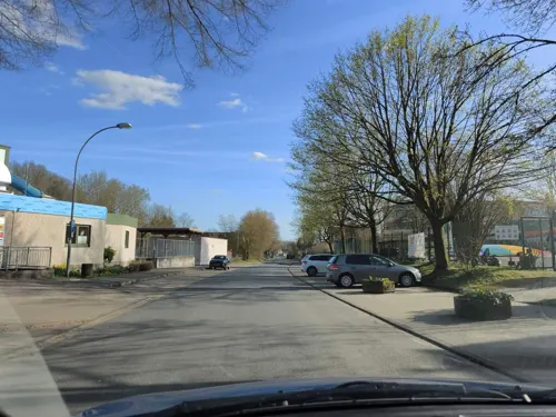
Alaris Schmetterlingspark
Zoo and aquarium · 1.4 km
7 Zur Schwarzen Erde, Uslar
Tu-Sa 10:00-17:00; Su 10:00-17:00

37 more on the map.
Museums and landmarks67

Heimat-Museum Bodenfelde
Museum · 5.6 km
4 Blumenstraße, Bodenfelde





55 more on the map.
Parks, trails and playgrounds22

Wälder am Schäferstein und am Hohen Rott bei Verliehausen
Hiking and trails · 6.8 km

Weseraltarm bei Gieselwerder
Hiking and trails · 8.1 km
Altarm der Weser mit angrenzenden Grünlandflächen, am nordöstlichen Ortsrand von Gieselwerder.



10 more on the map.
Restaurants and cafes58
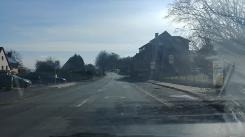
Fröhlich-Höche
Restaurant · German · 6.1 km
6 Amelither Straße, Uslar
Th-Tu 11:30-13:30,17:30-20:30; We off
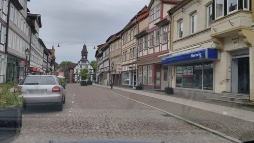
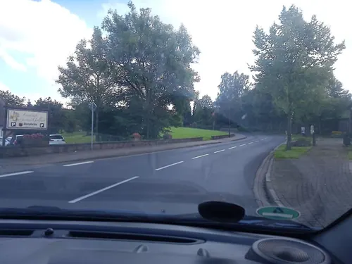
Landcafé im Gasthaus Gollart
Cafe · Regional · 4.5 km
19 Sollingstraße, Uslar
Fr-Su,PH 13:00-18:00; 2026 Mar 23-Apr 02 off; 2026 Aug 31-Sep 17...
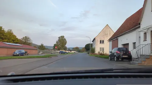
Leon
Restaurant · Pizza · 8.5 km
23 In der Klappe, Wesertal
May-Sep: Mo-Su 11:00-22:00; Oct-Apr: Mo,We,Th,Fr...
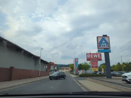
Bäckerei Beckmann
Bakery · 0.6 km
24 Wiesenstraße, Uslar
Mo-Fr 06:00-18:00; Sa 06:00-16:30; Su 07:00-17:00
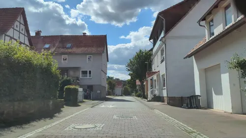
Gasthaus Zum Reinhardswald
Restaurant · 7.7 km
20 Dorfstraße, Wesertal
Mo,Tu,We,Fr,Sa,Su 08:00-21:00; Nov-Mar: We off
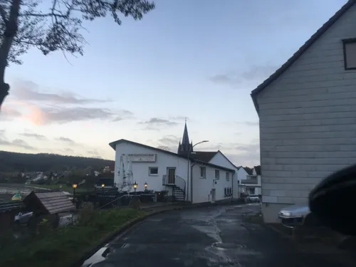
Restaurant und Café Kretaliano
Restaurant · Greek · 5.8 km
12 Hafenstraße, Bodenfelde
Tu-Sa 17:30-22:00; Su,PH 11:30-22:00
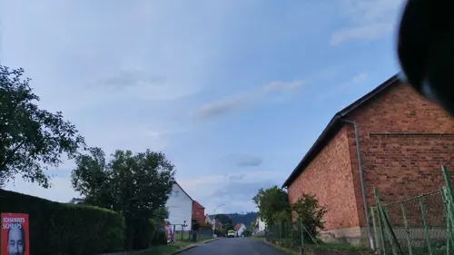
Scheunenbrennerei Strautmann
Bar and pub · 6.0 km
4 Schlichtelke, Bodenfelde
Th-Fr 16:00-18:00; Sa 10:00-13:00
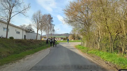
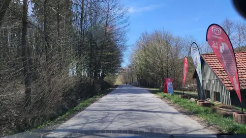


Delphi
Restaurant · Greek · 8.6 km
2 Brückenstraße, Wesertal
Mo off
46 more on the map.
History
In the second half of the 12th century, the Welfen-dynasty started to rule Uslar until the 19th century.
In 1599, the castle of Freudenthal was built, which burned down in 1612.
From the History section of Uslar on Wikipedia, under CC BY-SA 4.0.
Where to stay23
Churches and places of worship27
Shopping13
Gas and EV charging9
Schools, colleges and libraries13
Grundschule Volpriehausen (Rehbachschule)
School · 7.3 km
5 Raiffeisenstraße, Uslar
Healthcare5
Map of Uslar
250 places. The map loads OpenStreetMap tiles when you open it.
Getting there and nearby towns
Kassel Airport (KSF) is the nearest airport with scheduled flights listed in OpenStreetMap, 31 km away.
- Göttingen 25 km southeast, about 25 min by car
- Hofgeismar 25 km southwest, about 25 min by car
- Fuldatal 31 km south, about 31 min by car
- Vellmar 35 km south, about 35 min by car
- Bad Gandersheim 36 km northeast, about 36 min by car
- Kassel 39 km south, about 39 min by car
- Warburg 39 km southwest, about 39 min by car
- Witzenhausen 38 km southeast, about 38 min by car
- Kaufungen 42 km south, about 42 min by car
- Lohfelden 44 km south, about 44 min by car
Drive times are estimates from straight-line distance, not routes.
Local news
Headlines from INDB.
Reviews, tips and questions
Loading what members have shared...
Sources and licences
- GeoNames (CC BY 4.0): population, coordinates, regions and time zone
- Mapillary (see each image): photos
- OpenStreetMap contributors (ODbL 1.0): places, airports, map data
- Wikidata (CC0 1.0): elevation, founding date, time zone, website
- Wikimedia Commons (see each image): photos
- Wikipedia (CC BY-SA 4.0): overview and history text
Photo credits
- Uslar Lange Str 2012, Uwe Barghaan, CC BY-SA 3.0
- Uslar - Mühlentor 4, 6, 8 - Museum (MGK18384), Markus G. Klötzer, CC BY-SA 4.0
- Uslar - Mühlentor 1 (MGK18381), Markus G. Klötzer, CC BY-SA 4.0
- Uslar - Mühlentor 4, 6, 8 - Museum (MGK18387), Markus G. Klötzer, CC BY-SA 4.0
- Stolpersteinlage Uslar Mauerstraße 1, Gmbo 2013, CC0
- Uslar - Mühlentor 4, 6, 8 - Museum (MGK18386), Markus G. Klötzer, CC BY-SA 4.0
- Alte Schule Uslar, Jan Stubenitzky ( Dehio ), CC BY-SA 4.0
- Glocke ostlich StJohannis Uslar WeuleBockenem, Sipalius, CC BY-SA 4.0
- Uslar - Mühlentor 4, 6, 8 - Museum (MGK18393), Markus G. Klötzer, CC BY-SA 4.0
- Uslar - Mühlentor 2 (MGK18815), Markus G. Klötzer, CC BY-SA 4.0
- Uslar - Mühlentor 2 (MGK18814), Markus G. Klötzer, CC BY-SA 4.0
- St Johnannis Uslar Innen Altar, Clemensfranz, CC BY-SA 4.0
- Uslar - Mühlentor 4, 6, 8 - Museum (MGK18371), Markus G. Klötzer, CC BY-SA 4.0
- Uslar - Mühlentor 4, 6, 8 - Museum (MGK18372), Markus G. Klötzer, CC BY-SA 4.0
- StJohannis Uslar Altar, Dehio, CC BY-SA 4.0
- St Johannis Uslar Orgel, Clemensfranz, CC BY-SA 4.0
- Uslar - Der Riese im Brunnen, Clisch, CC BY-SA 4.0
- Uslar - Lange Straße 1 - Schild (MGK18369), Markus G. Klötzer, CC BY-SA 4.0
- Altes Amtsgericht Uslar, Jan Stubenitzky ( Dehio ), CC BY-SA 3.0
- Alter Amtshof Uslar, Dehio, CC BY-SA 3.0
- Uslar Graftplatz 1, Dehio, CC BY-SA 3.0
- Uslar - Graftstraße 2 (MGK18811), Markus G. Klötzer, CC BY-SA 4.0
- Uslar - Graftstraße 2 (MGK18364), Markus G. Klötzer, CC BY-SA 4.0
- Stolpersteinlage Uslar Lange Straße 3, Gmbo 2013, CC0
- Lange Straße 12 Uslar, Clemensfranz, CC BY-SA 3.0
- Uslar - Graftstraße 2 (MGK18353), Markus G. Klötzer, CC BY-SA 4.0
- Uslar - Graftplatz 4 (MGK18392), Markus G. Klötzer, CC BY-SA 4.0
- Altes Gefaengnis Uslar, Jan Stubenitzky ( Dehio ), CC BY-SA 3.0
- Uslar - Lange Straße 1 - Infoschild Rathaus (MGK18368), Markus G. Klötzer, CC BY-SA 4.0
- Uslar - Graftstraße 1 (MGK18347), Markus G. Klötzer, CC BY-SA 4.0
- Uslar - Lange Straße 1 (MGK18366), Markus G. Klötzer, CC BY-SA 4.0
- Rathaus Uslar, Clemensfranz, CC BY-SA 3.0
- Uslar - Graftstraße 7 (MGK18346), Markus G. Klötzer, CC BY-SA 4.0
- Uslar - Graftstraße 5 (MGK18345), Markus G. Klötzer, CC BY-SA 4.0
- Uslar - Graftstraße 4 (MGK18348), Markus G. Klötzer, CC BY-SA 4.0
- Uslar - Graftstraße 4 (MGK18351), Markus G. Klötzer, CC BY-SA 4.0
- Stolpersteine Uslar Lange Straße 3, Gmbo 2013, CC0
- Uslar - Graftplatz 4 (MGK18389), Markus G. Klötzer, CC BY-SA 4.0
- Stolperstein Uslar Lange Straße 3 Hugo Hammerschlag, Gmbo 2013, CC0
- Lange Straße 18 Uslar, Clemensfranz, CC BY-SA 3.0
- Gieselwerder 01, Presse03, CC BY 2.5
- Baptistenkapelle Uslar, GregorHelms, CC BY-SA 3.0
- Vernawahlshausen St Margarethe open01, Jahn Henne ., CC BY-SA 3.0
- Oedelsheim Martinskirche, Uwe Barghaan, CC BY 3.0
- Uslar Museum02b, Jahn Henne, CC BY-SA 3.0
- St. Maria Goretti (Lippoldsberg), Gerd Fahrenhorst, CC BY 4.0
- Gewissenruh Kirche, Presse03, CC BY-SA 3.0
- Kitchen of the post-war years, upper floor, Bodenfelde local history museum 01, Nemracc, CC BY-SA 4.0
- Nienover Schloss, Presse03, CC BY-SA 3.0
- Bodenfelde (1), Bodo Kubrak, CC0
- StVitus Schoningen, Jan Stubenitzky ( Dehio ), CC BY-SA 3.0
- Kirche Arenborn, Bochum-Linden at de.wikipedia, CC BY-SA 3.0
- Gieselwerder 11, Presse03, CC BY 2.5
- Kirche Schlarpe, Jan Stubenitzky ( Dehio ), CC BY-SA 3.0
- Kassel Ferry Lippoldsberg 1, PaulT (Gunther Tschuch), CC BY-SA 4.0
- NSG 1633020 Weseraltarm bei Gieselwerder 2021-05-01 b, Baummapper, CC BY-SA 3.0 de
- Herman-Nohl-Haus Lippoldsberg 2, Tine, CC BY-SA 3.0
- Wahlsburg Klosterhof Klosterkirche Lippoldsberg, Thomas Kaffenberger, CC BY-SA 3.0
- Denkmal, 1, Schüttenplatz, Bodenfelde, Landkreis Northeim, GeorgDerReisende, CC BY-SA 4.0
- Street-level photo, cageythree, CC BY-SA 4.0
- Street-level photo, cageythree, CC BY-SA 4.0
- Street-level photo, b166er, CC BY-SA 4.0
- Street-level photo, hotteliene, CC BY-SA 4.0
- Street-level photo, cageythree, CC BY-SA 4.0
- Street-level photo, hotteliene, CC BY-SA 4.0
- Street-level photo, hotteliene, CC BY-SA 4.0
- Street-level photo, hotteliene, CC BY-SA 4.0
- Street-level photo, hotteliene, CC BY-SA 4.0
- Street-level photo, hotteliene, CC BY-SA 4.0
- Street-level photo, hotteliene, CC BY-SA 4.0
- Street-level photo, hotteliene, CC BY-SA 4.0
- Street-level photo, hotteliene, CC BY-SA 4.0
- Street-level photo, cageythree, CC BY-SA 4.0
- Street-level photo, hotteliene, CC BY-SA 4.0
- Street-level photo, cageythree, CC BY-SA 4.0
- Street-level photo, hotteliene, CC BY-SA 4.0
- Street-level photo, hotteliene, CC BY-SA 4.0
- Street-level photo, hotteliene, CC BY-SA 4.0
- Street-level photo, hotteliene, CC BY-SA 4.0
- Street-level photo, cageythree, CC BY-SA 4.0
- Street-level photo, hotteliene, CC BY-SA 4.0
- Street-level photo, hotteliene, CC BY-SA 4.0


Page built November 8, 2026. Spotted a mistake? Tell us or suggest a place.