


Brackenheim, Germany
Brackenheim is a town of 15,083 people in Baden-Wurttemberg, Germany.
Why visit Brackenheim
Townapedia lists 135 museums and landmarks, 45 parks and trails, 169 places to eat, 16 places to stay and 33 attractions in and around town.
Highlights include Wildparadies Tripsdrill, Hofladen Scheuerle, Theodor-Heuss-Museum and Franziskanerkloster Bönnigheim.
Weather in Brackenheim
Forecast from MET Norway (CC BY 4.0). Full forecast
About Brackenheim
Brackenheim (German pronunciation: [ˈbʁakŋ̍ˌhaɪm] ) is a town in the Landkreis Heilbronn in Baden-Württemberg in southern Germany. It is 15 kilometres (9 mi) southwest of Heilbronn.
From the Wikipedia article Brackenheim (this version), under CC BY-SA 4.0.
Things to do33

Wildparadies Tripsdrill
Zoo and aquarium · 5.9 km
2 Wildparadies-Tripsdrill-Straße, Cleebronn
PH,Mo-Su 09:00+

Hofladen Scheuerle
Farm and orchard · 2.6 km
1 Meimsheimer Gasse, Brackenheim
Fr 08:00-18:00; Sa 08:00-13:00; PH closed
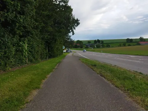
Beeren und mehr
Farm and orchard · 2.2 km
Self service
41 Bahnhofstraße, Brackenheim
24/7
Hofladen Bernd Lieberherr
Farm and orchard · 5.3 km
Demter Landwirt, Frischmilch, Milchautomat, [email protected]
7 Schützenpfadhöfe



Kellers Hofladen
Farm and orchard · 2.5 km
Mo-Th 11:00-13:00,16:00-19:00; Fr 11:00-19:00; Sa 08:00-13:00
21 more on the map.
Museums and landmarks135


Holzachterbahn "Mammut"
Monument and historic site · 4.5 km
Mo-Su 10:00-18:00
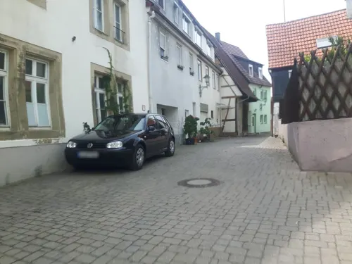

Badewannen-Fahrt "Zum Jungbrunnen"
Monument and historic site · 4.7 km
Mo-Su 11:30-18:00



Talheim Death Pit
Monument and historic site · 8.8 km
One of the oldest mass grave found, it dates back to about 5000 BC.
123 more on the map.
Parks, trails and playgrounds45







33 more on the map.
Restaurants and cafes169
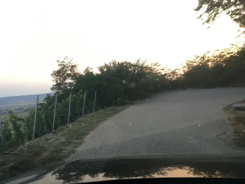
Waldschenke Hörnle
Restaurant · Regional · 2.5 km
1 Hörnle, Brackenheim
We-Sa 11:00-20:00; Su 10:00-20:00

Alte Apotheke
Restaurant · Regional · 4.5 km
22 Kirchstraße, Bönnigheim
We-Fr 11:30-14:00,18:00-24:00; Sa, Su 11:30-14:00,17:00-24:00; Mo, Tu off
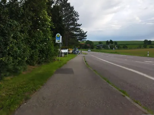
Annabelle Weinbar
Restaurant · Regional, German · 5.6 km
1 Rotenberg, Lauffen am Neckar
We-Th 17:00-23:00, Fr-Sa 12:00-23:00
Bürgerstube Lauffen
Restaurant · German · 5.4 km
89 Charlottenstraße, Lauffen am Neckar
Tu-Su 11:30-14:00,17:00-23:00; Sa 17:00-23:00
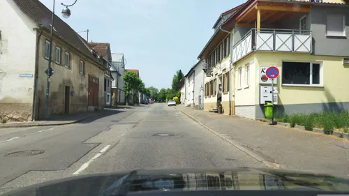
Café Primas
Cafe · Coffee Shop, Bistro, Breakfast, Cake, Pastry, Ice Cream, Tapas, Pizza · 5.1 km
1 Kleingartacher Straße, Güglingen
Mo-Tu 09:00-17:00, Th-Su 09:00-17:00
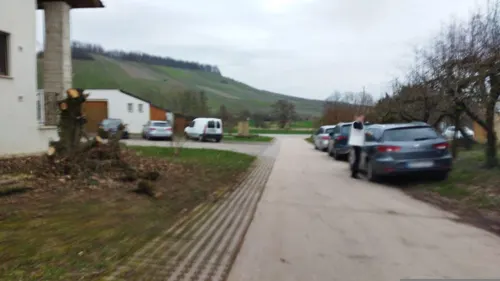
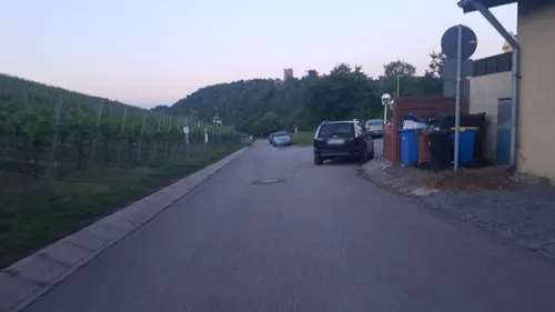
Schützenheim - Pizzeria il Padrino
Restaurant · Italian · 3.3 km
29 Heerstraße, Brackenheim
Tu-Sa 17:00-23:00; Su,PH 11:00-22:00
Shanghai
Restaurant · Chinese · 4.3 km
37 Karlstraße, Bönnigheim
Mo,Tu 11:30-14:30,17:30-23:00; Th-Su 11:30-14:30,17:30-23:00; We off
Weingärtner Stromberg Zabergäu eG
Brewery and winery · 0.9 km
60 Neipperger Straße, Brackenheim
Mo-Fr 09:00-18:00; Sa 09:00-13:00; Su off


157 more on the map.
History
The communal land of Brackenheim has been settled for 5,000-6,000 years. Botenheim and Meimsheim were mentioned in the 12th century; Brackenheim was mentioned in 1246. Brackenheim received its town rights by King Rudolf I. von Habsburg in 1280. After a big fire in 1691 burning down 112 houses, the town had to be rebuilt in many places.
Owing to the communal reform from 1971 to 1974, the previous independent communities now representing districts were incorporated. The active construction of building has filled in the spaces previously between the districts and led to a huge increase of the population in Brackenheim. During 1995-2004 the town increased by about 2,700 inhabitants.
From the History section of Brackenheim on Wikipedia, under CC BY-SA 4.0.
Where to stay16
Wohnmobilstellplatz Parkplatz Nordheim
Campground · 5.9 km
Lauffener Straße, Nordheim
Gästehaus Garni Familie Geiger
Motel and hotel · 3.8 km
11 Sankt-Ulrich-Straße, Brackenheim
Churches and places of worship31
Christus-König-Kirche
Church · Roman Catholic · 0.6 km
1 Sattelmayerstraße, Brackenheim
Dorfkirche Hohenstein
Church · Protestant · 5.8 km
143 Kirchheimer Straße, Bönnigheim
Johanniskirche
Church · Protestant · 0.7 km
41 Theodor-Heuss-Straße, Brackenheim
Neuapostolische Kirche Lauffen
Church · New Apostolic · 5.7 km
12 Blücherstraße, Lauffen am Neckar
Shopping26
Gas and EV charging6
Schools, colleges and libraries28
Erich Kästner Schule - Förderschule Lauffen am Neckar
School · 5.6 km
17 Herdegenstraße, Lauffen am Neckar
Kaywaldschule Lauffen am Neckar - Schule für Kinder und Jugendliche mit geistiger und körperlicher Behinderung
School · 5.2 km
91 Charlottenstraße, Lauffen am Neckar
Healthcare10
apotheke actuell
Clinic and pharmacy · 5.7 km
18 Schillerstraße, Lauffen am Neckar
Map of Brackenheim
250 places. The map loads OpenStreetMap tiles when you open it.
Getting there and nearby towns
Manfred Rommel Airport Stuttgart (STR) is the nearest airport with scheduled flights listed in OpenStreetMap, 45 km away.
- Lauffen am Neckar 6 km east, about 6 min by car
- Schwaigern 7 km north, about 7 min by car
- Heilbronn 13 km northeast, about 13 min by car
- Eppingen 13 km northwest, about 13 min by car
- Neckarsulm 17 km northeast, about 17 min by car
- Vaihingen an der Enz 18 km southwest, about 18 min by car
- Tamm 18 km south, about 18 min by car
- Weinsberg 18 km northeast, about 18 min by car
- Freiberg am Neckar 19 km southeast, about 19 min by car
- Markgröningen 19 km south, about 19 min by car
Drive times are estimates from straight-line distance, not routes.
Local news
Headlines from INDB.
Reviews, tips and questions
Loading what members have shared...
Sources and licences
- GeoNames (CC BY 4.0): population, coordinates, regions and time zone
- Mapillary (see each image): photos
- OpenStreetMap contributors (ODbL 1.0): places, airports, map data
- Wikidata (CC0 1.0): elevation, founding date, time zone, website, landmarks and historic places
- Wikimedia Commons (see each image): photos
- Wikipedia (CC BY-SA 4.0): overview and history text
Photo credits
- Brackenheim, Foto: Martin Naujocks, CC BY-SA 3.0
- Trippsdrill, Freak-Line-Community, CC BY-SA 4.0
- Mammut Tripsdrill 01, Immanuel Giel, Public domain
- Nordheim-bartholomaeuskirche, p.schmelzle, CC BY-SA 2.5
- Brackenheim Christus-Koenig-Kirche 20120920 1, User:Rosenzweig, CC BY-SA 3.0
- BoennigheimPfarrkirche, Mussklprozz, CC BY-SA 3.0
- Kurt-von-Marval-Schule Nordheim 20110503, Rad4, CC0
- Landappbw 424892 1820 Georgskirche Hausen an der Zaber, Martin Hahn, CC0
- Wildsau-Schenke Tripsdrill, 4028mdk09, CC BY-SA 3.0
- Konferenz- und Medienzentrum Hohenstein, Felix König, CC BY 3.0
- Neipperg-kirche2009, Peter Schmelzle, CC BY-SA 3.0
- Johanniskirche Brackenheim 20120920 2, User:Rosenzweig, CC BY-SA 3.0
- Theodor-Heuss-Museum-Brackenheim, Pfedelbacher, CC BY-SA 3.0
- Güglingen - Frauenzimmern - Martinskirche - Ansicht von SO im Winter, Roman Eisele, CC BY-SA 4.0
- Michaelsberg 20061118, K. Jähne, CC BY-SA 3.0
- Cleebronn-kirche2007, Peter Schmelzle, CC BY-SA 3.0
- Nijmegen-stauferstele, Geak, CC BY-SA 4.0
- Tripsdrill Badewannenfahrt, Stefan Scheer, CC BY-SA 3.0
- Landappbw 505177 1820 Kloster auf dem Frauenberg Bönnigheim, Ringring, CC0
- Alte Neckarschlinge Lauffen am Neckar 20071012, Fabrice Koch from Deutschland, CC BY 2.0
- Die Zaberauen, Johannes Domin, CC BY-SA 4.0
- Kirche Hohenstein 2010, Felix König, CC BY 3.0
- Gueglingen Erloeserkirche 20121011, User:Rosenzweig, CC BY-SA 3.0
- Lauffen Neuapostolische Kirche 20090110, K. Jähne, CC BY-SA 3.0
- Güglingen-Stauferstele, Geak, CC BY-SA 4.0
- MammutEingang, User:StromBer, Public domain
- 20090215 Lauffen Hölderlin-Gymnasium hinten, K. Jähne, CC BY-SA 3.0
- Johanniskirche Brackenheim 20120920 1, User:Rosenzweig, CC BY-SA 3.0
- Christus-König Brackenheim, Katharina Gebauer, CC BY-SA 4.0
- Wildpferde Tripsdrill, Robin Müller, CC BY-SA 2.0 de
- Street-level photo, changchun1, CC BY-SA 4.0
- Street-level photo, soulcover, CC BY-SA 4.0
- Street-level photo, changchun1, CC BY-SA 4.0
- Street-level photo, changchun1, CC BY-SA 4.0
- Street-level photo, changchun1, CC BY-SA 4.0
- Street-level photo, changchun1, CC BY-SA 4.0
- Street-level photo, soulcover, CC BY-SA 4.0
- Street-level photo, changchun1, CC BY-SA 4.0
- Street-level photo, changchun1, CC BY-SA 4.0
- Street-level photo, nakaner, CC BY-SA 4.0
- Street-level photo, changchun1, CC BY-SA 4.0
- Street-level photo, changchun1, CC BY-SA 4.0
- Street-level photo, teddy73, CC BY-SA 4.0
- Street-level photo, teddy73, CC BY-SA 4.0
- Street-level photo, changchun1, CC BY-SA 4.0
- Street-level photo, changchun1, CC BY-SA 4.0
- Street-level photo, soulcover, CC BY-SA 4.0
- Street-level photo, changchun1, CC BY-SA 4.0
- Street-level photo, changchun1, CC BY-SA 4.0
- Street-level photo, changchun1, CC BY-SA 4.0
- Street-level photo, changchun1, CC BY-SA 4.0
- Street-level photo, teddy73, CC BY-SA 4.0
- Street-level photo, teddy73, CC BY-SA 4.0
- Street-level photo, teddy73, CC BY-SA 4.0
- Street-level photo, changchun1, CC BY-SA 4.0
- Street-level photo, changchun1, CC BY-SA 4.0


Page built November 8, 2026. Spotted a mistake? Tell us or suggest a place.