


Markgröningen, Germany
Markgröningen is a town of 14,414 people in Baden-Wurttemberg, Germany.
Why visit Markgröningen
Townapedia lists 116 museums and landmarks, 61 parks and trails, 147 places to eat, 12 places to stay and 21 attractions in and around town.
Highlights include Mühlenladen, Bietigheim Enz Valley Viaduct, Römerkeller Oberriexingen and Wimpelinhof.
Weather in Markgröningen
Forecast from MET Norway (CC BY 4.0). Full forecast
About Markgröningen
Markgröningen (German pronunciation: [maʁkˈɡʁøːnɪŋən] ) is a town in the district (Kreis) of Ludwigsburg, Baden-Württemberg, Germany. It is known for its fine historic buildings, many in the Fachwerk German architectural style, and its annual Shepherds' Run. Markgröningen is on the Deutsche Fachwerkstraße (German Timber-Frame Road).
From the Wikipedia article Markgröningen (this version), under CC BY-SA 4.0.
Things to do21

Mühlenladen
Farm and orchard · 4.1 km
12 Nippenburger Straße, Schwieberdingen
Mo-Fr 08:00-12:00,13:30-18:00; We 08:00-12:00; Sa 08:00-13:00

Bietigheim Enz Valley Viaduct
Bridge · 6.7 km
Railway bridge in Germany
Hofladen Glaser
Farm and orchard · 1.2 km
1 Schafwiesen, Markgröningen
Mo-Fr 09:00-12:00; Tu,We 09:00-12:00,17:00-18:30; Sa 09:00-18:30
Kachler's Weinbau & Bauernhof - Selbstbedienungs-Ständle
Farm and orchard · 4.0 km
6 Talstraße, Markgröningen
24/7
Eigene Kartoffeln - Selbstbedienung
Farm and orchard · 4.2 km
72 Hauptraße, Markgröningen
24/7

Hofladen Gutscher
Farm and orchard · 3.4 km
59 Stuttgarter Straße, Schwieberdingen
Th-Fr 08:30-12:30,14:00-18:00; Sa 08:30-11:30

9 more on the map.
Museums and landmarks116


Wimpelinhof
Museum
2 Wimpelingasse, Markgröningen
Apr-Oct: Su 13:00-17:00; Aug Su[4] off

Altes Pfarrhaus
Monument and historic site · 4.0 km
Denkmalgeschütztes Pfarrhaus in dem einst August Ludwig Reyscher geboren wurde.
34 Glemsstraße, Markgröningen


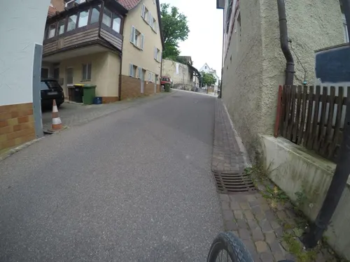
Ortsmuseum "Im Alten Pfarrhaus"
Museum · 3.0 km
5 Eugen-Herrmann-Straße, Schwieberdingen
Su[1],Su[3] 14:30-17:00


104 more on the map.
Parks, trails and playgrounds61



Benzberg
Playground
Apr-Nov: Mo-Sa 08:00-20:00, Su,PH 10:00-20:00; Nov-Apr: Mo-Sa...
Eichrain
Playground · 3.7 km
Apr 1-Oct 31 Mo-Sa 08:00-20:00; Apr 1-Oct 31 Su 10:00-20:00; Apr...
Graf-Hartmann-Straße
Playground
Apr-Nov: Mo-Sa 08:00-20:00, Su,PH 10:00-20:00; Nov-Apr: Mo-Sa...

Pappelweg
Playground · 0.8 km
Apr-Nov: Mo-Sa 08:00-20:00, Su,PH 10:00-20:00; Nov-Apr: Mo-Sa...
49 more on the map.
Restaurants and cafes147

Flohberghaus
Restaurant · Spanish · 1.1 km
7 Am Rotenacker Wald, Markgröningen
Tu-Fr 17:00-00:00; Sa 12:00-00:00; Su 10:00-22:00
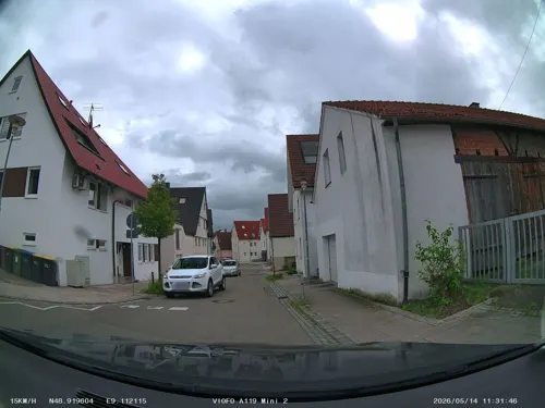
Schnitzelfabrik
Restaurant · German · 2.9 km
5 Bietigheimer Straße, Tamm
Mo-Tu 11:00-23:00; Th-Su 11:00-23:00; We off
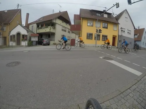
Besen am Backhäusle
Restaurant · 4.1 km
Besen m kleinem Innenraum, großer Scheuer
1 Enge Gasse, Markgröningen
Mo,We-Fr 09:00-12:30,15:00-18:00; Sa 08:00-13:00
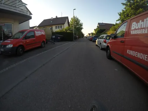
Da Alfonso
Restaurant · Italian · 3.2 km
50 Friedrichstraße, Tamm
Mo-Fr 11:00-14:00,17:00-23:00; Sa 17:00-23:00; Su...
Da Enzo
Restaurant · Italian, Pizza, Pasta, Ice Cream · 4.5 km
6 Hauptstraße
Mo off; Tu-Fr 11:30-14:00,17:30-22:00; Sa 17:30-22:00; Su...
Gasthof zur Linde
Restaurant · Regional · 4.5 km
49 Hauptstraße, Oberriexingen
Mo,We-Fr 11:30-14:00; Tu off; Su 11:30-14:00,17:30-21:00
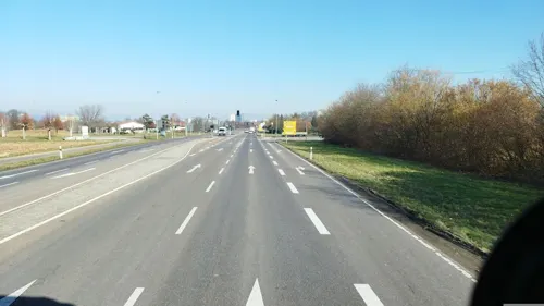
Gaststätte Schützenhaus
Restaurant · Regional · 4.2 km
81 Bietigheimer Straße, Tamm
Mo-Fr 11:30-23:00; Sa 11:30-22:00; Su 10:00-22:00; PH 10:00-22:00
Il Capriccio
Restaurant · Italian · 4.9 km
17 Im Osterholz, Asperg
Mo,We,Th,Fr,Su 11:00-14:00,17:00-23:00; Sa 17:30-23:00
In Due Restaurant Pizzeria
Restaurant · Italian · 2.6 km
33 Markgröninger Straße, Schwieberdingen
Tu-Fr 11:30-14:00, 17:30-22:00; Sa 17:30-22:00; Su,PH 11:30-22:00
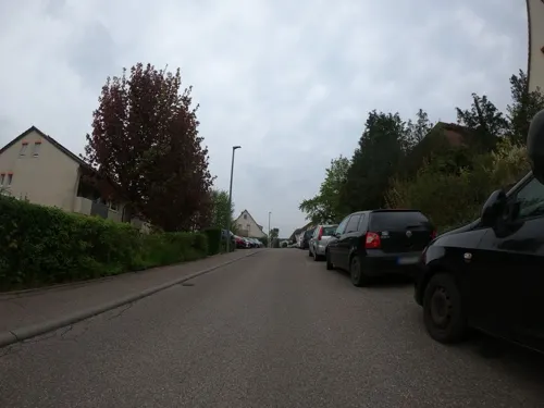
Jahnstube-Bissingen
Restaurant · German · 4.6 km
91 Jahnstraße, Bietigheim-Bissingen
Mo,We-Fr 16:00-24:00; Sa 10:00-24:00, Su 10:00-22:00
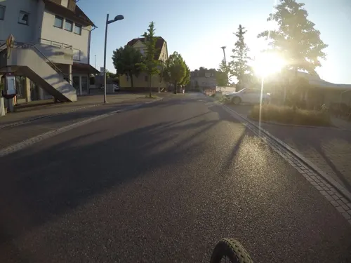


Katz
Bakery · Breakfast, Cake · 3.6 km
102 Hauptstraße, Tamm
Mo-Fr 06:00-18:00; Sa 06:00-13:00; Su 08:00-17:00

Naturfreundehaus Asperg Biergarten
Bar and pub · 4.9 km
Schöner Biergarten mit schwäbischer Speisekarte und großen Schirmen
18 Im Osterholz
Mo-Su 11:30-22:00
135 more on the map.
History
Markgröningen (or simply “Gröningen,” as some older residents may call it) is first mentioned in 779 in a deed of gift to the Monastery of Fulda, as Gruoninga. Mark was added to the name later to indicate its position in the "march" or border area between Frankish and Alemannic territory.
Around 1243 the settlement of Markgröningen was raised to the status of town. It was a fief of the Holy Roman Emperor, responsible for guarding two important travel routes. In 1229, the town briefly became a free imperial city. As a result, it has the Imperial eagle on its arms; the blue bar with gold stars was added in the mid-16th century as a distinguishing mark. However, in 1336, the House of Württemberg acquired the town and made it a seat of government. Later, during the temporary division of Württemberg between 1441 and 1482, it was a primary seat.
Of considerable importance to Markgröningen, the Spital (pilgrims' hostelry), a foundation of the Order of the Holy Spirit, was consecrated in 1297. The order began construction of the present Church of the Holy Spirit around 1300. By 1354, the town had a Latin school, by 1429 a bathhouse. These three were hallmarks of superiority in a medieval town.
From the History section of Markgröningen on Wikipedia, under CC BY-SA 4.0.
Where to stay12
Pension Flech
Motel and hotel · 2.8 km
23 Peter-von-Koblenz-Straße, Schwieberdingen
Churches and places of worship31
Heilig-Geist-Kirche
Church · Roman Catholic
1/3 Spital, Markgröningen
Evangelische Pfarrkirche
Church · Lutheran · 4.0 km
32 Glemsstraße, Markgröningen
Johanneskirche - Evangelisches Gemeindezentrum Nord
Church · Protestant · 4.3 km
11 Strombergstraße, Möglingen
Katholische Kirche
Church · Catholic · 3.1 km
18-22 Alte Vaihinger Straße, Schwieberdingen
Shopping27
Gas and EV charging8
Schools, colleges and libraries30
Healthcare11
Map of Markgröningen
250 places. The map loads OpenStreetMap tiles when you open it.
Getting there and nearby towns
Manfred Rommel Airport Stuttgart (STR) is the nearest airport with scheduled flights listed in OpenStreetMap, 26 km away.
- Tamm 3 km northeast, about 3 min by car
- Schwieberdingen 3 km south, about 3 min by car
- Möglingen 4 km southeast, about 4 min by car
- Vaihingen an der Enz 9 km west, about 9 min by car
- Rutesheim 15 km southwest, about 15 min by car
- Stuttgart 15 km southeast, about 15 min by car
- Steinheim an der Murr 16 km northeast, about 16 min by car
- Mühlacker 18 km west, about 18 min by car
- Renningen 18 km southwest, about 18 min by car
- Waiblingen 19 km southeast, about 19 min by car
Drive times are estimates from straight-line distance, not routes.
Local news
Headlines from INDB.
Reviews, tips and questions
Loading what members have shared...
Sources and licences
- GeoNames (CC BY 4.0): population, coordinates, regions and time zone
- Mapillary (see each image): photos
- OpenStreetMap contributors (ODbL 1.0): places, airports, map data
- Wikidata (CC0 1.0): elevation, founding date, time zone, website, landmarks and historic places
- Wikimedia Commons (see each image): photos
- Wikipedia (CC BY-SA 4.0): overview and history text
Photo credits
- Markgröningen Evang. Bartholomäuskirche, Bear62, CC BY 3.0
- Markgröningen 2023 -Altstadt- by-RaBoe 057, Raboe001, CC BY-SA 3.0
- Markgröningen 2023 -Altstadt- by-RaBoe 059, Raboe001, CC BY-SA 3.0
- Markgröningen 2023 -Altstadt- by-RaBoe 058, Raboe001, CC BY-SA 3.0
- Markgröningen 2023 -Altstadt- by-RaBoe 002, Raboe001, CC BY-SA 3.0
- Markgröningen 2023 -Altstadt- by-RaBoe 004, Raboe001, CC BY-SA 3.0
- Markgröningen 2023 -Altstadt- by-RaBoe 065, Raboe001, CC BY-SA 3.0
- Markgröningen 2023 -Altstadt- by-RaBoe 062, Raboe001, CC BY-SA 3.0
- Markgröningen 2023 -Altstadt- by-RaBoe 061, Raboe001, CC BY-SA 3.0
- Markgröningen 2023 -Altstadt- by-RaBoe 064, Raboe001, CC BY-SA 3.0
- Markgröningen 2023 -Altstadt- by-RaBoe 060, Raboe001, CC BY-SA 3.0
- Markgröningen 2023 -Altstadt- by-RaBoe 063, Raboe001, CC BY-SA 3.0
- Markgröningen 2023 -Altstadt- by-RaBoe 068, Raboe001, CC BY-SA 3.0
- Markgröningen 2023 -Altstadt- by-RaBoe 067, Raboe001, CC BY-SA 3.0
- Markgröningen 2023 -Altstadt- by-RaBoe 066, Raboe001, CC BY-SA 3.0
- Markgröningen 2023 -Altstadt- by-RaBoe 069, Raboe001, CC BY-SA 3.0
- Marktplatz 8 Markgröningen 1405W, P. Fendrich, CC BY 3.0
- Markgröningen Rathaus 2012, RudolfSimon, CC BY 3.0
- Markgröningen Fachwerkhäuser am Marktplatz 01, MSeses, CC BY-SA 3.0
- Markgröningen Fachwerkhäuser am Marktplatz 02, MSeses, CC BY-SA 3.0
- Markgröningen Fachwerkhäuser am Marktplatz 03, MSeses, CC BY-SA 3.0
- Markgröningen - Altstadt - Marktplatz - Marktplatz 4, 5, 6, Ostergasse 1 (1), Roman Eisele, CC BY-SA 4.0
- Markgröningen Blick zur Bartholomäuskirche, Harke, CC BY-SA 3.0
- Marktplatz 10 Markgröningen 1405W, P. Fendrich, CC BY 3.0
- Markgröningen 2023 -Altstadt- by-RaBoe 003, Raboe001, CC BY-SA 3.0
- Markgröningen Marktplatz mit Rathaus, Harke, CC BY-SA 3.0
- Markgröningen Rathaus 2015, Harke, CC BY-SA 3.0
- Markgröningen - Altstadt - Bartholomäuskirche - Türme - Ansicht von NW (1), Roman Eisele, CC BY-SA 4.0
- Markgröningen - Altstadt - Marktplatz - Marktbrunnen und Marktplatz 3, 4, 5 (1), Roman Eisele, CC BY-SA 4.0
- Markgröningen - Altstadt - Marktplatz - Marktbrunnen - Figur (1), Roman Eisele, CC BY-SA 4.0
- Markgröningen - Altstadt - Marktplatz - Rathaus - Ansicht von Osten (1), Roman Eisele, CC BY-SA 4.0
- Marktbrunnen Markgröningen, Harke, CC BY-SA 3.0
- Brunnenfigur Markgröningen, Harke, CC BY-SA 3.0
- Markgröningen Gasthaus Krone, Harke, CC BY-SA 3.0
- Aerial image of the Bietigheim Viaduct (view from the southeast), Carsten Steger, CC BY-SA 4.0
- Keltengrabhuegel Hochdorf, Detlef Meissner, CC BY 2.5
- Bartholomäuskirche Markgröningen vNO 1034W, P. Fendrich, CC BY 3.0
- Aerial image of the Hohenasperg fortress, Carsten Steger, CC BY-SA 4.0
- Naturschutzwengert im NSG Leudelsbachtal, P. Fendrich, CC BY 3.0
- 2016-03-28-Markgröningen 30, Yeerge, CC BY 4.0
- Schwieberdingen Georgskirche, Harke, CC BY-SA 3.0
- Golfplatz Schloss Nippenburg, Soccerates, Public domain
- Bartholomäus kirche tamm, Derhuebiii, CC BY-SA 3.0
- Georgskirche Oberriexingen, Dg-505, CC BY 3.0
- Spital Turm+Chor 0104 Web, P. Fendrich, CC BY 3.0
- Asperg-Michaelskirche2012, Peter Schmelzle, CC BY-SA 3.0
- Sankt Maria Moglingen10062018 1, Zonk43, CC BY-SA 3.0
- Schwieberdingen Kirche St Peter und Paul, Harke, CC BY-SA 3.0
- Katholische Kirche Unterriexingen, Pilettes, CC BY-SA 3.0
- Altes Pfarrhaus Unterriexingen (Geburtshaus August Ludwig Reyschers), Pilettes, CC BY-SA 3.0
- MarkgroeningenStadttor, Mussklprozz ( talk ), CC BY-SA 3.0
- Markgröningen Fruchtkasten+Zehntscheuer PF, P. Fendrich, CC BY 3.0
- Markgroeningen-stauferstele-2x, Geak ( Diskussion ), Public domain
- Evangelische Pfarrkirche Unterriexingen, Pilettes, CC BY-SA 3.0
- Frauenkirche Unterriexingen (Suedost-Ansicht), Pilettes, CC BY-SA 3.0
- Karte Neckar-Enz-Stellung, K. Jähne, Public domain
- Markgröningen - Altstadt - Wimpelingasse 2 (Wimpelinhof) - Ansicht von ONO (1), Roman Eisele, CC BY-SA 4.0
- Street-level photo, soulcover, CC BY-SA 4.0
- Street-level photo, plexi32, CC BY-SA 4.0
- Street-level photo, mfa, CC BY-SA 4.0
- Street-level photo, plexi32, CC BY-SA 4.0
- Street-level photo, plexi32, CC BY-SA 4.0
- Street-level photo, mfa, CC BY-SA 4.0
- Street-level photo, mfa, CC BY-SA 4.0
- Street-level photo, mfa, CC BY-SA 4.0
- Street-level photo, slabby, CC BY-SA 4.0
- Street-level photo, mfa, CC BY-SA 4.0
- Street-level photo, bct, CC BY-SA 4.0
- Street-level photo, changchun1, CC BY-SA 4.0
- Street-level photo, electria, CC BY-SA 4.0
- Street-level photo, slabby, CC BY-SA 4.0
- Street-level photo, pheet, CC BY-SA 4.0
- Street-level photo, mfa, CC BY-SA 4.0
- Street-level photo, pheet, CC BY-SA 4.0
- Street-level photo, mfa, CC BY-SA 4.0
- Street-level photo, changchun1, CC BY-SA 4.0
- Street-level photo, changchun1, CC BY-SA 4.0
- Street-level photo, teddy73, CC BY-SA 4.0
- Street-level photo, mfa, CC BY-SA 4.0


Page built November 8, 2026. Spotted a mistake? Tell us or suggest a place.