


Breisach am Rhein, Germany
Breisach am Rhein is a town of 14,367 people in Baden-Wurttemberg, Germany.
Why visit Breisach am Rhein
Townapedia lists 21 museums and landmarks, 21 parks and trails, 73 places to eat, 25 places to stay and 15 attractions in and around town.
Highlights include Engel-Lichtspiele, Obsthof Neumühle SB-Hofladen, Castra Argentovaria and Höhingen Castle.
Weather in Breisach am Rhein
Forecast from MET Norway (CC BY 4.0). Full forecast
About Breisach am Rhein
Breisach am Rhein (German pronunciation: [ˈbʁaɪzax ʔam ˈʁaɪn], lit. 'Breisach on the Rhine'; formerly Alt-Breisach, lit. 'Old Breisach', in contrast to "New Breisach"; Low Alemannic: Alt-Brisach), commonly known as Breisach, is a town with approximately 16,500 inhabitants, situated along the Rhine in the Rhine Valley, in the district Breisgau-Hochschwarzwald, Baden-Württemberg, Germany, about halfway between Freiburg and Colmar, 20 kilometres away from each, and about 60 kilometres north of Basel near the Kaiserstuhl. A bridge leads over the Rhine to Neuf-Brisach, Alsace.
From the Wikipedia article Breisach (this version), under CC BY-SA 4.0.
Things to do15
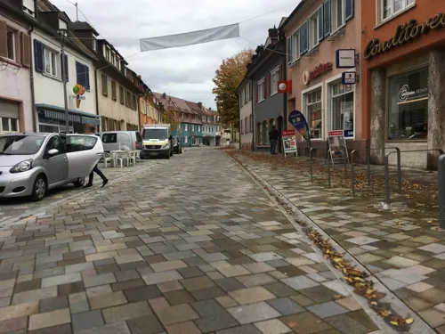



Griesmattenhof SB-Hofladen
Farm and orchard · 1.9 km
Gemüse, Salat, Kartoffeln, Kräuter, Eier, Sauerkraut, Honig, Blumen
Mo-Fr 07:30-19:30; Sa 07:30-18:00; Su 09:00-18:00

3 more on the map.
Museums and landmarks21


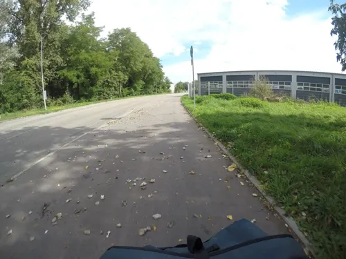


Ehem. Spitalkirche St. Martin
Monument and historic site · 0.6 km
1 Marienau, Breisach am Rhein



Museum für Stadtgeschichte
Museum · 0.6 km
Tu-Fr 14:00-17:00; Sa 11:30-17:00; Su 11:30-18:00
9 more on the map.
Parks, trails and playgrounds21



Kaiserstuhlbad
Sports field and stadium · 5.6 km
1 Merdinger Straße
May-Oct: 09:30-20:00 "im Sommer"



Aviron Club Region Colmar
Marina and boat launch · 4.6 km
2 Chemin du Geiskopf, Geiswasser

9 more on the map.
Restaurants and cafes73

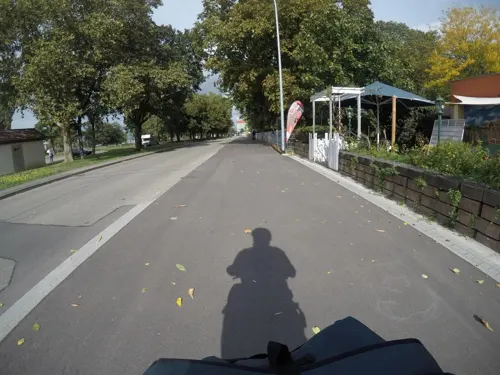
Freizeitanlage Minigolf & Parkgastronomie Breisach
Restaurant · Regional, Mediterranean · 0.6 km
8 Josef-Bueb-Straße, Breisach am Rhein
Mo-Su 09:00-22:00
Kläsles Restaurant am Rhein
Restaurant · Regional, French, German · 1.4 km
11 Hafenstraße, Breisach am Rhein
We-Su 11:00-23:00
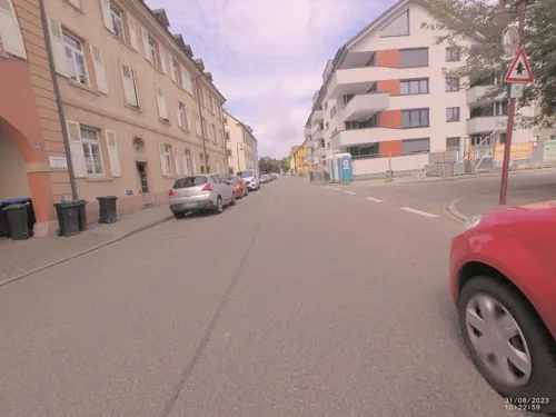
Taste of India
Restaurant · Indian
40 Kupfertorstraße, Breisach am Rhein
Tu-Su 11:00-14:30,17:00-22:00

Badischer Winzerkeller eG
Brewery and winery · 1.3 km
16 Zum Kaiserstuhl, Breisach
Nov-Mar Mo-Fr 09:00-18:00; Sa 09:00-14:00; Su off, Apr-Oct Mo-Fr...

Bäckerei Heitzmann
Bakery · 0.8 km
4 Bahnhofstraße, Breisach am Rhein
Mo-Fr 06:00-19:00; Sa-Su,PH 07:00-17:30

Café Galerie Etoile
Cafe
15 Münsterbergstraße, Breisach am Rhein
Mo,We,Th,Fr 14:00-22:00; Sa,Su 10:00-22:00; Tu off
Goldener Engel
Restaurant · 4.9 km
27 Bachenstraße, Ihringen
Mo,Fr-Su 11:30-14:00,17:00-23:00; Tu-Th off
Heidi's Küfer
Restaurant · 4.9 km
9 Eisenbahnstraße, Ihringen
Mo,Th,Fr 15:00-23:00; Tu 17:00-23:00; Sa 12:00-23:00; Su...


Osteria Quovadis Bistro
Restaurant · Ice Cream, Italian, Pasta, Salad · 0.6 km
Tu-Sa 11:30-14:00,17:30-22:00; Su,Mo off
61 more on the map.
History
The seat of a Celtic prince was at the hill on which Breisach is built. The Romans maintained an auxiliary castle on Mons Brisiacus (which came from the Celtic word Brisger, which means waterbreak).
The Staufer dynasty founded Breisach as a city in the modern sense, but there had already been a settlement with a church at the time. An 11th-century coin from Breisach was found in the Sandur hoard.
In the early 13th century, construction on the St. Stephansmünster, Breisach's cathedral, started. In the early 16th century, Breisach was a significant stronghold of the Holy Roman Empire. On December 7, 1638, Bernard of Saxe-Weimar, who was subsidized by France, conquered the city, which Ferdinand II and General Hans Heinrich IX. von Reinach had defended well, and tried to make it the centre of a new territory. After Bernard's death in 1639, his general gave the territory to France, which saw it as its own conquest. In the Peace of Westphalia in 1648, Breisach was de jure given to France.
From the History section of Breisach on Wikipedia, under CC BY-SA 4.0.
Where to stay25
Churches and places of worship12
St. Michael
Church · Roman Catholic · 4.6 km
13 Ihringer Straße, Breisach am Rhein
Evangelische Gemeinschaft
Church · Protestant · 5.3 km
49 Scherkhofenstraße, Ihringen
Wallfahrtskirche St.Pantaleon
Church · Roman Catholic · 6.3 km
7 Kirchweg, Vogtsburg im Kaiserstuhl
Shopping15
Gas and EV charging4
Schools, colleges and libraries9
Gewerbeschule Breisach, Land- und Baumaschinentechnik
School
10 Grüngärtenweg, Breisach am Rhein
Healthcare6
Physio Mattmüller und Kunzelmann
Clinic and pharmacy · 4.9 km
48 Bachenstraße, Ihringen
Map of Breisach am Rhein
201 places. The map loads OpenStreetMap tiles when you open it.
Getting there and nearby towns
Lahr Airport (LHA) is the nearest airport with scheduled flights listed in OpenStreetMap, 41 km away.
- Teningen 20 km northeast, about 20 min by car
- Gundelfingen 21 km east, about 21 min by car
- Emmendingen 22 km northeast, about 22 min by car
- Denzlingen 23 km east, about 23 min by car
- Neuenburg am Rhein 24 km south, about 24 min by car
- Waldkirch 29 km east, about 29 min by car
- Ettenheim 30 km northeast, about 30 min by car
- Steinen 45 km south, about 45 min by car
- Lörrach 47 km south, about 47 min by car
- Schopfheim 46 km southeast, about 46 min by car
Drive times are estimates from straight-line distance, not routes.
Local news
Headlines from INDB.
Reviews, tips and questions
Loading what members have shared...
Sources and licences
- GeoNames (CC BY 4.0): population, coordinates, regions and time zone
- Mapillary (see each image): photos
- OpenStreetMap contributors (ODbL 1.0): places, airports, map data
- Wikidata (CC0 1.0): elevation, founding date, time zone, website, landmarks and historic places
- Wikimedia Commons (see each image): photos
- Wikipedia (CC BY-SA 4.0): overview and history text
Photo credits
- BreisachAmRheinFromEckartsberg2, LigaDue, CC BY-SA 4.0
- Breisach am Rhein April 2010 1020179, Flominator ( talk ), CC BY-SA 3.0
- Breisach am Rhein April 2010 1020192, Flominator ( talk ), CC BY-SA 3.0
- Breisach am Rhein April 2010 1020190, Flominator ( talk ), CC BY-SA 3.0
- Breisach am Rhein April 2010 1020189, Flominator ( talk ), CC BY-SA 3.0
- Breisach am Rhein April 2010 1020196, Flominator ( talk ), CC BY-SA 3.0
- Breisach am Rhein April 2010 1020197, Flominator ( talk ), CC BY-SA 3.0
- Breisach am Rhein April 2010 1020193, Flominator ( talk ), CC BY-SA 3.0
- Breisach am Rhein April 2010 1020183, Flominator ( talk ), CC BY-SA 3.0
- Breisach am Rhein April 2010 1020186, Flominator ( talk ), CC BY-SA 3.0
- Breisach am Rhein April 2010 1020187, Flominator ( talk ), CC BY-SA 3.0
- Breisach am Rhein - geo.hlipp.de - 1372, Colin Smith on geo.hlipp.de, CC BY-SA 2.0
- Breisach am Rhein April 2010 1020151, Flominator ( talk ), CC BY-SA 3.0
- Breisach am Rhein April 2010 1020153, Flominator ( talk ), CC BY-SA 3.0
- Oedenburg-altkirch kastell, Veleius, CC BY-SA 3.0
- BreisachAmRheinMuensterStStephan9, LigaDue, CC BY-SA 4.0
- Breisach burg merian, Matthäus Merian, Public domain
- Ihringen Jüdischer Friedhof 2, James Steakley, CC BY-SA 3.0
- Martin-Schongauer-Gymnasium (Breisach) 2180, user:joergens.mi, CC BY-SA 3.0
- Naturschutzgebiet Ebnet 01 Kaiserstuhl (Baden), Comanderkeen, CC BY-SA 3.0
- St. Michael (Niederrotweil) 4553, user:joergens.mi, CC BY-SA 3.0
- Kirche (Ihringen) 0932 jiw, user:joergens.mi, CC BY-SA 3.0
- Eckartsberg (Breisach am Rhein) jm56906, joergens.mi, CC BY-SA 3.0
- VogtsburgImKaiserstuhlAchkarrenNaturschutzgebietBuechsenberg2, LigaDue, CC BY-SA 4.0
- BickensohlVogtsburgImKaiserstuhlBitzenbergNSG1, LigaDue, CC BY-SA 4.0
- Steinbruch Niederrotweil II, Lookingsharp, CC BY-SA 4.0
- BreisachAmRheinStMartinSpitalkirche8, LigaDue, CC BY-SA 4.0
- 79235 Achkarren Kirche 202208, Uwe Barghaan, CC BY-SA 3.0
- BreisachAmRheinGuendlingenStMichael1, LigaDue, CC BY-SA 4.0
- Eckartsberg Breisach, Brücke-Osteuropa, CC0
- BreisachAmRheinNaturschutzgebietZwoelferholzHaid3, LigaDue, CC BY-SA 4.0
- Das Blaue Haus (Breisach) 2220, user:joergens.mi, CC BY-SA 3.0
- Rotkäppchen Präsent - panoramio, Baden de, CC BY 3.0
- Geldermann, Andreas Schwarzkopf, CC BY-SA 3.0
- Grab Pantaleon Rosmann, Breisach 01 10, Хрюша, CC BY-SA 3.0
- Grab Familie Grieshaber, Breisach 01 10, Хрюша, CC BY-SA 3.0
- Relief Kapuzinergasse (Breisach) jm28078, joergens.mi, CC BY-SA 3.0
- Säule (Breisach) jm7962, joergens.mi, CC BY-SA 3.0
- Säule (Breisach) jm7980, joergens.mi, CC BY-SA 3.0
- Säule (Breisach) jm7977, joergens.mi, CC BY-SA 3.0
- Street-level photo, changchun1, CC BY-SA 4.0
- Street-level photo, VIA_DT, CC BY-SA 4.0
- Street-level photo, changchun1, CC BY-SA 4.0
- Street-level photo, changchun1, CC BY-SA 4.0
- Street-level photo, mfa, CC BY-SA 4.0
- Street-level photo, derlipper, CC BY-SA 4.0
- Street-level photo, changchun1, CC BY-SA 4.0
- Street-level photo, changchun1, CC BY-SA 4.0
- Street-level photo, changchun1, CC BY-SA 4.0
- Street-level photo, changchun1, CC BY-SA 4.0
- Street-level photo, VIA_DT, CC BY-SA 4.0
- Street-level photo, angelika_flasse, CC BY-SA 4.0
- Street-level photo, VIA_DT, CC BY-SA 4.0
- Street-level photo, tasmaniadevil, CC BY-SA 4.0
- Street-level photo, tasmaniadevil, CC BY-SA 4.0
- Street-level photo, dl7auq, CC BY-SA 4.0
- Street-level photo, mfa, CC BY-SA 4.0
- Street-level photo, changchun1, CC BY-SA 4.0
- Street-level photo, changchun1, CC BY-SA 4.0
- Street-level photo, changchun1, CC BY-SA 4.0
- Street-level photo, xdTAGCLAN, CC BY-SA 4.0
- Street-level photo, mfa, CC BY-SA 4.0
- Street-level photo, edhermann48, CC BY-SA 4.0
- Street-level photo, tasmaniadevil, CC BY-SA 4.0
- Street-level photo, VIA_DT, CC BY-SA 4.0


Page built November 8, 2026. Spotted a mistake? Tell us or suggest a place.