


Neuenburg am Rhein, Germany
Neuenburg am Rhein is a town of 11,682 people in Baden-Wurttemberg, Germany, founded in 1219.
Why visit Neuenburg am Rhein
Townapedia lists 11 museums and landmarks, 9 parks and trails, 82 places to eat, 16 places to stay and 10 attractions in and around town.
Highlights include Central-Theater, Demeter Gärtnerei Piluweri, Markgräfler Museum Müllheim and Stadtmuseum Neuenburg am Rhein.
Weather in Neuenburg am Rhein
Forecast from MET Norway (CC BY 4.0). Full forecast
About Neuenburg am Rhein
Neuenburg am Rhein (German pronunciation: [ˈnɔʏənˌbʊʁk ʔam ˈʁaɪn], lit. 'Neuenburg on the Rhine'; High Alemannic: Neiburg am Rhi) is a town in the district Breisgau-Hochschwarzwald in Baden-Württemberg in southern Germany.
From the Wikipedia article Neuenburg am Rhein (this version), under CC BY-SA 4.0.
Things to do10

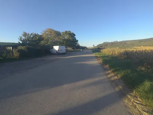
Demeter Gärtnerei Piluweri
Farm and orchard · 5.0 km
1 Am Stockacker, Müllheim im Markgräflerland
Tu,Fr 16:00-18:30; Sa 09:00-13:00

Längin's Hofladen
Farm and orchard · 4.1 km
Mo-Fr 08:00-12:00; Mo,Tu,Th,Fr 15:00-18:00; Sa 08:00-13:00



Museums and landmarks11

Markgräfler Museum Müllheim
Museum · 5.2 km
7 Wilhelmstraße, Müllheim im Markgräflerland
Mo-Tu off; We-Sa 14:00-18:00; Su 11:00-18:00
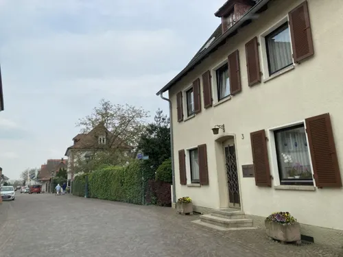

Ehemalige „Likörfabrik Cusenier“ erbaut 1925
Monument and historic site · 0.6 km
32 Müllheimer Straße, Neuenburg am Rhein
Wasserturm Neuenburg am Rhein
Monument and historic site
9 Basler Straße, Neuenburg am Rhein
Parks, trails and playgrounds9





Restaurants and cafes82
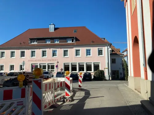
Alte Münz
Restaurant · German · 5.3 km
2 Gerbergasse, Müllheim im Markgräflerland
Tu,We off, Fr,Sa 17:00-01:00, Su 17:00-23:00, Mo,Th 17:00-24:00

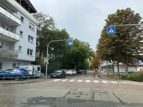
Campus
Cafe · Regional · 5.0 km
10 Goethestraße, Müllheim im Markgräflerland
Mo-Fr 08:00-18:00; Sa 09:00-19:00
Osteria Restaurant Eiscafe Incontro
Restaurant · Ice Cream
1 Rathausplatz, Neuenburg am Rhein
We-Mo 12:00-21:00; Tu 14:00-21:00
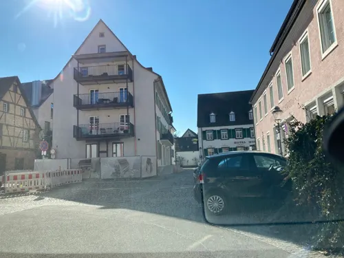

Vis à Wii
Brewery and winery · Ice Cream · 5.1 km
38 Werderstraße, Müllheim im Markgräflerland
Tu-Th 10:00-13:00, Tu,Th 15:00-18:30, Fr 10:00-21:00, Sa 10:00-14:00
Zur Turnhalle
Restaurant · Italian · 4.6 km
4 Werderstraße, Müllheim im Markgräflerland
We-Su 11:00-14:30,17:00-24:00
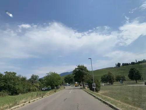
Bombastic (Billiardpark)
Restaurant · 3.5 km
3 Eisenbahnstraße, Müllheim im Markgräflerland
Mo-Th 11:00-23:00, Fr,Sa 11:00-01:00, Su 11:00-22:00

Bäckerei Kotz
Bakery · 4.1 km
5 Kanalgasse, Müllheim im Markgräflerland
We-Fr 06:00-14:00; Sa 06:30-12:30; Su 08:00-12:30; Mo,Tu off
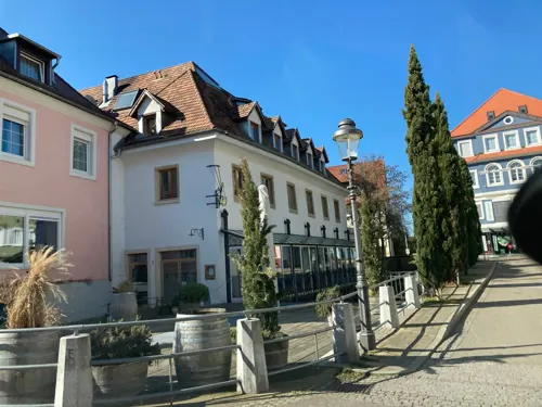
Bäckerei/ Cafe Kirschner
Cafe · 5.3 km
2 Staltengasse, Müllheim im Markgräflerland
Sa 06:00-13:00; Mo-Fr 06:00-18:00; Su 07:00-10:30
EssKultur Müllheim
Restaurant · German · 5.1 km
122 Hauptstraße, Müllheim im Markgräflerland
We-Fr,Su 11:30-14:30, We-Fr 17:00-22:00; Mo,Tu off
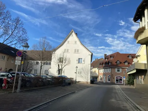


MOCCA Müllheim
Cafe · Coffee Shop · 4.8 km
2 Am Lindle, Müllheim im Markgräflerland
Mo-Fr 08:00-18:00; Sa 10:00-18:00
70 more on the map.
Where to stay16
Churches and places of worship16
Evangelische "Erlöserkirche" in Neuenburg am Rhein
Church · Lutheran
9 Friedhofstraße, Neuenburg am Rhein
Katholische Liebfrauenkirche in Neuenburg am Rhein
Church · Catholic
1 Franziskanerplatz, Neuenburg am Rhein
Freie Christengemeinde Müllheim
Church · Protestant · 5.0 km
5 Auf der Breite, Müllheim im Markgräflerland
AB Gemeinschaft Müllheim
Church · Lutheran · 4.7 km
71a Hauptstraße, Müllheim im Markgräflerland
Evangelische Kirche ("Stadtkirche")
Church · Protestant · 5.0 km
32 Werderstraße, Müllheim im Markgräflerland
Shopping24
Gas and EV charging12
bike-energy Ladestation
EV charging · 3.3 km
9-11 Klosterrunsstraße, Müllheim im Markgräflerland
Schools, colleges and libraries18
Adolph Blankenhorn Gemeinschaftsschule Müllheim
School · 5.2 km
22 Goethestraße, Müllheim im Markgräflerland
Healthcare7
Map of Neuenburg am Rhein
205 places. The map loads OpenStreetMap tiles when you open it.
Getting there and nearby towns
Lahr Airport (LHA) is the nearest airport with scheduled flights listed in OpenStreetMap, 65 km away.
- Steinen 23 km southeast, about 23 min by car
- Weil am Rhein 25 km south, about 25 min by car
- Schopfheim 27 km southeast, about 27 min by car
- Rheinfelden 33 km southeast, about 33 min by car
- Wehr 33 km southeast, about 33 min by car
- Teningen 40 km northeast, about 40 min by car
- Waldkirch 43 km northeast, about 43 min by car
- Titisee-Neustadt 49 km east, about 49 min by car
- Waldshut-Tiengen 54 km southeast, about 54 min by car
- St. Georgen im Schwarzwald 67 km northeast, about 1 h by car
Drive times are estimates from straight-line distance, not routes.
Local news
Headlines from INDB.
Reviews, tips and questions
Loading what members have shared...
Sources and licences
- GeoNames (CC BY 4.0): population, coordinates, regions and time zone
- Mapillary (see each image): photos
- OpenStreetMap contributors (ODbL 1.0): places, airports, map data
- Wikidata (CC0 1.0): elevation, founding date, time zone, website
- Wikimedia Commons (see each image): photos
- Wikipedia (CC BY-SA 4.0): overview and history text
Photo credits
- Neuenburg am Rhein, Rathausplatz, Rauenstein, CC BY-SA 3.0
- Mauerreste des 12. Jhd. zwischen Metzger- und Schlüsselstraße in Neuenburg am Rhein, Andreas Schwarzkopf, CC BY-SA 3.0
- Neuenburg am Rhein jm13532, joergens.mi, CC BY-SA 3.0
- Neuenburg am Rhein jm13409, joergens.mi, CC BY-SA 3.0
- Neuenburg am Rhein jm13404, joergens.mi, CC BY-SA 3.0
- Neuenburg am Rhein jm13399, joergens.mi, CC BY-SA 3.0
- Neuenburg am Rhein jm13394, joergens.mi, CC BY-SA 3.0
- Neuenburg am Rhein jm13372, joergens.mi, CC BY-SA 3.0
- Neuenburg am Rhein jm13367, joergens.mi, CC BY-SA 3.0
- Gedächtnisstele beim Rathaus in Neuenburg am Rhein, Steinenstadt, Andreas Schwarzkopf, CC BY-SA 3.0
- Gedächtnisstele beim Rathaus in Neuenburg am Rhein, Zienken, Andreas Schwarzkopf, CC BY-SA 3.0
- Gedächtnisstele beim Rathaus in Neuenburg am Rhein, Grissheim, Andreas Schwarzkopf, CC BY-SA 3.0
- Gedächtnisstele beim Rathaus in Neuenburg am Rhein, Andreas Schwarzkopf, CC BY-SA 3.0
- Neuenburg am Rhein jm13377, joergens.mi, CC BY-SA 3.0
- Neuenburg am Rhein jm13414, joergens.mi, CC BY-SA 3.0
- Neuenburg am Rhein jm13471, joergens.mi, CC BY-SA 3.0
- Neuenburg am Rhein jm13489, joergens.mi, CC BY-SA 3.0
- Neuenburg am Rhein jm13474, joergens.mi, CC BY-SA 3.0
- Neuenburg am Rhein jm13478, joergens.mi, CC BY-SA 3.0
- Neuenburg am Rhein jm13300, joergens.mi, CC BY-SA 3.0
- Neuenburg am Rhein jm13360, joergens.mi, CC BY-SA 3.0
- Neuenburg am Rhein jm13208, joergens.mi, CC BY-SA 3.0
- Neuenburg am Rhein jm13310, joergens.mi, CC BY-SA 3.0
- Neuenburg am Rhein jm13434, joergens.mi, CC BY-SA 3.0
- Neuenburg am Rhein jm13295, joergens.mi, CC BY-SA 3.0
- Neuenburg am Rhein jm13439, joergens.mi, CC BY-SA 3.0
- Neuenburg am Rhein jm13459, joergens.mi, CC BY-SA 3.0
- Neuenburg am Rhein jm13429, joergens.mi, CC BY-SA 3.0
- Neuenburg am Rhein jm13424, joergens.mi, CC BY-SA 3.0
- Neuenburg am Rhein jm13321, joergens.mi, CC BY-SA 3.0
- Neuenburg am Rhein jm13419, joergens.mi, CC BY-SA 3.0
- Neuenburg am Rhein jm13198, joergens.mi, CC BY-SA 3.0
- Neuenburg am Rhein jm13193, joergens.mi, CC BY-SA 3.0
- Neuenburg am Rhein jm13326, joergens.mi, CC BY-SA 3.0
- Neuenburg am Rhein jm13203, joergens.mi, CC BY-SA 3.0
- Neuenburg am Rhein jm13305, joergens.mi, CC BY-SA 3.0
- Neuenburg am Rhein jm13213, joergens.mi, CC BY-SA 3.0
- Neuenburg am Rhein jm13216, joergens.mi, CC BY-SA 3.0
- Neuenburg am Rhein jm13290, joergens.mi, CC BY-SA 3.0
- Neuenburg am Rhein jm13285, joergens.mi, CC BY-SA 3.0
- Luginsland1, Ramessos, Public domain
- Markgräfler museum blankenhornpalais müllheim, Hungchaka, CC BY-SA 3.0
- Auggen, evangelische Kreuz-Kirche, Amada44, CC BY-SA 3.0
- Hügelheim, Katharinenkirche 1, Rauenstein, CC BY-SA 3.0
- Müllheim, Herz-Jesu-Kirche 1, Rauenstein, CC BY-SA 3.0
- Neuenburg am Rhein, Friedhofskapelle, Rauenstein, CC BY-SA 3.0
- Neuenburg am Rhein, Liebfrauenkirche 2, Rauenstein, CC BY-SA 3.0
- Steinenstadt, Kirche St. Barbara, Schiff, Rauenstein, CC BY-SA 3.0
- Neuenburg am Rhein, Erlöserkirche, Rauenstein, CC BY-SA 3.0
- Dragonerhisli auf dem Müllheimer Zielberg mit Inschrift, Andreas Schwarzkopf, CC BY-SA 4.0
- Street-level photo, tasmaniadevil, CC BY-SA 4.0
- Street-level photo, tasmaniadevil, CC BY-SA 4.0
- Street-level photo, tasmaniadevil, CC BY-SA 4.0
- Street-level photo, tasmaniadevil, CC BY-SA 4.0
- Street-level photo, tasmaniadevil, CC BY-SA 4.0
- Street-level photo, tasmaniadevil, CC BY-SA 4.0
- Street-level photo, tasmaniadevil, CC BY-SA 4.0
- Street-level photo, mfa, CC BY-SA 4.0
- Street-level photo, tasmaniadevil, CC BY-SA 4.0
- Street-level photo, tasmaniadevil, CC BY-SA 4.0
- Street-level photo, VIA_DT, CC BY-SA 4.0
- Street-level photo, tasmaniadevil, CC BY-SA 4.0
- Street-level photo, tasmaniadevil, CC BY-SA 4.0
- Street-level photo, tasmaniadevil, CC BY-SA 4.0
- Street-level photo, tasmaniadevil, CC BY-SA 4.0
- Street-level photo, tasmaniadevil, CC BY-SA 4.0
- Street-level photo, tasmaniadevil, CC BY-SA 4.0
- Street-level photo, tasmaniadevil, CC BY-SA 4.0


Page built November 8, 2026. Spotted a mistake? Tell us or suggest a place.