


Why visit Waldkirch
Townapedia lists 54 museums and landmarks, 30 parks and trails, 133 places to eat, 19 places to stay and 29 attractions in and around town.
Highlights include Eichberg Tower, Franz Xaver Obsthof, Hochburgmuseum and Elztalmuseum Waldkirch.
Weather in Waldkirch
Forecast from MET Norway (CC BY 4.0). Full forecast
About Waldkirch
Waldkirch (German pronunciation: [ˈvaltˌkɪʁç] ) is a town in Baden-Württemberg, Germany, located 15 kilometers northeast of Freiburg im Breisgau. While the English translation of its name is Forest Church, it is known as the "town of mechanical organs", where fairground organs played on the streets were long manufactured by such well-known firms as Carl Frei (later of Breda, Netherlands), Andreas Ruth and Son, and Wilhelm Bruder and Sons. The largest employers today are SICK AG, which manufactures optical sensors, Faller AG, which prints pharmaceutical packages and inserts, and Mack Rides, which exports amusement park and water park rides worldwide. Cultural events include the Klappe 11 Cinema festival, the Organ Festival and the Peter Feuchtwanger Piano Masterclass.
From the Wikipedia article Waldkirch (this version), under CC BY-SA 4.0.
Things to do29

Eichberg Tower
Monument and historic site · 8.4 km
Observation tower near Emmendingen

Franz Xaver Obsthof
Farm and orchard · 2.9 km
3 Schwarzwaldstraße, Waldkirch
Mo-Fr 08:00-18:30; Sa 08:00-17:00; May-Oct: Su 10:00-18:00


Obst und Gemüse Hubert Blattmann
Farm and orchard · 5.9 km
Mo-Fr 10:00-12:00,15:00-18:30;Sa 09:00-12:00
17 more on the map.
Museums and landmarks54


Grube Caroline
Monument and historic site · 4.7 km
En:Mining museum (show mine) - fr:Musée de la mine - de:Besucherbergwerk - es:Parque minero (minas)

Severinskapelle
Monument and historic site · 5.2 km
Former chapel
24/7

The German Diary Archive
Museum · 8.9 km
Archive in Emmendingen, Germany




42 more on the map.
Parks, trails and playgrounds30

Schwarzwaldzoo
Park · 1.1 km
Entrance closes one hour before closing time
8a Am Buchenbühl
Mar,Oct-Nov 09:00-17:00; Apr-Sep 09:00-18:00




18 more on the map.
Restaurants and cafes133
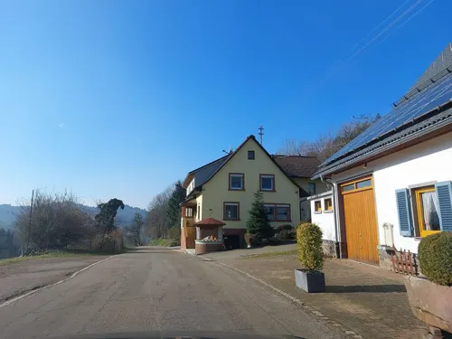
Gasthaus "Zum Gscheid"
Restaurant · German · 4.8 km
Restaurant, Café, Biergarten
16 Gscheidstraße, Freiamt
We-Fr 17:00-22:00;Sa 14:00-22:00;PH,Su 10:00-22:00;Mo,Tu off
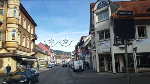
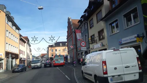
Zum Storchen
Restaurant · Regional
"We are happy to cook for you Tuesday to Saturday from 5:00pm to 9:00pm Our restaurant closes at 10:00pm opening hours may vary on...
24 Lange Straße, Waldkirch
Tu-Sa 17:00-22:00

Acqua
Restaurant · Italian · 1.8 km
45 Am Elzufer, Waldkirch
We-Sa 17:30-22:30; Su 17:30-20:30, Mo,Tu closed
Antica Roma da Rocco
Restaurant · Pizza · 1.0 km
6 Hammerwerkstraße, Waldkirch
We-Fr 11:30-14:00, 17:30-23:00; Sa 17:30-23:00; Su 11:30-14:00, 17:30-23:00
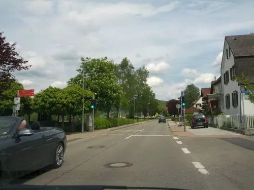
Bergmattenhof
Restaurant · Regional · 4.7 km
21 Lörchstraße, Sexau
Tu-Fr 11:30-23:00; Sa,Su 11:00-24:00, Mo closed
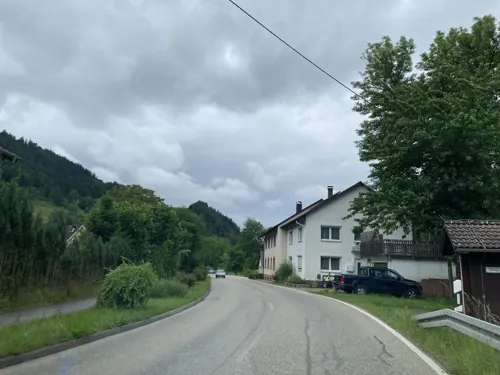
Café Märchengarten
Restaurant · Cake, Regional · 5.5 km
18 An der Niederbruck, Simonswald
Sa-Su 09:00-20:00; Mo 12:00-20:00; Tu-Th 09:00-20:00; Fr off
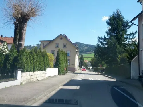
Cucina Cavallo
Restaurant · Italian, Mediterranean · 2.9 km
16/1 Golfstraße
Fr-Su 12:00-22:00; Tu-Th 16:00-22:00

Einbollenstüble
Bar and pub · Pizza, Italian · 5.6 km
1 Zum Einbollen, Denzlingen
Mo-Fr 11:30-14:00, 17:00-23:00; Sa,Su 11:30-23:00
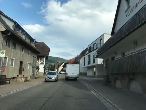
Gasthaus zur Linde
Restaurant · Regional, Balkan · 5.3 km
98 Talstraße
Tu-Sa 17:00-22:00; May-Sep Tu-Sa 11:30-14:00,17:00-22:00; Su,PH...
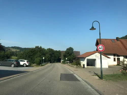


Glotterstüble
Cafe · Regional · 5.3 km
109 Talstraße
Mo-Sa 12:00-18:00; Su, PH 12:00-18:00; Tu, We off
Gummenhütte Fensterliwirt
Restaurant · Regional · 5.5 km
Übernachtungen auf E-Mail-Anfrage
1a, Glottertal
Th,Fr,Sa,Mo 11:30-18:00; Su,PH 10:00-18:00
121 more on the map.
History
The earliest known mention of Waldkirch is the foundation of the Saint Margaret convent, by the Swabian duke Buchard II around the year 918. The settlement was later under the rule of the Schwarzenbergs, who in the 13th century built the Kastelburg and the Schwarzenburg castles alongside the settlement, also adding a city wall.
Schwarzenberg governors gave town privileges to Waldkirch on the 8th of August 1300. The von Rechbergs inherited the territory in 1457, followed by Sebastian von Ehingen in 1546 and Hans Raphael of Reischach in 1560. In 1567 Archduke Ferdinand of Austria gained rule over Schwarzenberg with the town of Waldkirch and from 1805 onwards, Waldkirch was an administrative seat of Outer Austria. The city then fell to the Grand Duchy of Baden and was an administrative seat of the district of Baden until 1936. Since then it has belonged to the district of Emmendingen.
From the History section of Waldkirch on Wikipedia, under CC BY-SA 4.0.
Where to stay19
Schwarzwaldhotel Silberkönig
Motel and hotel · 5.3 km
24 Silberwaldstraße, Gutach im Breisgau
Churches and places of worship29
Shopping31
Gas and EV charging6
Schools, colleges and libraries20
Healthcare14
Map of Waldkirch
250 places. The map loads OpenStreetMap tiles when you open it.
Getting there and nearby towns
Lahr Airport (LHA) is the nearest airport with scheduled flights listed in OpenStreetMap, 32 km away.
- Gutach im Breisgau 3 km northeast, about 3 min by car
- Sexau 4 km west, about 4 min by car
- Denzlingen 7 km southwest, about 7 min by car
- Heuweiler 7 km southwest, about 7 min by car
- Emmendingen 9 km west, about 9 min by car
- Gundelfingen 9 km southwest, about 9 min by car
- Wehr 52 km south, about 52 min by car
- Waldshut-Tiengen 56 km south, about 56 min by car
- Weil am Rhein 61 km southwest, about 1 h by car
- Wildberg 82 km northeast, about 1 h 15 min by car
Drive times are estimates from straight-line distance, not routes.
Local news
Headlines from INDB.
Reviews, tips and questions
Loading what members have shared...
Sources and licences
- GeoNames (CC BY 4.0): population, coordinates, regions and time zone
- Mapillary (see each image): photos
- OpenStreetMap contributors (ODbL 1.0): places, airports, map data
- Wikidata (CC0 1.0): elevation, founding date, time zone, website, landmarks and historic places
- Wikimedia Commons (see each image): photos
- Wikipedia (CC BY-SA 4.0): overview and history text
Photo credits
- Waldkirch Panorama, CrazyD, CC BY-SA 3.0
- Stahlhof Waldkirch, Rückseite, Andreas Schwarzkopf, CC BY-SA 3.0
- Waldkirch, Gebäude Lange Straße 85 (Gasthof Kreuz) 20260319, P170, CC BY-SA 4.0
- Waldkirch, Gebäude Lange Straße 83 20260916, P170, CC BY-SA 4.0
- Infotafel 21 - Stahlhof Waldkirch, James Steakley, CC BY-SA 3.0
- Stahlhof Waldkirch, James Steakley, CC BY-SA 3.0 de
- Feuerwagen in Waldkirch, James Steakley, CC BY-SA 4.0
- Chienbäse in Waldkirch, James Steakley, CC BY-SA 4.0
- Heutige Schleifscheiben der Edelsteinschleiferei Wintermantel in Waldkirch 2, Andreas Schwarzkopf, CC BY-SA 3.0
- Heutige Schleifscheiben der Edelsteinschleiferei Wintermantel in Waldkirch, Andreas Schwarzkopf, CC BY-SA 3.0
- Edelsteinschleiferei Wintermantel in Waldkirch, Andreas Schwarzkopf, CC BY-SA 3.0
- Burghexen Waldkirch (29.01.2023 - 4), James Steakley, CC BY-SA 4.0
- Eichbergturm, Andreas Schwarzkopf, CC BY-SA 3.0
- Deutsches Tagebucharchiv, Hans D. Schmitz, Public domain
- 20161027-01269-Kastelburg, Thomas Berwing, CC BY-SA 3.0
- Schwarzenburg waldkirch 02, Joachim Haller, CC BY 3.0
- Merdingen Kandel jm09571, user:joergens.mi, CC BY-SA 3.0
- Hochburg Panorama, Unknown author, CC BY-SA 3.0
- Grube Caroline in Sexau, Lageplan, Andreas Schwarzkopf, CC BY-SA 3.0
- St. Georg (Bleibach) und Beinhaus, James Steakley, CC BY-SA 3.0
- Propstei des Chorherrenstiftes St. Margaretha, James Steakley, CC BY-SA 3.0 de
- Kath. St. Blasius Kirche im Glottertal 3, Andreas Schwarzkopf, CC BY-SA 3.0
- Kapelle St. Severin Mauracher Berg Denzlingen, Andreas Schwarzkopf (cropped by Rabanus Flavus ), CC BY-SA 4.0
- St. Pankratius, Buchholz, James Steakley, CC BY-SA 4.0
- Silberbergwerk Suggental Josephistollen, Christian Rößler, Public domain
- Vietnamesischer Sikahirsch, Alfred Kiefer, CC BY-SA 4.0
- Foto Propsteigebäude St. Margarethen (2018), Elztalmuseum Waldkirch, CC BY-SA 4.0
- Carlsbau im Glottertal, bekannt durch die Fernsehserie Die Schwarzwaldklinik. 4, Andreas Schwarzkopf, CC BY-SA 3.0
- Vereinigte Liestaler Fasnachts-Cliquen (31.01.15 - 6), James Steakley, CC BY-SA 4.0
- Vereinigte Liestaler Fasnachts-Cliquen (31.01.15 - 1), James Steakley, CC BY-SA 4.0
- Vereinigte Liestaler Fasnachts-Cliquen (31.01.15 - 5), James Steakley, CC BY-SA 4.0
- Bajasse der Narrenzunft Krakeelia (31.01.15 - 1), James Steakley, CC BY-SA 4.0
- Vereinigte Liestaler Fasnachts-Cliquen (31.01.15 - 4), James Steakley, CC BY-SA 4.0
- Vereinigte Liestaler Fasnachts-Cliquen (31.01.15 - 2), James Steakley, CC BY-SA 4.0
- Vereinigte Liestaler Fasnachts-Cliquen (31.01.15 - 3), James Steakley, CC BY-SA 4.0
- Endinger Jokili und Stadthansel der NZ Bräunlingen (31.01.15), James Steakley, CC BY-SA 4.0
- Endinger Jokili (31.01.15), James Steakley, CC BY-SA 4.0
- Stadthansel der NZ Bräunlingen (31.01.15), James Steakley, CC BY-SA 4.0
- Kandelhexen der Narrenzunft Krakeelia (31.01.15), James Steakley, CC BY-SA 4.0
- Bajasse der Narrenzunft Krakeelia (31.01.15 - 2), James Steakley, CC BY-SA 4.0
- Street-level photo, fxesbg, CC BY-SA 4.0
- Street-level photo, fxesbg, CC BY-SA 4.0
- Street-level photo, fxesbg, CC BY-SA 4.0
- Street-level photo, fxesbg, CC BY-SA 4.0
- Street-level photo, qungo, CC BY-SA 4.0
- Street-level photo, fxesbg, CC BY-SA 4.0
- Street-level photo, qungo, CC BY-SA 4.0
- Street-level photo, qungo, CC BY-SA 4.0
- Street-level photo, qungo, CC BY-SA 4.0
- Street-level photo, tbkrtz, CC BY-SA 4.0
- Street-level photo, tbkrtz, CC BY-SA 4.0
- Street-level photo, tbkrtz, CC BY-SA 4.0
- Street-level photo, tbkrtz, CC BY-SA 4.0
- Street-level photo, tasmaniadevil, CC BY-SA 4.0
- Street-level photo, fxesbg, CC BY-SA 4.0
- Street-level photo, fxesbg, CC BY-SA 4.0
- Street-level photo, qungo, CC BY-SA 4.0
- Street-level photo, fxesbg, CC BY-SA 4.0
- Street-level photo, qungo, CC BY-SA 4.0
- Street-level photo, karthoo, CC BY-SA 4.0
- Street-level photo, karthoo, CC BY-SA 4.0
- Street-level photo, qungo, CC BY-SA 4.0
- Street-level photo, qungo, CC BY-SA 4.0
- Street-level photo, qungo, CC BY-SA 4.0
- Street-level photo, tbkrtz, CC BY-SA 4.0
- Street-level photo, tbkrtz, CC BY-SA 4.0
- Street-level photo, VIA_DT, CC BY-SA 4.0


Page built November 8, 2026. Spotted a mistake? Tell us or suggest a place.