


Why visit Calbe
Townapedia lists 14 museums and landmarks, 5 parks and trails, 15 places to eat, 4 places to stay and 6 attractions in and around town.
Highlights include Bismarckturm, Kirchberg, Radsportmuseum "Course de la Paix" and Denkmal für die Gefallenen der Weltkriege.
Weather in Calbe
Forecast from MET Norway (CC BY 4.0). Full forecast
About Calbe
Calbe (German pronunciation: [ˈkalbə]; official name: Calbe (Saale)) is a town in the district of Salzlandkreis, in Saxony-Anhalt, in east-central Germany.
From the Wikipedia article Calbe (this version), under CC BY-SA 4.0.
Things to do6

Bismarckturm
Scenic view · 4.0 km
8 Wartenberg, Calbe (Saale)
Sa 14:00-17:00; Su 10:00-17:00


Museums and landmarks14

Radsportmuseum "Course de la Paix"
Museum · 5.0 km
20 Grabenstraße, Bördeland
We,Su 13:00-17:00; Mo,Tu,Th-Sa off


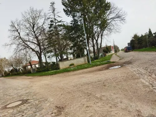

Wasserturm
Monument and historic site · 2.1 km
Barbyer Chaussee 3 Betriebsgelände Doppstadt, an den Gleisen der Bahnstrecke von Calbe-West nach Calbe-Ost


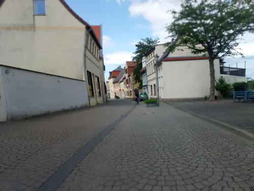

2 more on the map.
Parks, trails and playgrounds5


Restaurants and cafes15
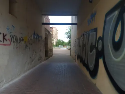
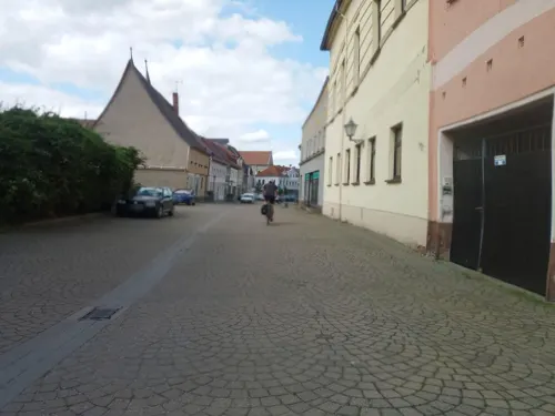

Waldgaststätte Wartenberg
Restaurant · German · 3.3 km
1 Wartenberg, Calbe (Saale)
Tu-Su 10:00+; Mo off; Nov-Apr Sa,Su 11:00-18:00

Gaststätte am Mühlenberg
Bar and pub · Local · 4.2 km
2 Nienburger Weg
Tu, Th-Fr 16:00-21:00
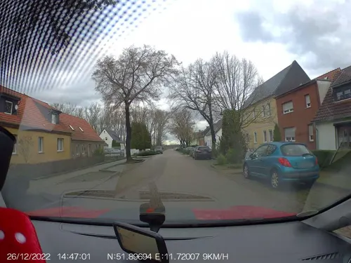
Gaststube zum Müllerhof
Restaurant · 3.9 km
8 Alte Calbesche Straße
Fr-Sa 16:00-22:00; Su 15:00-22:00
Pizza-Haus-Calbe
Restaurant · Barbecue, Kebab, Noodle, Pizza, Turkish
Mo-Sa 11:00-21:00; Su,PH 12:00-21:00

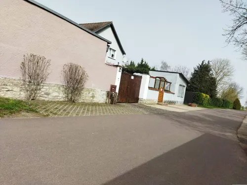



3 more on the map.
History
In 1710, a commune of French Huguenots was founded in the town.
From the History section of Calbe on Wikipedia, under CC BY-SA 4.0.
Where to stay4
Zimmervermietung im Sportzentrum
Motel and hotel · 5.1 km
1 Zenser Straße, Bördeland
Churches and places of worship12
Katharina-von-Bora-Kirche
Church · Protestant · 6.5 km
Saalestraße, Barby
Shopping6
Gas and EV charging5
Schools, colleges and libraries5
Sekundarschule "Johann Gottfried Herder"
School · 0.7 km
19 Feldstraße, Calbe (Saale)
Healthcare1
Map of Calbe
73 places. The map loads OpenStreetMap tiles when you open it.
Getting there and nearby towns
Flugplatz Köthen (KOQ) is the nearest airport with scheduled flights listed in OpenStreetMap, 24 km away.
- Schönebeck 13 km north, about 13 min by car
- Staßfurt 14 km southwest, about 14 min by car
- Köthen 22 km southeast, about 22 min by car
- Zerbst 22 km east, about 22 min by car
- Magdeburg 27 km north, about 27 min by car
- Dessau 33 km east, about 33 min by car
- Hettstedt 34 km southwest, about 34 min by car
- Wolmirstedt 39 km north, about 39 min by car
- Wolfen 44 km southeast, about 44 min by car
- Halle (Saale) 49 km south, about 49 min by car
Drive times are estimates from straight-line distance, not routes.
Local news
Headlines from INDB.
Reviews, tips and questions
Loading what members have shared...
Sources and licences
- GeoNames (CC BY 4.0): population, coordinates, regions and time zone
- Mapillary (see each image): photos
- OpenStreetMap contributors (ODbL 1.0): places, airports, map data
- Wikidata (CC0 1.0): elevation, founding date, time zone, website
- Wikimedia Commons (see each image): photos
- Wikipedia (CC BY-SA 4.0): overview and history text
Photo credits
- Calbe Grabenstraße, Joeb07, CC BY 3.0
- Calbe Norbertus 2021, Kirchenfan, CC0
- Calbe Norbertus Spitze, Kirchenfan, CC0
- Calbe Elisabeth 2021, Kirchenfan, CC0
- Calbe-Stephanikirche-21, SchiDD, CC BY-SA 4.0
- Calbe (Saale), die Schloßstraße, Dguendel, CC BY 3.0
- Calbe (Saale), die Straße "Wassertor", Dguendel, CC BY 3.0
- Calbe (Saale), die Heilig-Geist-Kirche, Dguendel, CC BY 3.0
- Calbe (Saale), Haus Schloßstraße 7, Dguendel, CC BY 3.0
- Calbe (Saale), Haus Schloßstraße 6, Dguendel, CC BY 3.0
- Calbe (Saale), Haus Schloßstraße 3A, Dguendel, CC BY 3.0
- Calbe (Saale), Haus Schloßstraße 3 (ehemaliges Amtsgericht), Dguendel, CC BY 3.0
- Calbe (Saale), the southern end of the Schloßstraße, Dguendel, CC BY 3.0
- Calbe (Saale), the church St. Stephani, Dguendel, CC BY 3.0
- Calbe (Saale), Haus Schloßstraße 109, Dguendel, CC BY 3.0
- Calbe (Saale), Haus Schloßstraße 31, Dguendel, CC BY 3.0
- Calbe (Saale), Getränkehandel in der Schloßstraße, Dguendel, CC BY 3.0
- Calbe-Breite-03-44, SchiDD, CC BY-SA 4.0
- Calbe (Saale), Haus Wilhelm-Loewe-Straße 50a, Dguendel, CC BY 3.0
- Calbe (Saale), die St.-Stephani-Kirche, Dguendel, CC BY 3.0
- Calbe-Wilhelm-Loewe-Str, SchiDD, CC BY-SA 4.0
- Calbe (Saale), die Wilhelm-Loewe-Straße, Dguendel, CC BY 3.0
- Calbe (Saale), das ehemalige Postamt, Dguendel, CC BY 3.0
- Calbe-Schloßstr-110, SchiDD, CC BY-SA 4.0
- Calbe-Loewe-Straße, SchiDD, CC BY 4.0
- Calbe (Saale), die St.-Stephani-Kirche, Portal-1, Dguendel, CC BY 3.0
- Calbe-Stephanikirche-19, SchiDD, CC BY-SA 4.0
- Calbe-Breite-ges2, SchiDD, CC BY-SA 4.0
- Calbe-Breite-ges1, SchiDD, CC BY-SA 4.0
- Calbe (Saale), St.-Stephani-Kirche, die Wrangelkapelle, Portal, Dguendel, CC BY 3.0
- Calbe (Saale), St.-Stephani-Kirche, die Wrangelkapelle-1, Dguendel, CC BY 3.0
- Calbe (Saale), die St.-Stephani-Kirche, Teilansicht, Dguendel, CC BY 3.0
- Calbe-Stephanikirche-22, SchiDD, CC BY 4.0
- Calbe (Saale), die Häuser Markt 20 und 21, Dguendel, CC BY 3.0
- Calbe (Saale), Haus Markt 20, Dguendel, CC BY 3.0
- Calbe (Saale), der Marktplatz (Nordseite), Dguendel, CC BY 3.0
- Calbe (Saale), das Rathaus, Dguendel, CC BY 3.0
- Calbe (Saale), Haus Markt 5 (Stadt-Apotheke), Dguendel, CC BY 3.0
- Kirchberg Klein Mühlingen, Olaf Meister ( Olaf2 ), CC BY-SA 4.0
- Bismarkturm (Wartenberg), Meleagros, CC BY-SA 3.0 de
- Katharina von Bora Kirche Werkleitz, Olaf Meister, CC BY-SA 3.0
- Lorenzkirche Calbe, The original uploader was Meleagros at German Wikipedia ., CC BY-SA 2.0 de
- Norbertikirche, Dieter H. Steinmetz, CC BY-SA 2.0 de
- Calbe Kirche2, Joeb07, CC BY 3.0
- Mühle Klein Mühlingen, Olaf Meister ( Olaf2 ), CC BY-SA 4.0
- Kirche Kleinmühlingen, Greifen, CC BY-SA 3.0
- Zens Orgel, Greifen, CC0
- Radsportmuseum "Course de la Paix" mit von Tasso gestaltetem Giebel - panoramio, Default Name, CC BY-SA 3.0
- Brumby, St. Petri (02), Subbass1, CC BY-SA 4.0
- Tornitz (Barby) - the village church - 2, Dguendel, CC BY 3.0
- Schwarz(Calbe),Denkmal, M_H.DE, CC BY-SA 3.0
- Suehnekreuz Calbe (094 61081) (4), Lutz Lange ( talk ), CC BY-SA 4.0
- Wedlitz, Windmühle, M_H.DE, CC BY 3.0
- Schwarz (Calbe), Schwengelpumpe, M_H.DE, CC BY-SA 3.0
- Schwarz(Calbe),Kirche, M_H.DE, CC BY-SA 3.0
- Calbe (Saale), the Roland, Dguendel, CC BY 3.0
- Street-level photo, natura, CC BY-SA 4.0
- Street-level photo, bejotel, CC BY-SA 4.0
- Street-level photo, mbeuse, CC BY-SA 4.0
- Street-level photo, natura, CC BY-SA 4.0
- Street-level photo, AR88, CC BY-SA 4.0
- Street-level photo, bejotel, CC BY-SA 4.0
- Street-level photo, changchun1, CC BY-SA 4.0
- Street-level photo, AR88, CC BY-SA 4.0
- Street-level photo, changchun1, CC BY-SA 4.0
- Street-level photo, bejotel, CC BY-SA 4.0
- Street-level photo, bejotel, CC BY-SA 4.0
- Street-level photo, natura, CC BY-SA 4.0
- Street-level photo, surveyor99, CC BY-SA 4.0


Page built November 8, 2026. Spotted a mistake? Tell us or suggest a place.