


Why visit Edewecht
Townapedia lists 51 museums and landmarks, 50 parks and trails, 107 places to eat, 33 places to stay and 10 attractions in and around town.
Highlights include Bauerladen Jut's, Geigers Imkerwelt – Honig Selbstbedienung, Ehrenfriedhof Edewecht and Freilichtmuseum Ammerländer Bauernhaus.
Weather in Edewecht
Forecast from MET Norway (CC BY 4.0). Full forecast
About Edewecht
Edewecht (German pronunciation: [ˈeːdəˌvɛçt]; Low German: Erwech) is a municipality in the Ammerland district, in Lower Saxony, Germany. It is situated approximately 15 kilometres (9 miles) west of Oldenburg.
From the Wikipedia article Edewecht (this version), under CC BY-SA 4.0.
Things to do10
Bauerladen Jut's
Farm and orchard · 6.1 km
1 Anemonenweg, Bad Zwischenahn
Mo-Fr 08:00-17:00; Sa 09:00-13:00

Geigers Imkerwelt – Honig Selbstbedienung
Farm and orchard · 5.0 km
Selbstbedienung mit Vertrauenskasse: Honig, Wabenhonig, Bienenwachskerzen und Geschenke. Rund um die Uhr geöffnet. Glasrückgabe vor Ort.
8A Westeresch, Bad Zwischenahn
24/7
Himpsl-Hof
Farm and orchard · 2.6 km
2a Waterkamp, Edewecht
Tu 09:00-18:00; Th-Fr 09:00-18:00; Sa 09:00-12:30

Motormühle Rostrup
Cinema and theater · 7.1 km
1 Alpenrosenweg, Bad Zwischenahn

Museums and landmarks51




39 more on the map.
Parks, trails and playgrounds50








38 more on the map.
Restaurants and cafes107

Delikat
Restaurant · German, Regional, Ice Cream · 6.5 km
5 Am Badepark, Bad Zwischenahn
Mo-Sa 13:00-21:00; Su,PH 12:00-21:00
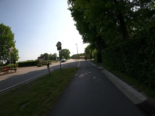
Der Löns-Krug
Restaurant · Regional · 7.8 km
35 Wiefelsteder Straße, Bad Zwischenahn
Mo-Su 17:30-22:00; Su 11:30-15:00
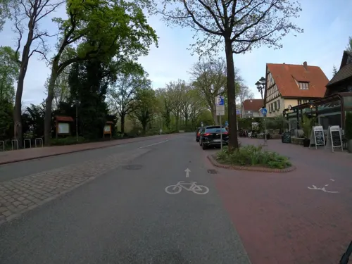
Kalimera
Restaurant · Greek · 6.4 km
23 In der Horst, Bad Zwischenahn
Tu-Fr 17:00-22:00; Sa 12:00-14:30,17:00-22:00; Su,PH 12:00-21:00
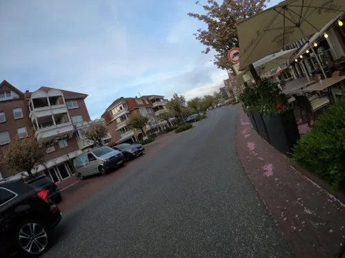
Mr.Trần
Restaurant · Asian, Japanese, Vietnamese · 6.3 km
41 Peterstraße, Bad Zwischenahn
Mo,Tu 17:00-22:00; We-Fr 11:00-15:00,17:00-22:00; Sa,Su 11:00-22:00
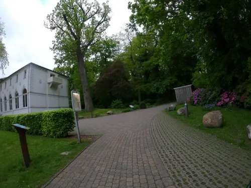
Oscar's Café & Restaurant
Restaurant · Regional, Mediterranean · 6.6 km
20 Auf dem Hohen Ufer, Bad Zwischenahn
Tu-Su,PH 11:00-23:00
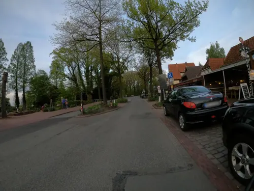


Ristorante da Sergio Bad Zwischenahn
Restaurant · Regional · 6.4 km
19 In der Horst, Bad Zwischenahn
Mo-Su 11:30-22:00


Traumbohne
Cafe · Coffee Shop, Breakfast
88 Hauptstraße, Edewecht
Tu-Fr 09:00-12:30,14:00-17:00; Sa 09:00-12:00,14:00-17:00; Su...
95 more on the map.
History
Edewecht was the scene of severe fights during the last weeks of the Second World War. Coming from Friesoythe in the south, on April 17, 1945, Canadian troops had to conquer Edewecht in fierce house-by-house fighting against fanatic German paratroopers and other soldiers. The famous German artist Joseph Beuys, who was a young man in those days, was one of the Wehrmacht paratroopers defending Edewecht, and got injured on April 27 during battle.
This battle was the fifth time that Edewecht was destroyed in a war. The first four times were in the 15th and 16th centuries. Edewecht had been a border watch location between Eastern Frisia and the County of Oldenburg for many centuries.
From the History section of Edewecht on Wikipedia, under CC BY-SA 4.0.
Where to stay33
Erholungshilfe Sozialtherapeutische Erlebnisreisen e.V.
Motel and hotel · 7.2 km
8 Seerosenweg, Bad Zwischenahn
Churches and places of worship12
Petersfehner Kirche
Church · Evangelical · 8.5 km
83a Mittellinie, Bad Zwischenahn
St. Marien-Kirche
Church · Roman Catholic · 6.6 km
15 Auf dem Hohen Ufer, Bad Zwischenahn
Neuapostolische Kirche Bad Zwischenahn
Church · 5.6 km
54 Brummerforth, Bad Zwischenahn
Katharina-Kirche Rostrup
Church · Lutheran · 7.5 km
2 Zeppelinstraße, Bad Zwischenahn
Königreichssaal Jehovas Zeugen
Church · Jehovahs Witness · 3.4 km
46 Burgfelder Straße, Bad Zwischenahn
Shopping37
Gas and EV charging19
Schools, colleges and libraries20
Erwin Roscke Grundschule Aschhausen
School · 8.4 km
24 Herbartstraße, Bad Zwischenahn
Healthcare11
Apotheke Friedrichsfehn
Clinic and pharmacy · 7.2 km
23b Friedrichsfehner Straße, Edewecht
Map of Edewecht
250 places. The map loads OpenStreetMap tiles when you open it.
Getting there and nearby towns
Flugplatz Varrelbusch (VAC) is the nearest airport with scheduled flights listed in OpenStreetMap, 25 km away.
- Friesoythe 15 km southwest, about 15 min by car
- Westerstede 15 km north, about 15 min by car
- Oldenburg 15 km east, about 15 min by car
- Apen 16 km northwest, about 16 min by car
- Wardenburg 16 km southeast, about 16 min by car
- Wiefelstede 17 km northeast, about 17 min by car
- Rastede 19 km northeast, about 19 min by car
- Garrel 19 km south, about 19 min by car
- Ostrhauderfehn 24 km west, about 24 min by car
- Großenkneten 27 km southeast, about 27 min by car
Drive times are estimates from straight-line distance, not routes.
Local news
Headlines from INDB.
Reviews, tips and questions
Loading what members have shared...
Sources and licences
- GeoNames (CC BY 4.0): population, coordinates, regions and time zone
- Mapillary (see each image): photos
- OpenStreetMap contributors (ODbL 1.0): places, airports, map data
- Wikidata (CC0 1.0): elevation, founding date, time zone, website
- Wikimedia Commons (see each image): photos
- Wikipedia (CC BY-SA 4.0): overview and history text
Photo credits
- Kokerwindmühle (J. Hillje) in Edewecht (2023), JoachimKohler-HB, CC BY-SA 4.0
- Bushaltestelle mit elektr. Informationstafel in Edewecht (2026), JoachimKohler-HB, CC BY-SA 4.0
- Rathaus Edewecht mit Brunnen und Kunst (2026), JoachimKohler-HB, CC BY-SA 4.0
- Edewechter Katholenkirche St. Vinzenz-Palotti (2025), JoachimKohler-HB, CC BY-SA 4.0
- Rathaus Edewecht mit Findlingsbrunnen und Kunst (2026), JoachimKohler-HB, CC BY-SA 4.0
- Turm der Kath. Kirche St. Vinzenz-Palotti in Edewecht (2026), JoachimKohler-HB, CC BY-SA 4.0
- Rathaus Edewecht (2025), JoachimKohler-HB, CC BY-SA 4.0
- Christuskirche - Evangelisch-methodistische Kirche in Edewecht (2024), JoachimKohler-HB, CC BY-SA 4.0
- Ristorante Ciao Ciao in Edewecht (2025), JoachimKohler-HB, CC BY-SA 4.0
- Hauptstr. 39 Speichergebäude Heinjehof Edewecht (2026), JoachimKohler-HB, CC BY-SA 4.0
- Ammerland Knotenpunkt 56 in Edewecht (2023), JoachimKohler-HB, CC BY-SA 4.0
- Kaffeerösterei Traumbohne in Edewecht (2025), JoachimKohler-HB, CC BY-SA 4.0
- Hauptstraße 83 in Edewecht (2023), JoachimKohler-HB, CC BY-SA 4.0
- Kaiser Friedrich III-Denkmal in Edewecht (2024), JoachimKohler-HB, CC BY-SA 4.0
- Filiale Edewecht der Oldenburger Volksbank eG (2023), JoachimKohler-HB, CC BY-SA 4.0
- Ammerland Knotenpunkt 55 in Edewecht (2025), JoachimKohler-HB, CC BY-SA 4.0
- Oldenburger Volksbank in Edewecht (2025), JoachimKohler-HB, CC BY-SA 4.0
- Dänikhorster MoorMoorsee, Monika Hackert, CC BY-SA 3.0
- Bad Zwischenahn - Am Hogen Hagen - Kurpark - Freilichtmuseum Ammerländer Bauernhaus - Spieker 02 ies, Frank Vincentz, CC BY-SA 3.0
- Naturschutzgebiet Jeddeloher Moor, Wemken, CC BY-SA 4.0
- Oldenburg nach Bad Zwischenahn Landesgartenschau 108, Bin im Garten, CC BY-SA 3.0
- Bad Zwischenahn Johanneskirche, -- Xocolatl ( talk ) 17:25, 14 April 2011 (UTC), CC0
- St. Nikolai-Kirche Edewecht, Helmut Behrends, Freesenweg 41, D-26131 Oldenburg, CC BY-SA 3.0 de
- Fintlandsmoor 2 - 20.04.2019, Olaf Krüper, CC BY-SA 4.0
- Evening at the Vehnemoor, Darius Dzinnik, CC BY-SA 3.0
- NSG Engelsmeer, Monika Hackert, CC BY-SA 3.0
- Bad Zwischenahn - Auf dem Hohen Ufer+Fährweg - St.-Marien-Kirche + Mariensäule 01 ies, Frank Vincentz, CC BY-SA 3.0
- Neuapostolische Kirche in Bad Zwischenahn, JoachimKohler-HB, CC BY-SA 4.0
- LSG WST 00072 Wildenloh, Ralf Krebs, CC BY 3.0
- -Park der Gärten in Bad Zwischenahn-Rostrup (2025), JoachimKohler-HB, CC BY-SA 4.0
- Abgestorbene Bäume im Dänikhorster Moor (Bad Zwischenahn 2024), JoachimKohler-HB, CC BY-SA 4.0
- 190519 1317 EngelsmeerStitch2, M.J., CC BY-SA 4.0
- Burgplatz Mansingen Westerstede 01, Alois Köppl, Gleiritsch, CC BY 3.0
- Fendt Farmer 260S mit Wassertank (2026), JoachimKohler-HB, CC BY-SA 4.0
- Fendt Farmer 260S in Niedersachsen (2026), JoachimKohler-HB, CC BY-SA 4.0
- Spieker Ammerländer Bauernhaus (32703180523), dronepicr, CC BY 2.0
- Street-level photo, deleted_user, CC BY-SA 4.0
- Street-level photo, bejotel, CC BY-SA 4.0
- Street-level photo, VIA_KK, CC BY-SA 4.0
- Street-level photo, VIA_KK, CC BY-SA 4.0
- Street-level photo, moenk, CC BY-SA 4.0
- Street-level photo, VIA_KK, CC BY-SA 4.0
- Street-level photo, VIA_KK, CC BY-SA 4.0
- Street-level photo, VIA_KK, CC BY-SA 4.0
- Street-level photo, VIA_KK, CC BY-SA 4.0
- Street-level photo, huna, CC BY-SA 4.0
- Street-level photo, VIA_KK, CC BY-SA 4.0
- Street-level photo, moenk, CC BY-SA 4.0
- Street-level photo, bejotel, CC BY-SA 4.0
- Street-level photo, derlipper, CC BY-SA 4.0
- Street-level photo, bejotel, CC BY-SA 4.0
- Street-level photo, deleted_user, CC BY-SA 4.0
- Street-level photo, VIA_KK, CC BY-SA 4.0
- Street-level photo, deleted_user, CC BY-SA 4.0
- Street-level photo, deleted_user, CC BY-SA 4.0
- Street-level photo, deleted_user, CC BY-SA 4.0
- Street-level photo, VIA_KK, CC BY-SA 4.0
- Street-level photo, Foto123, CC BY-SA 4.0


Page built November 8, 2026. Spotted a mistake? Tell us or suggest a place.