


Why visit Garrel
Townapedia lists 14 museums and landmarks, 36 parks and trails, 51 places to eat, 20 places to stay and 3 attractions in and around town.
Highlights include Honig-Hof Göken, Barenberg, Dat Heimathuus and Böseler Moor.
Weather in Garrel
Forecast from MET Norway (CC BY 4.0). Full forecast
About Garrel
Garrel (German pronunciation: [ˈɡaʁəl]) is a municipality in the district of Cloppenburg, in Lower Saxony, Germany. It is situated approximately 15 km north of Cloppenburg, and 25 km southwest of Oldenburg.
From the Wikipedia article Garrel (this version), under CC BY-SA 4.0.
Things to do3
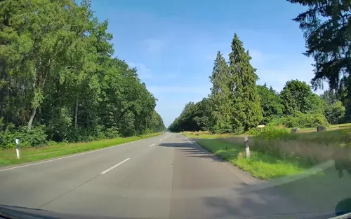
Honig-Hof Göken
Farm and orchard · 7.8 km
67 Thüler Straße, Friesoythe
Mo-Fr 08:00-18:00; Sa,Su,PH off


Preuth
Farm and orchard · 4.3 km
Verkauf von Fleisch, Honig, Eiern, Kartoffeln und Getränken (teilw. im Automaten), außerdem noch Deko-Artikel und Gartenstauden
33 Lindenallee
Museums and landmarks14



2 more on the map.
Parks, trails and playgrounds36




Wetterschutzhütte
Park · 6.5 km
Picknickplatz und Schutzhütte
Grüner Weg, Varrelbusch

24 more on the map.
Restaurants and cafes51
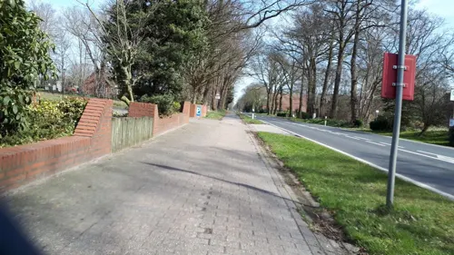

Gasthof zur Linde
Restaurant · German · 6.9 km
52 Thüler Straße, Friesoythe
Mo-Tu 17:30-21:30; Th-Sa 11:30-13:30, 17:30-21:30; Su 11:30-13:30,...
La Bella Restaurant & Hotel
Restaurant · German · 6.9 km
4 Drei-Brücken-Weg, Garrel
Restaurant: Mo - Sa 17:00 - 24:00, Su 12:00 - 22:00; Kiosk:...
Restaurant & Bauern CAFE Döpke
Restaurant · Regional · 7.8 km
1 Friesoyther Straße, Garrel
Mo off; Tu,We 09:00+; Th-Su,PH 09:00+
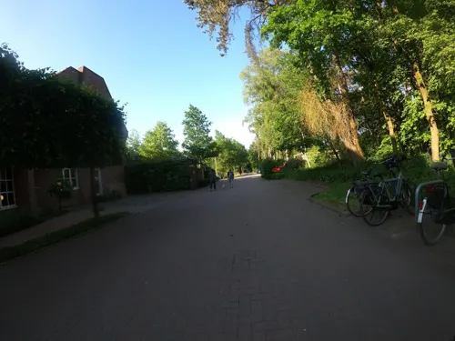
Restaurant Calluna im Hotel Heidegrund
Restaurant · Regional · 6.9 km
10 Drei-Brücken-Weg, Garrel
12:00-21:00

Stadtbäckerei Frerker
Bakery · 0.7 km
2a Böseler Straße, Garrel
Mo-Fr 06:30-18:00; Sa 06:30-16:00; Su 08:00-11:00
China-Restaurant Pacific
Restaurant
11 Hauptstraße
Mo off; Tu-Sa 12:00-14:30,18:00-22:00; Su,PH 12:00-22:00


39 more on the map.
Where to stay20
Churches and places of worship14
St. Johannes Baptist Kirche
Church · Catholic · 7.5 km
31 Thüler Kirchstraße, Friesoythe
Shopping17
Gas and EV charging8
Schools, colleges and libraries10
Healthcare4
Map of Garrel
177 places. The map loads OpenStreetMap tiles when you open it.
Getting there and nearby towns
Flugplatz Varrelbusch (VAC) is the nearest airport with scheduled flights listed in OpenStreetMap, 5 km away.
- Großenkneten 15 km east, about 15 min by car
- Wardenburg 16 km northeast, about 16 min by car
- Emstek 16 km southeast, about 16 min by car
- Oldenburg 24 km northeast, about 24 min by car
- Hatten 26 km northeast, about 26 min by car
- Wildeshausen 28 km east, about 28 min by car
- Vechta 31 km southeast, about 31 min by car
- Löningen 30 km southwest, about 30 min by car
- Quakenbrück 32 km south, about 32 min by car
- Westerstede 34 km north, about 34 min by car
Drive times are estimates from straight-line distance, not routes.
Local news
Headlines from INDB.
Reviews, tips and questions
Loading what members have shared...
Sources and licences
- GeoNames (CC BY 4.0): population, coordinates, regions and time zone
- Mapillary (see each image): photos
- OpenStreetMap contributors (ODbL 1.0): places, airports, map data
- Wikidata (CC0 1.0): elevation, founding date, time zone, website
- Wikimedia Commons (see each image): photos
- Wikipedia (CC BY-SA 4.0): overview and history text
Photo credits
- Kirche Garrel 4, ClausNe, CC BY-SA 4.0
- Kirche Garrel 6, ClausNe, CC BY-SA 4.0
- Kirche Garrel 3, ClausNe, CC BY-SA 4.0
- Kirche Garrel 5, ClausNe, CC BY-SA 4.0
- Kirche Garrel 2, ClausNe, CC BY-SA 4.0
- Kirche Garrel 1, ClausNe, CC BY-SA 4.0
- Garrel Dorfpark 3, Corradox, CC BY 4.0
- Emstek - Dianasee, Corradox, CC BY-SA 3.0
- Böseler Moor - 02, Muschelschubser, CC BY-SA 3.0
- Thülsfelder Talsperre Westufer, Corradox, CC BY-SA 3.0
- Garrel - St Peter u Paul v S, Flodur63, CC BY-SA 4.0
- Kirche Nikolausdorf, ClausNe, CC BY-SA 4.0
- Kirche Beverbruch, ClausNe, CC BY-SA 4.0
- Kirche Kellerhöhe 1, ClausNe, CC BY-SA 4.0
- Ahlhorn Petri-Kapelle, Corradox, CC BY-SA 3.0
- St. Peter und Paul - Petersdorf, HardcoreJan, CC BY-SA 4.0
- St. Johannes Baptist Thüle, Jacek Rużyczka, CC BY-SA 4.0
- Gibbongehege Thüle, Allie_Caulfield, CC BY 2.0
- Ahlhorner Fischteiche 02, Cec-clp, CC BY-SA 4.0
- Böseler Moor - 01, Muschelschubser, CC BY-SA 3.0
- St. Cäcilia-Kirche in Bösel, JoachimKohler-HB, CC BY-SA 4.0
- Blue and yellow Opel Manta B GSi (Til Schweiger replica), Jacek Rużyczka, CC BY-SA 4.0
- Dat Heimathuus in Bösel (2024), JoachimKohler-HB, CC BY-SA 4.0
- Street-level photo, jmsbert, CC BY-SA 4.0
- Street-level photo, VIA_KK, CC BY-SA 4.0
- Street-level photo, VIA_KK, CC BY-SA 4.0
- Street-level photo, VIA_KK, CC BY-SA 4.0
- Street-level photo, moenk, CC BY-SA 4.0
- Street-level photo, camdrive2000, CC BY-SA 4.0
- Street-level photo, camdrive2000, CC BY-SA 4.0
- Street-level photo, jmsbert, CC BY-SA 4.0
- Street-level photo, hendel, CC BY-SA 4.0
- Street-level photo, camdrive2000, CC BY-SA 4.0
- Street-level photo, jmsbert, CC BY-SA 4.0
- Street-level photo, VIA_KK, CC BY-SA 4.0
- Street-level photo, VIA_KK, CC BY-SA 4.0
- Street-level photo, hendel, CC BY-SA 4.0
- Street-level photo, VIA_KK, CC BY-SA 4.0
- Street-level photo, moenk, CC BY-SA 4.0
- Street-level photo, VIA_KK, CC BY-SA 4.0
- Street-level photo, hendel, CC BY-SA 4.0
- Street-level photo, hendel, CC BY-SA 4.0


Page built November 8, 2026. Spotted a mistake? Tell us or suggest a place.