


Why visit Friesoythe
Townapedia lists 44 museums and landmarks, 101 parks and trails, 89 places to eat, 21 places to stay and 19 attractions in and around town.
Highlights include Himpsl-Hof, Honig-Hof Göken, Postgeschichtliches Museum and Kulturzentrum Alte Wassermühle.
Weather in Friesoythe
Forecast from MET Norway (CC BY 4.0). Full forecast
About Friesoythe
Friesoythe, (German pronunciation: [friːˈzɔʏtə] or [friːsˈʔɔʏtə]; Low German: Aithe; Saterland Frisian: Ait or Äit) is a town in the district of Cloppenburg, Lower Saxony, Germany, on the river Soeste, 25 kilometres (16 mi) northwest of Cloppenburg, and 30 kilometres (19 mi) southwest of Oldenburg.
From the Wikipedia article Friesoythe (this version), under CC BY-SA 4.0.
Things to do19

Himpsl-Hof
Farm and orchard · 12.3 km
2a Waterkamp, Edewecht
Tu 09:00-18:00; Th-Fr 09:00-18:00; Sa 09:00-12:30
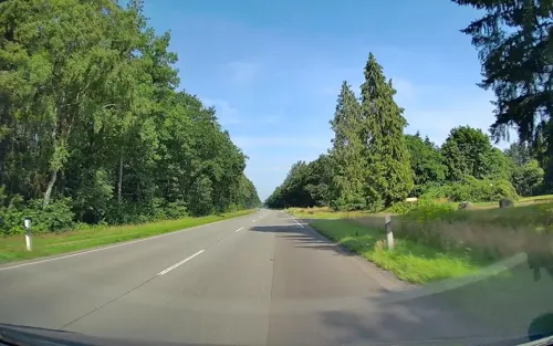
Honig-Hof Göken
Farm and orchard · 6.4 km
67 Thüler Straße, Friesoythe
Mo-Fr 08:00-18:00; Sa,Su,PH off
Friesoyther Frischehof
Farm and orchard · 1.9 km
10 Ellerbrocker Straße, Friesoythe
Mo-Fr 08:00-18:00; Sa 08:00-15:00; Su, PH off


7 more on the map.
Museums and landmarks44
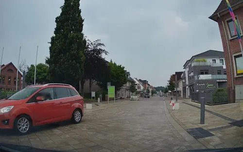
Postgeschichtliches Museum
Museum
1a Lange Straße, Friesoythe
Mar-Oct Mo-Fr 08:00-11:30; Nov-Feb "Besichtigung nach vorheriger...

Kulturzentrum Alte Wassermühle
Monument and historic site
6 Alte Mühlenstraße, Friesoythe
Mo-Fr 10:00-12:00; We off


32 more on the map.
Parks, trails and playgrounds101




89 more on the map.
Restaurants and cafes89


GS Café
Cafe · 1.6 km
2 Bürgermeister-Olberding-Straße, Friesoythe
Mo-Sa 06:00-22:00; Su 07:00-20:00; PH 07:00-20:00
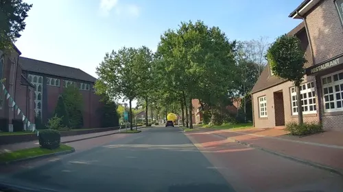
Gasthaus Block
Restaurant · Steak House, German, Salad · 11.3 km
33 Dorfstraße, Barßel
Mo off; Tu-Sa 17:00-22:00; Su 12:00-15:00,17:00-21:30
Gasthof zur Linde
Restaurant · German · 7.9 km
52 Thüler Straße, Friesoythe
Mo-Tu 17:30-21:30; Th-Sa 11:30-13:30, 17:30-21:30; Su 11:30-13:30,...
Heidehof Jansen-Olliges
Restaurant · German · 9.5 km
Von der rustikalen Gemütlichkeit im Kaminzimmer für Clubs bis hin zur gediegenen Eleganz für Festlichkeiten bis 300 Personen.
22 Neulorup, Friesoythe
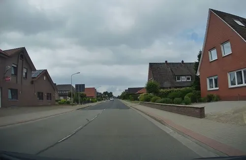
LUCKY STAR
Restaurant · Chinese, Asian, Japanese, Teppanyaki · 1.4 km
3 Schwaneburger Straße, Friesoythe
Mo-Th 17:00-22:30; Fr,Sa 12:00-15:00,17:00-22:30; Su 12:00-22:30;...
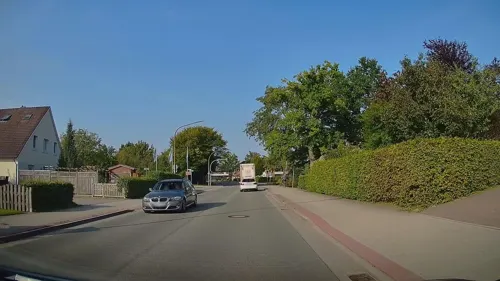
Pizzeria La Roma
Restaurant · Pizza, Italian · 0.7 km
18 Barßeler Straße, Friesoythe
Tu-Su 11:00-22:30, Mo off
Samos1
Restaurant · Pizza · 8.1 km
1 Schützenstraße, Friesoythe
Mo-Fr 11:00-14:25, 17:00-22:25; Sa,Su,PH 12:00-21:55
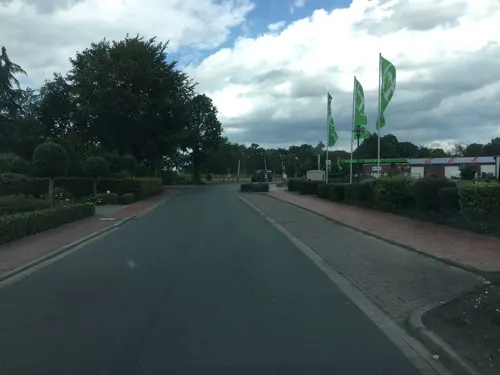
Bäckerei Behrends-Meyer
Bakery · 11.4 km
4 Raiffeisendamm, Saterland - Seelterlound
Mo-Sa 06:00-18:00; Su 08:00-11:00
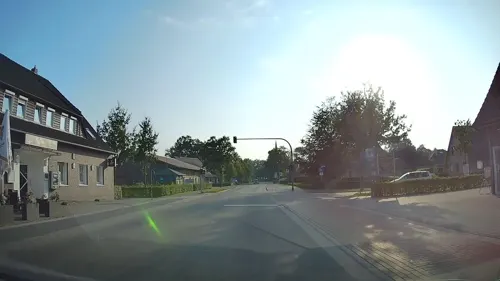


Bäckerei Glup
Bakery · 2.4 km
41 Altenoyther Straße, Friesoythe
Mo-Fr 06:00-18:00; Sa 06:00-13:00; Su 08:00-11:00

77 more on the map.
History
In 1227, Count Otto von Tecklenburg made Oite Castle in Friesoythe, which had just been built, his residence. Farmers, merchants and craftsmen quickly settled near the castle. As early as the first half of the 13th century, Friesoythe had extensive trade relations, as evidenced by the coin find from Friesoythe, whose more than 300 silver coins from Cologne, Münster, Osnabrück and other cities were only in circulation until 1235. Today's city center was soon surrounded by a massive city wall and was long considered impregnable. 1308 Friesoythe was first mentioned as a town. Friesoythe is occasionally referred to as a "Hanseatic town" and is said to have enjoyed Hanseatic privileges. It is unclear whether Friesoythe actually belonged to the Hanseatic League.
Friesoythe shares a diverse culture in Lower Saxony history. Many cultural influences of German, Anglo-Saxon, Dutch, East Frisian, Danish and Swedish culture are noticeable in the town and citizens. The town has a large following of Roman Catholicism and small percentages of Calvinism and Lutheranism. It was part of the Duchy of Oldenburg and also under rule to the French Empire in the 18th century.
From the History section of Friesoythe on Wikipedia, under CC BY-SA 4.0.
Where to stay21
Wohnmobilstellplatz Marina Park Friesoythe
Campground · 5.1 km
12 Am Friesoyther Kanal II, Friesoythe
Churches and places of worship22
St. Johannes Baptist Kirche
Church · Catholic · 7.6 km
31 Thüler Kirchstraße, Friesoythe
St. Johannes der Täufer
Church · Roman Catholic · 11.1 km
12 Am Dorfplatz, Hilkenbrook
St. Johannes Kirche Markhausen
Church · Catholic · 8.9 km
2A An der Schule, Friesoythe
St. Prosper und Ludmilla Kirche
Church · Roman Catholic · 8.0 km
6 Gehlenberger Kirchstraße, Friesoythe
Shopping29
Gas and EV charging19
Tankstelle Autohaus Schütte
Gas station · 11.4 km
264 Hauptstraße, Saterland - Seelterlound
Schools, colleges and libraries30
Kath. Öffentl. Bücherei Hilkenbrook
Library · 11.0 km
14 Am Dorfplatz, Hilkenbrook
Kath. öffentl. Bücherei Sedelsberg
Library · 8.4 km
3 Kaplan-Meyer-Straße, Saterland
Healthcare8
Map of Friesoythe
250 places. The map loads OpenStreetMap tiles when you open it.
Getting there and nearby towns
Flugplatz Varrelbusch (VAC) is the nearest airport with scheduled flights listed in OpenStreetMap, 17 km away.
- Garrel 13 km southeast, about 13 min by car
- Ostrhauderfehn 21 km northwest, about 21 min by car
- Wardenburg 23 km east, about 23 min by car
- Apen 23 km north, about 23 min by car
- Oldenburg 27 km northeast, about 27 min by car
- Westerstede 27 km north, about 27 min by car
- Großenkneten 28 km east, about 28 min by car
- Emstek 29 km southeast, about 29 min by car
- Papenburg 30 km west, about 30 min by car
- Wiefelstede 31 km northeast, about 31 min by car
Drive times are estimates from straight-line distance, not routes.
Local news
Headlines from INDB.
Reviews, tips and questions
Loading what members have shared...
Sources and licences
- GeoNames (CC BY 4.0): population, coordinates, regions and time zone
- Mapillary (see each image): photos
- OpenStreetMap contributors (ODbL 1.0): places, airports, map data
- Wikidata (CC0 1.0): elevation, founding date, time zone, website
- Wikimedia Commons (see each image): photos
- Wikipedia (CC BY-SA 4.0): overview and history text
Photo credits
- Friesoythe Kirche, T. E. Ryen, CC BY-SA 3.0
- Ehem. Rathaus von Friesoythe (1959 - 2003), JoachimKohler-HB, CC BY-SA 4.0
- Marienkirche in Friesoythe - Portal (2023), JoachimKohler-HB, CC BY-SA 4.0
- Franziskusbrunnen und Franziskushaus in Friesoythe (2023), JoachimKohler-HB, CC BY-SA 4.0
- Skulptur Franziskusbrunnen in Friesoythe (2023), JoachimKohler-HB, CC BY-SA 4.0
- Zentrale der Volksbank Friesoythe (2023), JoachimKohler-HB, CC BY-SA 4.0
- Begegnungszone Marktplatz Friesoythe (2023), JoachimKohler-HB, CC BY-SA 4.0
- Der Seher von Friesoythe (2023), JoachimKohler-HB, CC BY-SA 4.0
- Marienkirche in Friesoythe (2023), JoachimKohler-HB, CC BY-SA 4.0
- Zentrale der Volksbank Friesoythe, rückwärtig (2023), JoachimKohler-HB, CC BY-SA 4.0
- Feldkanone von 1638 in Friesoythe (2023), JoachimKohler-HB, CC BY-SA 4.0
- Wasserrad und Wasserkraftschnecke der Wassermühle Friesoythe (2023), JoachimKohler-HB, CC BY-SA 4.0
- "Haus Pancratz", Kirchstr. 13 in Friesoythe (2023), JoachimKohler-HB, CC BY-SA 4.0
- Burkamp 11 in Friesoythe (2023), JoachimKohler-HB, CC BY-SA 4.0
- Burkamp 3 in Friesoythe (2023), JoachimKohler-HB, CC BY-SA 4.0
- Burkamp 1 in Friesoythe (2023), JoachimKohler-HB, CC BY-SA 4.0
- Weltkriegsdenkmal in Friesoythe (2023), JoachimKohler-HB, CC BY-SA 4.0
- Burger King Schnellrestaurant mit Drive In in Friesoythe (2023), JoachimKohler-HB, CC BY-SA 4.0
- St. Marien-Stift Friesoythe, Wundzentrum (2023), JoachimKohler-HB, CC BY-SA 4.0
- Lokschuppen und Wasserturm in Friesoythe (2023), JoachimKohler-HB, CC BY-SA 4.0
- Wasserturm in Friesoythe (2023), JoachimKohler-HB, CC BY-SA 4.0
- Glittenberger Moor, Elke Freese, CC BY-SA 3.0
- Großes Tatemeer in Gehlenberg, Anna Knipper, CC BY-SA 4.0
- Evening at the Vehnemoor, Darius Dzinnik, CC BY-SA 3.0
- Friesoythe - Lange Straße + St.-Marien-Kirche 02 ies, Frank Vincentz, CC BY-SA 3.0
- Pfarrkirche St. Prosper Gehlenberg, Anna Knipper, CC BY-SA 4.0
- Saterland Sedelsberg - Hauptstraße - 45 01 ies, Frank Vincentz, CC BY-SA 3.0
- Barßel - Glittenbergstraße - Evangelische Kirche Reekenfeld 02 ies, Frank Vincentz, CC BY-SA 3.0
- St. Josef-Kirche in Kampe (Friesoythe), JoachimKohler-HB, CC BY-SA 4.0
- Hilkenbrook St. Johannes der Täufer kath, Sichi77, CC BY-SA 4.0
- St. Peter und Paul - Petersdorf, HardcoreJan, CC BY-SA 4.0
- St. Johannes Baptist Thüle, Jacek Rużyczka, CC BY-SA 4.0
- Gibbongehege Thüle, Allie_Caulfield, CC BY 2.0
- Hollener Moor, Airscreen, CC0
- St. Cäcilia-Kirche in Bösel, JoachimKohler-HB, CC BY-SA 4.0
- CDU-Wahlkreisbüro in Frieoythe (2023), JoachimKohler-HB, CC BY-SA 4.0
- Blacksmith forging a candlestick, Jacek Rużyczka, CC BY-SA 4.0
- Denkmal von 1907 des Kriegervereins Friesoÿthe, JoachimKohler-HB, CC BY-SA 4.0
- St. Vitus-Kirche in Altenoythe (Süd-Teilansicht), JoachimKohler-HB, CC BY-SA 4.0
- Dat Heimathuus in Bösel (2024), JoachimKohler-HB, CC BY-SA 4.0
- Street-level photo, hendel, CC BY-SA 4.0
- Street-level photo, hendel, CC BY-SA 4.0
- Street-level photo, VIA_KK, CC BY-SA 4.0
- Street-level photo, hendel, CC BY-SA 4.0
- Street-level photo, hendel, CC BY-SA 4.0
- Street-level photo, VIA_KK, CC BY-SA 4.0
- Street-level photo, jman1983, CC BY-SA 4.0
- Street-level photo, hendel, CC BY-SA 4.0
- Street-level photo, hendel, CC BY-SA 4.0
- Street-level photo, hendel, CC BY-SA 4.0
- Street-level photo, hendel, CC BY-SA 4.0
- Street-level photo, jmsbert, CC BY-SA 4.0
- Street-level photo, hendel, CC BY-SA 4.0
- Street-level photo, jman1983, CC BY-SA 4.0
- Street-level photo, schwartauch, CC BY-SA 4.0
- Street-level photo, schwartauch, CC BY-SA 4.0
- Street-level photo, hendel, CC BY-SA 4.0
- Street-level photo, hendel, CC BY-SA 4.0
- Street-level photo, jman1983, CC BY-SA 4.0
- Street-level photo, schwartauch, CC BY-SA 4.0
- Street-level photo, camdrive2000, CC BY-SA 4.0


Page built November 8, 2026. Spotted a mistake? Tell us or suggest a place.