


Espelkamp, Germany
Espelkamp is a town of 26,378 people in North Rhine-Westphalia, Germany.
Why visit Espelkamp
Townapedia lists 21 museums and landmarks, 39 parks and trails, 76 places to eat, 6 places to stay and 6 attractions in and around town.
Highlights include Hofladen, Neues Theater, Museumshof Rahden and Deutsches Automatenmuseum.
Weather in Espelkamp
Forecast from MET Norway (CC BY 4.0). Full forecast
About Espelkamp
Espelkamp (German pronunciation: [ˈɛspl̩ˌkamp] ; Low German: Espelkämpe) is a town in the Minden-Lübbecke district, in North Rhine-Westphalia, Germany.
From the Wikipedia article Espelkamp (this version), under CC BY-SA 4.0.
Things to do6


Museums and landmarks21


Schloss Benkhausen
Monument and historic site · 5.0 km



Moorhus Besucherzentrum
Monument and historic site · 6.7 km
57a Frotheimer Straße, Lübbecke
Mo,Tu off; Apr-Sep We-Sa 14:00-18:00, Su,PH 11:00-18:00;...



9 more on the map.
Parks, trails and playgrounds39


Freibad Gehlenbeck
Sports field and stadium · 6.6 km
57 Frotheimer Straße, Lübbecke


27 more on the map.
Restaurants and cafes76

Cafe Volgelnest
Cafe · Coffee Shop · 6.3 km
Frühstück auf Anmeldung
6 Moordamm, Lübbecke
Th-Su 14:00-18:00

Hotel-Restaurant Borchard
Restaurant · Regional · 5.7 km
26 Langekamp, Lübbecke
Mo,We-Sa 16:00-22:00; Su 10:00-14:30,17:30-21:00
Andreas' Grillecke & Restaurant Jasmin
Restaurant · Russian · 0.9 km
36 Gabelhorst, Espelkamp
Th-Su 12:00-14:30, 17:00-22:00

Bäckerei Röbelt
Bakery · 1.3 km
Brot & Brötchen handgemacht!
6 Tannenbergplatz, Espelkamp
Su 08:00-11:00; Mo-Fr 06:15-11:00; Sa 06:00-11:00
Gasthaus Rose, Restaurant, Hotel, Catering
Restaurant · German · 4.4 km
10 Zum Kleihügel, Espelkamp
Th-Sa 17:00-21:00; Su 12:00-21:00
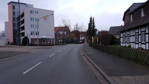
Ristorante - Pizzeria Leonardo
Restaurant · Pizza · 5.7 km
1 Osnabrücker Straße, Rahden
We-Su,Mo 12:00-14:00,17:30+
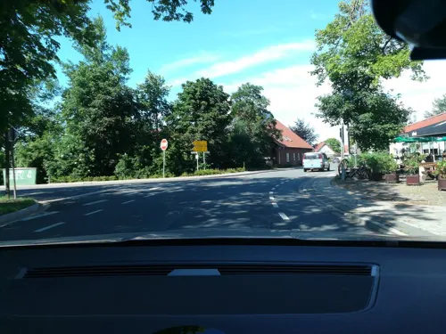
Albersmeyer "Im Loh" Hotel und Restaurant
Restaurant · Regional · 4.6 km
53 Diepenauer Straße, Espelkamp
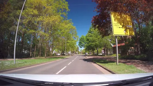
Bäckerei Kölling
Bakery · 0.8 km
21e-21i General-Bishop-Straße, Espelkamp
Mo-Fr 07:30 - 18:00; Sa 07:00 - 13:00
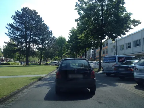
Bäckerei Middelberg
Bakery
Breslauer Straße, Espelkamp
Mo-Fr 06:00-18:00, Sa 07:00-13:00, Su 08:00-13:00
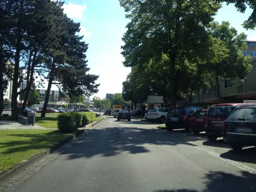


Bäckerei Schmidt
Bakery
30 Breslauer Straße, Espelkamp
Mo-Fr 06:00-18:30; Sa 06:30-12:30; Su 07:30-12:00
64 more on the map.
Where to stay6
Churches and places of worship19
Freie Evangelische Bibelgemeinde Espelkamp e.V. (FEBG)
Church · Baptist · 1.7 km
52 General-Bishop-Straße, Espelkamp
Freie Evangelische Bibelgemeinde Lübbecke e.V. (FEBG)
Church · Baptist · 6.3 km
5 Siemensstraße, Lübbecke
Mennonitengemeinde
Church · Mennonite · 0.9 km
1 John-Gingerich-Straße, Espelkamp
Shopping27
Gas and EV charging17
Tankstelle am Supermarkt
Gas station · 0.8 km
10 General-Bishop-Straße, Espelkamp
Schools, colleges and libraries25
Städtische Sekundarschule Rahden
School · 6.0 km
1 Freiherr-vom-Stein-Straße, Rahden
Berufskolleg Lübbecke Teilstandort Espelkamp
School
12 Trakehner Straße, Espelkamp
Förderschule Geistige Entwicklung des Kreises Minden-Lübbecke
School · 0.9 km
38 Gabelhorst, Espelkamp
Healthcare10
Panda-Apotheke Inh. Minh Doan-Vu
Clinic and pharmacy · 0.8 km
3 Gerhard-Wetzel-Straße, Espelkamp
Map of Espelkamp
246 places. The map loads OpenStreetMap tiles when you open it.
Getting there and nearby towns
Flugplatz Bielefeld (BFE) is the nearest airport with scheduled flights listed in OpenStreetMap, 47 km away.
- Rahden 6 km north, about 6 min by car
- Lübbecke 8 km south, about 8 min by car
- Hille 10 km southeast, about 10 min by car
- Preußisch Oldendorf 12 km southwest, about 12 min by car
- Hüllhorst 12 km south, about 12 min by car
- Rödinghausen 17 km southwest, about 17 min by car
- Kirchlengern 20 km south, about 20 min by car
- Minden 22 km southeast, about 22 min by car
- Löhne 22 km south, about 22 min by car
- Petershagen 23 km east, about 23 min by car
Drive times are estimates from straight-line distance, not routes.
Local news
Headlines from INDB.
Reviews, tips and questions
Loading what members have shared...
Sources and licences
- GeoNames (CC BY 4.0): population, coordinates, regions and time zone
- Mapillary (see each image): photos
- OpenStreetMap contributors (ODbL 1.0): places, airports, map data
- Wikidata (CC0 1.0): elevation, founding date, time zone, website, landmarks and historic places
- Wikimedia Commons (see each image): photos
- Wikipedia (CC BY-SA 4.0): overview and history text
Photo credits
- Espelkamp Breslauer Straße Brunnen, Hrz29vv, CC BY-SA 3.0
- Espelkamp/Westfalen, Gymnasium, Steiner, Egon, CC BY-SA 3.0 de
- Espelkamp, Neubaugebiet, Unknown author Unknown author, CC BY-SA 3.0 de
- Espelkamp, Neubaugebiet, Unknown author Unknown author, CC BY-SA 3.0 de
- Bahnhof Espelkamp 1, Björn Leisten, CC BY 3.0
- 034 10 Jahre Espelkamp-Mittwald 1959-10-03, Dieter Seliger, CC BY-SA 2.0 de
- Bahnhof Espelkamp, Stefan Flöper, CC BY-SA 4.0
- Gabelweiher Espelkamp, Björn Leisten, CC BY 3.0
- Espelkamp geothermische Karte, Hagar66, CC BY-SA 3.0
- 288 Espelkamp-Mittwald Suedtor 1958-10-02, Dieter Seliger, CC BY-SA 2.0 de
- Gabelweiher Espelkamp 2, Björn Leisten, CC BY 3.0
- Offener Buecherschrank Espelkamp Marktkauf 1 DD, DeaVenationis, CC BY-SA 4.0
- Falk Oberdorf Sant Andreas Kirche, Falk Oberdorf, Osterstr. 8, 32312 Lübbecke, Public domain
- Christuskirche Isenstedt Südseite, Sonojak, CC BY-SA 4.0
- Ellerburg1, Ingo2802 17:41, 15. Feb. 2008 (CET), CC BY-SA 3.0
- Alte Klus (Frotheim), Gerhard Terstegge (www.fototaxis.de), CC BY-SA 3.0
- Mehrere blaue Moorfrosch‑Männchen (Rana arvalis) mit einem Weibchen im Amplexus, Tanja Riedel, CC BY 4.0
- Tonnenheide Grosser Stein2, Ingo2802, CC BY-SA 3.0
- Gut Renkhausen, Ingo2802 at German Wikipedia, CC BY-SA 3.0
- Benkhausen Luftaufnahme, Claudia Hecke, CC BY-SA 3.0
- Museum Foto Wikipedia Teppichmuseum Tönsmann 003, Creius, CC BY-SA 3.0
- Rahden Museumshof 1, Corradox, CC BY-SA 3.0
- Panorama Hollwinkel Front, TUBS, Public domain
- Thomaskirche-Espelkamp, Salfahli, CC BY-SA 3.0
- Deutsches Automatenmuseum Eingang, Sonojak, CC BY-SA 4.0
- Falk Oberdirf Freibad Gehlenbeck Eingang, Falk Obedorf, Osterstr. 8, 32312 Lübbecke, CC BY-SA 3.0 de
- Freimoor bei Espelkamp-Frotheim, Fotoscotty, CC BY-SA 4.0
- Falk Oberdorf Lübbecke Nord1, Falk Oberdorf , Osterstr. 8, 32312 Lübbecke, Public domain
- Morgengrauen, Fotoscotty, CC BY-SA 3.0
- Schloss Benkhausen, Claudia Hecke, Michael Chrobok, CC BY-SA 3.0
- Rehbock im Osterwald-004, Markus Hallmann, CC BY-SA 4.0
- Früher Morgen, Fotoscotty, CC BY-SA 3.0
- Kirche Alswede, Jan5, Public domain
- St. Johannis Rahden von Süden, Sonojak, CC BY-SA 4.0
- Thomaskirche und Thomas-Zentrum im Jahr 2022, Christoph Heuer, CC BY-SA 4.0
- Bücherschrank in der vhs Lübbecker Land, Volkshochschule Lübbecker Land, CC BY-SA 4.0
- Siedlung für Flüchtlinge, Pilgram, CC BY-SA 3.0 de
- Street-level photo, thorstenh, CC BY-SA 4.0
- Street-level photo, rahden39, CC BY-SA 4.0
- Street-level photo, spindle, CC BY-SA 4.0
- Street-level photo, spindle, CC BY-SA 4.0
- Street-level photo, spindle, CC BY-SA 4.0
- Street-level photo, spindle, CC BY-SA 4.0
- Street-level photo, spindle, CC BY-SA 4.0
- Street-level photo, Schmarvis, CC BY-SA 4.0
- Street-level photo, thorstenh, CC BY-SA 4.0
- Street-level photo, spindle, CC BY-SA 4.0


Page built November 8, 2026. Spotted a mistake? Tell us or suggest a place.